
Taunus
Beschreibung
Low mountain area in Hessen and Rheinland-Pfalz, named after my father's first car (or vice versa?).
Wanderwege Region
Links
Fakten
Berichte
Führer und Karten
Übernachtung
Organisationen
Reisebüros
GPS
Sonstiges
Bücher

De Zwerver
Netherlands
2021
Netherlands
2021
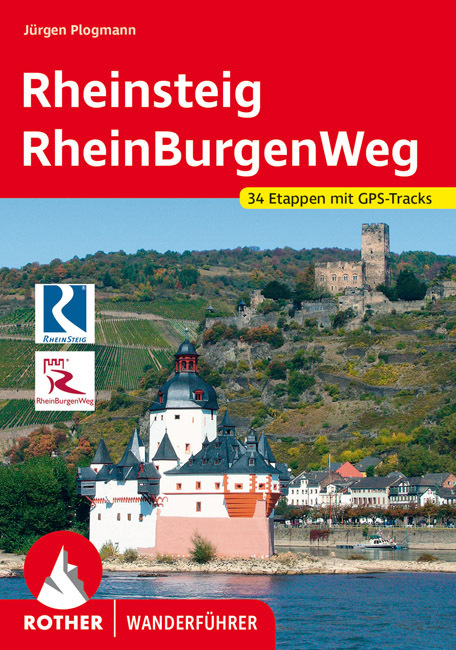
- Wandelgids Rheinsteig mit Rheinburgenweg und Rheinhöhenwegen | Rother Bergverlag
- Der romantische Mittelrhein zwischen Mainz/Wiesbaden und Bonn ist eine der spektakulärsten Landschaften Deutschlands und UNESCO-Welterbe. Neben dem Erleben der Natur trifft der Wanderer am Rhein auf viel Kultur, sehenswerte mittelalterliche Städte und die weltweit größte Burgendichte. In diesem Rother Wanderführer werden die wichtigsten... Read more


De Zwerver
Netherlands
2016
Netherlands
2016
- Wandelgids Kom-Emine Bulgarije E3 | Oilaripi
- Een uitstekende wandelgids van een beroemd lange-afstands-wandelpad in Bulgarije, onderdeel van de E3 route. Goede beschrijving, mooie kaarten en praktische informatie. Onverwacht hoog nivo van de gids voor een land waar tot voor kort weinig beschikbaar was. Kom-Emine is a long distance path in Bulgaria, part of the E3 European Long Distance... Read more
De Zwerver
Netherlands
2021
Netherlands
2021

De Zwerver
Netherlands
2017
Netherlands
2017
- Wandelgids 411 Kautokeino - Nordkap E1 | Conrad Stein Verlag
- Handzaam boekje met de routebeschrijving inclusief een heleboel praktische informatie. De beschrijving is uitstekend, maar kaarten zijn wat beperkt. Duits. Die 330 km lange Wanderung auf dem E1 von Kautokeino zum Nordkap ist ein unvergessliches Wanderabenteuer. In 15 Etappen laufen Sie durch die Wildnis Nordnorwegens und überqueren die... Read more

De Zwerver
Netherlands
2022
Netherlands
2022
De Zwerver
Netherlands
2011
Netherlands
2011
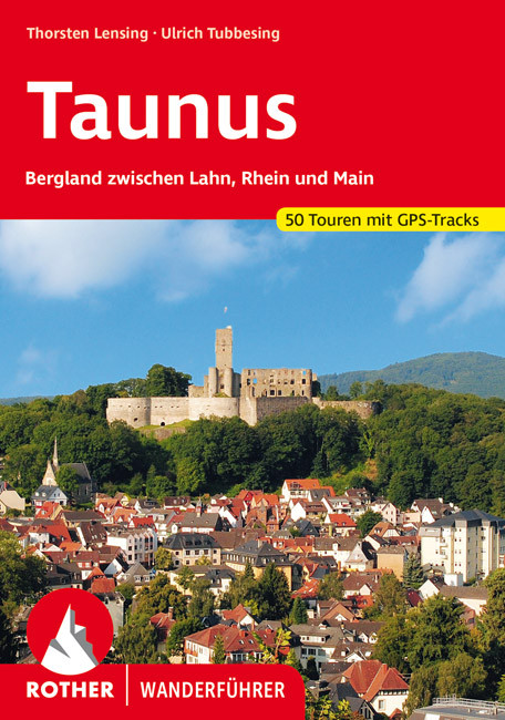
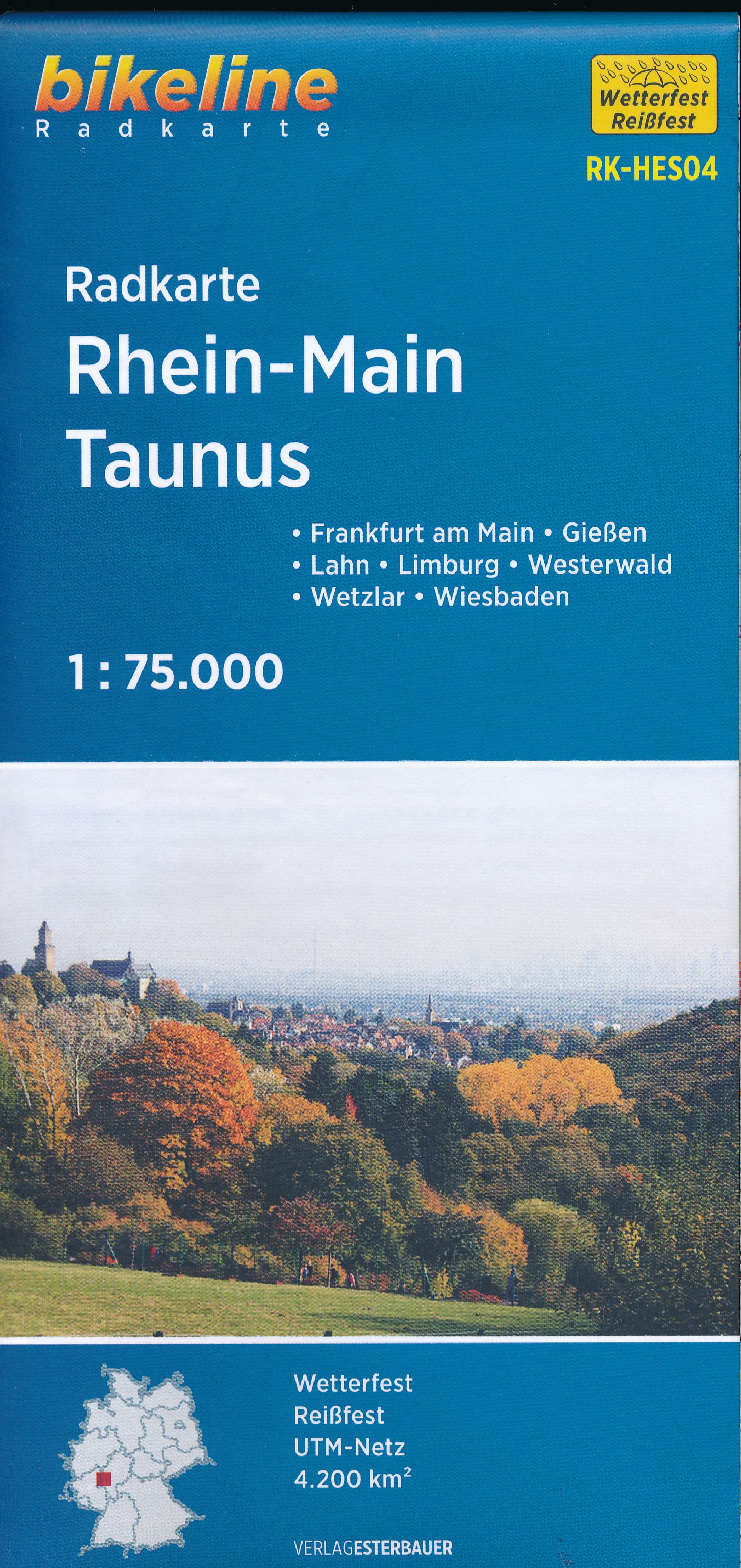
- Wandelgids Hikeline Taunus | Esterbauer
- Handzame gids met een goede beschrijving van een groot aantal dagtochten in dit gebied. De gids is in spiraalbinding en elke pagina is op scheur- en watervast papier gedrukt. Daar is echt over nagedacht! Länge, Höhenmeter und Touren Die 46 Touren dieses Buches decken eine große Bandbreite von kurzen Spaziergängen bis hin zu anspruchsvolleren... Read more
De Zwerver
Netherlands
2021
Netherlands
2021
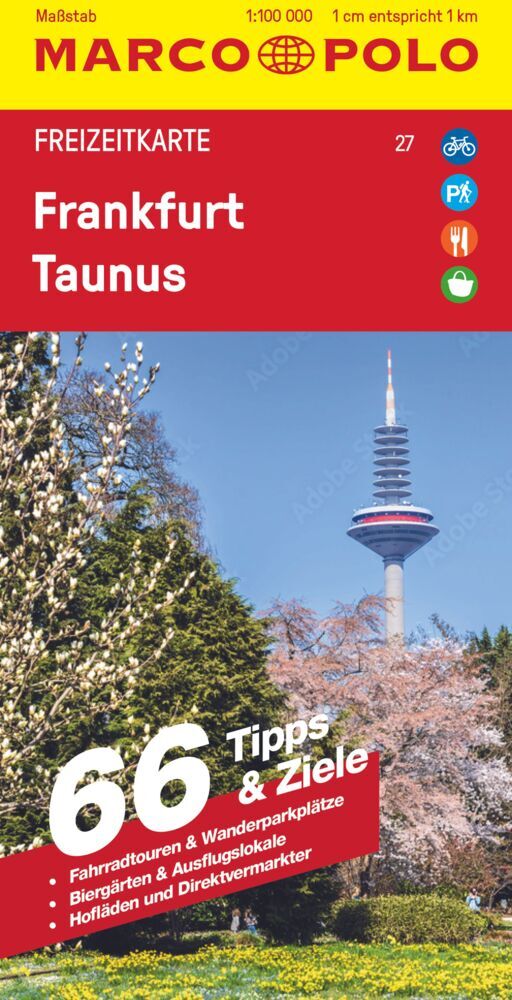
- Wandelgids Rund um Frankfurt | Rother Bergverlag
- mit Taunus, Odenwald, Rheingau, Spessart, Vogelsberg. 50 Touren. Mit GPS-Daten Read more
De Zwerver
Netherlands
2019
Netherlands
2019
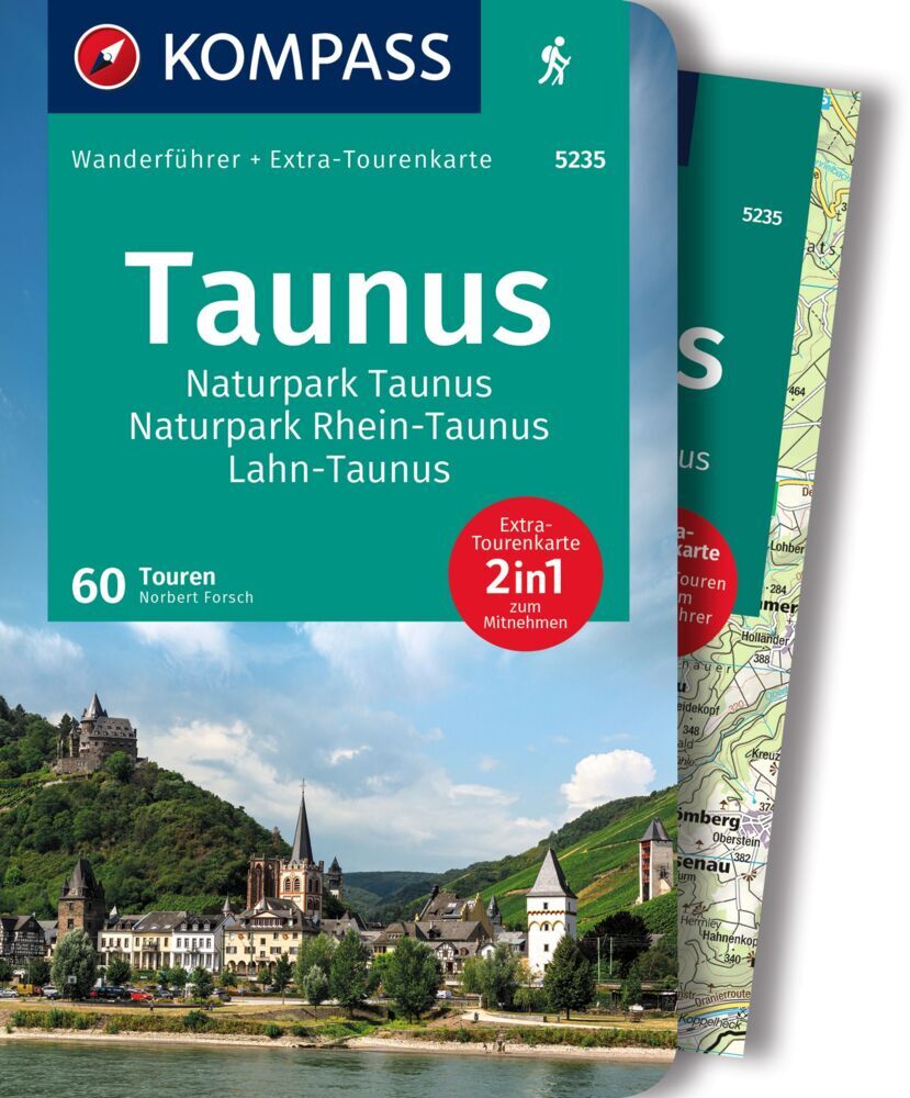
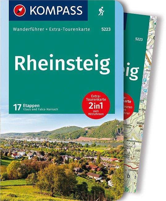
- Wandelgids 5223 Wanderführer Rheinsteig - Siebengebirge, Rheinisches Schiefergebirge, Taunus, Rheingau. | Kompass
- Wanderführer mit Extra Tourenkarte zum Mitnehmen. Read more
- Also available from:
- Bol.com, Netherlands
- Bol.com, Belgium
Bol.com
Netherlands
2019
Netherlands
2019
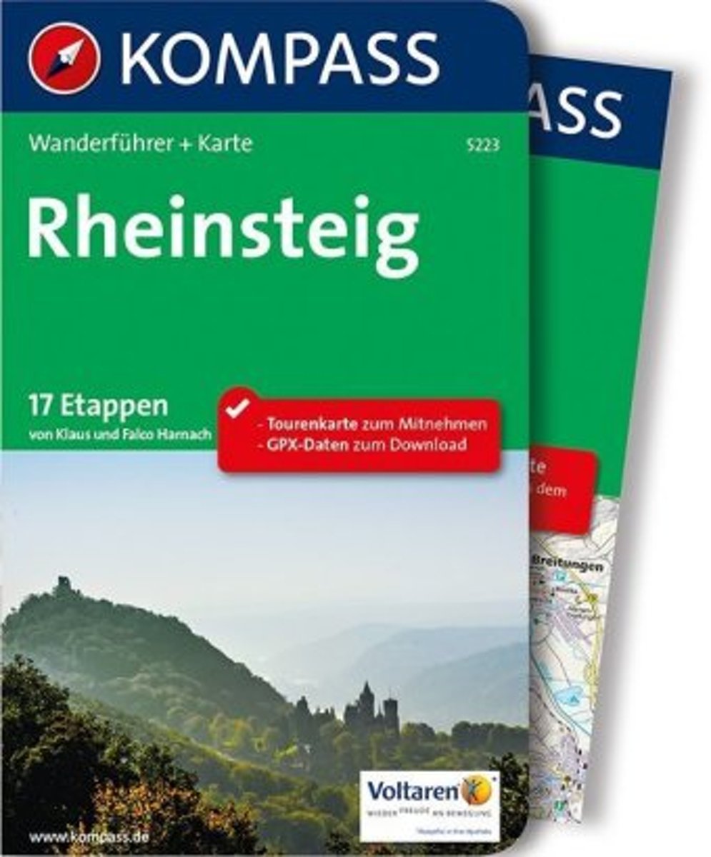
- WF5223 Rheinsteig Kompass
- De Kompass wandelgids + kaart geeft een overzicht van alle wandelroutes in het gebied met nauwkeurige routeaanwijzingen en hoogteaanduidingen, De extra grote kaart, schaal 1:35 000, is ideaal om van te voren uw route uit te stippelen en om onderweg te gebruiken • naast de bekende bestemmingen, worden ook de minder bekende vermeld • openbaar... Read more
Bol.com
Belgium
2019
Belgium
2019
- WF5223 Rheinsteig Kompass
- De Kompass wandelgids + kaart geeft een overzicht van alle wandelroutes in het gebied met nauwkeurige routeaanwijzingen en hoogteaanduidingen, De extra grote kaart, schaal 1:35 000, is ideaal om van te voren uw route uit te stippelen en om onderweg te gebruiken • naast de bekende bestemmingen, worden ook de minder bekende vermeld • openbaar... Read more
Bol.com
Netherlands
Netherlands
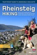
- Rheinsteig Hiking - Your pocket guide to unmissable highlights
- The 320km Rheinsteig in south-west Germany follows the twists and turns of the Rhine on its eastern bank from Bonn in North Rhine-Westphalia through Rhineland-Palatinate to Wiesbaden in the Rheingau. Narrow paths guide you through stunning scenery as you wind your way along cramped rocky gorges, up and over precipitous cliffs, past beautifully... Read more
- Also available from:
- Bol.com, Belgium
Bol.com
Belgium
Belgium
- Rheinsteig Hiking - Your pocket guide to unmissable highlights
- The 320km Rheinsteig in south-west Germany follows the twists and turns of the Rhine on its eastern bank from Bonn in North Rhine-Westphalia through Rhineland-Palatinate to Wiesbaden in the Rheingau. Narrow paths guide you through stunning scenery as you wind your way along cramped rocky gorges, up and over precipitous cliffs, past beautifully... Read more
Karten

The Book Depository
United Kingdom
United Kingdom
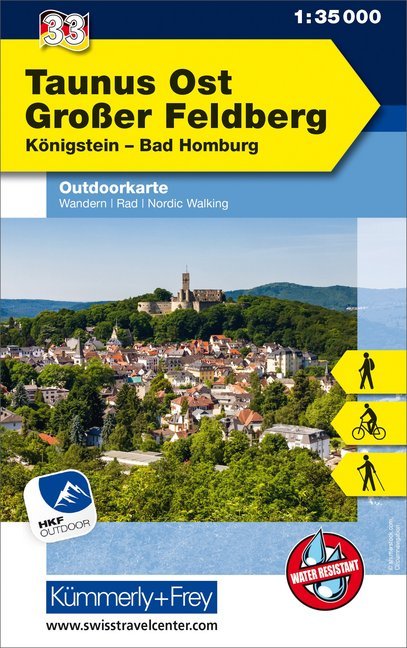
- Taunus Est - Grosser Feldberg 33
- The eastern part of the Taunus Mountains at 1:35,000 from Kümmerly+Frey in a series GPS compatible, double-sided maps printed on durable, waterproof and tear-resistant plastic paper; contoured, with hiking and cycle routes, other recreational activities, etc. Maps in this series are at a scale of either 1:50,000 or 1:35,000. Contour interval... Read more
- Also available from:
- De Zwerver, Netherlands
- Stanfords, United Kingdom
De Zwerver
Netherlands
Netherlands
- Wandelkaart 33 Outdoorkarte Taunus Ost - Großer Feldberg, | Kümmerly & Frey
- The eastern part of the Taunus Mountains at 1:35,000 from Kümmerly+Frey in a series GPS compatible, double-sided maps printed on durable, waterproof and tear-resistant plastic paper; contoured, with hiking and cycle routes, other recreational activities, etc. Maps in this series are at a scale of either 1:50,000 or 1:35,000. Contour interval... Read more

Stanfords
United Kingdom
United Kingdom
- Taunus East - Grosser Feldberg - Königstein - Bad Homberg K+F Outdoor Map 33
- The eastern part of the Taunus Mountains at 1:35,000 from Kümmerly+Frey in a series GPS compatible, double-sided maps printed on durable, waterproof and tear-resistant plastic paper; contoured, with hiking and cycle routes, other recreational activities, etc. Maps in this series are at a scale of either 1:50,000 or 1:35,000. Contour interval... Read more
De Zwerver
Netherlands
Netherlands
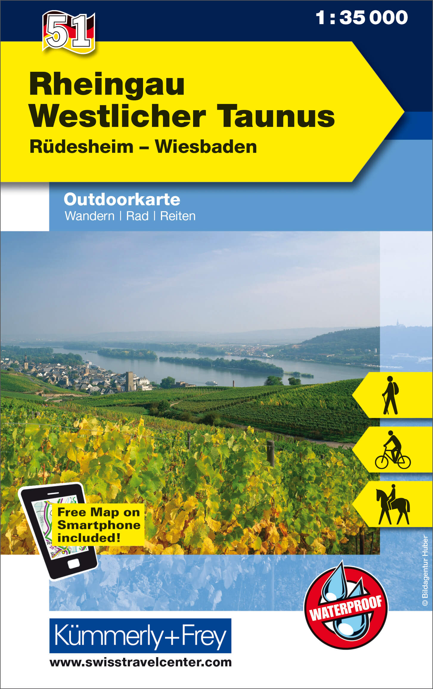
- Wandelkaart 51 Outdoorkarte Rheingau Westlicher Taunus | Kümmerly & Frey
- Rheingau - West Taunus - Rüdesheim - Wiesbaden area of Germany at 1:35,000 from Kümmerly+Frey in a series GPS compatible, double-sided maps printed on durable, waterproof and tear-resistant plastic paper; contoured, with hiking and cycle routes, other recreational activities, etc.Maps in this series are at a scale of either 1:50,000 or... Read more
- Also available from:
- Stanfords, United Kingdom
Stanfords
United Kingdom
United Kingdom
- Rheingau - West Taunus - Rüdesheim - Wiesbaden K+F Outdoor Map 51
- Rheingau - West Taunus - Rüdesheim - Wiesbaden area of Germany at 1:35,000 from Kümmerly+Frey in a series GPS compatible, double-sided maps printed on durable, waterproof and tear-resistant plastic paper; contoured, with hiking and cycle routes, other recreational activities, etc.Maps in this series are at a scale of either 1:50,000 or... Read more

De Zwerver
Netherlands
Netherlands
- Wandelkaart 5 Rila gebergte | Domino
- Rila Mountains at 1:50,000 on a large, double-sided, contoured map with GPS waypoints for shelters and chalets, peaks, etc. and highlighting hiking routes. Topography is shown by contours at 50m intervals with additional relief shading and graphics and colouring for scree, single rocks over 5m high, marshlands and pine scrub and forests. An... Read more
- Also available from:
- Stanfords, United Kingdom

Stanfords
United Kingdom
United Kingdom
- Rila Mountains Domino
- Rila Mountains at 1:50,000 on a large, double-sided, contoured map with GPS waypoints for shelters and chalets, peaks, etc. and highlighting hiking routes. Topography is shown by contours at 50m intervals with additional relief shading and graphics and colouring for scree, single rocks over 5m high, marshlands and pine scrub and forests. An... Read more
De Zwerver
Netherlands
Netherlands
De Zwerver
Netherlands
2023
Netherlands
2023

De Zwerver
Netherlands
Netherlands
- Wandelkaart 6 Pirin gebergte | Domino
- Pirin Mountains at 1:50,000 on a large, double-sided, contoured map with GPS waypoints for shelters and chalets, peaks, etc. and highlighting hiking routes. Topography is shown by contours at 40m intervals with additional relief shading and graphics and colouring for sandstone stacks, single rocks over 5m high, marshlands and different types of... Read more
- Also available from:
- Stanfords, United Kingdom

Stanfords
United Kingdom
United Kingdom
- Pirin Mountains Domino
- Pirin Mountains at 1:50,000 on a large, double-sided, contoured map with GPS waypoints for shelters and chalets, peaks, etc. and highlighting hiking routes. Topography is shown by contours at 40m intervals with additional relief shading and graphics and colouring for sandstone stacks, single rocks over 5m high, marshlands and different types of... Read more
De Zwerver
Netherlands
Netherlands
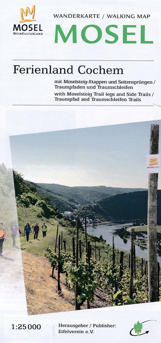
- Wandelkaart 23 Mosel - Ferienland Cochem | Eifelverein
- Wandelkaart van een deelgebied van de Eifel. Deze kaarten worden uitgegeven door de zeer actieve Eifelverein. Deze vereniging houdt zich onder andere bezig met de wandelroutes in het gebied: op bijna elke boom in de Eifel vind je wel een teken! De kaarten zijn nauwkeurig en gedetaileerd, met ingetekende wandelroutes maar ook symbolen voor... Read more

De Zwerver
Netherlands
Netherlands
- Wandelkaart - Wegenkaart - landkaart 7 Westelijke Rhodopen - Western Rhodopes | Domino
- Western Rhodope Mountains at 1:100,000 on a contoured GPS compatible map from Domino extending from just west of the Pirin National Park to Asenovgrad in the north-east. The map is double-sided with a good overlap between the sides. Topography is shown by contours at 50m intervals with relief shading and spot heights, plus colouring for... Read more
- Also available from:
- Stanfords, United Kingdom

Stanfords
United Kingdom
United Kingdom
- Western Rhodope Mountains Domino Map
- Western Rhodope Mountains at 1:100,000 on a contoured GPS compatible map from Domino extending from just west of the Pirin National Park to Asenovgrad in the north-east. The map is double-sided with a good overlap between the sides. Topography is shown by contours at 50m intervals with relief shading and spot heights, plus colouring for... Read more
De Zwerver
Netherlands
Netherlands
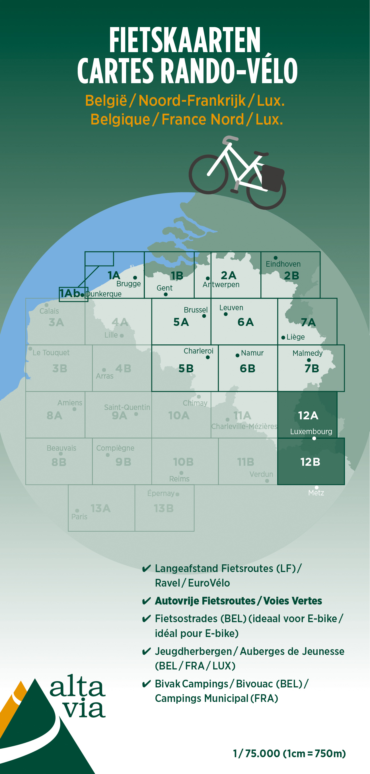
- Fietskaart 12 Luxemburg & Moezel | Alta Via
- Alta Via`s topographical cycling maps emphasize car-free cycling routes or the so-called Voies Vertes (Green Routes), a cycling network that runs through Belgium and Luxembourg. All LF and Ravel cycle routes are included, supplemented with old railways and towpaths that have been transformed into bike paths. The map also lists all youth... Read more
- Also available from:
- Stanfords, United Kingdom

Stanfords
United Kingdom
United Kingdom
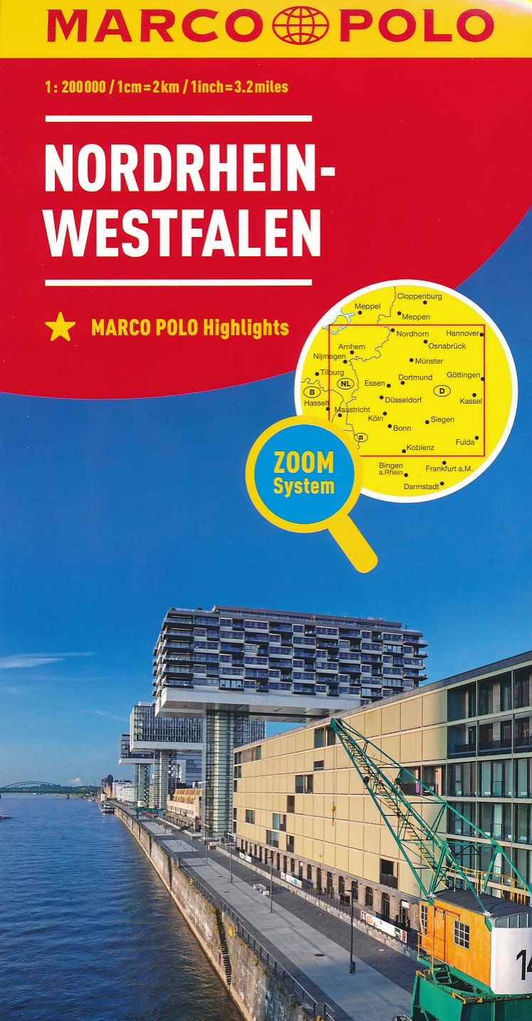
- North Rhine-Westphalia Marco Polo Regional Map 5
- German state of North Rhine-Westphalia on a large, double-sided indexed road map at 1:200,000 in the MairDumont’s Marco Polo series, prominently highlighting interesting locations and protected areas. An index booklet includes city centre street plans plus enlargements at 1:100,000 showing in greater detail the environs with road access to... Read more

De Zwerver
Netherlands
Netherlands
- Wandelkaart 1 Stara Planina gebergte | Domino
- Stara Planina Central: Zlatitsa to Kalofer map at 1:50,000 from Bulgarian publishers Domino, contoured and GPS compatible, with hiking trails, accommodation options including a list of local mountain refuges, etc. The map is double-sided and covers the mountains from just west of Ribaritsa and Zlatitsa eastwards beyond Kalofer to the peak of... Read more
- Also available from:
- Stanfords, United Kingdom

Stanfords
United Kingdom
United Kingdom
- Stara Planina Central: Zlatitsa to Kalofer Domino Map
- Stara Planina Central: Zlatitsa to Kalofer map at 1:50,000 from Bulgarian publishers Domino, contoured and GPS compatible, with hiking trails, accommodation options including a list of local mountain refuges, etc. The map is double-sided and covers the mountains from just west of Ribaritsa and Zlatitsa eastwards beyond Kalofer to the peak of... Read more
De Zwerver
Netherlands
Netherlands
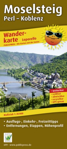
- Wandelkaart Moselsteig | Publicpress
- Beschreven met veel praktische informatie en bezienswaardigheden onderweg. Erg handig uitgevoerd in water- en scheurvast plastic en in praktisch uitklapformaat! Der Qualitätswanderweg führt auf seinen 365 km Länge von Perl nach Koblenz entlang der Mosel durch eine der schönsten Kulturlandschaften Europas. Geprägt wird sie vom Wein, einer über... Read more