Teutoburgerwald
Beschreibung
Low mountain area in Nordrhein-Westfalen and Niedersachsen.
Wanderwege Region
Links
Fakten
Berichte
Führer und Karten
Übernachtung
Organisationen
Reisebüros
GPS
Sonstiges
Bücher
- Also available from:
- De Zwerver, Netherlands

De Zwerver
Netherlands
2022
Netherlands
2022
De Zwerver
Netherlands
2023
Netherlands
2023
De Zwerver
Netherlands
2014
Netherlands
2014
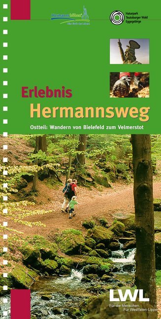
- Wandelgids Erlebnis Hermannsweg - Ostteil | TPK Kiper
- Zeer goede wandelgids met een prima beschrijving, zeer duidelijke kaarten en veel informatie. Bovendien in een ringband, dus uitermate handig in gebruik! Route van Bielefeld naar Horn - Bad Meinberg Östlicher Teil des zweibändigen Wanderführers "Erlebnis Hermannsweg" - Der Hermannsweg im Teutoburger Wald gilt als einer der schönsten... Read more

De Zwerver
Netherlands
2017
Netherlands
2017
- Wandelgids 411 Kautokeino - Nordkap E1 | Conrad Stein Verlag
- Handzaam boekje met de routebeschrijving inclusief een heleboel praktische informatie. De beschrijving is uitstekend, maar kaarten zijn wat beperkt. Duits. Die 330 km lange Wanderung auf dem E1 von Kautokeino zum Nordkap ist ein unvergessliches Wanderabenteuer. In 15 Etappen laufen Sie durch die Wildnis Nordnorwegens und überqueren die... Read more

De Zwerver
Netherlands
2022
Netherlands
2022


De Zwerver
Netherlands
2022
Netherlands
2022
De Zwerver
Netherlands
2022
Netherlands
2022
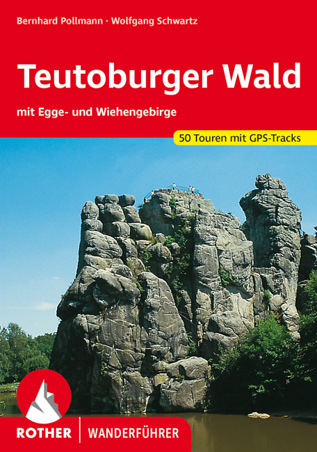
- Wandelgids Teutoburger Wald - Teutoburgerwoud | Rother Bergverlag
- Uitstekende wandelgids met een groot aantal dagtochten in dal en hooggebergte. Met praktische informatie en beperkt kaartmateriaal! Wandelingen in verschillende zwaarte weergegeven in rood/blauw/zwart. Im Einzugsbereich des Ruhrgebietes und der Großstädte Osnabrück, Bielefeld und Paderborn gelegen, zählen der Teutoburger Wald sowie das Egge-... Read more

Stanfords
United Kingdom
United Kingdom
- Münsterland 3-Map Set Kompass 849
- The Münsterland region of North Rhine-Westphalia on a set of three detailed, GPS compatible maps at 1:50,000 from Kompass with local and long-distance footpaths, cycling routes, accommodation, etc. Coverage extends north to Osnabrück and Enschede in the Netherlands, and south to Hamm and Reckinghausen.KOMPASS HIKING & RECREATIONAL MAPS:This... Read more
Karten
De Zwerver
Netherlands
2022
Netherlands
2022
De Zwerver
Netherlands
2014
Netherlands
2014
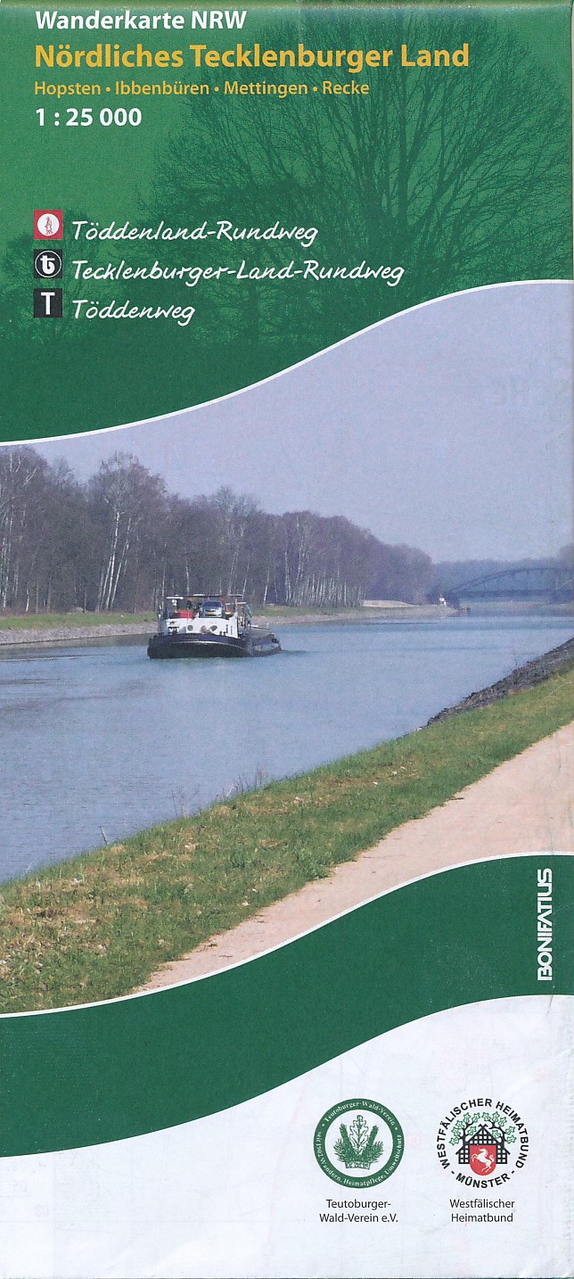
- Wandelkaart Nördliches Tecklenburger Land | NRW Bonifatius
- Gedetailleerde topografische wandelkaart, vele routes ingetekend. Das Tecklenburger Land, in dem die wichtigsten Orte durch den 136 km langen Tecklenburger-Land-Rundweg (weißes "t" auf schwarzem Grund) verbunden werden, liegt im Kreis Steinfurt und grenzt im Norden und Osten an das Nachbarland Niedersachsen an. Sein nördlicher Bereich... Read more
De Zwerver
Netherlands
2021
Netherlands
2021
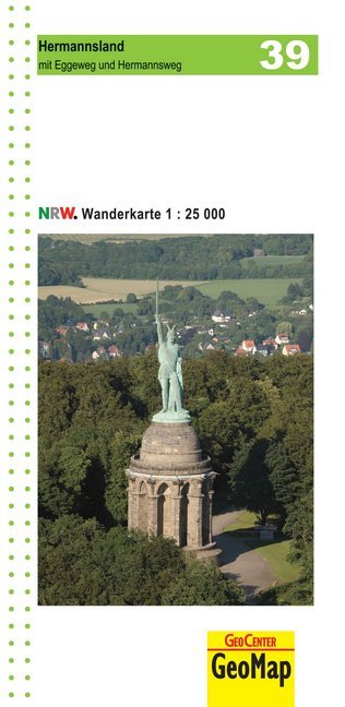
- Wandelkaart 39 Hermannsland mit Eggeweg und Hermannsweg | GeoMap
- mit Eggeweg und Hermannsweg Amtliche Karten Nordrhein-Westfalen 1 : 25 000 Wanderkarten. 2. Auflage, Laufzeit bis 2016. Read more

De Zwerver
Netherlands
2019
Netherlands
2019
- Wandelkaart Hermannsweg | Publicpress
- Wandelkaart met hoogtelijnen en toeristische informatie van de Hermannsweg, een wandeling van 158.5 km door het Teutoburger Wald, de kaart is geschikt voor gebruik met GPS. Scheurvast en weerbestendig. Met tips voor uitstapjes, gastronomie en recreatie. Dem 160 km langen Hermannsweg ist die Wanderkarte Hermannsweg gewidmet. Der auf dem Kamm des... Read more
De Zwerver
Netherlands
2011
Netherlands
2011
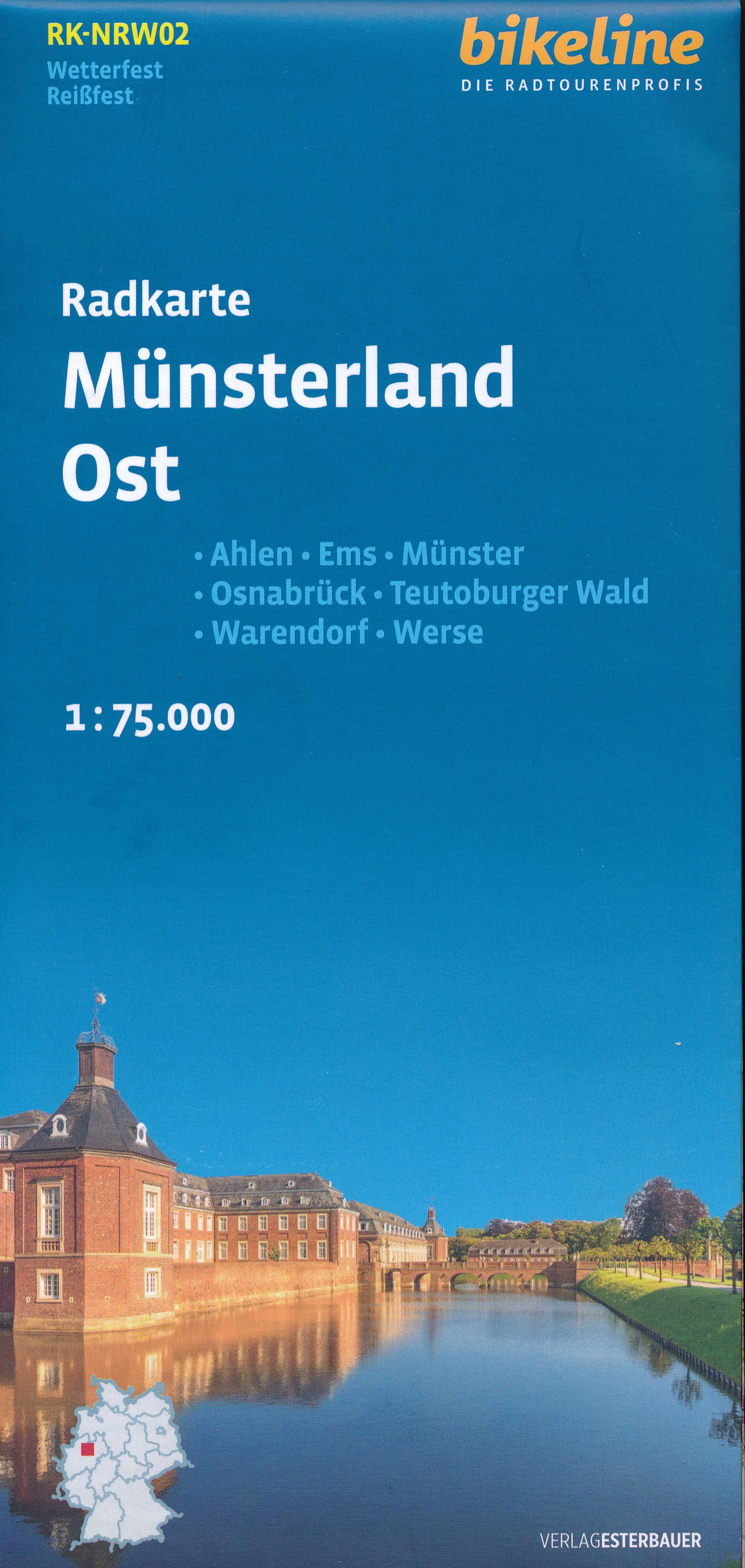
- Fietskaart NDS11 Bikeline Radkarte Osnabrücker Land | Esterbauer
- Bikeline Radkarte Deutschland Osnabrück und Umgebung 1 : 75 000 ab 6.9 EURO Bad Essen, Bad Iburg, Bramsche, Ibbenbüren, Oldenburger Münsterland Niedersachsen Bikeline Radkarte. 1. Auflage Read more

De Zwerver
Netherlands
2016
Netherlands
2016
- Wandelkaart Der Hermannsweg von Rheine bis zur Velmerstot (Leopoldstal) | Probst
- Duidelijke wandelkaart voor de hele route. Ingetekend met symbolen kan fout lopen nauwelijks gebeuren. Diese beliebte Wanderkarte zum Hermannweg im Teutoburger Wald zeichnet sich vor allem durch die praktische Leporello-Faltung aus, so dass eine besonders benutzerfreundliche Handhabung gewährleistet ist. Die Grundlage für die... Read more
- Also available from:
- Stanfords, United Kingdom

Stanfords
United Kingdom
United Kingdom
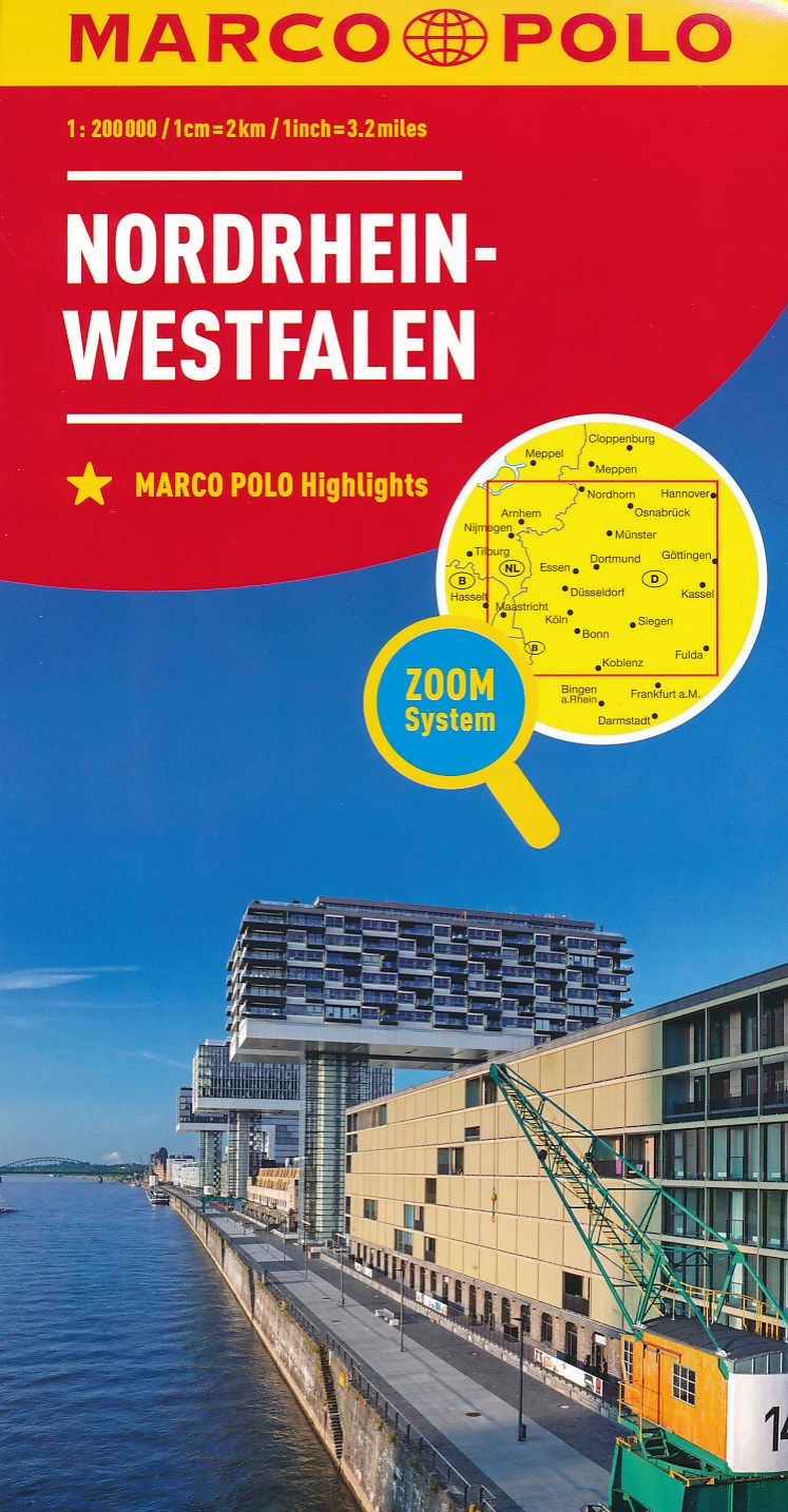
- North Rhine-Westphalia Marco Polo Regional Map 5
- German state of North Rhine-Westphalia on a large, double-sided indexed road map at 1:200,000 in the MairDumont’s Marco Polo series, prominently highlighting interesting locations and protected areas. An index booklet includes city centre street plans plus enlargements at 1:100,000 showing in greater detail the environs with road access to... Read more
Weitere …