
Niedersachsen
Beschreibung
Wanderwege Landesteil
- AhornwegGPX
- ArminiuswegGPX
- Bückebergweg
- ButjadingerwegGPX
- E1GPX
- E11GPX
- E6GPX
- E9GPX
- Elb Höhenweg
- Elbe-Weser-WanderwegGPX
- EmmerwegGPX
- Ems-Hase-Hunte-ElsewegGPX
- Ems-HuntewegGPX
- Ems-JadewegGPX
- EmswegGPX
- Frau HollepfadGPX
- FreudenthalwegGPX
- FuldahöhenwegGPX
- GeestwegGPX
- Handelsweg
- HansawegGPX
- Harzer BaudensteigGPX
- Harzer HexenstiegGPX
- HünenwegGPX
- JadewegGPX
- KaiserwegGPX
- KarstwanderwegGPX
- KlötziestiegGPX
- Mühlenweg am WiehengebirgeGPX
- NoaberpadGPX
- North Sea TrailGPX
- Ostfriesland WanderwegGPX
- Pickerweg
- RunenwegGPX
- SigwardswegGPX
- StörtebekerwegGPX
- StudentenpfadGPX
- TöddenwegGPX
- Wendland RundwegGPX
- WeserberglandwegGPX
- WesergebirgswegGPX
- WittekindswegGPX
Links
Fakten
Berichte
Führer und Karten
Übernachtung
Organisationen
Reisebüros
GPS
Sonstiges
Bücher

- Also available from:
- De Zwerver, Netherlands
- Stanfords, United Kingdom

De Zwerver
Netherlands
Netherlands

Stanfords
United Kingdom
United Kingdom
- Canterbury, East Kent, Dover & Margate OS Landranger Map 179 (paper)
- Eastern Kent with Canterbury, Dover and Margate, including sections of the North Downs Way and the E2 and E9 European Long-Distance Paths, on a paper version of map No. 179 from the Ordnance Survey’s Landranger series at 1:50,000, with contoured and GPS compatible topographic mapping plus tourist information.MOBILE DOWNLOADS: As well as the... Read more

- Also available from:
- Stanfords, United Kingdom

Stanfords
United Kingdom
United Kingdom
- Brighton, Lewes, Worthing, Horsham & Haywards Heath OS Landranger Active Map 198 (waterproof)
- Brighton and Lewes area, including the South Downs National Park and a section of the South Downs Way / E9 European Long-distance Path, on a waterproof and tear-resistant OS Active version of map No. 198 from the Ordnance Survey’s Landranger series at 1:50,000, with contoured and GPS compatible topographic mapping plus tourist... Read more

- Also available from:
- De Zwerver, Netherlands
- Stanfords, United Kingdom

De Zwerver
Netherlands
Netherlands

Stanfords
United Kingdom
United Kingdom
- Eastbourne, Hastings, Crowborough, Battle & Heathfield OS Landranger Map 199 (paper)
- Eastbourne and Hastings area, including the Seven Sisters and sections of the South Downs Way and the E9 European Long-distance Path, on a paper version of map No. 199 from the Ordnance Survey’s Landranger series at 1:50,000, with contoured and GPS compatible topographic mapping plus tourist information.MOBILE DOWNLOADS: As well as the physical... Read more

- Also available from:
- Stanfords, United Kingdom

Stanfords
United Kingdom
United Kingdom
- Taunton, Lyme Regis, Chard & Bridport OS Landranger Active Map 193 (waterproof)
- Taunton and Lyme Regis area, including a section of the South West Coast Path / E9 European Long-distance Path, on a waterproof and tear-resistant OS Active version of map No. 193 from the Ordnance Survey’s Landranger series at 1:50,000, with contoured and GPS compatible topographic mapping plus tourist information.MOBILE DOWNLOADS: As well as... Read more

- Also available from:
- Stanfords, United Kingdom

Stanfords
United Kingdom
United Kingdom
- Canterbury, East Kent, Dover & Margate OS Landranger Active Map 179 (waterproof)
- Eastern Kent with Canterbury, Dover and Margate, including sections of the North Downs Way and the E2 and E9 European Long-Distance Paths, on a waterproof and tear-resistant OS Active version of map No. 179 from the Ordnance Survey’s Landranger series at 1:50,000, with contoured and GPS compatible topographic mapping plus tourist... Read more

- Also available from:
- De Zwerver, Netherlands
- Stanfords, United Kingdom

De Zwerver
Netherlands
Netherlands

Stanfords
United Kingdom
United Kingdom
- Ashford, Romney Marsh, Rye & Folkestone OS Landranger Map 189 (paper)
- Ashford and Romney Marsh area, including sections of the North Downs Way and the E9 European Long-distance Path, on a paper version of map No. 189 from the Ordnance Survey’s Landranger series at 1:50,000, with contoured and GPS compatible topographic mapping plus tourist information.MOBILE DOWNLOADS: As well as the physical edition of the map,... Read more

The Book Depository
United Kingdom
United Kingdom
- Also available from:
- Stanfords, United Kingdom

Stanfords
United Kingdom
United Kingdom
- Purbeck & South Dorset - Poole, Dorchester - Weymouth & Swanage OS Explorer Active Map OL15 (waterproof)
- Purbeck and the southern part of Dorset on a detailed topographic and GPS compatible map OL15, waterproof version, from the Ordnance Survey’s 1:25,000 Explorer series. Coverage extends from Poole and Swanage in the east to Bridport in the west, and includes Dorchester, Tolpuddle, Bere Regis, Wareham, Weymouth, Chesil Beach, Portland Bill, the... Read more

- Also available from:
- De Zwerver, Netherlands
- Stanfords, United Kingdom

De Zwerver
Netherlands
Netherlands

Stanfords
United Kingdom
United Kingdom
- Exeter, Sidmouth, Exmouth & Teignmouth OS Landranger Map 192 (paper)
- Exeter and Sidmouth area, including a section of the South West Coast Path / E9 European Long-distance Path, on a paper version of map No. 192 from the Ordnance Survey’s Landranger series at 1:50,000, with contoured and GPS compatible topographic mapping plus tourist information.MOBILE DOWNLOADS: As well as the physical edition of the map, each... Read more

- Also available from:
- De Zwerver, Netherlands
- Stanfords, United Kingdom

De Zwerver
Netherlands
Netherlands

Stanfords
United Kingdom
United Kingdom
- Dorchester, Weymouth, Cerne Abbas & Bere Regis OS Landranger Map 194 (paper)
- Dorchester and Weymouth area, including a section of the South West Coast Path / E9 European Long-distance Path, on a paper version of map No. 194 from the Ordnance Survey’s Landranger series at 1:50,000, with contoured and GPS compatible topographic mapping plus tourist information.MOBILE DOWNLOADS: As well as the physical edition of the map,... Read more

- Also available from:
- De Zwerver, Netherlands
- Stanfords, United Kingdom

De Zwerver
Netherlands
Netherlands

Stanfords
United Kingdom
United Kingdom
- Taunton, Lyme Regis, Chard & Bridport OS Landranger Map 193 (paper)
- Taunton and Lyme Regis area, including a section of the South West Coast Path / E9 European Long-distance Path, on a paper version of map No. 193 from the Ordnance Survey’s Landranger series at 1:50,000, with contoured and GPS compatible topographic mapping plus tourist information.MOBILE DOWNLOADS: As well as the physical edition of the map,... Read more

- Also available from:
- Stanfords, United Kingdom

Stanfords
United Kingdom
United Kingdom
- Ashford, Romney Marsh, Rye & Folkestone OS Landranger Active Map 189 (waterproof)
- Ashford and Romney Marsh area, including sections of the North Downs Way and the E9 European Long-distance Path, on a waterproof and tear-resistant OS Active version of map No. 189 from the Ordnance Survey’s Landranger series at 1:50,000, with contoured and GPS compatible topographic mapping plus tourist information.MOBILE DOWNLOADS: As well as... Read more

- Also available from:
- De Zwerver, Netherlands
- Stanfords, United Kingdom

De Zwerver
Netherlands
Netherlands

Stanfords
United Kingdom
United Kingdom
- The Solent, Isle of Wight, Southampton & Portsmouth OS Landranger Map 196 (paper)
- Isle of Wight with the Southampton - Portsmouth area, including part of the New Forest National Park and a section of the E9 European Long-distance Path, on a paper version of map No. 196 from the Ordnance Survey’s Landranger series at 1:50,000, with contoured and GPS compatible topographic mapping plus tourist information.MOBILE DOWNLOADS: As... Read more

- Also available from:
- De Zwerver, Netherlands
- Stanfords, United Kingdom

De Zwerver
Netherlands
Netherlands

Stanfords
United Kingdom
United Kingdom
- Bournemouth, Purbeck, Wimborne Minster & Ringwood OS Landranger Map 195 (paper)
- Bournemouth and the Isle of Purbeck area, including part of the New Forest National Park and a section of the South West Coast Path / E9 European Long-distance Path, on a paper version of map No. 195 from the Ordnance Survey’s Landranger series at 1:50,000, with contoured and GPS compatible topographic mapping plus tourist information.MOBILE... Read more

- Also available from:
- Stanfords, United Kingdom

Stanfords
United Kingdom
United Kingdom
- Exeter, Sidmouth, Exmouth & Teignmouth OS Landranger Active Map 192 (waterproof)
- Exeter and Sidmouth area, including a section of the South West Coast Path / E9 European Long-distance Path, on a waterproof and tear-resistant OS Active version of map No. 192 from the Ordnance Survey’s Landranger series at 1:50,000, with contoured and GPS compatible topographic mapping plus tourist information.MOBILE DOWNLOADS: As well as the... Read more

- Also available from:
- De Zwerver, Netherlands
- Stanfords, United Kingdom

De Zwerver
Netherlands
Netherlands

Stanfords
United Kingdom
United Kingdom
- Chichester, South Downs, Bognor Regis & Arundel OS Landranger Map 197 (paper)
- Chichester and Bognor Regis area, including the South Downs National Park and a section of the South Downs Way / E9 European Long-distance Path, on a paper version of map No. 197 from the Ordnance Survey’s Landranger series at 1:50,000, with contoured and GPS compatible topographic mapping plus tourist information.MOBILE DOWNLOADS: As well as... Read more
Karten

The Book Depository
United Kingdom
United Kingdom
- Hannover 57
- Hanover - Steinhuder Meer - Deister area in Germany at 1:50,000 from Kümmerly+Frey in a series GPS compatible, double-sided maps printed on durable, waterproof and tear-resistant plastic paper; contoured, with hiking and cycle routes, other recreational activities, etc.Maps in this series are at a scale of either 1:50,000 or 1:35,000. Contour... Read more
- Also available from:
- De Zwerver, Netherlands
- Stanfords, United Kingdom

De Zwerver
Netherlands
Netherlands
- Wandelkaart 57 Outdoorkarte Hannover | Kümmerly & Frey
- Hanover - Steinhuder Meer - Deister area in Germany at 1:50,000 from Kümmerly+Frey in a series GPS compatible, double-sided maps printed on durable, waterproof and tear-resistant plastic paper; contoured, with hiking and cycle routes, other recreational activities, etc.Maps in this series are at a scale of either 1:50,000 or 1:35,000. Contour... Read more

Stanfords
United Kingdom
United Kingdom
- Hanover - Steinhuder Meer - Deister K+F Outdoor Map 57
- Hanover - Steinhuder Meer - Deister area in Germany at 1:50,000 from Kümmerly+Frey in a series GPS compatible, double-sided maps printed on durable, waterproof and tear-resistant plastic paper; contoured, with hiking and cycle routes, other recreational activities, etc.Maps in this series are at a scale of either 1:50,000 or 1:35,000. Contour... Read more

The Book Depository
United Kingdom
United Kingdom
- Prespa - Vitsi - Voras
- Uitstekende topografische kaarten van een deel van Griekenland: zonder meer hele goede kaarten voor wandeltochten in een onbekend stuk Griekenland! Ze zijn gedrukt op scheurvast en watervast papier op een schaal van 1:50.000 met een UTM grid voor GPS gebruikers. Op de meeste kaarten is geven de hoogtelijnen een interval van 20m. aan. Met... Read more
- Also available from:
- De Zwerver, Netherlands
- Stanfords, United Kingdom

De Zwerver
Netherlands
Netherlands
- Wandelkaart 6.2 Prespa - Vitsi - Voras | Anavasi
- Uitstekende topografische kaarten van een deel van Griekenland: zonder meer hele goede kaarten voor wandeltochten in een onbekend stuk Griekenland! Ze zijn gedrukt op scheurvast en watervast papier op een schaal van 1:50.000 met een UTM grid voor GPS gebruikers. Op de meeste kaarten is geven de hoogtelijnen een interval van 20m. aan. Met... Read more

Stanfords
United Kingdom
United Kingdom
- Prespa - Vitsi - Voras Anavasi 6.2
- Prespa - Vitsi – Voras area of northern Greece at 1:50,000 on a light, waterproof and tear-resistant, GPS compatible, contoured map from Anavasi, with recommendations for three hiking trails and notes on the E4 and E6 cross-European trails. The map is double-sided; coverage in the west starts from the Prespa Lake on the border with Albania and... Read more

- Also available from:
- De Zwerver, Netherlands


De Zwerver
Netherlands
2017
Netherlands
2017
- Wandelkaart Harzer Hexen Stieg | Publicpress
- Deze gedetailleerde wandelkaart beschrijft de wandelroute van 92,5 km lengte maar ook enkele mogelijke alternatieve routes. Beschreven met veel praktische informatie en bezienswaardigheden onderweg. Erg handig uitgevoerd in water- en scheurvast plastic en in praktisch uitklapformaat! Die Wanderkarte Harzer-Hexen-Stieg ist für Wanderer, die den... Read more
De Zwerver
Netherlands
Netherlands
De Zwerver
Netherlands
Netherlands
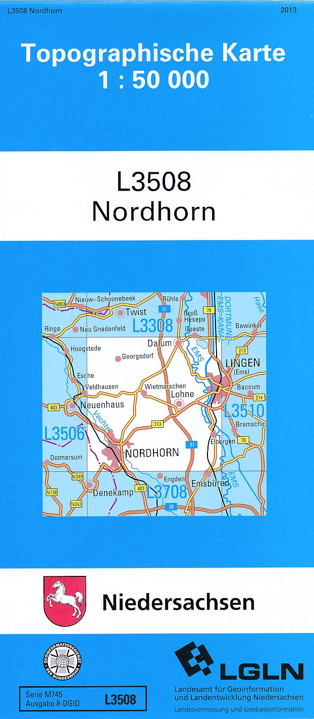
- Topografische kaart L3508 Nordhorn | LGL Niedersachsen
- Topografische kaart van een deelgebied van Niedersachsen. De kaart kent alle topografische details op een schaal van 1:50.000. Let op: het is een zuiver topografische kaart - zeer geschikt voor veldwerk e.d. - maar laat geen toeristische aspecten zien. Read more

De Zwerver
Netherlands
Netherlands
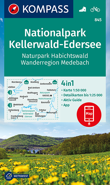
- Wandelkaart 845 Nationalpark Kellerwald-Edersee | Kompass
- Kellerwald National Park - Edersee - Habichtswald Nature Park – Medebach Hiking Region (No. 845), a detailed, GPS compatible map at 1:50,000 from Kompass with local and long-distance footpaths, cycling routes, accommodation, etc, printed on durable, waterproof and tear-resistant synthetic paper. KOMPASS HIKING & RECREATIONAL MAPS:This title is... Read more
- Also available from:
- Stanfords, United Kingdom

Stanfords
United Kingdom
United Kingdom
- NP Kellerwald-Edersee - Habichtswald NP - Medebach Hiking Region Kompass 845
- Kellerwald National Park - Edersee - Habichtswald Nature Park – Medebach Hiking Region (No. 845), a detailed, GPS compatible map at 1:50,000 from Kompass with local and long-distance footpaths, cycling routes, accommodation, etc, printed on durable, waterproof and tear-resistant synthetic paper. KOMPASS HIKING & RECREATIONAL MAPS:This title is... Read more

De Zwerver
Netherlands
Netherlands

De Zwerver
Netherlands
2011
Netherlands
2011
- Fietskaart NDS11 Bikeline Radkarte Osnabrücker Land | Esterbauer
- Bikeline Radkarte Deutschland Osnabrück und Umgebung 1 : 75 000 ab 6.9 EURO Bad Essen, Bad Iburg, Bramsche, Ibbenbüren, Oldenburger Münsterland Niedersachsen Bikeline Radkarte. 1. Auflage Read more
De Zwerver
Netherlands
2022
Netherlands
2022
De Zwerver
Netherlands
Netherlands
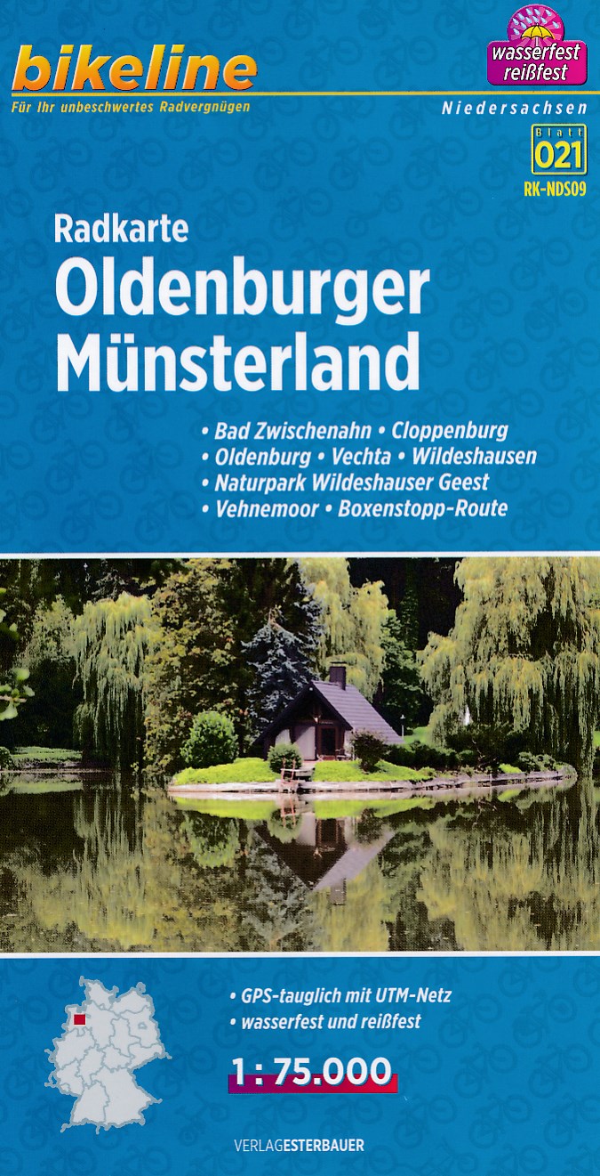
- Fietskaart NDS09 Bikeline Radkarte Oldenburger Munsterland | Esterbauer
- Bikeline Radkarte Oldenburger Münsterland 1 : 75.000 ab 6.9 EURO Bad Zwischenahn, Cloppenburg, Oldenburg, Vechta, Wildeshausen, Naturpark Wildeshauser Geest, Vehnemo Bikeline Radkarte Niedersachsen. 1., Auflage Read more