
Donausteig
Beschreibung
- Name Donausteig
- Länge von Wanderweg 450 km, 280 Meilen
- Länge in Tagen 24 Tage
- Anfang von Wanderweg Passau (D)
- Ende von Wanderweg Sankt Nikola (At)
- Traildino Schwierigkeit EW, Leichte Wanderung, Naturwanderweg


Donausteig, Passau (Germany) - Linz - Sankt Nikola (Austria), 450 km, 24 days
A trail along the river Donau, second largest European river? Yes, it's there. Earlier, we reported that the work was still going on. Since 2010, the trail is ready and officially opened.
The Donausteig alternatively follows both banks of the Donau. It is not congruent to the Donauradweg, so you won't get kicked off the trail by speedy bikers. Most of the trail is in Austria, but Germany has its share of it. In a sense, the Donausteig is a continuation of the German Goldsteig (starting in Marktredwitz). Facilities are good. So maybe the trail will get as popular as the Rheinsteig? We hope so. We guess that the trail will bring you nature ánd culture in big loads.
Select some tracks
☐Donauweg, 13km
Links
Fakten
Berichte
Führer und Karten
Übernachtung
Organisationen
Reisebüros
GPS
Sonstiges
Bücher
De Zwerver
Netherlands
2012
Netherlands
2012
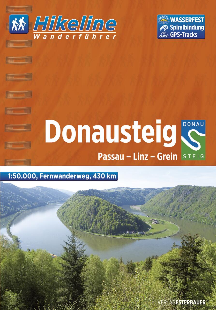
- Wandelgids Hikeline Donausteig | Esterbauer
- Handzame gids met een goede beschrijving van een meerdaagse tocht in dit gebied. De gids is in spiraalbinding en elke pagina is op scheur- en watervast papier gedrukt. Daar is echt over nagedacht! Der im Sommer 2010 neu eröffnete Donausteig startet im bayerisch-oberösterreichischen Grenzgebiet in der Drei-Flüsse-Stadt Passau und verläuft... Read more
De Zwerver
Netherlands
2015
Netherlands
2015
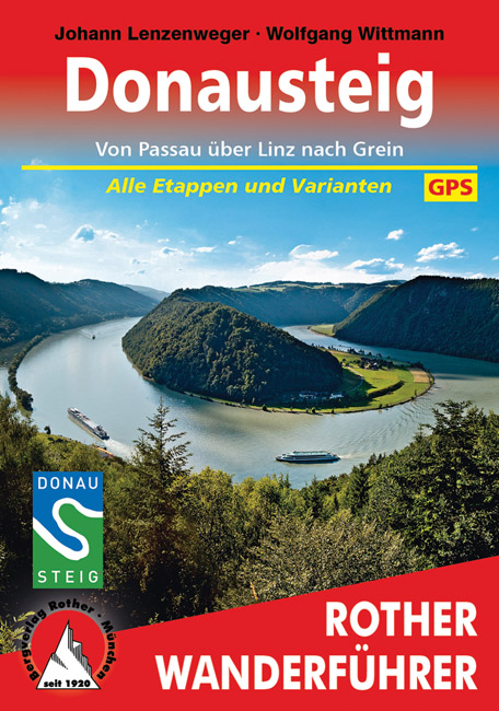
- Wandelgids Donausteig von Passau über Linz nach Grein | Rother Bergverlag
- Goede duidelijke beschrijving van deze meerdaagse wandeling van de Donausteig tussen Passau via Linz naar Grein. Voldoende info, zelfs kaartjes zijn behoorlijk goed en voldoende. Eine der schönsten Flusslandschaften Österreichs ist das Donautal, mit seinem Wechsel zwischen engen Durchbruchstälern und weiten Beckenlandschaften, mit... Read more
Karten

Stanfords
United Kingdom
United Kingdom
- Mostviertel - Strudengau - Donauland - Amstetten - Waidhofen a.d. Ybbs - Steyr F&B WK052
- Mostviertel - Strudengau - Donauland - Amstetten - Waidhofen a.d. Ybbs - Steyr area of eastern Austria presented at 1:50,000 in a series of contoured and GPS compatible outdoor leisure map from Freytag & Berndt with hiking and cycling routes, mountain huts, campsites and youth hostels, local bus stops, plus other tourist information.To see the... Read more