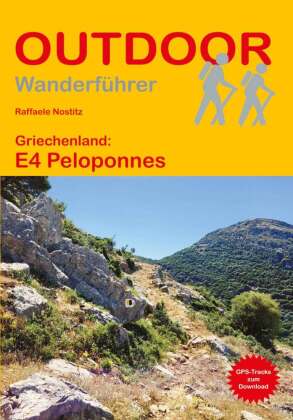
E4
Beschreibung
- Name E4 (E4)
- Länge von Wanderweg 10,450 km, 6,493 Meilen
- Länge in Tagen 520 Tage
- Anfang von Wanderweg Ceuta(Es)
- Ende von Wanderweg Larnaka (Cy)
- Traildino Schwierigkeit MW, Mittelschwere Wanderung mit Rucksack
- Schwierigkeitsgrad Berg- und Alpinwanderung T1, Wandern

Gibraltar – Pyrenees – Lake Constance – Balaton – Rila – Kreta - Cyprus
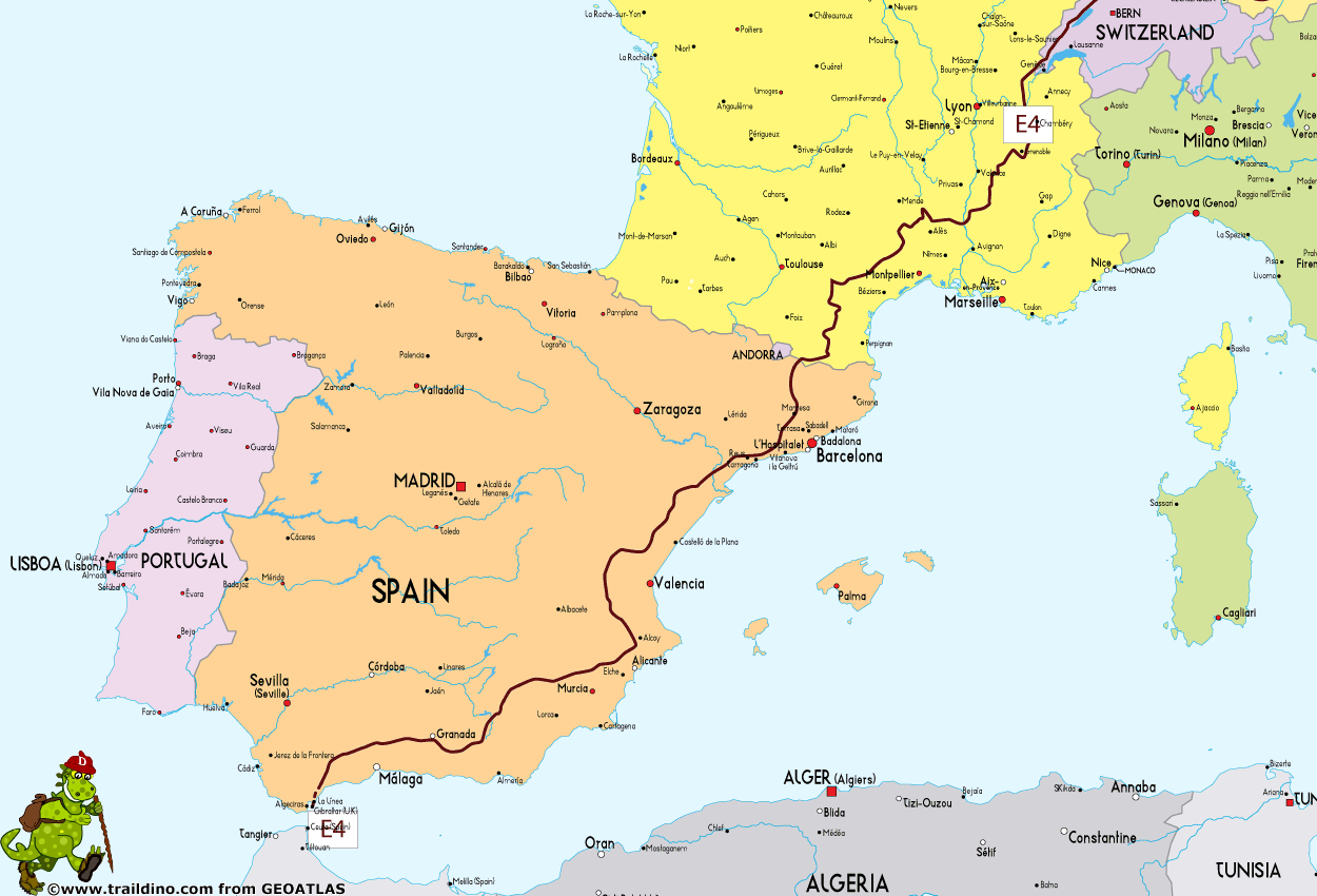
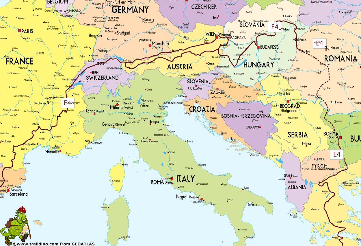
With 10.450 km (11.773 km including all detours and alternatives) the E4 is by far the longest European trail, although there is a substantial gap in construction in Romania/Bulgaria. The alternative through Serbia is ready waymarked. Starting off in the southern tip of Spain in Tarifa, it leads northeast, across the Pyrenees through France, Switzerland, Germany, Austria, Hungary, Serbia (alternative Romania under construction), Bulgaria and Greece. The Peloponnes part (260 km) has been renovated in 2012 and 2013. Several ferry rides lead across to the island of Crete and finally Cyprus.
After leaving Switzerland, the route offers a choice between the alpine route, for experienced mountain hikers only, and a less demanding subalpine alternative. They converge again before leaving Austria.
Spain (2.034 km)
- First village is Ceuta, enclave in Morocco
- Boat Ceuta - Tarifa
- GR7 Andorra - Tarifa, Ceuta / Tarifa - La Mussara, 1804 km
- Andalucía-Norte alternative, Villanieva del Cauche - La Puebla de Don Fadrique, 356 km
- GR172 Bellprat - Montserrat - La Mussara, Bellprat - Monastir de Montserrat, 50 km
- GR4 Puigcerdà - Montserrat, Monastir de Montserrat - Puigcerdà, 163 km
- Last village is Puigcerdà (border with France)
Books:
- MOLINA ABRIL, Antonio: GR 7. Senda granadina. Tramo Valle de Lecrín: Nigüelas-Albuñuelas, Ed. Proyecto Sur de Ediciones, 1998. ISBN: 84-8254-059-9, 112 págs.
- VVAA.:GR 7. Senda granadina. Tramo Almijara-Sierra Tejeda. Ed. Proyecto Sur de Ediciones SL, 1999
- CRUZ, Mariano, et AL: GR 7. Senda granadina. Tramo alpujarreño: Laroles- Lanjarón. Ed. Proyecto Sur de ediciones S.L, 1999. ISBN: 84-8254-930-8, 204 págs
- MOLINA SANCHEZ, David y SÁNCHEZ SÁNCHEZ, Antonio Joaquín: GR 7 ( E-4) Andalucía. Sendero Andaluz. Provincia de Cádiz. Ed. Federación Andaluza de Montañismo, Córdoba 2006
- VVAA.: GR 7 Provincia de Córdoba: Sierras Subbética. Ed. Federación Andaluza de Montañismo y Diputación Provincial de Córdoba, 72 págs
- VVAA: GR 7. Caminos del Campo de San Juan. Ed. Caja de Ahorros del Mediterráneo- Natursport, Murcia 2000
- TARRAGA, José et AL: GR 7 Murcia. Ed. Naturesport, 2009
- CUELLAR, E. : GR 7 (E-4). Fredes - Pinoso. Ed. Iniciativas Rurales Valenciana, Valencia 2002, 300 págs.
- Senders de Catalunya: GR 4, GR 5, GR 176, GR 179 and GR 241. Ed. Muntanya, S.L: Barcelona 2008
- AGUADE, Enric y EMBODAS, Jordi: GR 7, GR 171, GR 172, GR 174. Ed. FEEC, Barcelona 1998.ISBN: 84-920595-5-1
France (1.337 km)
- First village is Bourg Madame (border with Spain)
- GR36, Bourg Madame - Motagne Noire
- GR7, GR71, GR72, GR68 - Tour du Mont Lozère, Montagne Noire - Villefort
- GR44, GR4, GR42, GR429, Villefort - Vallée du Rhone
- GR9, BL Balcon du Léman, Vallée du Rhone - Saint-Cerque
- Last village is La Cure (border with Switzerland)
Books:
- Topoguides from FFRP
Switzerland (425 km)
- First village is Saint-Cerque (border with France)
- Jura Höhenweg, Saint-Cerque - Dielsdorf, 239 km
- Own track, Dielsdorf - Eglisau
- Via Rhenana, Joint track with E5 on south border of Bodensee, Eglisau - Kreuzlingen, 176 km
- Own track, Kreuzlingen - Rheineck
- Last village is Rheineck (border with Austria)
Books:
- Many books about Jura Höhenweg
Main Way, Northern Branch
This alternative traverses the Northern Limestone Alps in Germany and the Pre-Alpes in Austria.
Austria (35 km)
- First village is Rheineck (border with Switzerland)
- Bodensee Rundweg, Rheineck - Bregenz
- Bregenz – Lingenau, bus
- Maximiliansweg, Lingenau - Hittisau / Hölfele Alm
- Last village is Hittisau / Hölfele Alm (border with Germany)
Germany (472 km)
- First village is Staufner Haus am Hochgrat (border with Austria)
- Maximiliansweg, Staufner Haus – Bad Reichenhall
- Last village is Bad Reichenhall / Bayerisch Gmain (border with Austria)
Austria (729 km)
- First village is Großgmain (border with Germany)
- Voralpenweg, Weitwanderweg 04, Großgmain – Gersten
- Variant Wienerwald North, Gersten - Vienna / Kahlenberg
- Variant Wienerwald South, Gersten - Vienna / Kahlenberg
- Ostösterreichischer Grenzlandweg, Weitwanderweg 07, Vienna / Kahlenberg - Frauenkirchen - Mattersburg (Marzerkogel), 173 km
Continue with Main Way
Publication:
- Voralpiner Weitwanderweg 04, Wienerwald – Salzkammergut – Berchtesgaden – Bodensee. Überarbeitete Auflage 2011, 158 Seiten, Eigenverlag der OeAV-Sektion Weitwanderer. Erhältlich über die Sektionsadresse sowie bei Freytag & Berndt, www.freytagberndt.at
- Ostösterreichischer Grenzland-weg 07, Eigenverlag der OeAV-Sektion Weitwanderer, 2011, 131 Seiten, erhältlich über die Sektionsadresse und bei Freytag & Berndt, www.freytagberndt.at.
Maps, 1:50.000, Freytag & Berndt:
- WK 364 Bregenzerwald – Rheintal
- WK 104 Chiemgauer Alpen – Lofer – Leogang – Steinberge
- WK 391 Mattsee – Wallersee – Irrsee – Fuschl – Mondsee – Oberndorf
- WK 282 Attersee – Traunsee – Höllengebirge – Mondsee – Wolfgangsee
- WK 081 Pyhrn – Priel – Eisenwurzen – Grünau im Almtal – Steyrtal – Nationalpark Kalkalpen
- WK 051 Eisenwurzen – Steyr – Waidhofen an der Ybbs – Hochkar
- WK 031 Ötscherland – Mariazell – Erlauftal – Lunzer See – Scheibbs
- WK 012 Hohe Wand – Schneebergland – Gutensteiner Alpen – Piestingtal – Lilienfeld
- WK 013 Nationalpark Donauauen – Lobau – Hainburg – Marchegg – Gänserndorf
- WK 271 Neusiedler See – Leithagebirge – Rust – Seewinkel Nationalpark
- WK 023 Forchtenstein – Rosaliengebirge – Thermenregion – Bucklige Welt – Wiener Neustadt
Alpine Way, Southern Branch
This alternative traverses the entire Northern Limestone Alps in Austria and does not enter Germany.
Austria (1.030 km)
- First village is Dornbirn / Bregenz (border with Switzerland)
- Nordalpenweg, Weitwanderweg 01, Bregenz - Kufstein - Spital - Mattersburg (Marzerkogel), 1.030 km
- Continue with Main Way
Publication:
- Publications for the E4 alpin: »Nordalpiner Weitwanderweg 01«, Verlag Styria, 192 Seiten, ISBN 3-222-11798-5.
Maps, 1:50.000, Freytag & Berndt:
- WK 364 Bregenzerwald – Rheinthal
- WK 351 Lechtaler Alpen – Allgäuer Alpen
- 352 Ehrwald – Leermoos – Reutte – Tannheimer Tal
- 322 Wetterstein – Karwendel – Seefeld – Leutasch – Garmisch-Partenkirchen
- 321 Achensee – Rofan – Unterinntal
- 301 Kufstein – Kaisergebirge – Kitzbühel
- 104 Chiemgauer Alpen – Lofer – Leogang – Steinberge
- 103 Pongau – Hochkönig – Saalfelden
- 392 Tennengebirge – Lammertal – Osterhorngruppe
- 281 Dachstein – Ausseer Land – Filzmoos – Ramsau
- 081 Phyrn – Priel Eisenwurzen – Grünau – Steyrtal – Nationalpark Kalkalpen
- 063 Gesäuse – Ennstaler Alpen – Schoberpass
- 041 Hochschwab – Veitschalpe – Eisenerz – Bruck an der Mur
- 022 Semmering – Rax – Schneeberg – Schneealpe
- 023 Forchtenstein – Rosaliengebirge – Thermenregion – Bucklige Welt
Main Way
The Northern Branch and Southern Branch (Alpine Way) join in Mattersburg (Marzerkogel) and continue south to Rattersdorf.
Austria (60 km)
- Start in Mattersburg (Marzerkogel)
- Mattersburg (Marzerkogel) - Rattersdorf, 60 km
- Last village is Rattersdorf (border with Hungary)
Hungary (1.388 km)
- First village is Köszeg (border with Austria)
- National Blue Trail, Irottkoe Mountain, Köszeg - Sátoraljaújhely, 1.063 km
- Great Plain Blue Trail, Sátoraljaújhely – Nagykereki, 260 km
- Own track, Nagykereki – Ártánd, 6 km
- Last village in Hungary is Ártánd (border with Romania)
Eastern branch
Romania
- There were rumours that the first 150 km had been marked. However, as of 2013, this is not correct. We will have to wait, and hope this project will get started soon.
Bulgaria
Western branch
Hungary
- Continuing from Great Plain Blue Trail, Sátoraljaújhely – Nagykereki
- Great Plain Blue Trail / E7, Nagykereki - Mindszent
- E4 / E7 combined, Mindszent - Szeged
- Last village in Hungary is Szeged / Iala (border with Serbia)
Serbia (1.240 km, 1.482 including detours)
- First village is Krstur (border with Hungary)
- Iala (Hungary)/Krstur (Serbia) - Kanjiža – Senta - Kikinda– Arača – Novi Bečej – Melenci – Elemir - Zrenjanin- Carska bara – Kovačica - Farkaždin – Idvor – - Uzdin - Vladimirovac – Alibunar - Deliblatska peščara(devojački bunar) – Dolovo - Pančevo – Beograd – Kumodraž – Avala – Zuce – Leštane – Vinča – Ritopek – Brestovik –Smederevo Šalinac – Lipe – Radinac – Mihajlovac – Osipaonica – Požarevac Viminacijum (Kostolac) – Drmno - Ram – Zatonje – Veliko Gradište – Vinci – Usije – Golubac fortress – Kučevo – Ravništarka Brnjica – Dobra (Koznica) – Šomrda – Lepenski vir – Boljetinska reka (deviation: Požarevac – Toponica – Veliko selo – Crljenac – Vitovnica – Melnica – Ravništarka)- Štubej – Vukan – Gornjak – Krupajsko springhead – Beljanica – Žagubica – Milatovac – Selište – Kupinova glava – Jasikovo - Debeli lug – Majdanpek – Oman (loop: Boljetinska river – Lepenski vir – Pesača – Sokolovac – Kurmatura –Boljetin) – Liškovac – Mosna – Miroč – Veliki Štrbac – Golo brdo (Tabulum Traiani) – Kladovo -Brza Palanka - Vratna – Štubik –Plavna - Šarkamen – Negotin – Rajačke pimnice – Brusnik – Salaš - Sikole – Luka – Bor – Brestovačka spa – Zlot – Malinik – Boljevac – Mali Izvor – Rtanj (settlement) (deviation: Zlot – Šarbanovac Borski – Gamzigradska spa – Gamzigrad Rtanj settlment) - Šarbanovac Sokobanjski – Sokobanja - Devica – Beli potok – Tresibaba – Mučibaba – Kalna – Balta Berilovac – Crni vrh – Babun zub - Topli Do (Mrtvački most) - Zavojsko jezero – Basarski kamen – Visočka Ržana – Slavinja – Smilovci - Bačevo – Gradina - Kalotina (Bulgaria)
- Last village is Gradina , border with Bulgaria
The Serbian Mountain Organisation, Planinarski Savez Srbije, currently has information and maps available, but the trail is only partly finished (as of 2013). You will be one of the first.
Maps Serbia:
- Stari Begej – Carska Bara, 1:25.000, Geokarta, Belgrade, 2005
- Beograd, Turistička karta područja, 1:100.000, Geokarta, Belgrade, 2008.
- Stara planina, Nature Park, Mountain Touristic Map, 1:50.000, Geokarta, 2006.
- Djerdap National park, 1:70.000, 2 maps, Touristic Map, JP Nacionalni park Djerdap, Donji Milanovac, 2005.
- Avala, Mountain Touristic Map, 1:10.000, PSD „Avala“, belgrade, 2007.
Bulgaria (350 km starting from Sofia)
- First village is Kalotina (border with Serbia)
- Kalotina - Sofia, no trail
- Sofia (residential district “Dragalevsi”) - Vitosha mountain, Verila, Rila, Pirin, Slavyanka, Gotsev (mountain)
- Last village is Slavyanka near the state border to Greece.
Greece (1.832 km)
- First village is Kulata (border with Bulgaria)
- Kulata - Promochon - Florina, 308 km
- Florina - Litohoro - Kalambaka, 400 km
- Kalambaka - Karpenisse - Delphi - Itea, 480 km
- Egio - Tripoli - Sparta - Githeon, 324 km
- Boat to Crete
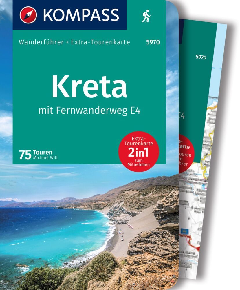
- Crete: Kastella - Zakros, 320 km
- Boat to CypruGuidebook in German: Griechenland: Trans- Kreta E 4. Outdoorhandbuch by Dagmar Wahlen and Rainer Lencer (Conrad Stein).
Guidebook:
- In German: Griechenland: Trans- Kreta E 4. Outdoorhandbuch by Dagmar Wahlen and Rainer Lencer (Conrad Stein).
Maps:
- 1:50,000 maps for sections over Olympos (Dion-Livadi), from Meteora to Karava and from Pitimaliko to Delphi published by Greek National Tourism Organisation
- 1:50,000 maps for section from Diakopto to Daras published by Greek National Tourism Organisation
Cyprus (539 km)
- Boat from Crete
- Pafos - Lanaka, 539 km
Books:
- Local E4 brochure
Karte
Links
Fakten
Berichte
Führer und Karten
Übernachtung
Organisationen
Reisebüros
GPS
Sonstiges
Bücher

Netherlands
2018
- Wandelgids Tourist route E4 in Bulgaria | Oilaripi
- Verrassend goede wandelgids van een deel van de E4 in Bulgarije. Goede kaarten, hoogteprofielen, prima beschrijvingen en praktische informatie maken het een volwaardige wandelgids die je in eerste instantie van dit gebied niet zou verwachten. Guidebook along the main ridge of the great alpine route E4 in Bulgaria, also known as �the fiv... Read more
Netherlands
- WF5421 Allgäu, Allgäuer Alpen Kompass
- De Kompass wandelgids + kaart geeft een overzicht van alle wandelroutes in het gebied met nauwkeurige routeaanwijzingen en hoogteaanduidingen, De extra grote kaart, schaal 1:35 000, is ideaal om van te voren uw route uit te stippelen en om onderweg te gebruiken • naast de bekende bestemmingen, worden ook de minder bekende vermeld • openbaar... Read more
- Also available from:
- Bol.com, Belgium

Belgium
- WF5421 Allgäu, Allgäuer Alpen Kompass
- De Kompass wandelgids + kaart geeft een overzicht van alle wandelroutes in het gebied met nauwkeurige routeaanwijzingen en hoogteaanduidingen, De extra grote kaart, schaal 1:35 000, is ideaal om van te voren uw route uit te stippelen en om onderweg te gebruiken • naast de bekende bestemmingen, worden ook de minder bekende vermeld • openbaar... Read more
Netherlands
2017
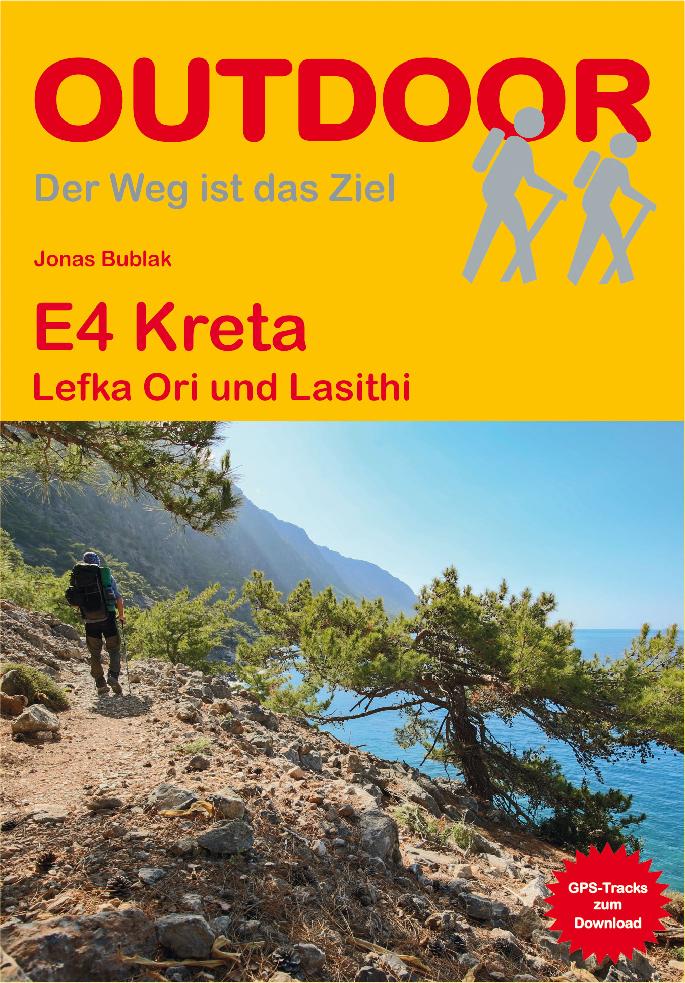
- Wandelgids E4 Kreta Lefka Ori und Lasithi | Conrad Stein Verlag
- OutdoorHandbuch. 3. Auflage. Read more
- Also available from:
- Bol.com, Netherlands
- Bol.com, Belgium
Netherlands
2017
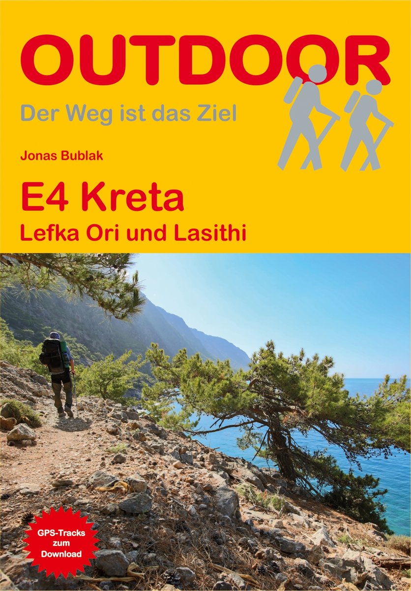
- Griechenland: Trans Kreta E4
- Kein Geheimtipp und dennoch etwas in Vergessenheit geraten ist das ber 500 km lange Teilst ck des europ ischen Fernwanderweges E4 auf Kreta. Bereits seit den 1970er-Jahren geh rt dieser Abschnitt zu einem der beliebtesten des l ngsten europ ischen Fernwanderweges und ist somit ein echter Trekkingklassiker.Wer gut markierte Pfade und verl... Read more

Belgium
2017
- Griechenland: Trans Kreta E4
- Kein Geheimtipp und dennoch etwas in Vergessenheit geraten ist das ber 500 km lange Teilst ck des europ ischen Fernwanderweges E4 auf Kreta. Bereits seit den 1970er-Jahren geh rt dieser Abschnitt zu einem der beliebtesten des l ngsten europ ischen Fernwanderweges und ist somit ein echter Trekkingklassiker.Wer gut markierte Pfade und verl... Read more

United Kingdom
2015
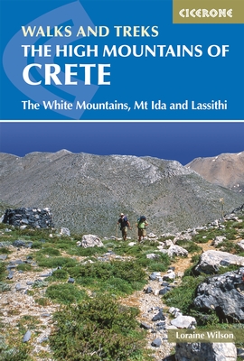
- The High Mountains of Crete
- The White Mountains, Psiloritis and Lassithi Mountains Read more
- Also available from:
- De Zwerver, Netherlands
- Stanfords, United Kingdom
- Bol.com, Netherlands
- Bol.com, Belgium
Netherlands
2015
- Wandelgids The high mountains of Crete - Kreta | Cicerone
- Guidebook of walking routes in Crete's mountains, covering the Lefka Ori (White Mountains), Mount Ida (the Psiloritis range), the Lassithi mountains and E4 trail. Each of the 87 walks is graded, in a range between 2 and 28km with various longer options, covering a multitude of terrains from rugged mountain ridges to forested crags and beaches. Read more

United Kingdom
2015
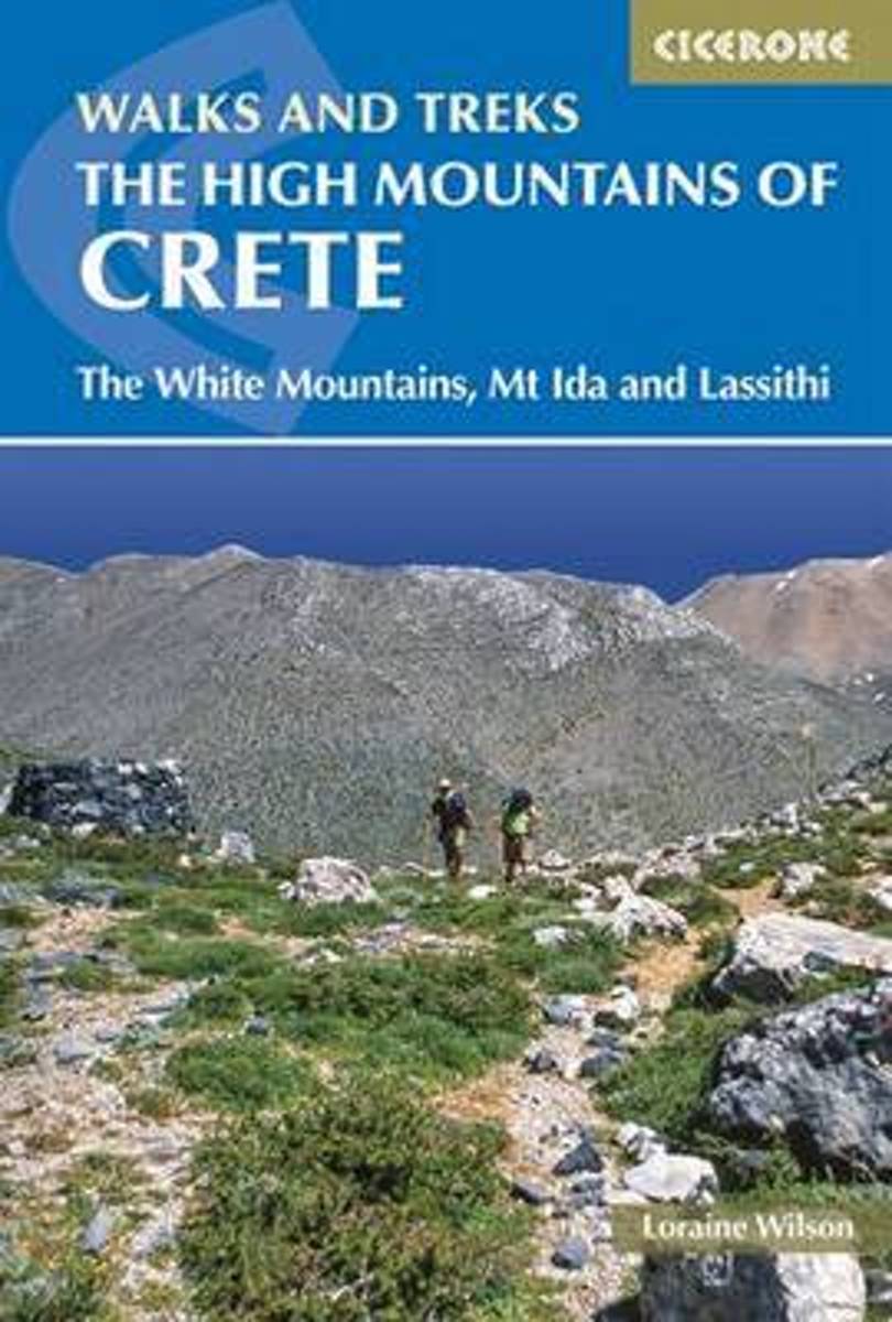
- Crete High Mountain Walks, the White Mountains, Mt Ida and Lassithi - 3rd ed.
- The High Mountains of Crete is Loraine Wilson’s authoritative Cicerone guide to the best walking routes in Crete’s mountainous regions. The guide covers walks in the well-known Samaria Gorge and the other dramatic gorges and numerous peaks rising to over 2100m, alongside high mountain plains, forested crags, massive cliffs and remote beaches.... Read more
Netherlands
2015
- The high mountains of Crete
- Guidebook to walking and trekking the high mountains of Crete. The largest of the Greek Islands, Crete's mountains provide breathtaking walking and wilderness on this popular island. The routes in this guidebook are graded for difficulty and range from short, easy strolls to challenging, multi-day treks, providing options for all walkers. In... Read more

Belgium
2015
- The high mountains of Crete
- Guidebook to walking and trekking the high mountains of Crete. The largest of the Greek Islands, Crete's mountains provide breathtaking walking and wilderness on this popular island. The routes in this guidebook are graded for difficulty and range from short, easy strolls to challenging, multi-day treks, providing options for all walkers. In... Read more
Karten

United Kingdom
- Samaria - Sougia
- Uitstekende topografische kaarten van een deel van Griekenland: zonder meer hele goede kaarten voor wandeltochten in een onbekend stuk Griekenland! Ze zijn gedrukt op scheurvast en watervast papier op een schaal van 1:25.000 met een UTM grid voor GPS gebruikers. Op de meeste kaarten is geven de hoogtelijnen een interval van 20m. aan. Met... Read more
- Also available from:
- De Zwerver, Netherlands
- Stanfords, United Kingdom
Netherlands
- Wandelkaart 11.13 Samaria - Soughia - Kreta | Anavasi
- Uitstekende topografische kaarten van een deel van Griekenland: zonder meer hele goede kaarten voor wandeltochten in een onbekend stuk Griekenland! Ze zijn gedrukt op scheurvast en watervast papier op een schaal van 1:25.000 met een UTM grid voor GPS gebruikers. Op de meeste kaarten is geven de hoogtelijnen een interval van 20m. aan. Met... Read more

United Kingdom
- Samaria - Sougia - Paliochora Anavasi 11.13
- Samaria – Sougia area of the White Mountains on Crete on a waterproof and tear-resistant, GPS compatible and contoured hiking map at 1:25,000 from Anavasi, extending from the famous Gorge of Samaria westwards to Azogyres and Plemeniana, and north past Omalos and the peaks of Troili and Kaimeni Kafala.Topography is shown by contour lines at 20m... Read more

United Kingdom
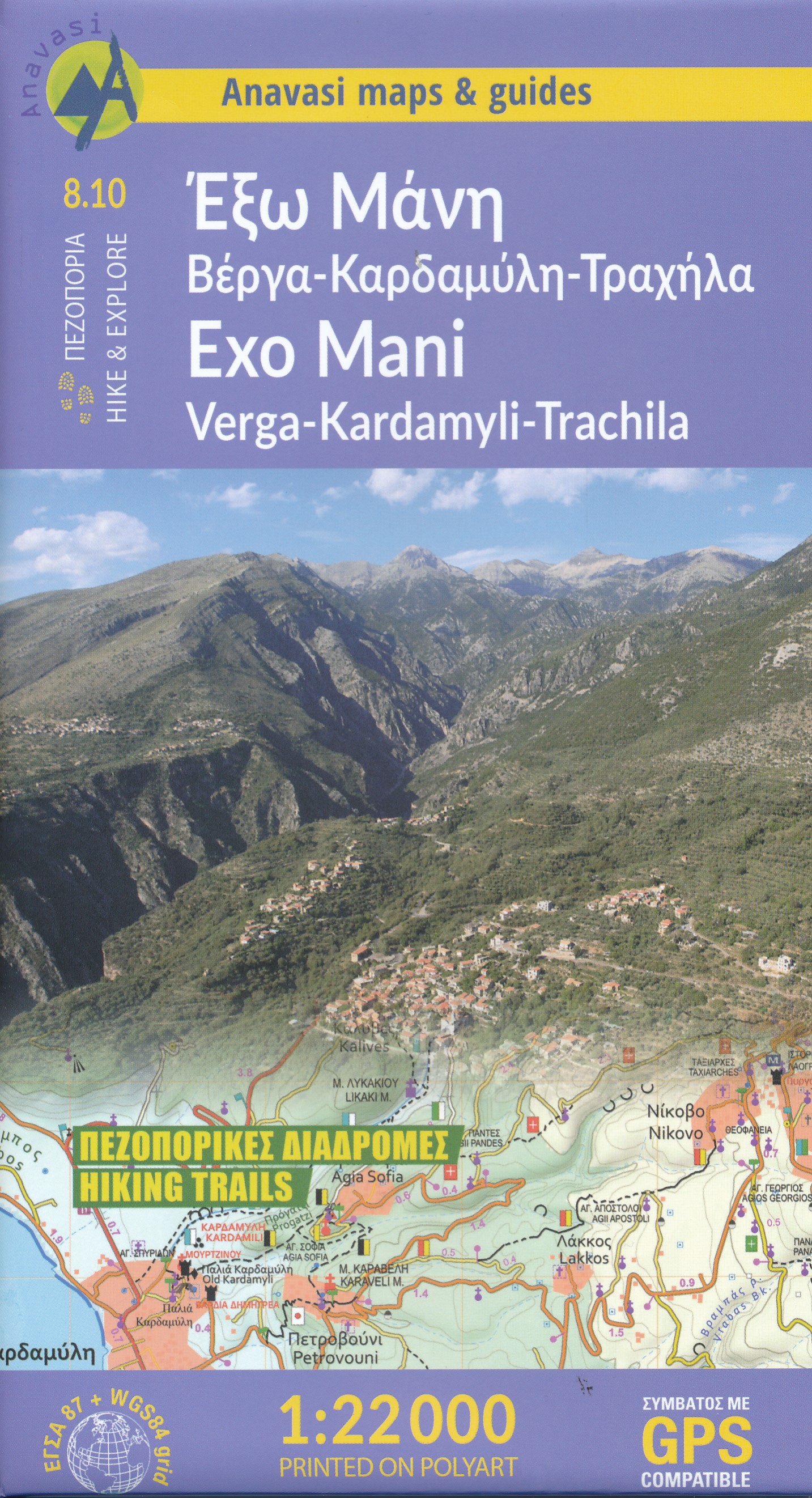
- Exo Mani 2018
- Uitstekende wandelkaart op scheur- en watervast papier van het wandelgebied rond Kardamyli maar ook nog met Agios Nikolaos. De wandelpaden staan er op ingetekend, zo ook alle bezienswaardigheden als klooster, kastelen en meerdere opgravingen. Mani is the middle and southernmost peninsula of the Peloponnese and is split between Laconia and... Read more
- Also available from:
- De Zwerver, Netherlands
- Stanfords, United Kingdom
Netherlands
- Wandelkaart 8.10 Exo Mani | Anavasi
- Uitstekende wandelkaart op scheur- en watervast papier van het wandelgebied rond Kardamyli maar ook nog met Agios Nikolaos. De wandelpaden staan er op ingetekend, zo ook alle bezienswaardigheden als klooster, kastelen en meerdere opgravingen. Mani is the middle and southernmost peninsula of the Peloponnese and is split between Laconia and... Read more

United Kingdom
- Exo Mani - Verga - Kardamyli - Trachila Anavasi 8.10
- The northern part of the western coast of the Mani Peninsula, the “middle finger” of the Peloponnese, on a light, waterproof and tear-resistant, double-sided, contoured and GPS-compatible map at 1:20,000 from Anavasi highlighting 24 hiking trails and various facilities and places of interest. Coverage, with a good overlap between the sides,... Read more

United Kingdom
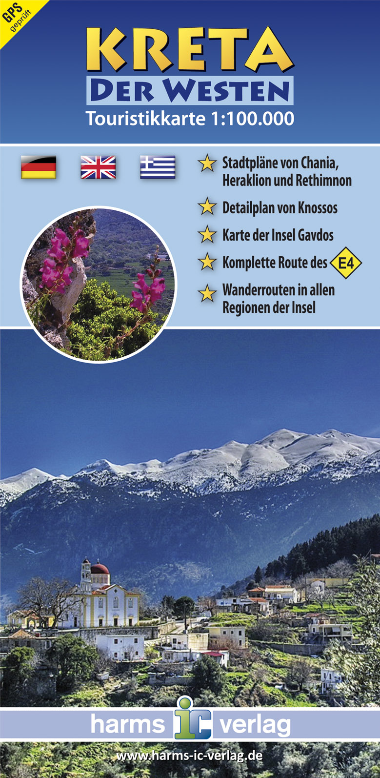
- Crete West
- Western Crete on a double-sided, contoured and GPS compatible map at 1:100,000 from Harms Verlag, with highlighting for numerous places of interest and 20 recommended hiking trails, plus street plans of central Heraklion, Rethymnon and Chania and a plan of the archaeological site at Knossos. All place names are in both Greek and Latin alphabet.... Read more
- Also available from:
- De Zwerver, Netherlands
Netherlands
- Wandelkaart Kreta west | Harms IC Verlag
- Western Crete on a double-sided, contoured and GPS compatible map at 1:100,000 from Harms Verlag, with highlighting for numerous places of interest and 20 recommended hiking trails, plus street plans of central Heraklion, Rethymnon and Chania and a plan of the archaeological site at Knossos. All place names are in both Greek and Latin alphabet.... Read more

United Kingdom
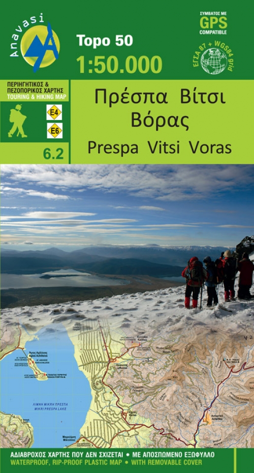
- Prespa - Vitsi - Voras
- Uitstekende topografische kaarten van een deel van Griekenland: zonder meer hele goede kaarten voor wandeltochten in een onbekend stuk Griekenland! Ze zijn gedrukt op scheurvast en watervast papier op een schaal van 1:50.000 met een UTM grid voor GPS gebruikers. Op de meeste kaarten is geven de hoogtelijnen een interval van 20m. aan. Met... Read more
- Also available from:
- De Zwerver, Netherlands
- Stanfords, United Kingdom
Netherlands
- Wandelkaart 6.2 Prespa - Vitsi - Voras | Anavasi
- Uitstekende topografische kaarten van een deel van Griekenland: zonder meer hele goede kaarten voor wandeltochten in een onbekend stuk Griekenland! Ze zijn gedrukt op scheurvast en watervast papier op een schaal van 1:50.000 met een UTM grid voor GPS gebruikers. Op de meeste kaarten is geven de hoogtelijnen een interval van 20m. aan. Met... Read more

United Kingdom
- Prespa - Vitsi - Voras Anavasi 6.2
- Prespa - Vitsi – Voras area of northern Greece at 1:50,000 on a light, waterproof and tear-resistant, GPS compatible, contoured map from Anavasi, with recommendations for three hiking trails and notes on the E4 and E6 cross-European trails. The map is double-sided; coverage in the west starts from the Prespa Lake on the border with Albania and... Read more

United Kingdom
- Fragokastelo - Plakias 2016
- Uitstekende topografische kaarten van een deel van Griekenland: zonder meer hele goede kaarten voor wandeltochten in een onbekend stuk Griekenland! Ze zijn gedrukt op scheurvast en watervast papier op een schaal van 1:25.000 met een UTM grid voor GPS gebruikers. Op de meeste kaarten is geven de hoogtelijnen een interval van 20m. aan. Met... Read more
- Also available from:
- De Zwerver, Netherlands
- Stanfords, United Kingdom
Netherlands
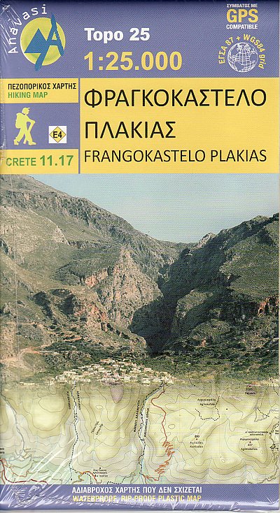
- Wandelkaart 11.17 Frangokastelo - Plakias - Kreta | Anavasi
- Uitstekende topografische kaarten van een deel van Griekenland: zonder meer hele goede kaarten voor wandeltochten in een onbekend stuk Griekenland! Ze zijn gedrukt op scheurvast en watervast papier op een schaal van 1:25.000 met een UTM grid voor GPS gebruikers. Op de meeste kaarten is geven de hoogtelijnen een interval van 20m. aan. Met... Read more

United Kingdom
- Frangokastelo - Plakias Anavasi 11.17
- The Frangokastelo – Plakias area on the southern coast of Crete at 1:25,000 in a series of contoured, GPS compatible hiking maps of Crete from Anavasi, printed waterproof and tear-resistant paper. Annotations provide useful hints for walkers. Coverage extends from Imbros Gorge in the west to Plakias in the east.Topography is shown by contour... Read more

Netherlands
2016
- Wandelgids The Cretan Way E4 | Anavasi
- The Cretan Way is a 500km walking route which takes you from east to west across the varied and spectacular landscapes of Crete. It is the ideal way to discover the rural, mountainous and costal regions of this incredible island. This guide is based on a 28-day walk.This guide includes practical information, maps at a scale of 1:25.000 of... Read more
- Also available from:
- Stanfords, United Kingdom

United Kingdom
2016
- The Cretan Way - A 28 Day Walk
- The Cretan Way is a 500km walking route which takes you from east to west across the varied and spectacular landscapes of Crete. It is the ideal way to discover the rural, mountainous and costal regions of this incredible island. This guide is based on a 28-day walk.This guide includes practical information, maps at a scale of 1:25.000 of... Read more
Netherlands
- Wandelkaart 2.1 Mt. Parnassos | Anavasi
- Parnassos - Kirfis area in a series of waterproof and tear-resistant hiking maps at scales varying from 1:50,000 to 1:10,000, with a UTM grid for GPS users. Contour interval varies depending on the scale, on most maps it is 20m. Relief shading, spot heights, springs, seasonal streams and, in most titles, landscape/land-use variations, e.g.... Read more
Netherlands
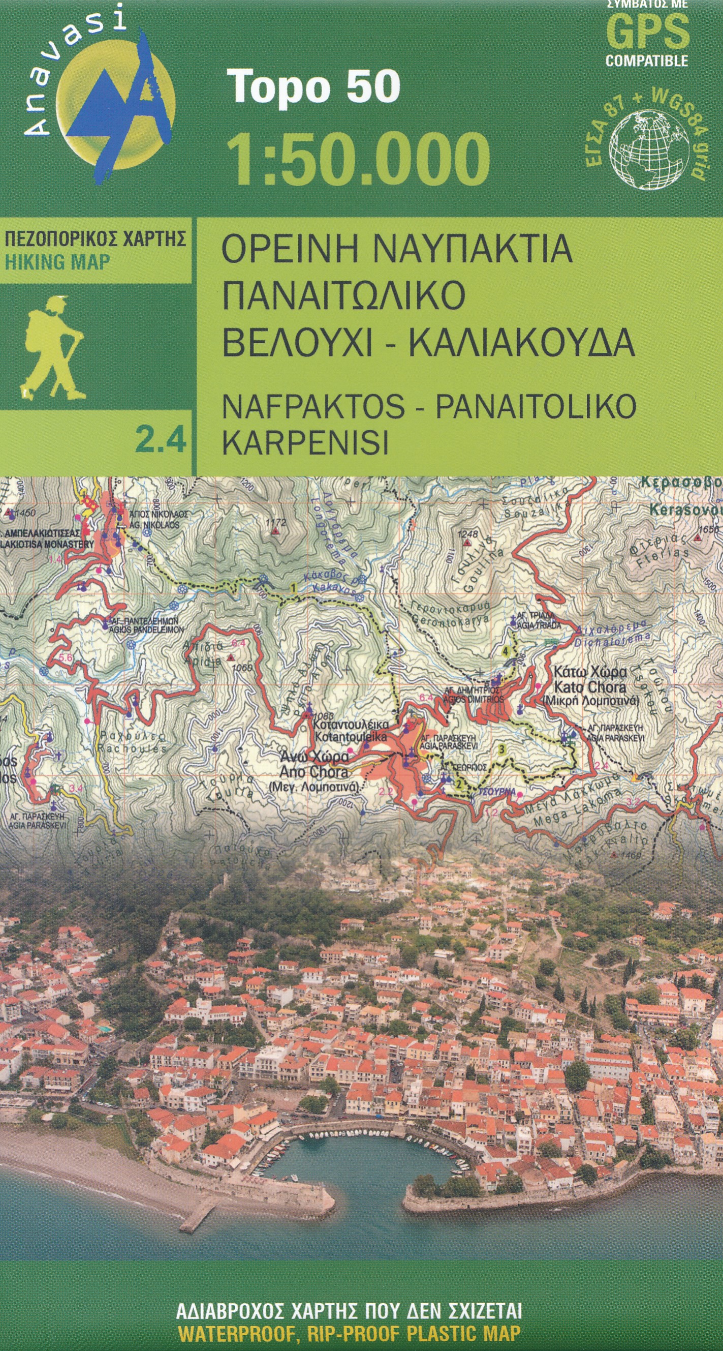
- Wandelkaart 2.4 Nafpaktos - Panaitoliko - Karpenisi | Anavasi
- Prespa - Vitsi – Voras area of northern Greece at 1:50,000 on a light, waterproof and tear-resistant, GPS compatible, contoured map from Anavasi, with recommendations for three hiking trails and notes on the E4 and E6 cross-European trails. The map is double-sided; coverage in the west starts from the Prespa Lake on the border with Albania and... Read more

Netherlands
- Wandelkaart 1 Stara Planina gebergte | Domino
- Stara Planina Central: Zlatitsa to Kalofer map at 1:50,000 from Bulgarian publishers Domino, contoured and GPS compatible, with hiking trails, accommodation options including a list of local mountain refuges, etc. The map is double-sided and covers the mountains from just west of Ribaritsa and Zlatitsa eastwards beyond Kalofer to the peak of... Read more
- Also available from:
- Stanfords, United Kingdom

United Kingdom
- Stara Planina Central: Zlatitsa to Kalofer Domino Map
- Stara Planina Central: Zlatitsa to Kalofer map at 1:50,000 from Bulgarian publishers Domino, contoured and GPS compatible, with hiking trails, accommodation options including a list of local mountain refuges, etc. The map is double-sided and covers the mountains from just west of Ribaritsa and Zlatitsa eastwards beyond Kalofer to the peak of... Read more

Netherlands
- Wandelkaart 5 Rila gebergte | Domino
- Rila Mountains at 1:50,000 on a large, double-sided, contoured map with GPS waypoints for shelters and chalets, peaks, etc. and highlighting hiking routes. Topography is shown by contours at 50m intervals with additional relief shading and graphics and colouring for scree, single rocks over 5m high, marshlands and pine scrub and forests. An... Read more
- Also available from:
- Stanfords, United Kingdom

United Kingdom
- Rila Mountains Domino
- Rila Mountains at 1:50,000 on a large, double-sided, contoured map with GPS waypoints for shelters and chalets, peaks, etc. and highlighting hiking routes. Topography is shown by contours at 50m intervals with additional relief shading and graphics and colouring for scree, single rocks over 5m high, marshlands and pine scrub and forests. An... Read more
Netherlands
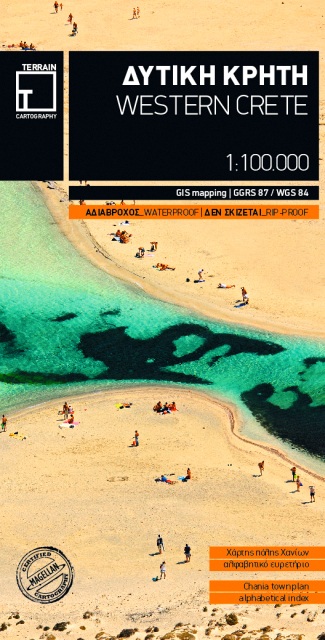
- Wandelkaart - Fietskaart - Wegenkaart - landkaart 448 Western Crete - Kreta West | Terrain maps
- Western Crete at 1:100,000 on an indexed, GPS compatible road map from Terrain Editions, printed on light, waterproof and tear-resistant plastic paper, with a street plan of central Chania.This title is part of a series which covers Crete in three sheets. The maps have contours at 100m intervals, enhanced by relief shading with spot heights and... Read more
- Also available from:
- Stanfords, United Kingdom

United Kingdom
- Western Crete Terrain Editions 448
- Western Crete at 1:100,000 on an indexed, GPS compatible road map from Terrain Editions, printed on light, waterproof and tear-resistant plastic paper, with a street plan of central Chania.This title is part of a series which covers Crete in three sheets. The maps have contours at 100m intervals, enhanced by relief shading with spot heights and... Read more

Netherlands
- Wandelkaart 2 Stara Planina gebergte | Domino
- Stara Planina Central: Uzana to Vratnik map at 1:50,000 from Bulgarian publishers Domino, contoured and GPS compatible, with hiking trails, accommodation options including a list of local mountain refuges, etc. The map is double-sided and covers the mountains from just west of the Uzana massif, the geographical centre of Bulgaria, eastwards to... Read more
- Also available from:
- Stanfords, United Kingdom

United Kingdom
- Stara Planina Central: Uzana to Vratnik Domino Map
- Stara Planina Central: Uzana to Vratnik map at 1:50,000 from Bulgarian publishers Domino, contoured and GPS compatible, with hiking trails, accommodation options including a list of local mountain refuges, etc. The map is double-sided and covers the mountains from just west of the Uzana massif, the geographical centre of Bulgaria, eastwards to... Read more

Netherlands
- Wandelkaart 6 Pirin gebergte | Domino
- Pirin Mountains at 1:50,000 on a large, double-sided, contoured map with GPS waypoints for shelters and chalets, peaks, etc. and highlighting hiking routes. Topography is shown by contours at 40m intervals with additional relief shading and graphics and colouring for sandstone stacks, single rocks over 5m high, marshlands and different types of... Read more
- Also available from:
- Stanfords, United Kingdom

United Kingdom
- Pirin Mountains Domino
- Pirin Mountains at 1:50,000 on a large, double-sided, contoured map with GPS waypoints for shelters and chalets, peaks, etc. and highlighting hiking routes. Topography is shown by contours at 40m intervals with additional relief shading and graphics and colouring for sandstone stacks, single rocks over 5m high, marshlands and different types of... Read more
Netherlands
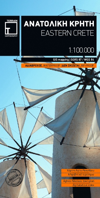
- Wandelkaart - Fietskaart - Wegenkaart - landkaart 450 Eastern Crete - Kreta Oost | Terrain maps
- Eastern Crete at 1:100,000 on an indexed, GPS compatible road map from Terrain Editions, printed on light, waterproof and tear-resistant plastic paper, with a street plan of central Aghios Nikolaos.This title is part of a series which covers Crete in three sheets. The maps have contours at 100m intervals, enhanced by relief shading with spot... Read more
- Also available from:
- Stanfords, United Kingdom

United Kingdom
- Eastern Crete Terrain Editions 450
- Eastern Crete at 1:100,000 on an indexed, GPS compatible road map from Terrain Editions, printed on light, waterproof and tear-resistant plastic paper, with a street plan of central Aghios Nikolaos.This title is part of a series which covers Crete in three sheets. The maps have contours at 100m intervals, enhanced by relief shading with spot... Read more

Netherlands
- Wandelkaart 3 Stara Planina gebergte | Domino
- Stara Planina Western: Belogradchik to Berkovita map at 1:50,000 from Bulgarian publishers Domino, contoured and GPS compatible, with hiking trails, accommodation options including a list of local mountain refuges, etc. The map is double-sided and covers the mountains from the peak of Byala Voda near Belogradchik eastwards to just beyond... Read more
- Also available from:
- Stanfords, United Kingdom

United Kingdom
- Stara Planina Western: Belogradchik to Berkovita Domino Map
- Stara Planina Western: Belogradchik to Berkovita map at 1:50,000 from Bulgarian publishers Domino, contoured and GPS compatible, with hiking trails, accommodation options including a list of local mountain refuges, etc. The map is double-sided and covers the mountains from the peak of Byala Voda near Belogradchik eastwards to just beyond... Read more


