GR56 - Hautes Fagnes - Eifel
Beschreibung
- Name GR56 - Hautes Fagnes - Eifel (GR56)
- Länge von Wanderweg 168 km, 104 Meilen
- Länge in Tagen 9 Tage
- Anfang von Wanderweg Sankt Vith
- Ende von Wanderweg Sankt Vith
- Traildino Schwierigkeit EW, Leichte Wanderung, Naturwanderweg


56
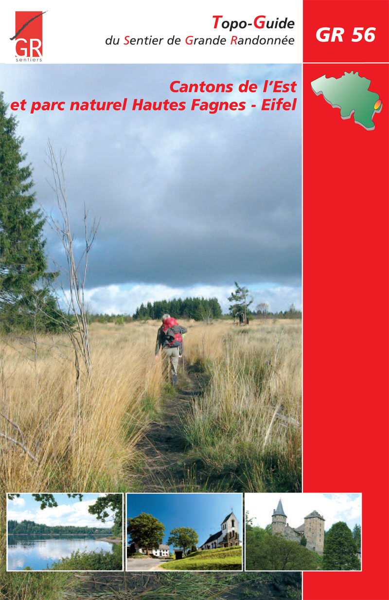
Hautes Fagnes - Eifel, 168 km (plus 84 km variants)
This trail makes a perfect round tour for a day or eight. The German part is not long and close to the border. The Haute Fagnes (High Moors, Hoge Venen) is a very desolate corner in Belgium. Best place to feel lonely.
Select some tracks
☐GR 56 Cantons de l'Est et parc naturel Hautes Fagnes - Eifel | Parcours principal, 170km
☐Former GR 56 (unmarked), 6.2km
☐GR 56 Var, 3.8km
☐Tour de l'Ubaye, 154km
☐GR 56 Dreiländereck B D NL nach B D LUX, 42km
☐GR 56 (Etappe St. Vith / Ligneuville) Cantons de l'Est et parc naturel Hautes Fagnes - Eifel, 19km
☐GR 56 (Etappe Amel / Losheimergraben) Cantons de l'Est et parc naturel Hautes Fagnes - Eifel, 22km
☐GR 56 (Etappe Burg Reuland / St. Vith) Cantons de l'Est et parc naturel Hautes Fagnes - Eifel, 15km
☐GR 56 (Etappe Schönberg / Burg Reuland) Cantons de l'Est et parc naturel Hautes Fagnes - Eifel, 21km
☐GR 56 (Etappe Losheimergraben / Schönberg) Cantons de l'Est et parc naturel Hautes Fagnes - Eifel, 21km
☐GR 56 Liaison Gare Hergenrath, 1.4km
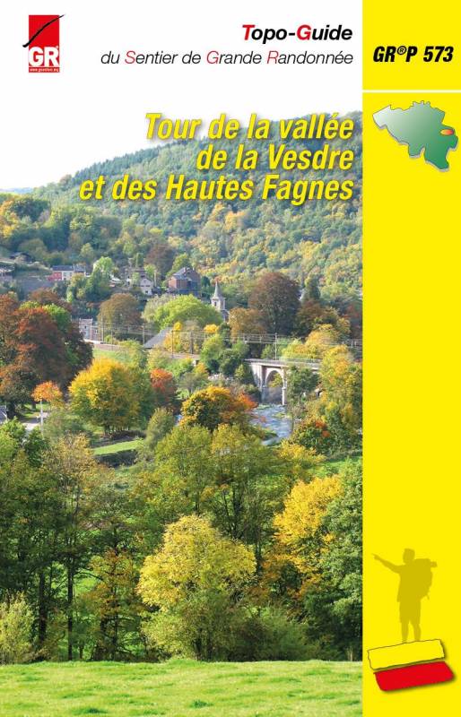
☐GRP 573 Liaison gare d'Angleur, 7.8km
☐GRP 573 Liaison via Verviers au GRP 563, 7.6km
☐GRP 573 Liaison gare d'Eupen, 1.7km
☐GRP 573 Liaison gare de Dolhain-Gileppe, 2km
☐GRP 573 Liaison gare de Trooz, 2.8km
☐GRP 573 Liaison gare de Fraipont, 0.3km
☐GRP 573 Liaison vers GRP 575 (Sprimont), 5.2km
☐GRP 573 Liaison GRP 573 - GR 5 - GRP 575 (Hautregard), 6.7km
☐GRP 573 - Tour de la vallée de la Vesdre et des Hautes Fagnes | Liaison GRP573 - GRP575 (Sprimont), 5.2km
☐GRP 573 Variante crue Herzogenhügel, 3.8km
☐GRP 573 Liaison gare de Pepinster, 8.4km
☐GRP 573 Variante Hoëgne, 28km
☐GR 56 Liaison Gare d'Eupen, 1.9km
☐GR 56 Hochwasservariante, 0.7km
Karte

Links
Fakten
Berichte
Führer und Karten
Übernachtung
Organisationen
Reisebüros
GPS
Sonstiges
Bücher
De Zwerver
Netherlands
2022
Netherlands
2022
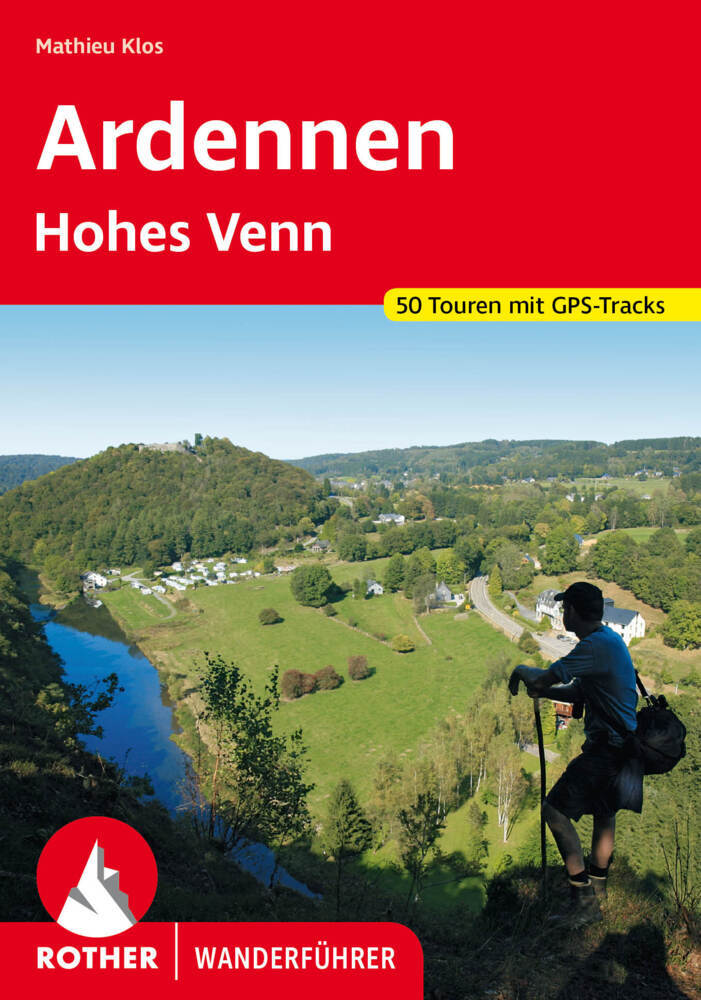
- Wandelgids Ardennen | Rother Bergverlag
- uitstalige wandelgids met zeer goed beschreven wandelingen in de genoemde gebieden. Redelijk kaartmateriaal, vooral de beschrijving van de route en de praktische info die er bij hoort is meer dan goed. Mit den Ardennen und und dem Hohen Venn verfügt Belgien über zwei Mittelgebirge, die noch nahezu unbekannt sind. Die letzten Hochmoore und... Read more
De Zwerver
Netherlands
2023
Netherlands
2023
De Zwerver
Netherlands
Netherlands
- Wandelkaart Monschau | Mini-Ardenne
- This new series of hiking / riding maps of regions in the Ardennes, Flanders and various regions in the countries around Belgium are characterized by a clear use of colour and ease of use. With miles of signed small and large loop-shaped walks. - relief and contour lines with an interval of 5 meters - multitude of interesting locations... Read more
- Also available from:
- Stanfords, United Kingdom

Stanfords
United Kingdom
United Kingdom
- Monschau Hike & Bike Map
- This new series of hiking / riding maps of regions in the Ardennes, Flanders and various regions in the countries around Belgium are characterized by a clear use of colour and ease of use. With miles of signed small and large loop-shaped walks. - relief and contour lines with an interval of 5 meters - multitude of interesting locations... Read more

Stanfords
United Kingdom
2019
United Kingdom
2019
- La Traversée des Alpes de la Maurienne a l`Ubaye GR5/GR56
- 9 days from Modane to Larche by the GR5, as much for the tour of Ubaye.Grande Traversée des Alpes: de la Maurienne a l`Ubaye, FFRP topoguide Ref. No. 531, covering the third stage of the GR5 in the French Alps from Modane to Larche, plus the Tour de l`Ubaye at its southern end, in all 272km for hiking routes. Current edition of this title was... Read more
Bol.com
Netherlands
2013
Netherlands
2013
- Rother Wandelgidsen - Ardennen Hoge Venen
- 50 uitgelezen wandelingen in de Belgische Ardennen en in de Hoge Venen, in het hoge moeras ten westen van de Eifel en langs de valleien van de Warche, de Ourthe, de Semois, de Lesse en de Maas.De Ardennen zijn met recht een populaire wandelbestemming: tot een hoogte van 700 meter verheft zich dit landschap, met hoogvenen, uitgestrekte bossen,... Read more
- Also available from:
- Bol.com, Belgium
Bol.com
Belgium
2013
Belgium
2013
- Rother Wandelgidsen - Ardennen Hoge Venen
- 50 uitgelezen wandelingen in de Belgische Ardennen en in de Hoge Venen, in het hoge moeras ten westen van de Eifel en langs de valleien van de Warche, de Ourthe, de Semois, de Lesse en de Maas.De Ardennen zijn met recht een populaire wandelbestemming: tot een hoogte van 700 meter verheft zich dit landschap, met hoogvenen, uitgestrekte bossen,... Read more
Karten
De Zwerver
Netherlands
Netherlands
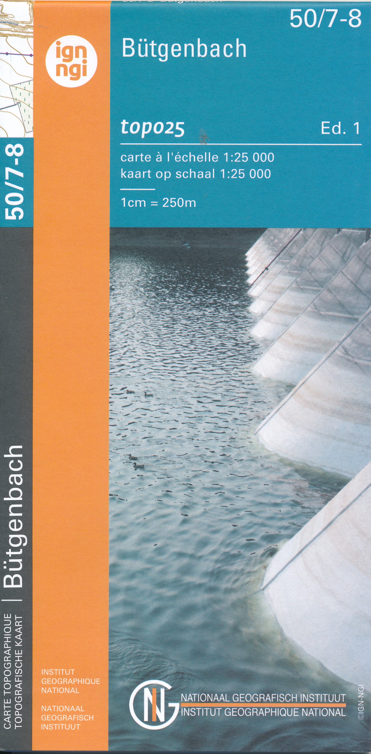
- Wandelkaart - Topografische kaart 50/7-8 Topo25 Bütgenbach - Büllingen,Bullange | NGI - Nationaal Geografisch Instituut
- Topographical survey of Belgium at 1:20,000 from Nationaal Geografisch Instituut / Institut Géographique National, the country’s national survey organization. Each 20K map covers one quarter of the corresponding 1:50,000 map (with adjustments in the border and coastal areas). The maps provide all the information expected of topographic mapping... Read more
- Also available from:
- Stanfords, United Kingdom

Stanfords
United Kingdom
United Kingdom
- Butgenbach NGI Topo 50/7-8
- Topographical survey of Belgium at 1:20,000 from Nationaal Geografisch Instituut / Institut Géographique National, the country’s national survey organization. Each 20K map covers one quarter of the corresponding 1:50,000 map (with adjustments in the border and coastal areas). The maps provide all the information expected of topographic mapping... Read more
De Zwerver
Netherlands
2023
Netherlands
2023
De Zwerver
Netherlands
Netherlands
De Zwerver
Netherlands
Netherlands
De Zwerver
Netherlands
Netherlands
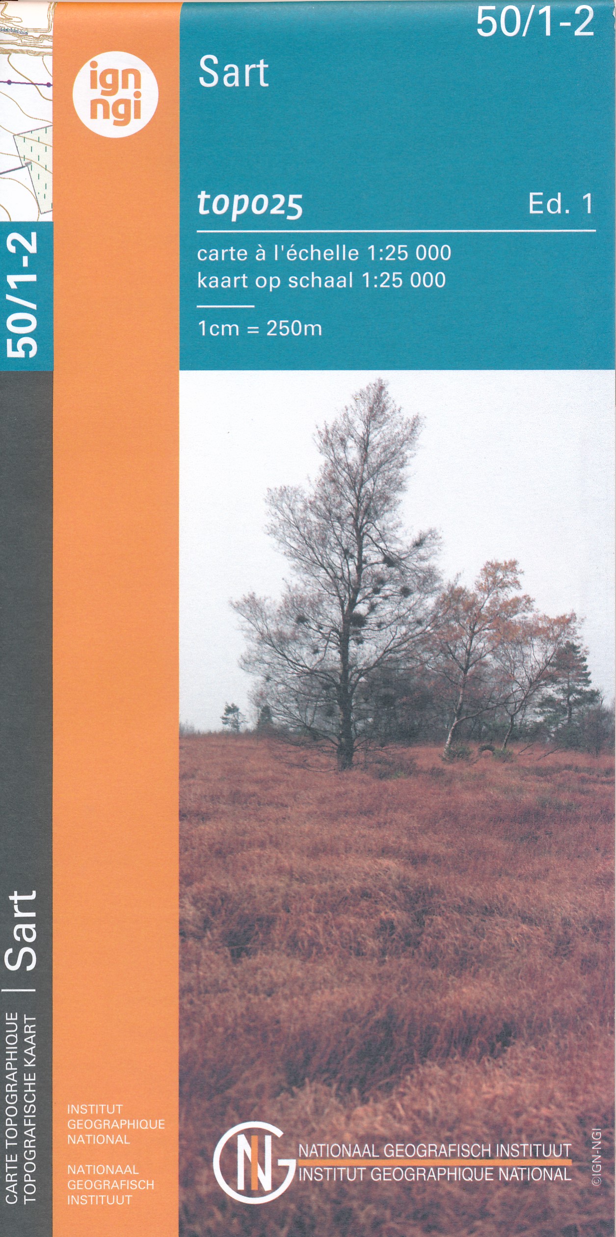
- Wandelkaart - Topografische kaart 50/1-2 Topo25 Sart | NGI - Nationaal Geografisch Instituut
- Topographical survey of Belgium at 1:20,000 from Nationaal Geografisch Instituut / Institut Géographique National, the country’s national survey organization. Each 20K map covers one quarter of the corresponding 1:50,000 map (with adjustments in the border and coastal areas). The maps provide all the information expected of topographic mapping... Read more
- Also available from:
- Stanfords, United Kingdom

Stanfords
United Kingdom
United Kingdom
- Sart NGI Topo 50/1-2
- Topographical survey of Belgium at 1:20,000 from Nationaal Geografisch Instituut / Institut Géographique National, the country’s national survey organization. Each 20K map covers one quarter of the corresponding 1:50,000 map (with adjustments in the border and coastal areas). The maps provide all the information expected of topographic mapping... Read more
De Zwerver
Netherlands
Netherlands
- Also available from:
- Stanfords, United Kingdom

Stanfords
United Kingdom
United Kingdom
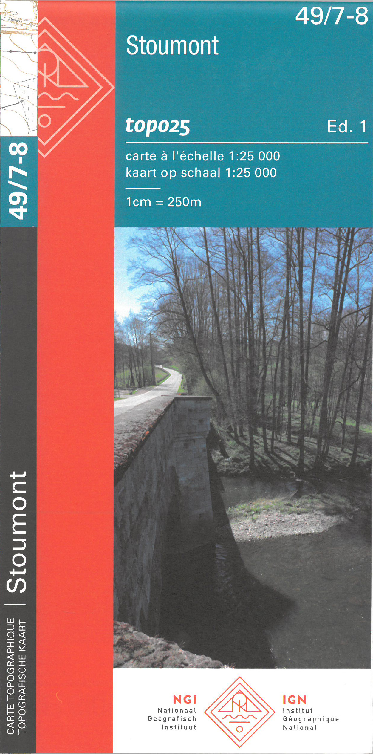
- Stoumont NGI Topo 49/7-8
- Topographical survey of Belgium at 1:20,000 from Nationaal Geografisch Instituut / Institut Géographique National, the country’s national survey organization. Each 20K map covers one quarter of the corresponding 1:50,000 map (with adjustments in the border and coastal areas). The maps provide all the information expected of topographic mapping... Read more
De Zwerver
Netherlands
Netherlands
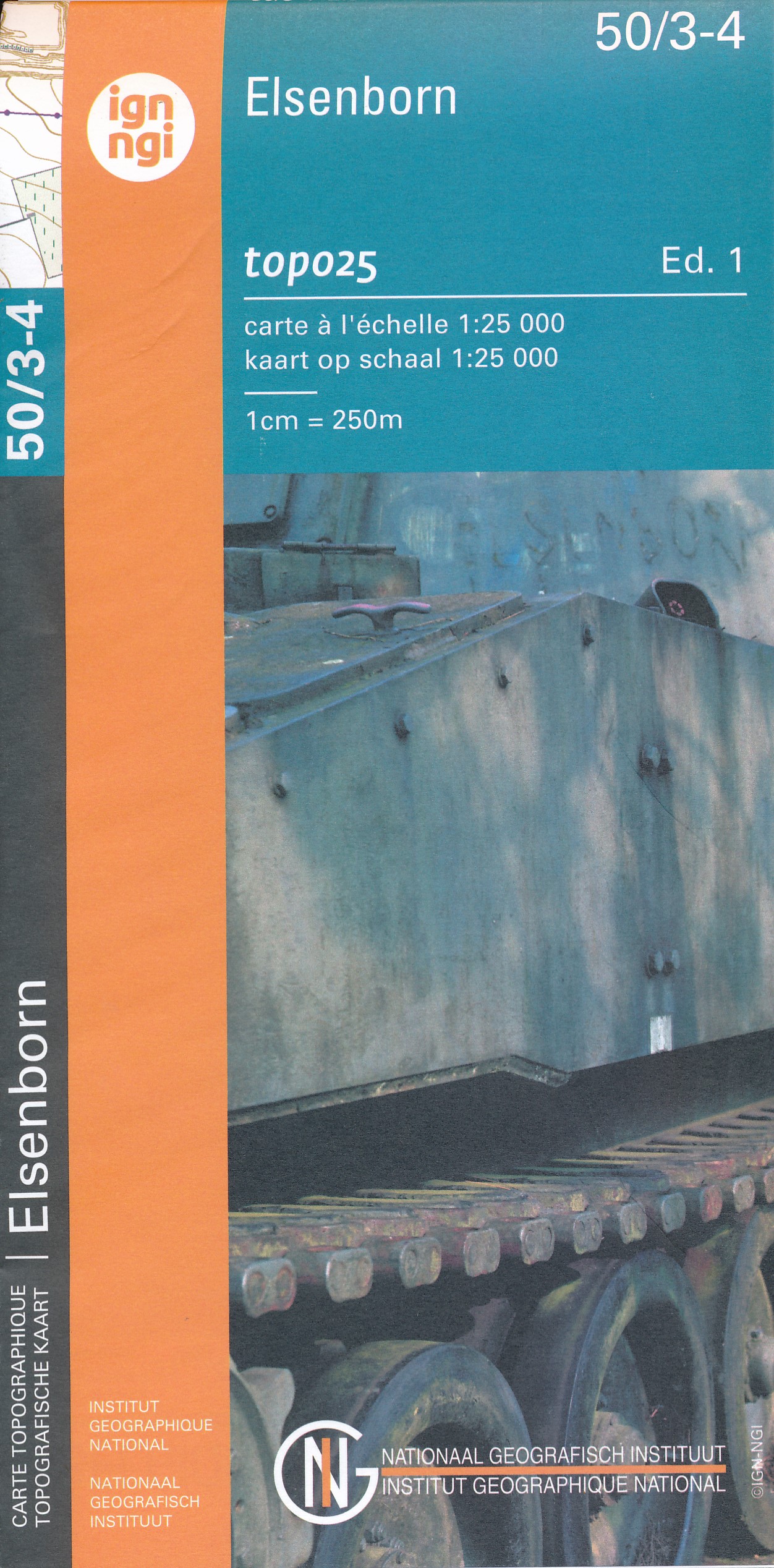
- Wandelkaart - Topografische kaart 50/3-4 Topo25 Elsenborn - Langert - Robertville | NGI - Nationaal Geografisch Instituut
- Topographical survey of Belgium at 1:20,000 from Nationaal Geografisch Instituut / Institut Géographique National, the country’s national survey organization. Each 20K map covers one quarter of the corresponding 1:50,000 map (with adjustments in the border and coastal areas). The maps provide all the information expected of topographic mapping... Read more
- Also available from:
- Stanfords, United Kingdom

Stanfords
United Kingdom
United Kingdom
- Elsenborn NGI Topo 50/3-4
- Topographical survey of Belgium at 1:20,000 from Nationaal Geografisch Instituut / Institut Géographique National, the country’s national survey organization. Each 20K map covers one quarter of the corresponding 1:50,000 map (with adjustments in the border and coastal areas). The maps provide all the information expected of topographic mapping... Read more
Weitere …