Texelpad
Beschreibung
- Name Texelpad (SP4)
- Länge von Wanderweg 80 km, 50 Meilen
- Länge in Tagen 4 Tage
- Anfang von Wanderweg Den Hoorn
- Ende von Wanderweg Den Hoorn
- Traildino Schwierigkeit LW, einfache Wanderung, ländlicher Spaziergang


Txp
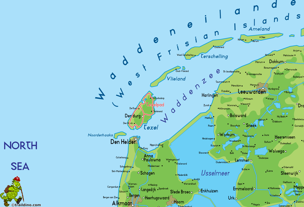
SP4, Texelpad: Around Texel Island, 80 km
Texel is the largest island of the Netherlands. You can only get there by ferry.
The island has a unique atmosphere. On the one hand, it feels a bit like the mainland: an open country with sheep and cows where the wind has free play.
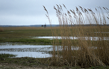
The sea is present everywhere, and you can enjoy it daily. On the island's northern side is the turbulent North Sea. On the other side is the quiet and bird rich Waddenzee.
The path – created by Stichting Wandelnet and marked yellow-red - frequents villages and nature reserves, and is therefore the best chance to get to know Texel. There are plenty of accommodation options, but in high season the island may be fully booked, and a tent will be welcome.
Select some tracks
☐Texelpad (oude route), 55km
☐WaddenWandelen - Texel - 01, 22km
☐WaddenWandelen - Texel - 02, 19km
☐WaddenWandelen - Texel - 03, 19km
☐WaddenWandelen - Texel - 04, 16km
☐WaddenWandelen - Texel - 05 - Variant dwarsover, 11km
☐WaddenWandelen - Texel - 06, 23km
☐WaddenWandelen - Texel - 07, 20km
☐Waddenwandelen - Vlieland - 01 - Veerhaven-Pad van Twintig, 21km
☐Waddenwandelen - Vlieland - 02, 14km
☐WaddenWandelen - Ameland - 01, 21km
☐WaddenWandelen - Ameland - 02, 18km
☐WaddenWandelen - Ameland - 03, 22km
☐WaddenWandelen - Schiermonnikoog - 01, 15km
☐WaddenWandelen - Schiermonnikoog - 02, 14km
☐WaddenWandelen - Schiermonnikoog - 03, 9km
☐Watteninsel Wanderweg Borkum 01, 15km
☐Watteninsel Wanderweg Borkum 02, 11km
Karte
Links
Fakten
Berichte
Führer und Karten
Übernachtung
Organisationen
Reisebüros
GPS
Sonstiges
Bücher

De Zwerver
Netherlands
2013
Netherlands
2013
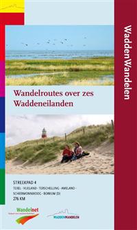
- Wandelgids S4 Streekpad Waddenwandelen - wandelroutes over zes waddeneilanden | Wandelnet
- Als vanouds prachtig uitgevoerd met duidelijke beschrijvingen en heel goede - topografische - kaarten. Op de kaarten staan restaurants, campings en bushaltes weergegeven. Een mooiere opvolger van het Texelpad is bijna niet denkbaar! Waddenwandelen is ruim 1200km wandelplezier aan weerszijde van werelderfgoed Waddenzee. Het Streekpad... Read more


