Portugal
Beschreibung

It wasn't until the late nineteen-nineties that Portugal started the construction and marking of hiking paths. Long distance hiking trails are still rare. The major Grande Rota (GR's) are in part no more than a promiss. Of European long distance hiking trail E7 (GR12), 80 km on the border with Spain are ready. The GR11, Camino de Santiago, by now runs from Lisbon to Santiago de Compostela. Most fully completed is the 540 km long GR22, Trail of the Old Towns. Problematic in Portugal are the often outdated maps and sometimes poor condition of paths and markings.
As a good alternative you can hike a range of shorter trails, which you will come across in all national parks and protected landscape areas. These walks last from several hours to a full day, and are marked in red and yellow. Names of these trails start with PR, Pequena Rota (= minor routes), signposts mark the trailheads, although some trails are circular. Try to buy maps and guides through the internet or in you own country in advance, because locally these are hard to come by.
Walking the shorter trails is an excellent way to explore Portugese nature. The first national park that deserves to be mentioned is Peneda-Gerês, a mountain area abounding in water, in the north of Portugal forming the border with Spain. Another good area for hiking is the Serra de Estrela, where you will find mainland Portugal's highest mountain Malhão de Estrela (1993m). Most hikers will be looking for walks in the Algarve, and on the vulcanic islands of Madeira, the Azores (with Mount Pico as the highest at 2351m) and Berlengas. These popular islands harbour bizarre plant and animal life, and offer numerous short marked trails.
Wanderwege
Regionen
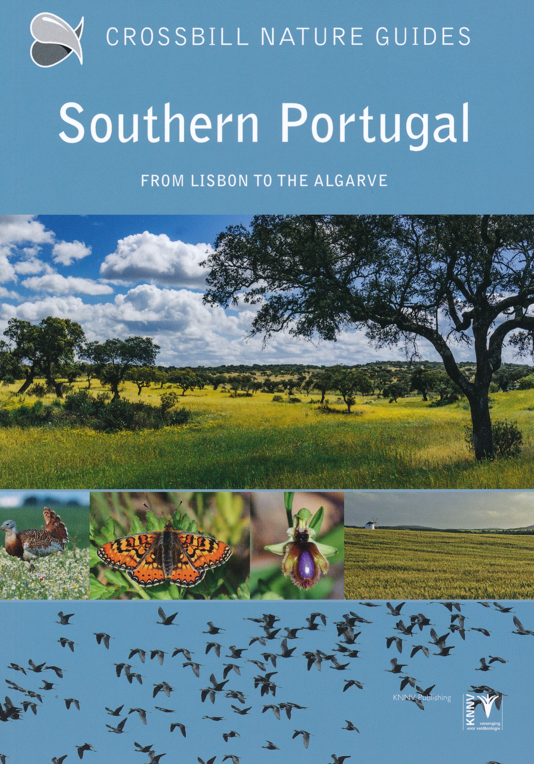
- Alentejo
- Algarve
- Alvão Natural Park
- Arrábida
- Azores
- Berlengas
- Corvo, Azores
- Costa Verde
- Doura
- Estremadura
- Faial, Azores
- Flores, Azores
- Graciosa, Azores
- Madeira
- Montesinho
- Peneda-Gerês
- Pico, Azores
- Porto Santo, Madeira
- Santa Maria, Azores
- São Jorge, Azores
- São Miguel, Azores
- Serra da Estrela
- Serra da Malcata
- Serras de Aires e Candeeiros
- Terceira, Azores
Links
Fakten
Berichte
Führer und Karten
Übernachtung
Organisationen
Reisebüros
GPS
Sonstiges
Bücher

United Kingdom
- A1 Traveler
- Portugal (Travel Guide) Planning A Trip To Portugal Read more

United Kingdom
2017
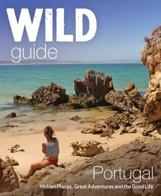
- The Wild Guide Portugal
- Hidden Places, Great Adventures and the Good Life Read more
- Also available from:
- De Zwerver, Netherlands
Netherlands
2017
- Reisgids Wild Guide Portugal | Wild Things Publishing
- Inspirerende gids voor mooie plekken en het goede leven in Portugal. Imagine a summer spent plunging into clear turquoise rivers, playing on hidden beaches, walking in wild flower-strewn cork forests, and tasting wine from boutique vineyards accompanied by the freshest seafood. In this explorer’s compendium you will discover the hidden... Read more
Netherlands
2012
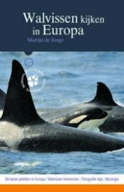
- Natuurgids - Opruiming Walvissen kijken in Europa | KNNV Uitgeverij
- Wat is er mooier dan vanaf een boot een groep dolfijnen te zien opduiken, of de ‘blow’ van een potvis te ontdekken? In Europa zijn verschillende plaatsen waar dat mogelijk is, van Noorwegen tot de Azoren en van Schotland tot de Italiaanse Noordkust. Walvissen kijken in Europa laat u kennismaken met de beste whalewatch-locaties en hun... Read more
Netherlands
2024
Netherlands
2019
Karten
Netherlands
2015
- Reisgids Porto | Gallimard
- Des guides courts séjours sur une ville ou une région qui se déplient et se déploient, alliant la carte au guide. Read more

Netherlands
2018
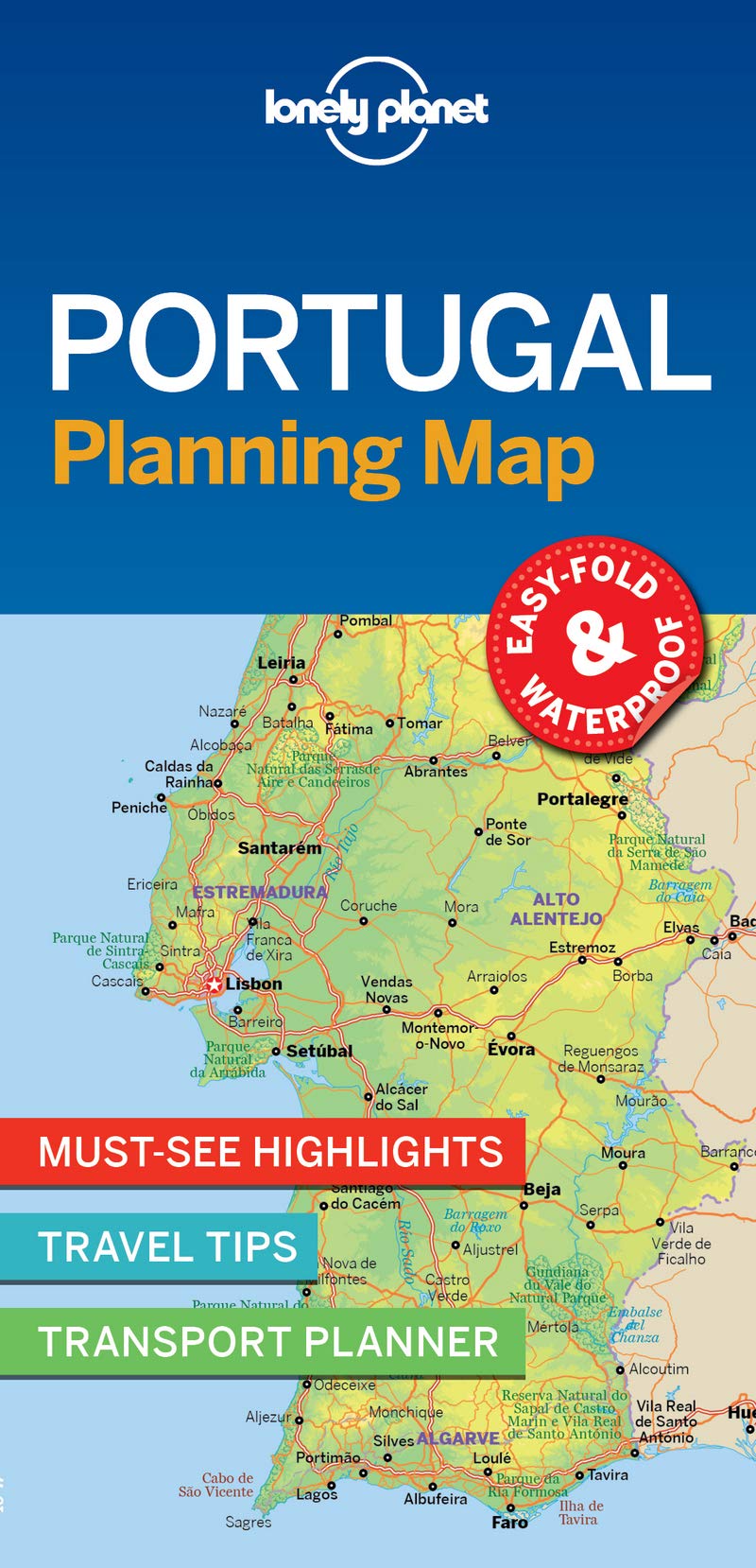
- Wegenkaart - landkaart Planning Map Portugal | Lonely Planet
- Portugal Planning Map ab 5.49 EURO Read more
Netherlands
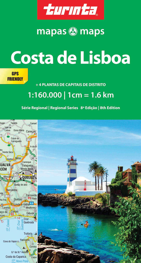
- Wegenkaart - landkaart 4 Costa de Lisboa | Turinta
- Lisbon Coast 1 : 160 000 ab 9.49 EURO Costa De Lisboa. Karte ohne Jahresangabe Read more
Netherlands
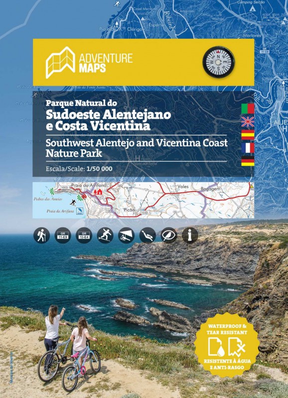
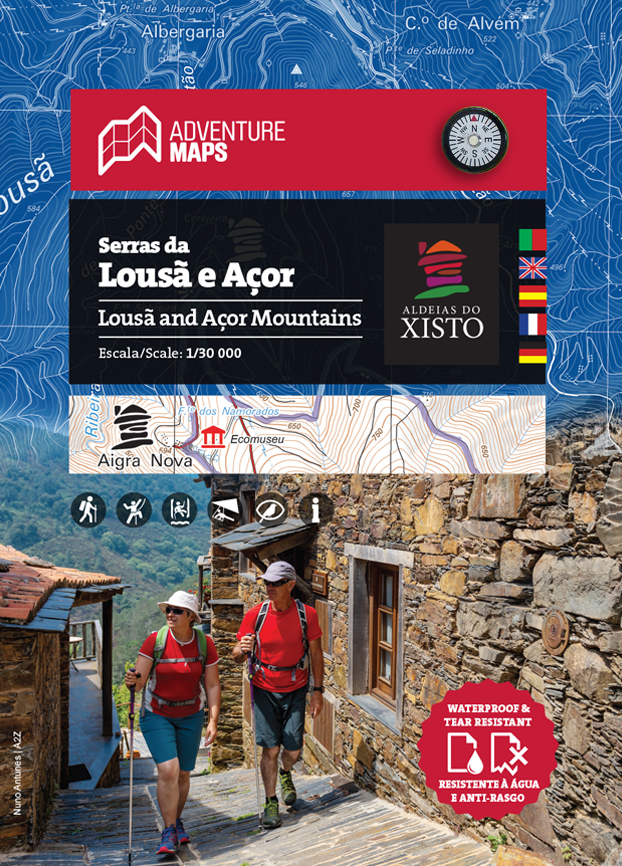
- Wandelkaart Serras da Lousa e Acor | Adventure MAPS
- This hiking and trekking map of the Lousâ and Açor Mountains by Adventure Maps is at a scale of 1:50,000. It is published in five languages (Portuguese, English, Spanish, French and German). It includes hiking trails and relevant tourist information on canyoning, climbing, monuments, waterfalls, among others. It is made of anti-tear and water... Read more
- Also available from:
- Stanfords, United Kingdom

United Kingdom
- Lousâ and Açor Mountains Adventure Map
- This hiking and trekking map of the Lousâ and Açor Mountains by Adventure Maps is at a scale of 1:50,000. It is published in five languages (Portuguese, English, Spanish, French and German). It includes hiking trails and relevant tourist information on canyoning, climbing, monuments, waterfalls, among others. It is made of anti-tear and water... Read more
Netherlands
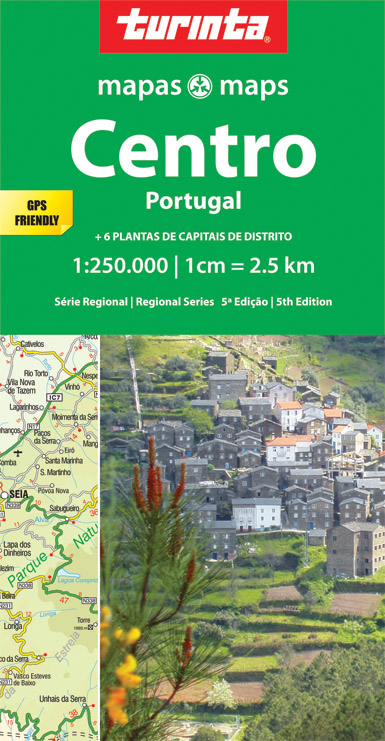
- Wegenkaart - landkaart 2 Centro Portugal - Beiras - Serra da Estrela | Turinta
- Portugal Central 1 : 250 000 ab 9.49 EURO Centro Portugal. new Edition Read more
Netherlands
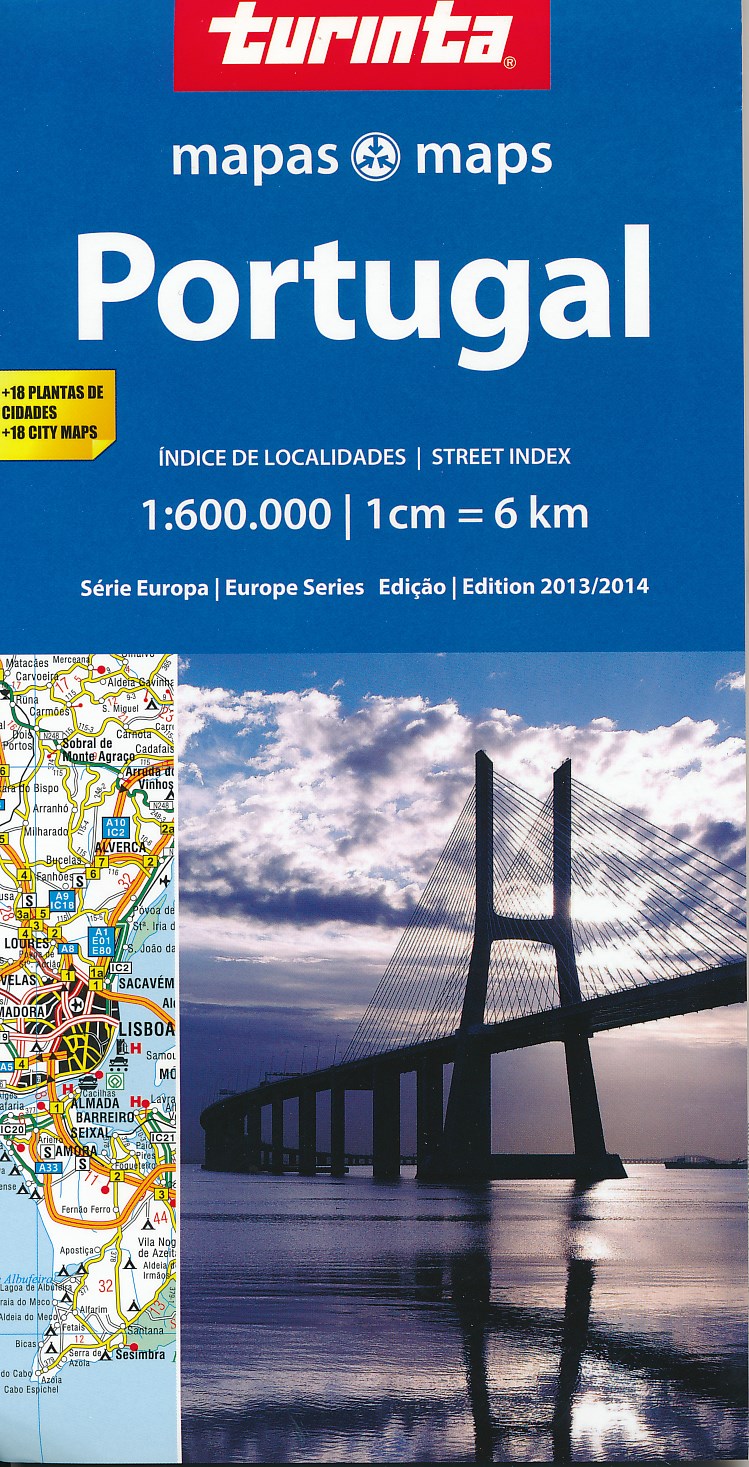
- Wegenkaart - landkaart Portugal | Turinta
- Portugal 1: 600 000 ab 9.49 EURO new edition Read more
Netherlands
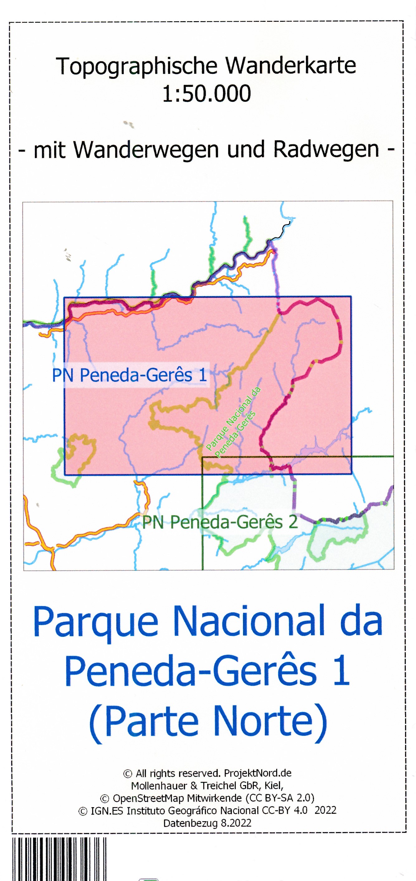
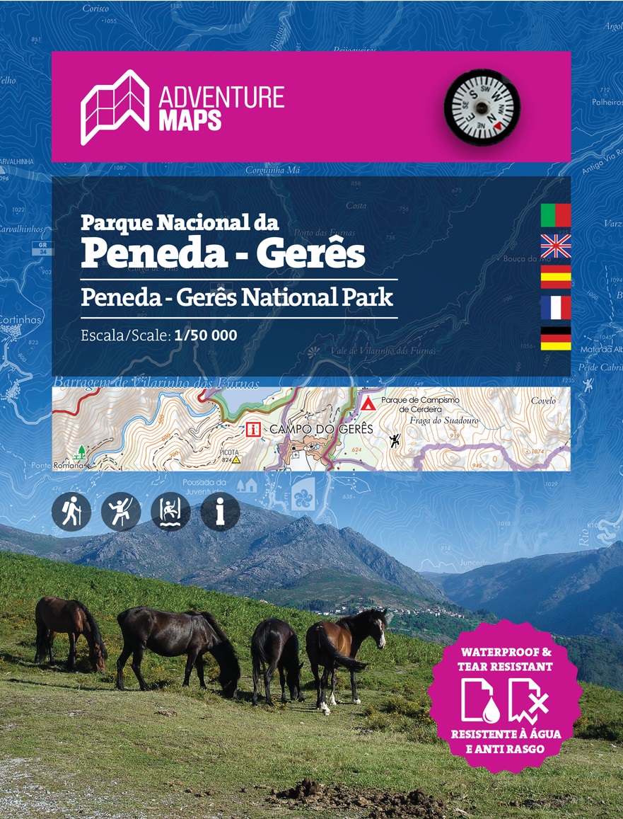
- Wandelkaart Parque Natural Peneda - Geres | Adventure MAPS
- This hiking and trekking map of the Natural Park of Peneda-Geres by Adventure Maps is at a scale of 1:50,000. It is published in five languages (Portuguese, English, Spanish, French and German). It includes hiking trails and relevant tourist information on canyoning, climbing, monuments, waterfalls, among others. It is made of anti-tear and... Read more
- Also available from:
- Stanfords, United Kingdom

United Kingdom
- Peneda-Geres National Park
- This hiking and trekking map of the Natural Park of Peneda-Geres by Adventure Maps is at a scale of 1:50,000. It is published in five languages (Portuguese, English, Spanish, French and German). It includes hiking trails and relevant tourist information on canyoning, climbing, monuments, waterfalls, among others. It is made of anti-tear and... Read more
Netherlands
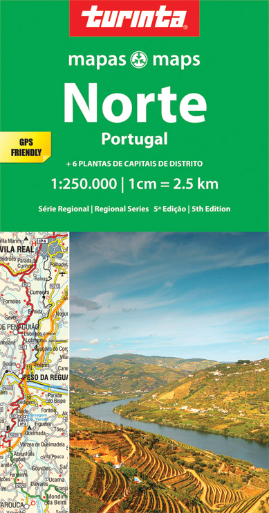
- Wegenkaart - landkaart 1 Norte de Portugal - Noord Portugal | Turinta
- Portugal North 1 : 250 000 ab 9.49 EURO Norte Portugal. 6th edition Read more