
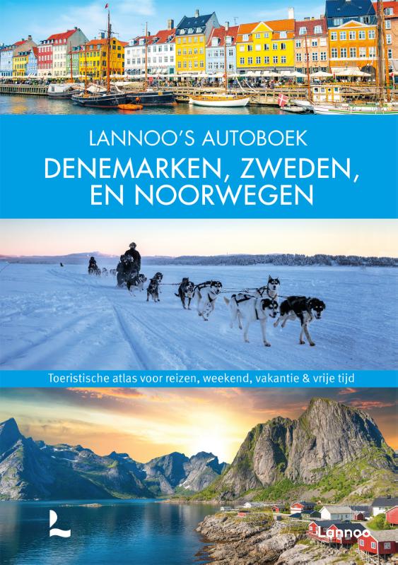
Schweden
Beschreibung

Sweden has thousands of kilometers of hiking trails. The majority leads through the low, often sparsely populated regions. The landscape certainly isn't all stereotype forests and lakes, but also many places of cultural historical interest, towns, villages and countryside.
Trails are well documented and marked, and often looked after by local communities. There are huts, mostly self-service, where you can warm up by a wood-burning stove, dry your clothes and stay overnight. Hundreds of youth hostels are spread about the country, as are many small campsites popular with hikers. Maps of long distance trails are available locally. Do not expect to meet up with hordes of other hikers, and bring enough food. Walking in these low regions is good from early spring until late autumn.
Swedish mountains are a different story altogether. This is rough country, so count on alpine circumstances, and plan your walk between halfway June and halfway September. Most famous is Kungsleden, a trail up north in Lapland. It has existed for almost one hundred years and leads you up Swedens highest mountaintops. More mountainous areas are to be found further south, along the border with Norway. The STF, Swedish Tourist Club, has mountain huts at regular intervals in all these regions.
If all this isn't challenging enough for you, try roaming freely through the Lapland wilderness, without trails or huts, for instance in Sarek National Park.
Wanderwege
- AnebyledenGPX
- ArnäsledenGPX
- Öreälvens Vandringsled
- ÖsterlenledenGPX
- ÖstgötaledenGPX
- ÄngenledenGPX
- Ås till åsledenGPX
- ÅsundenledenGPX
- Baltic Trail
- BauerledenGPX
- BergslagsledenGPX
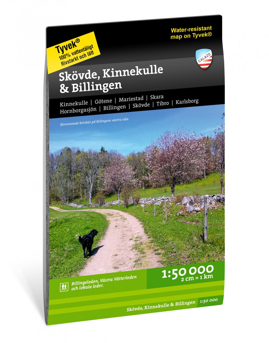
- BillingeledenGPX
- Blå ledenGPX
- Blekinge VildmarksledGPX
- BlekingeledenGPX
- BohusledenGPX
- Bonnaleder
- BruksledenGPX
- DackeledenGPX
- Domarvëgen
- E1GPX
- E6GPX
- Fäbodvandringar Ljusbodarna-Leksand
- FinnledenGPX
- FinnskogledenGPX
- FinnskogsledenGPX
- FinnvägenGPX
- FlottarstigenGPX
- Fryksdalen - Klarälvsdalen
- Funäsfjällen
- Gagnefs vandringsleder
- GästrikeledenGPX
- GislavedsledenGPX
- GlasbruksledenGPX
- GlaskogenGPX
- Grensesømmen
- HallandsledenGPX
- HälsingeledenGPX
- Höga KustenledenGPX
- HöglandsledenGPX
- HögsbyledenGPX
- HolavedsledenGPX
- IsälvsledenGPX
- Jämt-Norge-LedenGPX
- JämtlandsfjällenGPX
- JärnbärarledenGPX
- John BauerledenGPX
- KajvallsledenGPX
- KalmarsundsledenGPX
- KårböleledenGPX
- KinnekulleledenGPX
- Kittelfjall-Borgafjall
- KnalleledenGPX
- KolarstigenGPX
- KungsledenGPX
- Lögdeälvens Vildmarksled
- LönnebergaledenGPX
- Ljugarns Vandringsleder
- Ljungdalsfjällen
- LjusnanledenGPX
- Malingsbo-KlotenrundanGPX
- MönsteråsledenGPX
- MörbylångaledenGPX
- MittnordenledenGPX
- MuddusledenGPX
- MunkastigenGPX
- Njudungsleden
- NordkalottledenGPX
- NordlandsrutaGPX
- North Sea TrailGPX
- Nynäsleden
- OstkustledenGPX
- PadjelantaledenGPX
- Pilgrimsled st OlofGPX
- PilgrimsledenGPX
- RallarstigenGPX
- Rallarvägen
- RedvägsledenGPX
- RomboledenGPX
- RoslagsledenGPX
- RuijaledenGPX
- Santiago de Compostela Pilgrims WayGPX
- Sävsjöleden
- Södra VätterledenGPX
- SörmlandsledenGPX
- SevedeledenGPX
- SigfridsledenGPX
- SiljansledenGPX
- SilverledenGPX
- SjuhäradsledenGPX
- SjuvallsledenGPX
- SkaneledenGPX
- SkåneledenGPX
- Skåneleden kust till kustGPX
- Skåneleden nord till syd
- Skånleden
- Skånvagen
- SméledenGPX
- StorspåretGPX
- SvågaledenGPX
- TavelsjöledenGPX
- TjustledenGPX
- TorsåsledenGPX
- UpplandsledenGPX
- UtvandrarledenGPX
- VasaloppsledenGPX
- Värmlandsleden
- Västra Vätternleden
- Verkeån vandringsled
- VildmarksledenGPX
- Vildmarksleden Falun
- Vildmarksleden SmålandGPX
Regionen
Landesteile
Links
Fakten
Berichte
Führer und Karten
Übernachtung
Organisationen
Reisebüros
GPS
Sonstiges
Bücher


Netherlands
2020
- Reisgids Eyewitness Travel Sweden - Zweden | Dorling Kindersley
- Your journey starts here. Featuring DK`s much-loved maps and illustrations, walks and information, plus all new, full-colour photography, this 100% updated guide to Sweden brings you the best of this spectacular country in a brand-new, lightweight format.What`s inside?- full-colour photography, hand-drawn illustrations, and maps throughout-... Read more
Netherlands

Karten
Netherlands
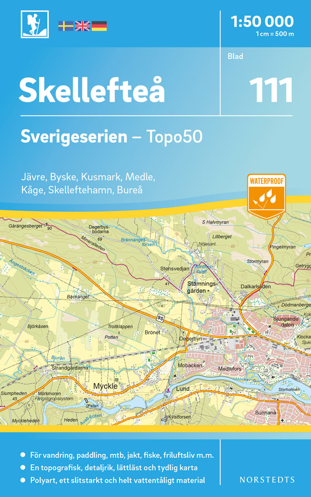
- Wandelkaart - Topografische kaart 111 Sverigeserien Skellefteå | Norstedts
- Sverigeserien is an outdoor map series consisting of 116 sheets with coverage of southern and central Sweden and the northern coastline. The map is suitable for outdoor activities such as hiking, excursions, trail running, hunting, fishing, riding, cycling, mountain biking, paddling, skating and much more. Every sheet covers an area of... Read more
Netherlands
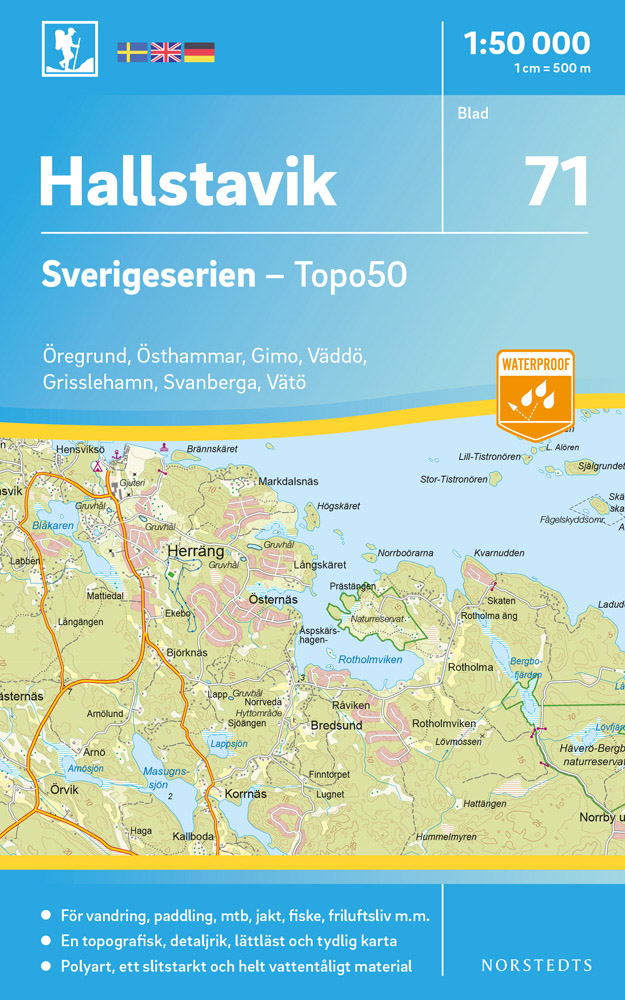
- Wandelkaart - Topografische kaart 71 Sverigeserien Hallstavik | Norstedts
- Sverigeserien is an outdoor map series consisting of 116 sheets with coverage of southern and central Sweden and the northern coastline. The map is suitable for outdoor activities such as hiking, excursions, trail running, hunting, fishing, riding, cycling, mountain biking, paddling, skating and much more. Every sheet covers an area of... Read more
Netherlands
Netherlands
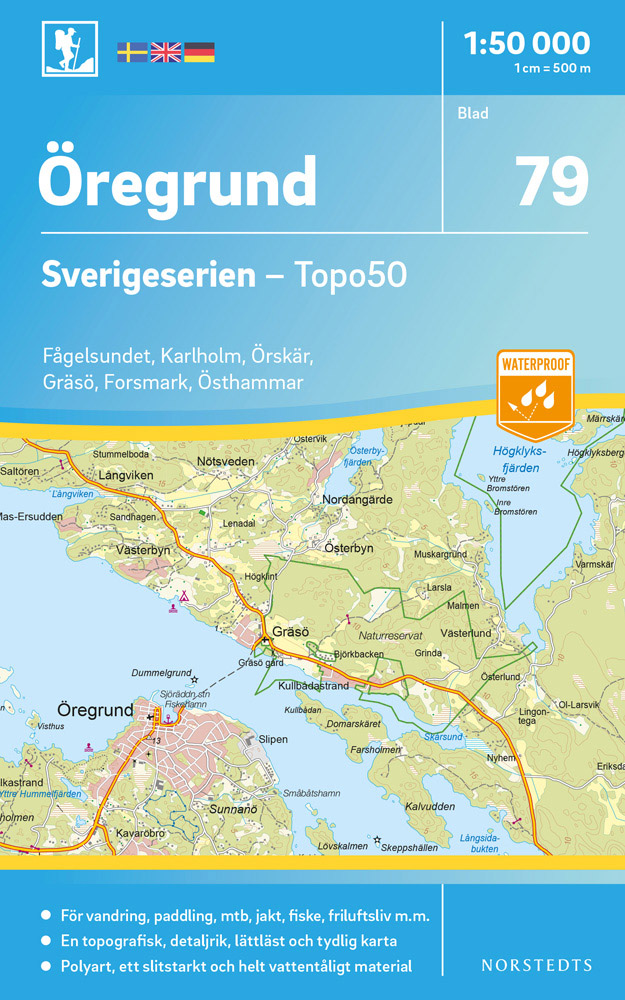
- Wandelkaart - Topografische kaart 79 Sverigeserien Öregrund | Norstedts
- Sverigeserien is an outdoor map series consisting of 116 sheets with coverage of southern and central Sweden and the northern coastline. The map is suitable for outdoor activities such as hiking, excursions, trail running, hunting, fishing, riding, cycling, mountain biking, paddling, skating and much more. Every sheet covers an area of... Read more
Netherlands
2022
Netherlands
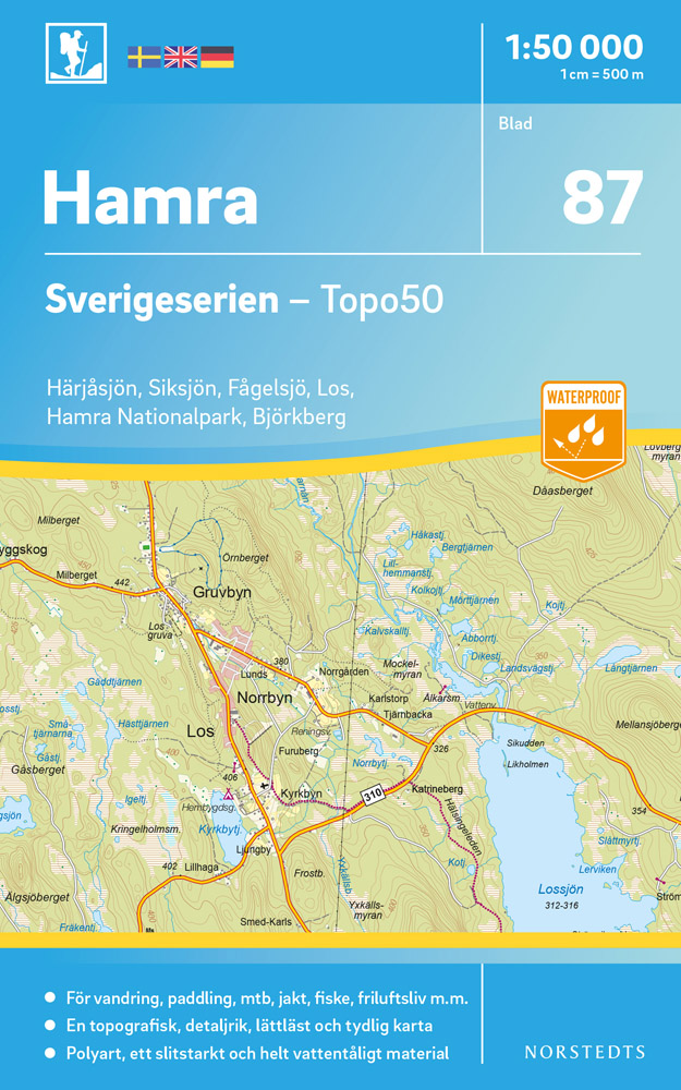
- Wandelkaart - Topografische kaart 87 Sverigeserien Hamra | Norstedts
- Sverigeserien is an outdoor map series consisting of 116 sheets with coverage of southern and central Sweden and the northern coastline. The map is suitable for outdoor activities such as hiking, excursions, trail running, hunting, fishing, riding, cycling, mountain biking, paddling, skating and much more. Every sheet covers an area of... Read more
Netherlands
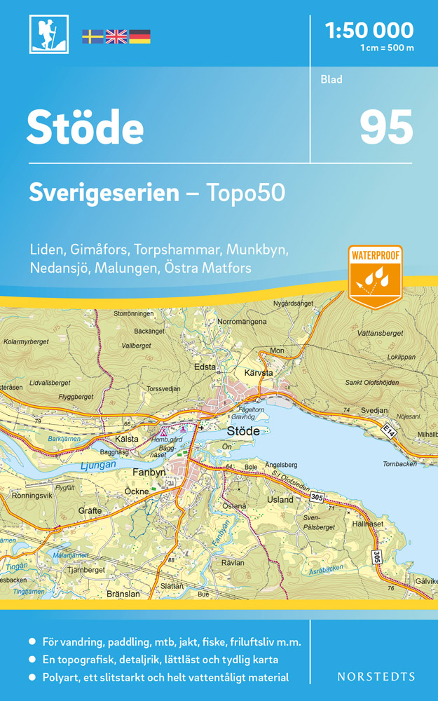
- Wandelkaart - Topografische kaart 95 Sverigeserien Stöde | Norstedts
- Sverigeserien is an outdoor map series consisting of 116 sheets with coverage of southern and central Sweden and the northern coastline. The map is suitable for outdoor activities such as hiking, excursions, trail running, hunting, fishing, riding, cycling, mountain biking, paddling, skating and much more. Every sheet covers an area of... Read more
Netherlands
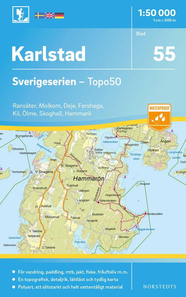
- Wandelkaart - Topografische kaart 55 Sverigeserien Karlstad | Norstedts
- Sverigeserien is an outdoor map series consisting of 116 sheets with coverage of southern and central Sweden and the northern coastline. The map is suitable for outdoor activities such as hiking, excursions, trail running, hunting, fishing, riding, cycling, mountain biking, paddling, skating and much more. Every sheet covers an area of... Read more
Netherlands
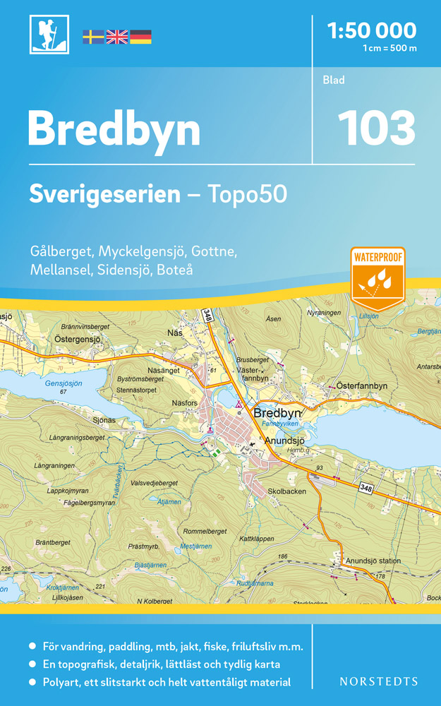
- Wandelkaart - Topografische kaart 103 Sverigeserien Bredbyn | Norstedts
- Sverigeserien is an outdoor map series consisting of 116 sheets with coverage of southern and central Sweden and the northern coastline. The map is suitable for outdoor activities such as hiking, excursions, trail running, hunting, fishing, riding, cycling, mountain biking, paddling, skating and much more. Every sheet covers an area of... Read more
Netherlands
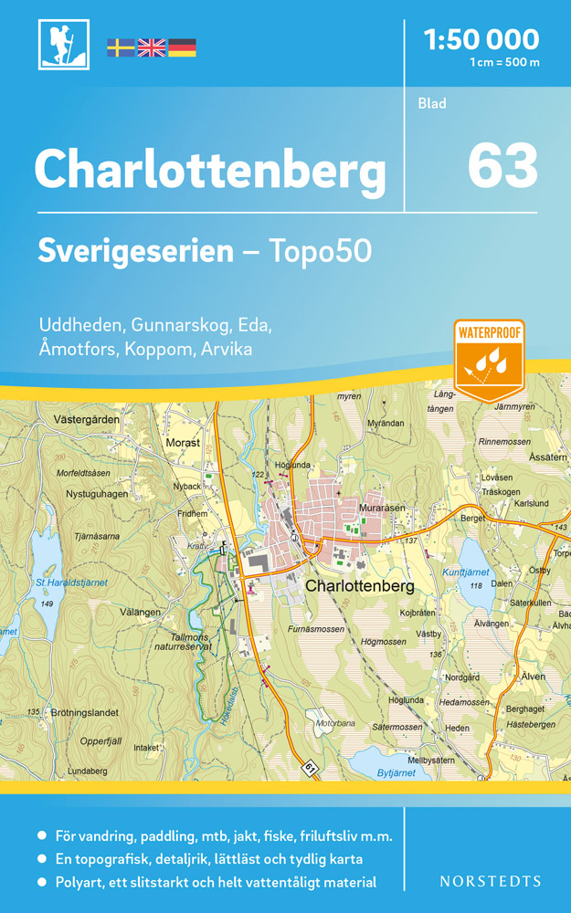
- Wandelkaart - Topografische kaart 63 Sverigeserien Charlottenberg | Norstedts
- Sverigeserien is an outdoor map series consisting of 116 sheets with coverage of southern and central Sweden and the northern coastline. The map is suitable for outdoor activities such as hiking, excursions, trail running, hunting, fishing, riding, cycling, mountain biking, paddling, skating and much more. Every sheet covers an area of... Read more
Netherlands
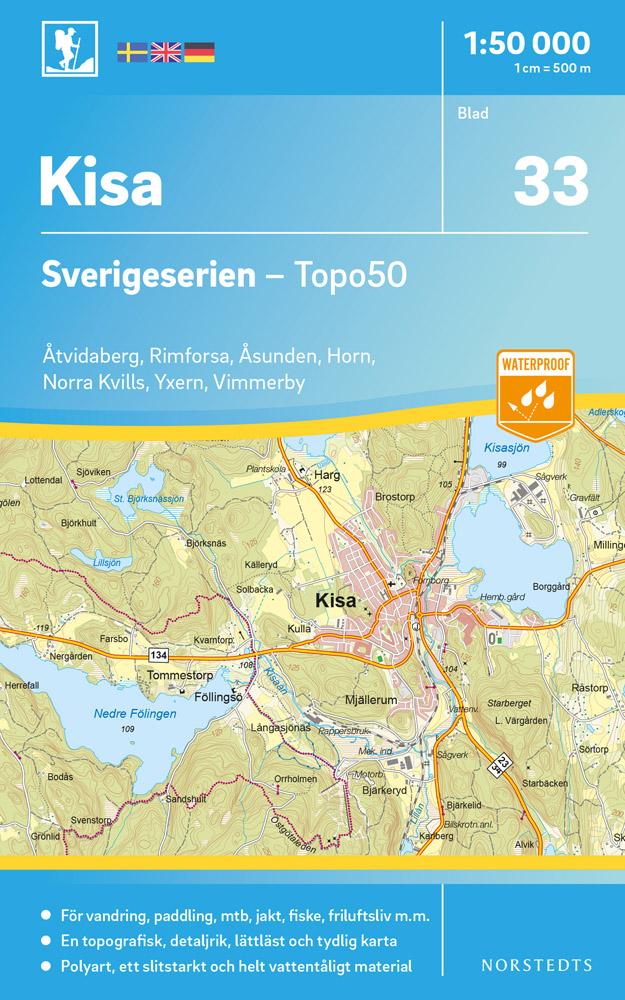
- Wandelkaart - Topografische kaart 33 Sverigeserien Kisa | Norstedts
- Sverigeserien is an outdoor map series consisting of 116 sheets with coverage of southern and central Sweden and the northern coastline. The map is suitable for outdoor activities such as hiking, excursions, trail running, hunting, fishing, riding, cycling, mountain biking, paddling, skating and much more. Every sheet covers an area of... Read more
Netherlands
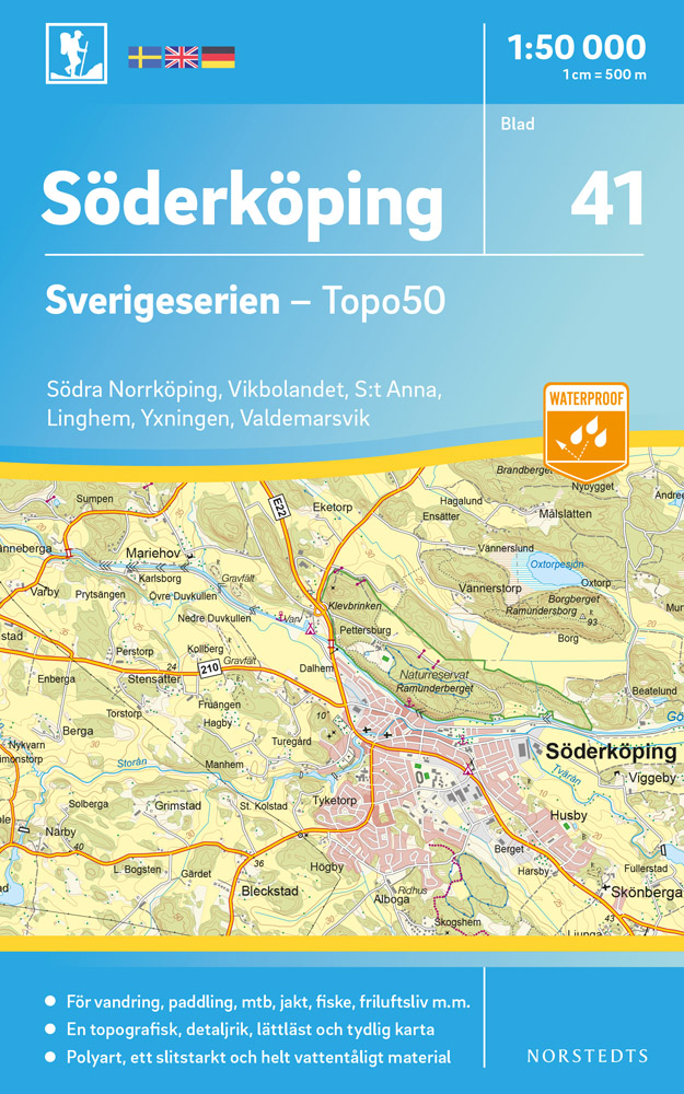
- Wandelkaart - Topografische kaart 41 Sverigeserien Söderköping | Norstedts
- Sverigeserien is an outdoor map series consisting of 116 sheets with coverage of southern and central Sweden and the northern coastline. The map is suitable for outdoor activities such as hiking, excursions, trail running, hunting, fishing, riding, cycling, mountain biking, paddling, skating and much more. Every sheet covers an area of... Read more
Netherlands
2020
Netherlands
2017
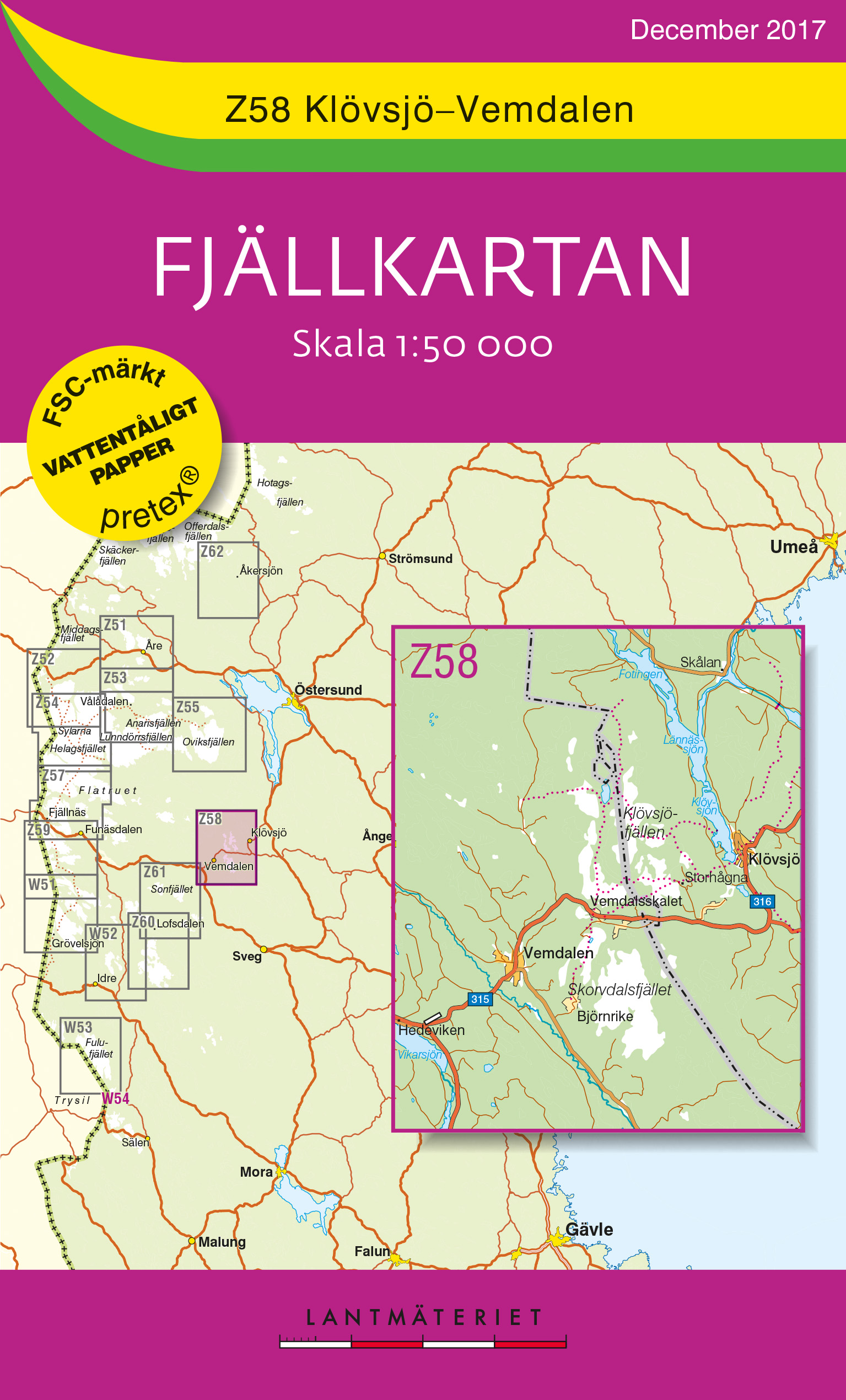
- Wandelkaart Z58 Fjällkartan Klövsjö - Vemdalen | Lantmäteriet
- Mountain areas of central and northern Sweden on waterproof and tear-resistant, GPS compatible topographic �Fj�llkartan� maps at 1:100,000 and 1:50,000 from Lantm�teriet - the country�s national survey organization, with hiking and ski routes, campsites and youth hostels, etc. Relief is shown by contours at 20m intervals and enhanced by relief ... Read more
- Also available from:
- Stanfords, United Kingdom

United Kingdom
2017
- Klövsjö - Vemdalen Lantmateriet Z58
- Mountain areas of central and northern Sweden on waterproof and tear-resistant, GPS compatible topographic “Fjällkartan” maps at 1:100,000 and 1:50,000 from Lantmäteriet - the country’s national survey organization, with hiking and ski routes, campsites and youth hostels, etc. Relief is shown by contours at 20m intervals and enhanced by relief... Read more