
Border Country
Beschreibung
The border region between Scotland and England. The Cheviots is the best known place for walking, but there are many more possibilities.
Wanderwege Region
Links
Fakten
Berichte
Führer und Karten
Übernachtung
Organisationen
Reisebüros
GPS
Sonstiges
Bücher

The Book Depository
United Kingdom
United Kingdom
- Also available from:
- Stanfords, United Kingdom

Stanfords
United Kingdom
United Kingdom
- South Pennines: Burnley, Hebden Bridge, Keighley & Todmorden OS Explorer Active Map OL21 (waterproof)
- The southern part of the Pennines on a detailed topographic and GPS compatible map OL21, waterproof version, from the Ordnance Survey’s 1:25,000 Explorer series. The map covers an area between Burney and Halifax, extending north to Skipton and Horton. Coverage includes Littleborough, Sowerby Bridge, Todmorden, Haworth, Nelson, Bernoldswick, the... Read more

- Also available from:
- De Zwerver, Netherlands
- Stanfords, United Kingdom
De Zwerver
Netherlands
2019
Netherlands
2019

Stanfords
United Kingdom
2019
United Kingdom
2019
- Maidstone, Royal Tunbridge Wells, Sevenoaks & Tonbridge OS Landranger Map 188 (paper)
- Maidstone, Tunbridge Wells and the High Weald area, including a section of the North Downs Way / E2 European Long-distance Path, on a paper version of map No. 188 from the Ordnance Survey’s Landranger series at 1:50,000, with contoured and GPS compatible topographic mapping plus tourist information.MOBILE DOWNLOADS: As well as the physical... Read more

- Also available from:
- De Zwerver, Netherlands
- Stanfords, United Kingdom
De Zwerver
Netherlands
2016
Netherlands
2016

Stanfords
United Kingdom
2016
United Kingdom
2016
- Ipswich, The Naze & Clacton-on-Sea OS Landranger Map 169 (paper)
- Ipswich with Harwich and The Naze area, including part of the E2 European Long-distance Path, on a paper version of map No. 169 from the Ordnance Survey’s Landranger series at 1:50,000, with contoured and GPS compatible topographic mapping plus tourist information.MOBILE DOWNLOADS: As well as the physical edition of the map, each Landranger... Read more

The Book Depository
United Kingdom
2019
United Kingdom
2019
- The Borders Abbeys Way
- The abbeys of Melrose, Dryburgh, Kelso and Jedburgh in the Scottish Borders Read more
- Also available from:
- De Zwerver, Netherlands
De Zwerver
Netherlands
2019
Netherlands
2019
- Wandelgids The Borders Abbeys Ways | Cicerone
- Guidebook to The Borders Abbeys Way, a 68 mile circuit in the Scottish Borders, taking in four of Britain's grandest ruined medieval abbeys. Beginning and ending in Tweedbank, the route, which is described over 6 stages, is as rich in history as it is pastoral charm. Relatively flat, it is suitable for people with a moderate level of fitness. Read more

- Also available from:
- De Zwerver, Netherlands
- Stanfords, United Kingdom

De Zwerver
Netherlands
2021
Netherlands
2021

Stanfords
United Kingdom
2021
United Kingdom
2021
- Worcester, The Malverns, Evesham & Tewkesbury OS Landranger Map 150 (paper)
- The area around Worcester, Great Malvern, Evesham and Tewkesbury, including the Malvern Hills and part of the Cotswold Way / E2 European Long-distance Path, on a paper version of map No. 150 from the Ordnance Survey’s Landranger series at 1:50,000, with contoured and GPS compatible topographic mapping plus tourist information.MOBILE DOWNLOADS:... Read more

- Also available from:
- De Zwerver, Netherlands
De Zwerver
Netherlands
2017
Netherlands
2017
- Wandelgids Yorkshire Dales | Pocket Mountains
- The Yorkshire Dales combine a wild limestone landscape of high rolling moorland gouged by dramatic caves and cascading waterfalls with peaceful farmland carpeted in wildflowers and dotted with ruined abbeys, ancient stone walls and barns, and timeless villages waiting to be discovered.The 40 moderate walks in this collection from award winning... Read more

- Also available from:
- De Zwerver, Netherlands
- Stanfords, United Kingdom
De Zwerver
Netherlands
2016
Netherlands
2016

Stanfords
United Kingdom
2016
United Kingdom
2016
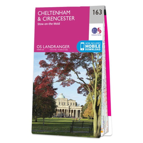
- Cheltenham, Cirencester & Stow-on-the-Wold OS Landranger Map 163 (paper)
- Cheltenham and Cirencester area, including sections of the Thames Path, the Cotswold Way and the E2 European Long-distance Path, on a paper version of map No. 163 from the Ordnance Survey’s Landranger series at 1:50,000, with contoured and GPS compatible topographic mapping plus tourist information.MOBILE DOWNLOADS: As well as the physical... Read more

- Also available from:
- De Zwerver, Netherlands
- Stanfords, United Kingdom

De Zwerver
Netherlands
2016
Netherlands
2016

Stanfords
United Kingdom
2016
United Kingdom
2016
- Oxford, Chipping Norton & Bicester OS Landranger Map 164 (paper)
- Oxford area, including sections of the Thames Path and the E2 European Long-distance Path, on a paper version of map No. 164 from the Ordnance Survey’s Landranger series at 1:50,000, with contoured and GPS compatible topographic mapping plus tourist information.MOBILE DOWNLOADS: As well as the physical edition of the map, each Landranger title... Read more

- Also available from:
- De Zwerver, Netherlands

- Also available from:
- Stanfords, United Kingdom

Stanfords
United Kingdom
United Kingdom
- Reading, Windsor, Henley-on-Thames & Bracknell OS Landranger Active Map 175 (waterproof)
- Reading – Windsor area, including a section of the Thames Path / E2 European Long-distance Path, on a waterproof and tear-resistant OS Active version of map No. 175 from the Ordnance Survey’s Landranger series at 1:50,000, with contoured and GPS compatible topographic mapping plus tourist information.MOBILE DOWNLOADS: As well as the physical... Read more

- Also available from:
- De Zwerver, Netherlands
- Stanfords, United Kingdom
De Zwerver
Netherlands
2016
Netherlands
2016

Stanfords
United Kingdom
2016
United Kingdom
2016
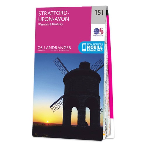
- Stratford-upon-Avon, Warwick & Banbury OS Landranger Map 151 (paper)
- The area between Stratford-upon-Avon, Warwick and Banbury, including the northern part of the Cotswold Hills and part of the Cotswold Way / E2 European Long-distance Path, on a paper version of map No. 151 from the Ordnance Survey’s Landranger series at 1:50,000, with contoured and GPS compatible topographic mapping plus tourist... Read more

- Also available from:
- De Zwerver, Netherlands
- Stanfords, United Kingdom

De Zwerver
Netherlands
Netherlands

Stanfords
United Kingdom
United Kingdom
- Cheviot Hills - Jedburgh & Wooler OS Explorer Map OL16 (paper)
- The Cheviot Hills on a detailed topographic and GPS compatible map OL16, paper version, from the Ordnance Survey’s 1:25,000 Explorer series. Coverage includes Jedburgh, Woolmer, part of the Northumberland National Park, the peaks of The Cheviot, Corby Pike, Cold Law, Scrathy Holes and Windy Gyle, Catcleugh Reservoir, sections of the Pennine Way... Read more

- Also available from:
- Stanfords, United Kingdom

Stanfords
United Kingdom
United Kingdom
- North Pennines: Teesdale & Weardale OS Explorer Active Map OL31 (waterproof)
- The northern part of the Pennines including Teesdale and Weardale on a detailed topographic and GPS compatible map OL31, waterproof version, from the Ordnance Survey’s 1:25,000 Explorer series. Coverage include Barnard Castle, Middleton-in-Teesdale, Stanhope, Blagill, Gilderdale Forest, Milburn Forest, Hamsterley Forest, Middleton Common, the... Read more

- Also available from:
- Stanfords, United Kingdom

Stanfords
United Kingdom
United Kingdom
- Canterbury, East Kent, Dover & Margate OS Landranger Active Map 179 (waterproof)
- Eastern Kent with Canterbury, Dover and Margate, including sections of the North Downs Way and the E2 and E9 European Long-Distance Paths, on a waterproof and tear-resistant OS Active version of map No. 179 from the Ordnance Survey’s Landranger series at 1:50,000, with contoured and GPS compatible topographic mapping plus tourist... Read more

- Also available from:
- Stanfords, United Kingdom

Stanfords
United Kingdom
United Kingdom
- Thames Estuary, Rochester & Southend-on-Sea OS Landranger Active Map 178 (waterproof)
- Thames Estuary with Rochester and Southend-on-Sea, including a section of the North Downs Way / E2 European Long-Distance Path, on a waterproof and tear-resistant OS Active version of map No. 178 from the Ordnance Survey’s Landranger series at 1:50,000, with contoured and GPS compatible topographic mapping plus tourist information.MOBILE... Read more
Karten

The Book Depository
United Kingdom
2015
United Kingdom
2015
- Peak District North
- The northern part of the Peak District at 1:25,000 on a light, waterproof and tear-resistant, GPS compatible, double-sided map from Harvey Map Services in their Superwalker series. Coverage extends from Marsden and Holmbridge in the north to beyond Glossop in the south, and includes the Bottoms / Valehouse / Rhodeswood / Torside / Woodhead... Read more
- Also available from:
- De Zwerver, Netherlands
- Stanfords, United Kingdom

De Zwerver
Netherlands
2015
Netherlands
2015
- Wandelkaart Peak District Noord | Harvey Maps
- The northern part of the Peak District at 1:25,000 on a light, waterproof and tear-resistant, GPS compatible, double-sided map from Harvey Map Services in their Superwalker series. Coverage extends from Marsden and Holmbridge in the north to beyond Glossop in the south, and includes the Bottoms / Valehouse / Rhodeswood / Torside / Woodhead... Read more

Stanfords
United Kingdom
2015
United Kingdom
2015
- Peak District North Harvey Superwalker XT25
- The northern part of the Peak District at 1:25,000 on a light, waterproof and tear-resistant map from Harvey Map Services in their Superwalker series. Coverage extends from Marsden and Holmbridge in the north to beyond Glossop in the south, and includes the Bottoms / Valehouse / Rhodeswood / Torside / Woodhead Reservoirs, Howden / Derwent... Read more

The Book Depository
United Kingdom
2015
United Kingdom
2015
- Peak District Central XT25
- The central part of the Peak District at 1:25,000 on a light, waterproof and tear-resistant, GPS compatible, double-sided map from Harvey Map Services in their Superwalker series. Coverage extends from west of New Mills and Whaley Bridge in the west to Sheffield and from the Derwent Reservoir in the north to Buxton, and includes... Read more
- Also available from:
- Stanfords, United Kingdom

Stanfords
United Kingdom
2015
United Kingdom
2015
- Peak District Central Harvey Superwalker XT25
- The central part of the Peak District at 1:25,000 on a light, waterproof and tear-resistant map from Harvey Map Services in their Superwalker series. Coverage extends from west of New Mills and Whaley Bridge in the west to Sheffield, and from the Derwent Reservoir in the north to Buxton, and includes Chapel-en-le-Firth, Castleton, Kinder Scout,... Read more

The Book Depository
United Kingdom
2016
United Kingdom
2016
- Yorkshire Dales South & Western
- Southern and western area of the Yorkshire Dales on a detailed topographic and GPS compatible map OL2, paper version, from the Ordnance Survey`s 1:25,000 Explorer series. Coverage includes Wharfedale with Grassington and Hebden, the upper part of the Ribblesdale with Settle and Horton, Yorkshire’s Three Peaks area of Whernside, Ingleborough and... Read more
- Also available from:
- De Zwerver, Netherlands
- Stanfords, United Kingdom

De Zwerver
Netherlands
2016
Netherlands
2016
- Wandelkaart - Topografische kaart OL02 OS Explorer Map Yorkshire Dales - Southern & Western Area | Ordnance Survey
- Southern and western area of the Yorkshire Dales on a detailed topographic and GPS compatible map OL2, paper version, from the Ordnance Survey`s 1:25,000 Explorer series. Coverage includes Wharfedale with Grassington and Hebden, the upper part of the Ribblesdale with Settle and Horton, Yorkshire’s Three Peaks area of Whernside, Ingleborough and... Read more

Stanfords
United Kingdom
2016
United Kingdom
2016
- Yorkshire Dales Southern & Western - Whernside, Ingleborough & Pen-y-ghent OS Explorer OL2
- Southern and western area of the Yorkshire Dales on a detailed topographic and GPS compatible map OL2, paper version, from the Ordnance Survey`s 1:25,000 Explorer series. Coverage includes Wharfedale with Grassington and Hebden, the upper part of the Ribblesdale with Settle and Horton, Yorkshire’s Three Peaks area of Whernside, Ingleborough and... Read more

The Book Depository
United Kingdom
United Kingdom
- Yorkshire Dales South & Western
- Southern and western area of the Yorkshire Dales on a detailed topographic and GPS compatible map OL2, waterproof version, from the Ordnance Survey`s 1:25,000 Explorer series. Coverage includes Wharfedale with Grassington and Hebden, the upper part of the Ribblesdale with Settle and Horton, Yorkshire’s Three Peaks area of Whernside,... Read more
- Also available from:
- Stanfords, United Kingdom

Stanfords
United Kingdom
United Kingdom
- Yorkshire Dales Southern & Western - Whernside, Ingleborough & Pen-y-ghent OS Explorer OL2 ACTIVE
- Southern and western area of the Yorkshire Dales on a detailed topographic and GPS compatible map OL2, waterproof version, from the Ordnance Survey`s 1:25,000 Explorer series. Coverage includes Wharfedale with Grassington and Hebden, the upper part of the Ribblesdale with Settle and Horton, Yorkshire’s Three Peaks area of Whernside,... Read more
De Zwerver
Netherlands
Netherlands
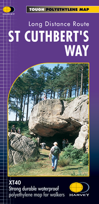
- Wandelkaart St Cuthbert's Way | Harvey Maps
- St. Cuthbert's Way, a 100km / 62.5 mile route from Melrose in the Scottish Borders through the Northumberland National Park to the Holly Island of Lindisfarne, presented at 1:40,000 on a GPS compatible, light, waterproof and tear-resistant map from Harvey Map Services. The route is shown on six panels, with additional small street plans of... Read more
- Also available from:
- Stanfords, United Kingdom

Stanfords
United Kingdom
United Kingdom
- St Cuthbert`s Way Harvey National Trail XT40
- St. Cuthbert`s Way, a 100km / 62.5 mile route from Melrose in the Scottish Borders through the Northumberland National Park to the Holly Island of Lindisfarne, presented at 1:40,000 on a GPS compatible, light, waterproof and tear-resistant map from Harvey Map Services. The route is shown on six panels, with additional small street plans of... Read more

De Zwerver
Netherlands
Netherlands
- Wandelkaart Pennine Way South | Harvey Maps
- The southern section of the Pennine Way between Edale and Horton in Ribblesdale on a waterproof and tear-resistant map at 1:40,000 from Harvey Map Services presenting the route accompanied by extensive additional tourist information.Divided into six panels, the route is shown on mapping with contours at 15m intervals enhanced by additional... Read more
- Also available from:
- Stanfords, United Kingdom

Stanfords
United Kingdom
United Kingdom
- Pennine Way South Harvey XT40 National Trail Map
- The southern section of the Pennine Way between Edale and Horton in Ribblesdale on a waterproof and tear-resistant map at 1:40,000 from Harvey Map Services presenting the route accompanied by extensive additional tourist information.Divided into six panels, the route is shown on mapping with contours at 15m intervals enhanced by additional... Read more

De Zwerver
Netherlands
2020
Netherlands
2020
- Fietskaart Yorkshire Dales Touring / Nidderdale Area of NB | Harvey Maps
- Yorkshire Dales on a road map at 1:100,000 from Harvey Map Services with several enlargements showing main roads across local towns, plus descriptions of interesting locations, advice on public transport, etc. The map shows the Dales region with altitude colouring to indicate the region Read more
- Also available from:
- Stanfords, United Kingdom

Stanfords
United Kingdom
2020
United Kingdom
2020
- Yorkshire Dales Harvey Touring & Planning Map
- Yorkshire Dales on a road map at 1:100,000 from Harvey Map Services with several enlargements showing main roads across local towns, plus descriptions of interesting locations, advice on public transport, etc. The map shows the Dales region with altitude colouring to indicate the region’s topography. Long-distance trails such as the Dales Way,... Read more

De Zwerver
Netherlands
2014
Netherlands
2014
- Fietskaart Dales Noord | Harvey Maps
- The northern part of the Yorkshire Dales on a waterproof and tear-resistant, contoured and GPS compatible map at 1:40,000 from Harvey Map Services showing local right of way paths, long-distance hiking routes, off road cycling routes, etc.Topography is shown by contours at 15m intervals, with spot heights plus colouring and graphics to show... Read more

Stanfords
United Kingdom
United Kingdom
- England Coast Path Adventure Map - Minehead to Brean Down
- The A-Z Adventure Series of maps combines the best of OS and A-Z, creating the perfect companion for walkers, off-road cyclists, horse riders and anyone wishing to explore the great outdoors.This official Minehead to Brean Down Adventure Map covers a 58 mile (93km) section of the England Coast Path, a new National Trail around England`s coast.... Read more

Stanfords
United Kingdom
United Kingdom
- Blackburn and Burnley 1924-1925
- Map No. 103, Blackburn and Burnley 1924-1925, in the Cassini Historical Series of old Ordnance Survey mapping of England and Wales at 1:50,000 in a format designed to offer a convenient comparison with the present day coverage from the OS, and most locations in three different editions. Old historical maps have been combined so that the sheet... Read more
Stanfords
United Kingdom
United Kingdom
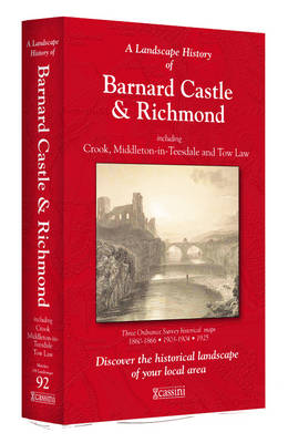
- Barnard Castle & Richmond 1925 - 92
- Map No. 92, Barnard Castle and Richmond 1925, in the Cassini Historical Series of old Ordnance Survey mapping of England and Wales at 1:50,000 in a format designed to offer a convenient comparison with the present day coverage from the OS, and most locations in three different editions. Old historical maps have been combined so that the sheet... Read more
Stanfords
United Kingdom
United Kingdom
- Hexham and Haltwhistle 1901-1904
- Map No. 87, Hexham and Haltwhistle 1901-1904, in the Cassini Historical Series of old Ordnance Survey mapping of England and Wales at 1:50,000 in a format designed to offer a convenient comparison with the present day coverage from the OS, and most locations in three different editions. Old historical maps have been combined so that the sheet... Read more
Stanfords
United Kingdom
United Kingdom
- Barnard Castle and Richmond 1860-1925 (3-map set)
- Map No. 92, Barnard Castle and Richmond 1860-1925 (3-map set), in the Cassini Historical Series of old Ordnance Survey mapping of England and Wales at 1:50,000 in a format designed to offer a convenient comparison with the present day coverage from the OS, and most locations in three different editions. Old historical maps have been combined so... Read more
Stanfords
United Kingdom
United Kingdom
- Sheffield and Huddersfield 1840-1841
- Map No. 110, Sheffield and Huddersfield 1840-1841, in the Cassini Historical Series of old Ordnance Survey mapping of England and Wales at 1:50,000 in a format designed to offer a convenient comparison with the present day coverage from the OS, and most locations in three different editions. Old historical maps have been combined so that the... Read more

Stanfords
United Kingdom
United Kingdom
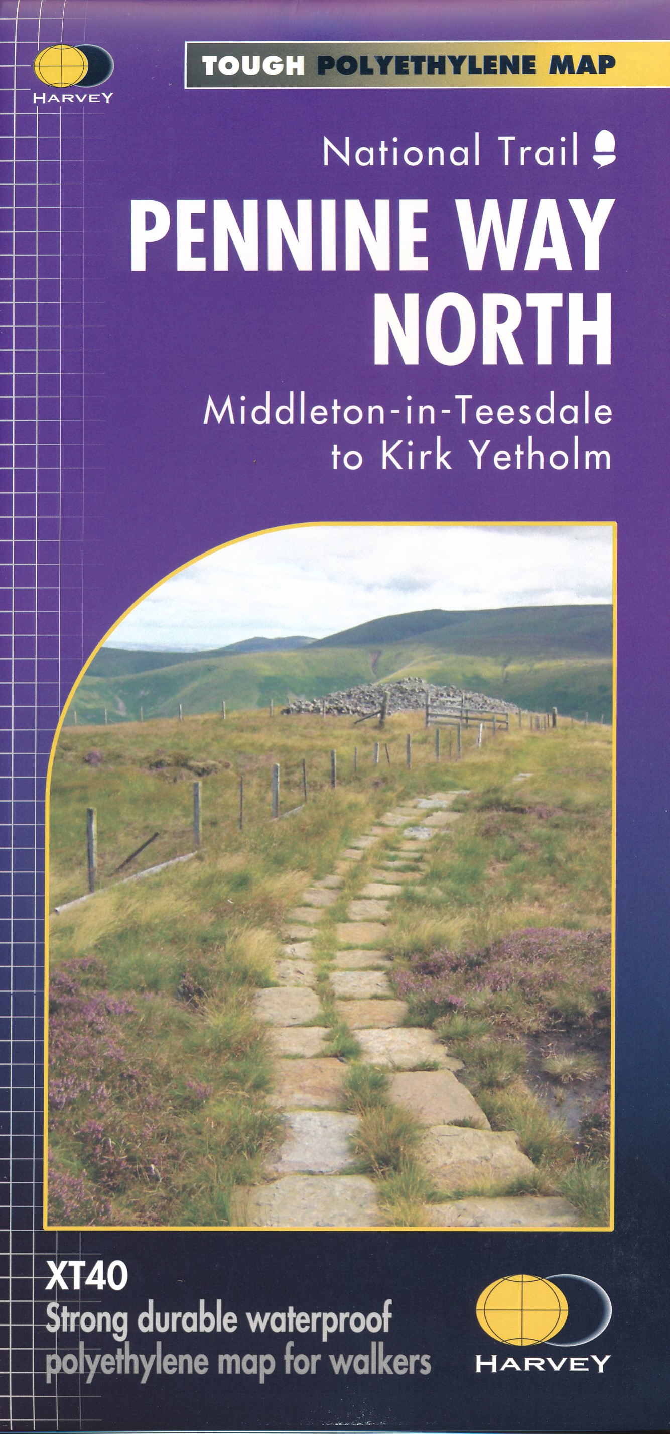
- Pennine Way North A-Z Adventure Atlas
- The Pennine Way North Adventure Atlas, presenting the northern section of the route between Kirk Yetholm in the Cheviot Hills and Bowes near Barnard Castle on mapping at 1:25,000 in a series of handy A5 size Adventure Atlases from Geographers` A-Z Map Company with cartography from the Ordnance Survey’s Explorer series. Coverage includes a large... Read more