
Mendip Hills
Beschreibung
The Mendip Hills or Mendips are located in Somerset, eastern England, south of Bristol. They are formed of a type of limestone. Highest elevation is 325 meters. Much of the hills is open calcareous grassland, rich in flowers. Parts are woodland. The grazing fields are bordered by dry stone walls, giving the landscape a special flavor.
Wanderwege Region
Links
Fakten
Berichte
Führer und Karten
Übernachtung
Organisationen
Reisebüros
GPS
Sonstiges
Bücher

- Also available from:
- De Zwerver, Netherlands
- Stanfords, United Kingdom
De Zwerver
Netherlands
2015
Netherlands
2015

Stanfords
United Kingdom
2015
United Kingdom
2015
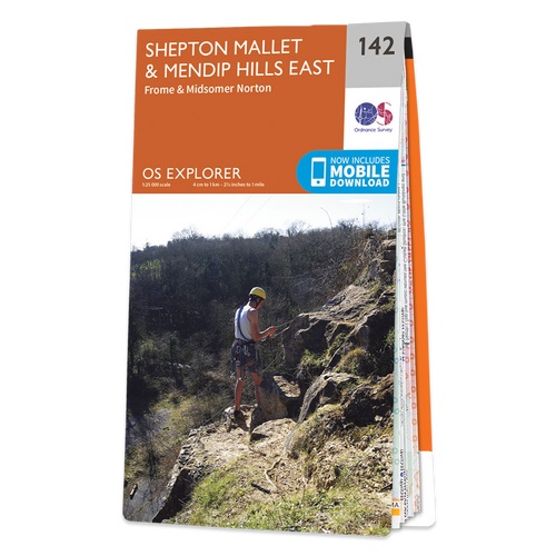
- Shepton Mallet & Mendip Hills East - Frome & Midsomer Norton OS Explorer Map 142 (paper)
- Shepton Mallet, Mendip Hills East, Frome and Midsomer Norton area on a detailed topographic and GPS compatible map No. 142, paper version, from the Ordnance Survey’s 1:25,000 Explorer series. MOBILE DOWNLOADS: this title and all the other OS Explorer maps include a code for downloading after purchase the digital version onto your smartphone or... Read more


- Also available from:
- Stanfords, United Kingdom

Stanfords
United Kingdom
United Kingdom
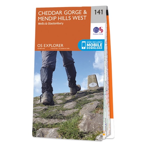
- Cheddar Gorge & Mendip Hills West - Wells & Glastonbury OS Explorer Active Map 141 (waterproof)
- Cheddar Gorge, Mendip Hills West, Wells and Glastonbury area on a detailed topographic and GPS compatible map No. 141, waterproof version, from the Ordnance Survey’s 1:25,000 Explorer series. MOBILE DOWNLOADS: this title and all the other OS Explorer maps include a code for downloading after purchase the digital version onto your smartphone or... Read more

- Also available from:
- Stanfords, United Kingdom

Stanfords
United Kingdom
United Kingdom
- Shepton Mallet & Mendip Hills East - Frome & Midsomer Norton OS Explorer Active Map 142 (waterproof)
- Shepton Mallet, Mendip Hills East, Frome and Midsomer Norton area on a detailed topographic and GPS compatible map No. 142, waterproof version, from the Ordnance Survey’s 1:25,000 Explorer series.MOBILE DOWNLOADS: this title and all the other OS Explorer maps include a code for downloading after purchase the digital version onto your smartphone... Read more

- Also available from:
- De Zwerver, Netherlands
- Stanfords, United Kingdom
De Zwerver
Netherlands
2015
Netherlands
2015

Stanfords
United Kingdom
2015
United Kingdom
2015
- Cheddar Gorge & Mendip Hills West - Wells & Glastonbury OS Explorer Map 141 (paper)
- Cheddar Gorge, Mendip Hills West, Wells and Glastonbury area on a detailed topographic and GPS compatible map No. 141, paper version, from the Ordnance Survey’s 1:25,000 Explorer series. MOBILE DOWNLOADS: this title and all the other OS Explorer maps include a code for downloading after purchase the digital version onto your smartphone or... Read more
Karten

Stanfords
United Kingdom
United Kingdom
- Weston-super-Mare 1919-1922
- Map No. 182, Weston-super-Mare 1919-1922, in the Cassini Historical Series of old Ordnance Survey mapping of England and Wales at 1:50,000 in a format designed to offer a convenient comparison with the present day coverage from the OS, and most locations in three different editions. Old historical maps have been combined so that the sheet lines... Read more
Stanfords
United Kingdom
United Kingdom
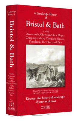
- Bristol and Bath 1899
- Map No. 172, Bristol and Bath 1899, in the Cassini Historical Series of old Ordnance Survey mapping of England and Wales at 1:50,000 in a format designed to offer a convenient comparison with the present day coverage from the OS, and most locations in three different editions. Old historical maps have been combined so that the sheet lines... Read more
Stanfords
United Kingdom
United Kingdom
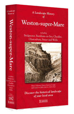
- Weston-super-Mare 1899-1900
- Map No. 182, Weston-super-Mare 1899-1900, in the Cassini Historical Series of old Ordnance Survey mapping of England and Wales at 1:50,000 in a format designed to offer a convenient comparison with the present day coverage from the OS, and most locations in three different editions. Old historical maps have been combined so that the sheet lines... Read more
Stanfords
United Kingdom
United Kingdom
- Bristol and Bath 1817-1919 (3-map set)
- Map No. 172, Bristol and Bath 1899, in the Cassini Historical Series of old Ordnance Survey mapping of England and Wales at 1:50,000 in a format designed to offer a convenient comparison with the present day coverage from the OS, and most locations in three different editions. Old historical maps have been combined so that the sheet lines... Read more
Stanfords
United Kingdom
United Kingdom
- Weston-super-Mare 1809-1922 (3-map set)
- Map No. 182, Weston-super-Mare 1809-1922 (3-map set), in the Cassini Historical Series of old Ordnance Survey mapping of England and Wales at 1:50,000 in a format designed to offer a convenient comparison with the present day coverage from the OS, and most locations in three different editions. Old historical maps have been combined so that the... Read more
Stanfords
United Kingdom
United Kingdom
- Bristol and Bath 1817-1830
- Map No. 172, Bristol and Bath 1817-1830, in the Cassini Historical Series of old Ordnance Survey mapping of England and Wales at 1:50,000 in a format designed to offer a convenient comparison with the present day coverage from the OS, and most locations in three different editions. Old historical maps have been combined so that the sheet lines... Read more
Stanfords
United Kingdom
United Kingdom
- Weston-super-Mare 1809-1833
- Map No. 182, Weston-super-Mare 1809-1833, in the Cassini Historical Series of old Ordnance Survey mapping of England and Wales at 1:50,000 in a format designed to offer a convenient comparison with the present day coverage from the OS, and most locations in three different editions. Old historical maps have been combined so that the sheet lines... Read more
Stanfords
United Kingdom
United Kingdom
- Bristol and Bath 1919
- Map No. 172, Bristol and Bath 1919, in the Cassini Historical Series of old Ordnance Survey mapping of England and Wales at 1:50,000 in a format designed to offer a convenient comparison with the present day coverage from the OS, and most locations in three different editions. Old historical maps have been combined so that the sheet lines... Read more