
Banff National Park
Beschreibung
National Park in the Canadian Rocky Mountains.
Wanderwege Region
Links
Fakten
Berichte
Führer und Karten
Übernachtung
Organisationen
Reisebüros
GPS
Sonstiges
Bücher

The Book Depository
United Kingdom
2021
United Kingdom
2021
- Moon Best of Glacier, Banff & Jasper (First Edition)
- Make the Most of One to Three Days in the Parks Read more

- Also available from:
- Stanfords, United Kingdom

Stanfords
United Kingdom
United Kingdom
- Banff, Huntly, Portsoy & Turriff OS Landranger Active Map 29 (waterproof)
- Waterproof and tear-resistant OS Active version of map No. 29 from the Ordnance Survey’s Landranger series at 1:50,000, with contoured and GPS compatible topographic mapping plus tourist information.MOBILE DOWNLOADS: As well as the physical edition of the map, each Landranger title now includes a code for downloading after purchase its digital... Read more


The Book Depository
United Kingdom
2022
United Kingdom
2022
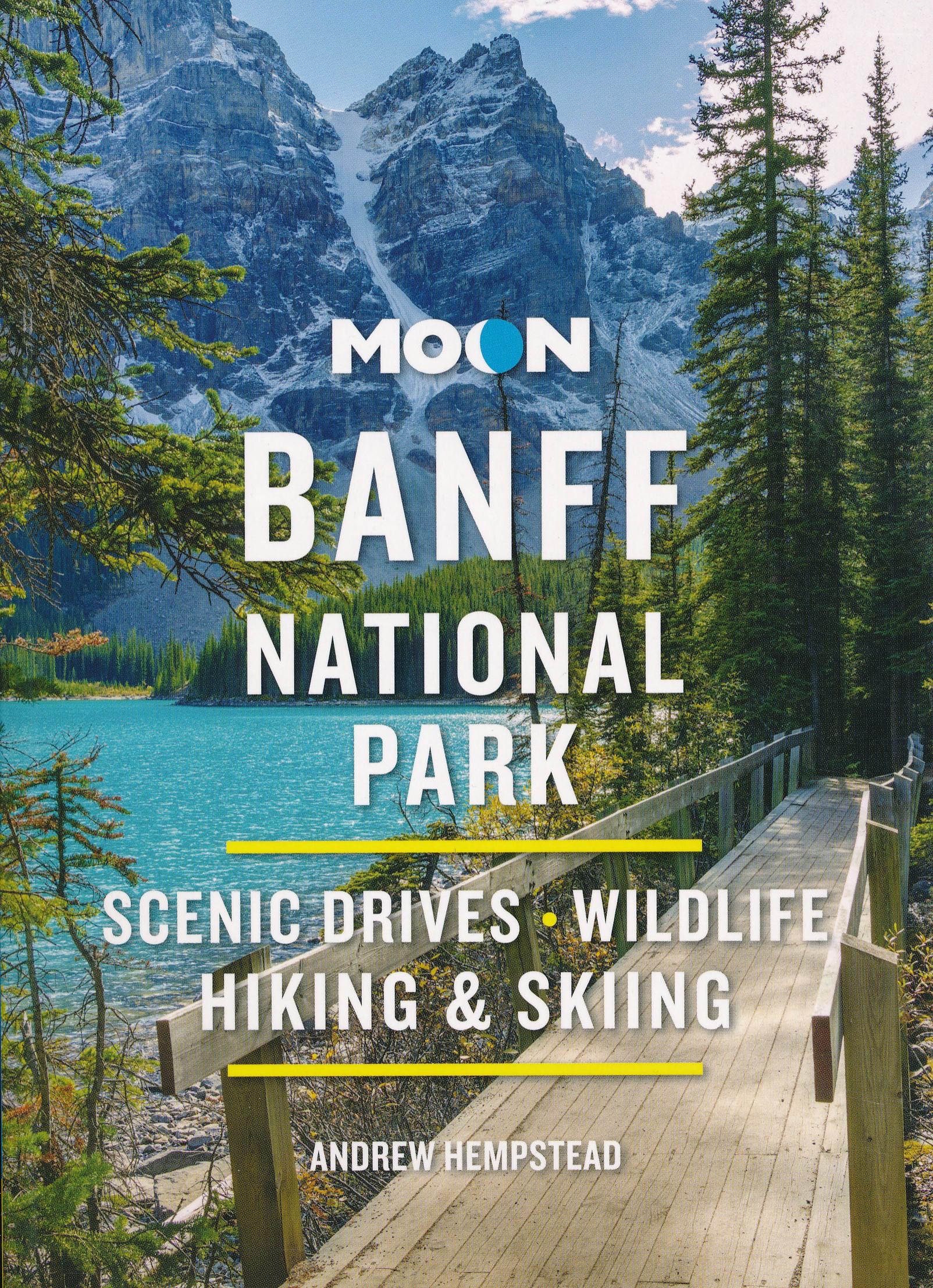
- Moon Banff National Park (Fourth Edition)
- Scenic Drives, Wildlife, Hiking & Skiing Read more
- Also available from:
- De Zwerver, Netherlands
De Zwerver
Netherlands
2022
Netherlands
2022
- Reisgids Banff National Park | Moon Travel Guides
- Scenic Drives, Wildlife, Hiking & Skiing Read more

- Also available from:
- De Zwerver, Netherlands
- Stanfords, United Kingdom
De Zwerver
Netherlands
2015
Netherlands
2015

Stanfords
United Kingdom
2015
United Kingdom
2015
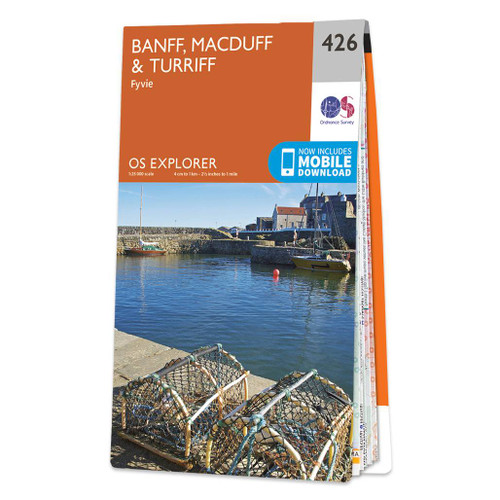
- Banff, Macduff & Turriff - Fyvie OS Explorer Map 426 (paper)
- Banff, Macduff, Turriff and Fyvie area on a detailed topographic and GPS compatible map No. 426, paper version, from the Ordnance Survey’s 1:25,000 Explorer series. MOBILE DOWNLOADS: this title and all the other OS Explorer maps include a code for downloading after purchase the digital version onto your smartphone or tablet for viewing on the... Read more

- Also available from:
- Stanfords, United Kingdom

Stanfords
United Kingdom
United Kingdom
- Banff, Macduff & Turriff - Fyvie OS Explorer Active Map 426 (waterproof)
- Banff, Macduff, Turriff and Fyvie area on a detailed topographic and GPS compatible map No. 426, waterproof version, from the Ordnance Survey’s 1:25,000 Explorer series. MOBILE DOWNLOADS: this title and all the other OS Explorer maps include a code for downloading after purchase the digital version onto your smartphone or tablet for viewing on... Read more
De Zwerver
Netherlands
Netherlands
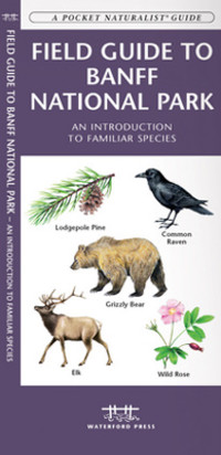
- Vogelgids - Natuurgids Field guide to Banff National Park Wildlife | Waterford Press
- Een bijzonder handige uitklapkaart met alle veelvoorkomende dieren en planten van Banff National Park. Duidelijke illustraties, goede korte omschrijving van soort en leefgebied, geplastificeerd. This fold-up, laminated card features 133 color drawings and short descriptions of commonly encountered wildlife and a map. Laminated for durability,... Read more
De Zwerver
Netherlands
2022
Netherlands
2022
- Reisgids Canadian Rockies, met Banff en Jasper NP | Moon Travel Guides
- Scenic Drives, Wildlife, Hiking & Skiing Read more
De Zwerver
Netherlands
2016
Netherlands
2016
- Also available from:
- Stanfords, United Kingdom

Stanfords
United Kingdom
2016
United Kingdom
2016
- Banff, Huntly, Portsoy & Turriff OS Landranger Map 29 (paper)
- Paper version of map No. 29 from the Ordnance Survey’s Landranger series at 1:50,000, with contoured and GPS compatible topographic mapping plus tourist information.MOBILE DOWNLOADS: As well as the physical edition of the map, each Landranger title now includes a code for downloading after purchase its digital version onto your smartphone or... Read more

Stanfords
United Kingdom
United Kingdom
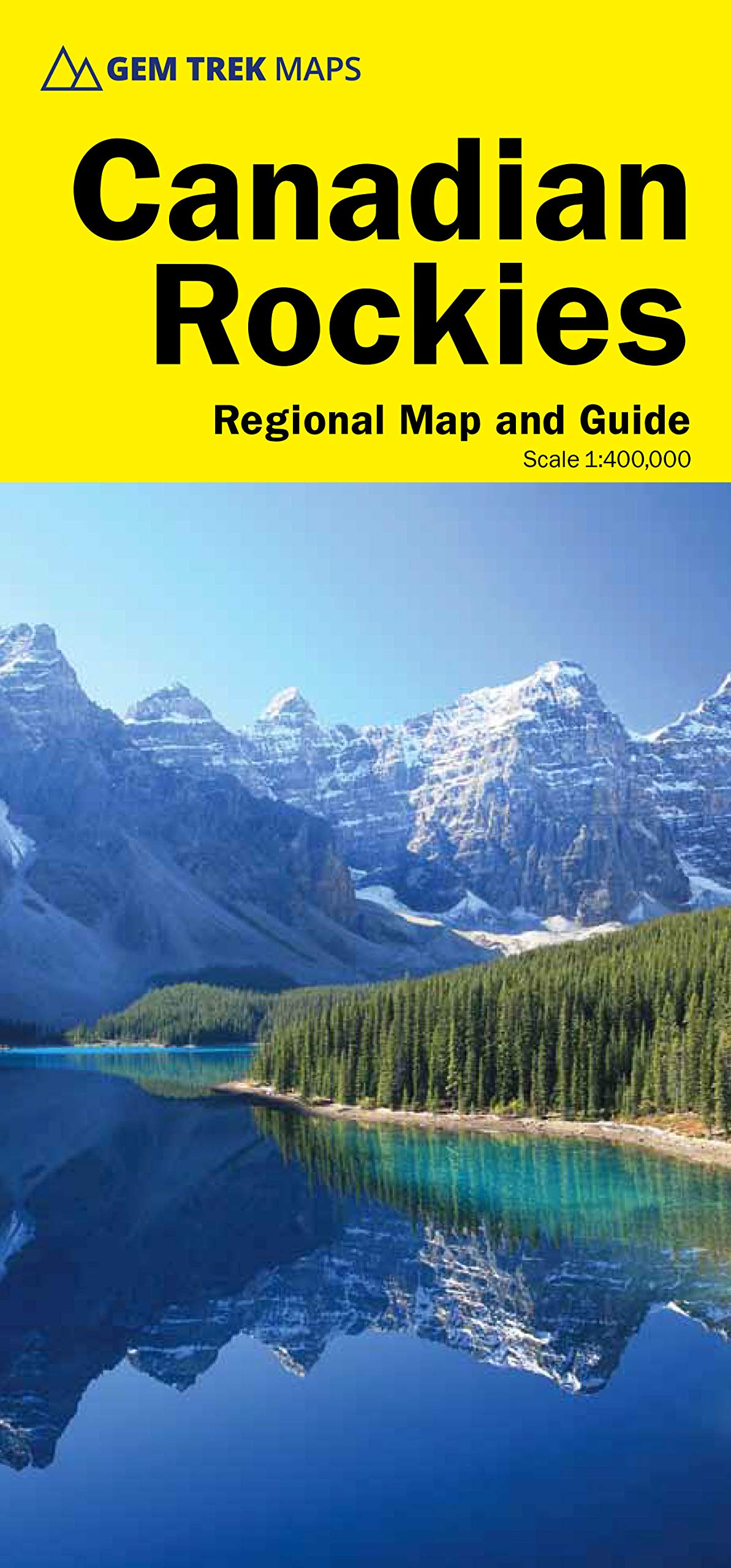
- Kootenay National Park Gem Trek Map
- Kootenay National Park in the Canadian Rockies at 1:100,000 on a contoured and GPS compatible, waterproof and tear-resistant map from Gem Trek Publishing, highlighting hiking trails, recreational areas, accommodation options, etc, plus on the reverse extensive tourist information including descriptions of recommended routes.The map provides a... Read more

Stanfords
United Kingdom
United Kingdom
- Best of Canmore Gem Trek
- Best of Camnore, a contoured and GPS compatible, waterproof and tear-resistant map/guide at 1:35,000 from Gem Trek, designed for people who are only going to be in Camnore for one to three days and want to know the highlights. On one side is a detailed, relief-shaded topographic map of the Canmore area, covering Canmore Nordic Centre Provincial... Read more
Bol.com
Netherlands
Netherlands
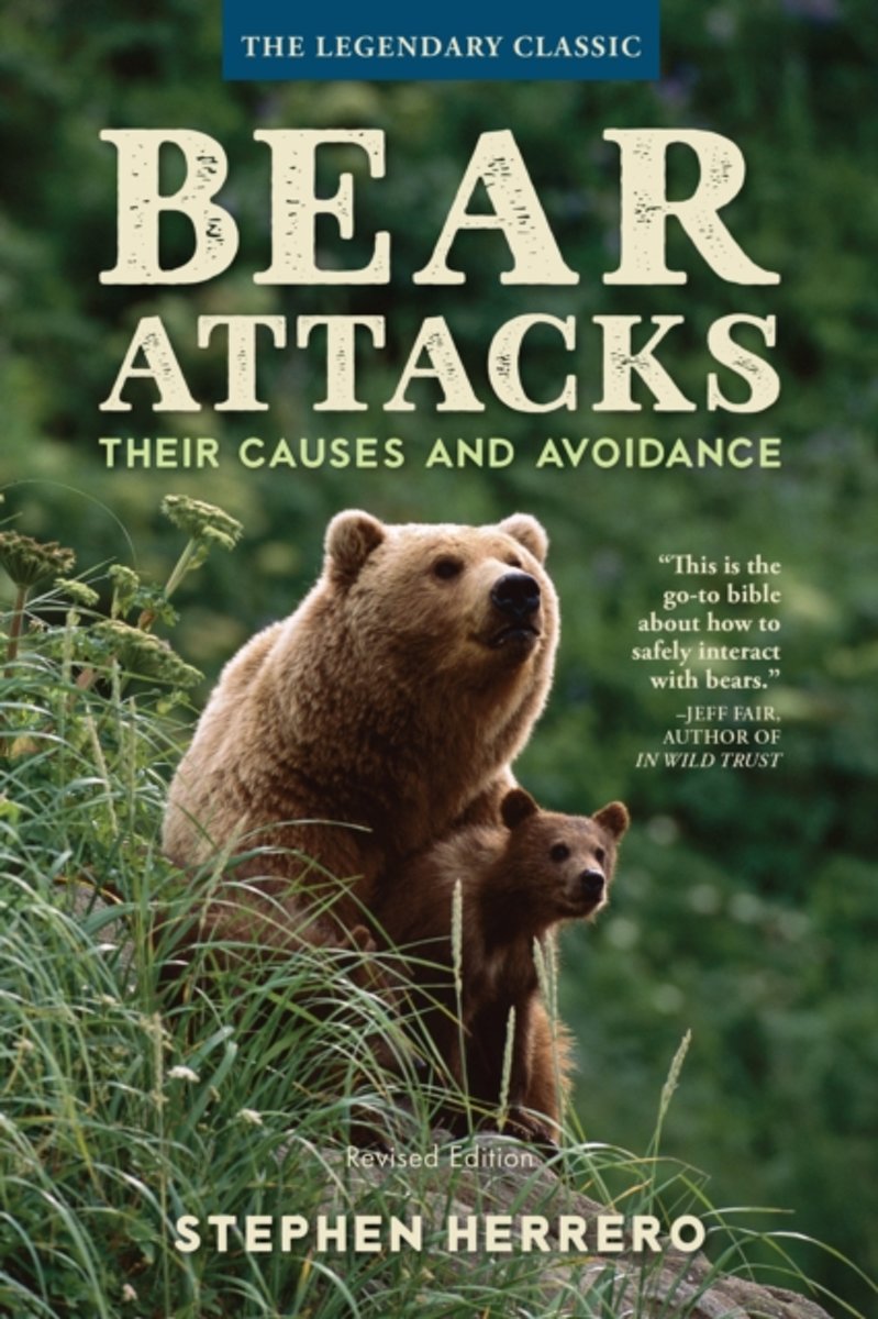
- Bear Attacks
- Alan Precup disappeared while backpacking in the Alaskan wilderness. Days later, searchers found his campsite. In the bushes about 150 feet away, they found Precup's bare skeleton, one intact hand, and both feet, still booted. In his camera were the exposed frames of the bear that killed him. Chris Dunkley and three friends were hiking in Banff... Read more
- Also available from:
- Bol.com, Belgium
Bol.com
Belgium
Belgium
- Bear Attacks
- Alan Precup disappeared while backpacking in the Alaskan wilderness. Days later, searchers found his campsite. In the bushes about 150 feet away, they found Precup's bare skeleton, one intact hand, and both feet, still booted. In his camera were the exposed frames of the bear that killed him. Chris Dunkley and three friends were hiking in Banff... Read more
Karten
De Zwerver
Netherlands
Netherlands
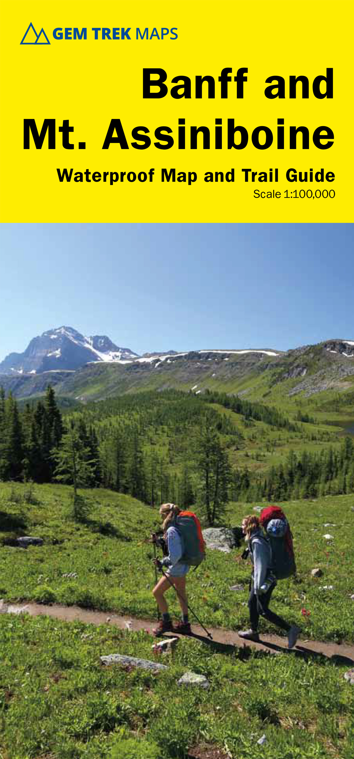
- Wandelkaart 05 Banff National Park and Mt. Assiniboine | Gem Trek Maps
- Banff - Mount Assiniboine area at 1:100,000 on a light, waterproof and tear-resistant map from Gem Trek Publishing in their series of detailed hiking maps of the Canadian Rockies. On the reverse are descriptions of several day hikes and overnight trips, plus plenty of other tourist information.The map covers the most popular hiking and mountain... Read more
- Also available from:
- Stanfords, United Kingdom

Stanfords
United Kingdom
United Kingdom
- Banff & Mount Assiniboine Gem Trek
- Banff - Mount Assiniboine area at 1:100,000 on a light, waterproof and tear-resistant map from Gem Trek Publishing in their series of detailed hiking maps of the Canadian Rockies. On the reverse are descriptions of several day hikes and overnight trips, plus plenty of other tourist information.The map covers the most popular hiking and mountain... Read more
De Zwerver
Netherlands
Netherlands
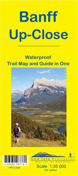
- Wandelkaart 11 Banff Up-Close | Gem Trek Maps
- Gem Trek Map-Guides Banff Up-Close (11) - This map-and-guide-in-one is designed for people who are only going to be in Banff for one to three days, and want to know what the highlights are and how to find them.On the front is a detailed relief-shaded topographic map of the Banff townsite area, from the Sundance and Sulphur Mountain areas in the... Read more
- Also available from:
- Stanfords, United Kingdom

Stanfords
United Kingdom
United Kingdom
- Banff Up-Close Gem Trek
- Banff town and the surrounding area on a contoured and GPS compatible, waterproof and tear-resistant map/guide at 1:35,000 from Gem Trek, designed for people who are only going to be in Banff for one to three days and want to know the highlights. On one side is a detailed, topographic map of the Banff village area, from the Sundance and Sulphur... Read more
De Zwerver
Netherlands
Netherlands
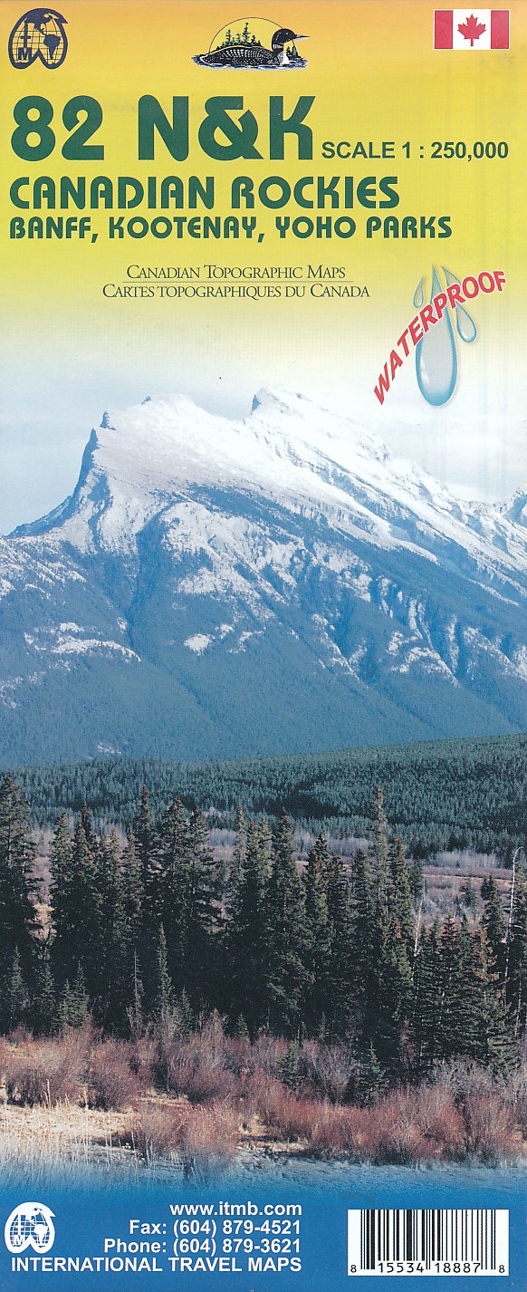
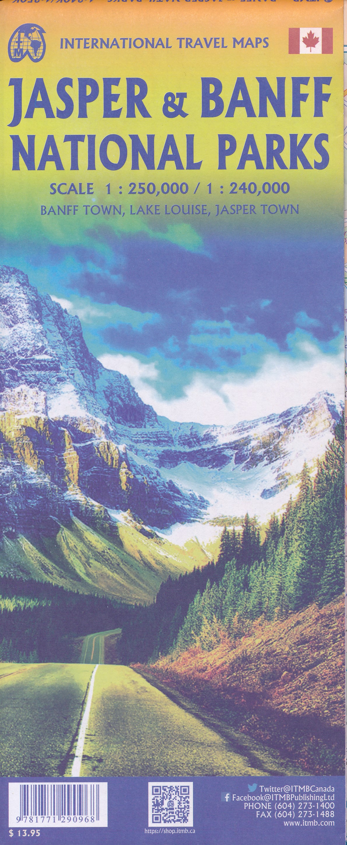
- Topografische kaart 82 N&K Canadian Rockies Banff, Kootenay, Yoho Parks | ITMB
- 1:250,000 scale, 1st Edition, 2008 – This is a fabulous map. The artwork consists of four complete Govt. of Canada Topographic maps (82J, K, N, and O) overprinted with hundreds of touristic attractions – camping sites, hiking trails, canoeing areas, wilderness lodges, youth hostels, golf courses – you name it, it's there. Coverage is from... Read more
- Also available from:
- Stanfords, United Kingdom

Stanfords
United Kingdom
United Kingdom
- Canadian Rockies - Banff - Kootenay - Yoho Parks ITMB
- Canadian Rockies: Banff, Kootenay and Yoho National Parks at 1:250,000 in a series of topographic survey maps of selected areas of British Columbia and the Canadian Rockies from ITMB with cartography from Canada’s national survey organization. Most sheets are printed on light, waterproof and tear- resistant plastic paper.Whilst the Canadian... Read more

De Zwerver
Netherlands
Netherlands
- Wandelkaart 03 Bow Lake and Saskatchewan Crossing | Gem Trek Maps
- Bow Lake - Saskatchewan Crossing region of the Canadian Rockies on a contoured and GPS compatible map at 1:70,000 from Gem Trek with an extension at 1:100,000 to include the Mosquito Creek – Fish Lakes area, plus extensive tourist information on recommended hikes, etc.The map shows trails departing from the southern section of the Icefields... Read more
- Also available from:
- Stanfords, United Kingdom

Stanfords
United Kingdom
United Kingdom
- Bow Lake & Saskatchewan Crossing Gem Trek Map
- Bow Lake - Saskatchewan Crossing region of the Canadian Rockies on a contoured and GPS compatible map at 1:70,000 from Gem Trek with an extension at 1:100,000 to include the Mosquito Creek – Fish Lakes area, plus extensive tourist information on recommended hikes, etc.The map shows trails departing from the southern section of the Icefields... Read more
De Zwerver
Netherlands
Netherlands
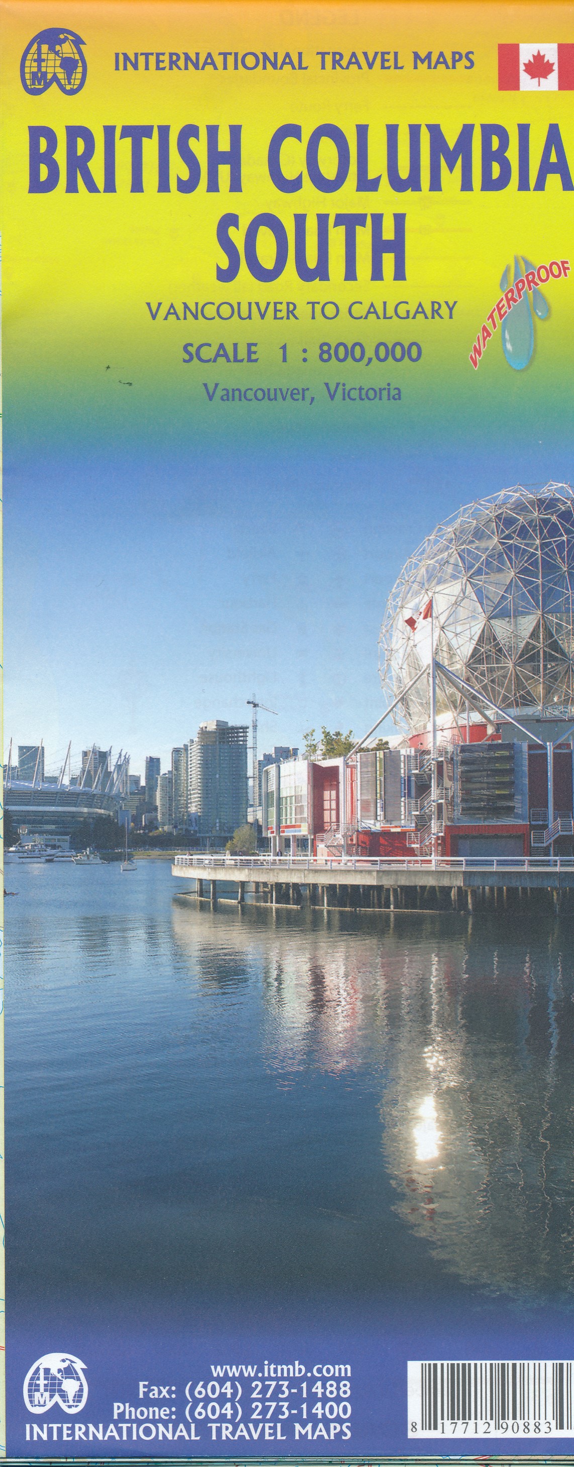
- Wegenkaart - landkaart British Columbia South (Canada) | ITMB
- Indexed double-sided road map at 1:900,000 from ITMB of the southern part of British Columbia, extending from Vancouver Island to Calgary to cover the whole of the Banff and Jasper National Parks, with plans of downtown Vancouver and Victoria. Coverage northwards extends to include the southern part of Haida Gwai (Queen Charlotte) Islands and... Read more
- Also available from:
- Stanfords, United Kingdom

Stanfords
United Kingdom
United Kingdom
- British Columbia South ITMB
- Indexed double-sided road map at 1:800,000 from ITMB of the southern part of British Columbia, extending from Vancouver Island to Calgary to cover the whole of the Banff and Jasper National Parks, with plans of downtown Vancouver and Victoria. Coverage northwards extends to include the southern part of Haida Gwai (Queen Charlotte) Islands and... Read more
De Zwerver
Netherlands
Netherlands
De Zwerver
Netherlands
Netherlands
De Zwerver
Netherlands
2020
Netherlands
2020
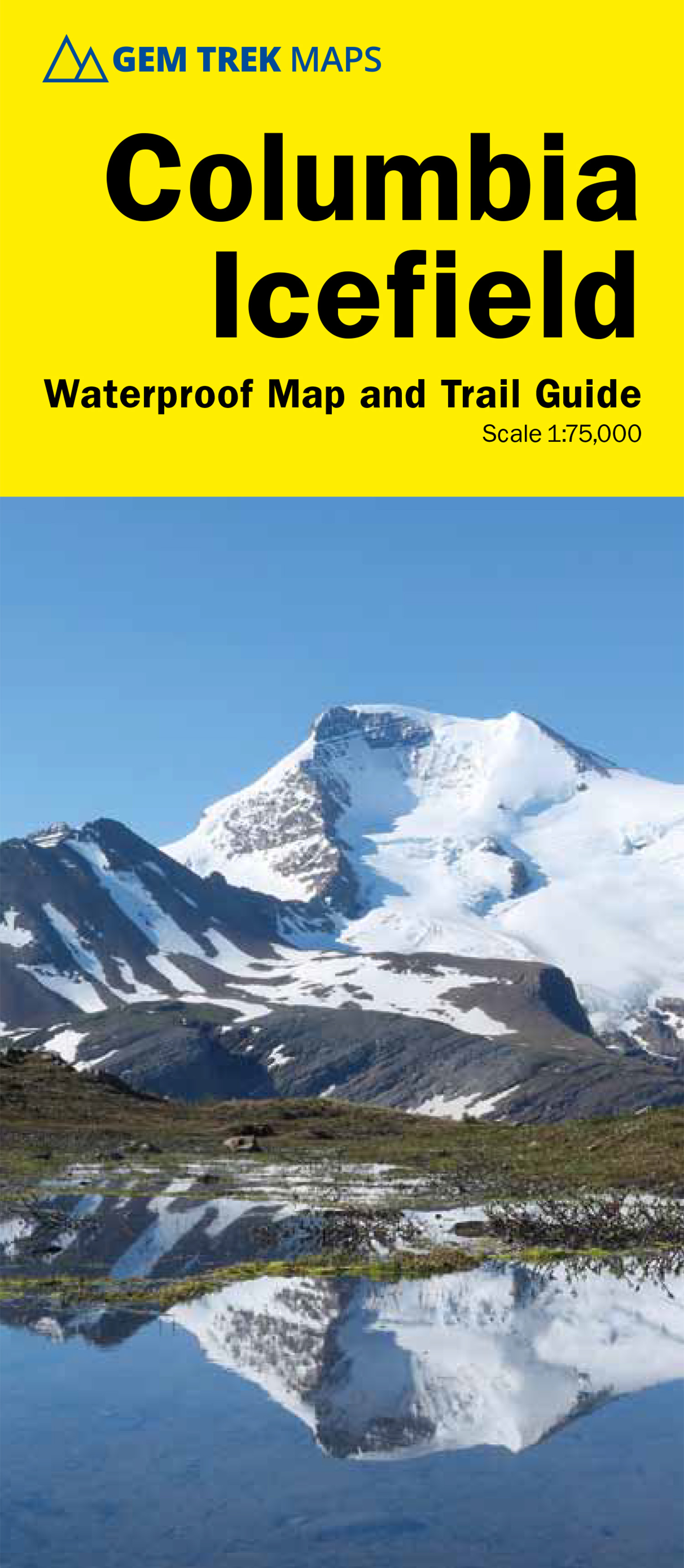
- Wandelkaart 02 Columbia Icefield | Gem Trek Maps
- Columbia Icefield spanning the border between the Banff and the Jasper National Parks in the Canadian Rockies on a contoured and GPS-compatible, waterproof and tear-resistant map at 1:75,000 from Gem Trek, with extensive tourist information including recommended hikes, geology, etc. Coverage extends along both sides of the Icefields Parkway... Read more
- Also available from:
- Stanfords, United Kingdom

Stanfords
United Kingdom
2020
United Kingdom
2020
- Columbia Icefield Gem Trek Map
- Columbia Icefield spanning the border between the Banff and the Jasper National Parks in the Canadian Rockies on a contoured and GPS-compatible, waterproof and tear-resistant map at 1:75,000 from Gem Trek, with extensive tourist information including recommended hikes, geology, etc. Coverage extends along both sides of the Icefields Parkway... Read more

Stanfords
United Kingdom
United Kingdom
- Kootenay Rockies - Calgary and Northern Montana Back Road Atlas
- South-eastern British Columbia with the adjoining regions of Alberta including the Banff and Jasper NP plus the border area of Montana with the Glacier NP presented at 1:250,000 in an A4 paperback road atlas with additional street plans, a listing of local events, etc.Mapping at 1:250,000 covers the areas indicated on our coverage image.... Read more

Stanfords
United Kingdom
United Kingdom
- British Columbia - Alberta FastTrack
- British Columbia and Alberta, including the Banff and Jasper National Parks, on an indexed, double-sided road map presenting both provinces together at 1:2,000,000, plus more detailed mapping of the region’s main urban areas including Vancouver, Victoria, Calgary, etc.On one side both provinces are shown together at 1:2m with their road network... Read more

Stanfords
United Kingdom
United Kingdom
- British Columbia FastTrack
- British Columbia, with coverage extending to Calgary to include the Banff and Jasper National Parks, on an indexed, waterproof and tear-resistant, handy size FastTrack map, presenting the whole province on two overlapping panels at 1:2,000,000, with more detailed enlargements and street plans covering the Vancouver at 1:1,275,000, the Victoria... Read more

Stanfords
United Kingdom
United Kingdom
- Alberta Pocket Road Atlas
- Pocket road atlas of Alberta presenting the whole province at 1:1,325,000, with numerous enlargement showing in more detail most visited areas, including Banff, Jasper, Canmore, Calgary, Edmonton, etc. The index includes a listing of the province’s national and provincial parks.Road network indicates loose surface and unimproved roads, showing... Read more