Te Araroa
Beschreibung
- Name Te Araroa
- Länge von Wanderweg 3,000 km, 1,864 Meilen
- Länge in Tagen 300 Tage
- Anfang von Wanderweg Cape Reinga
- Ende von Wanderweg Bluff
- Traildino Schwierigkeit SW, Anspruchsvolle Wanderung, Bergwanderung
- Schwierigkeitsgrad Berg- und Alpinwanderung T2, Bergwandern
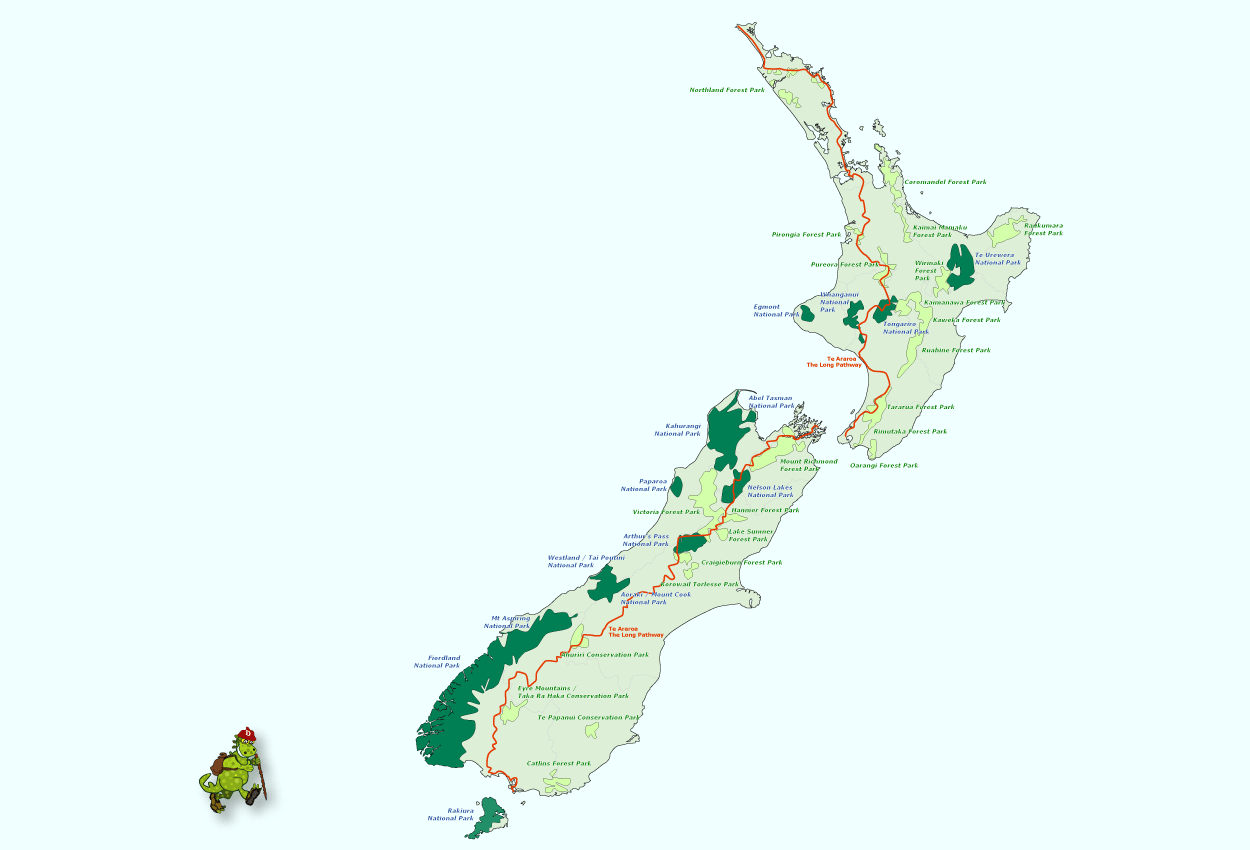
Te Araroa / The Long Pathway: This tramp is gonna be one of the longest in the world, and certainly by far the longest of New Zealand. All the way from Cape Reinga in the north to Bluff in the south, the trail will extend for 3000 km. The trail knits ma-ny shorter well known tracks together. In North Island it follows part of the east and west coast. In South Island the trail is on the spine of the island. For the most, the trail is ready. It should be complete by the end of 2010.
Select some tracks
☐.Te Araroa - 04 Manawatū-Whanganui - m Old West Road (SH57), Palmerston North to Gladstone and Poads Rds, Levin, 61km
☐Te Araroa - NI Low tide, 3.9km
☐Te Araroa alternative route, 10km
☐Te Araroa - alternative route, 11km
☐Te Araroa alternative route, 7.6km
☐Te Araroa alternative route, 4.9km
☐Te Araroa Trail - 01 Northland, 432km
☐Te Araroa 06 Wellington
☐Te Araroa 06 Wellington
☐Te Araroa 05 Manawatu
☐Te Araroa - 05 Manawatu
☐Te Araroa - alternative route, 1.7km
☐Te Araroa - alternative route, 16km
☐Te Araroa - 02 Auckland - f Wenderholm / Waiwera to Stillwater, 16km
☐Te Araroa - altenative - Mangatawhiri to Mercer, 12km
☐Te Araroa - alternative Mangatawhiri to Mercer, 8.6km
☐Te Araroa - alternative Drury to Rangariri, 61km
☐Te Araroa - extreme weather alternative from Camp Elsdon, Porirua, 6.8km
☐Te Araroa Trail
☐Te Araroa - 10 Otago - alt, 39km
☐Te Araroa - 10 Otago - facilities, 3.8km
Karte
Links
Fakten
Berichte
Führer und Karten
Übernachtung
Organisationen
Reisebüros
GPS
Sonstiges
Bücher

The Book Depository
United Kingdom
United Kingdom
- Between Each Step
- A Married Couple's Thru Hike On New Zealand's Te Araroa Read more

The Book Depository
United Kingdom
United Kingdom
- Wanderful New Zealand
- Hiking the 3,000 kilometre Te Araroa Trail Read more

Bol.com
Netherlands
Netherlands
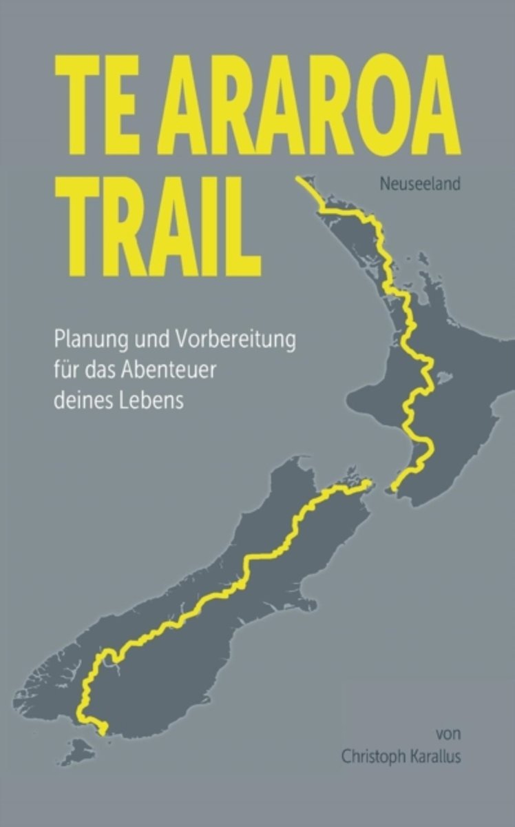
- Te Araroa Trail
- Der Te Araroa Trail zahlt zu den schonsten Fernwanderwegen der Welt. Atemberaubende Landschaften, grossartige Menschen und die korperliche Herausforderung machen diesen Weg zu einem unvergesslichen Erlebnis. Damit dieses Abenteuer ein voller Erfolg wird, empfiehlt sich eine ausfuhrliche Vorbereitung. Christoph Karallus spricht aus eigener... Read more
- Also available from:
- Bol.com, Belgium

Bol.com
Belgium
Belgium
- Te Araroa Trail
- Der Te Araroa Trail zahlt zu den schonsten Fernwanderwegen der Welt. Atemberaubende Landschaften, grossartige Menschen und die korperliche Herausforderung machen diesen Weg zu einem unvergesslichen Erlebnis. Damit dieses Abenteuer ein voller Erfolg wird, empfiehlt sich eine ausfuhrliche Vorbereitung. Christoph Karallus spricht aus eigener... Read more
- Also available from:
- Bol.com, Netherlands
- Bol.com, Belgium

Bol.com
Netherlands
Netherlands
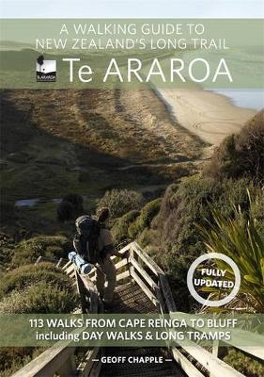
- A Walking Guide To New Zealand's Long Trail
- The official guide to New Zealand's greatest walk. This is the guidebook of Te Araroa Trail- The Long Pathway, a continuous trail running from Cape Reinga to Bluff, 35 years in the making, which officially opened in late 2011. The book maps the 3000-kilometre trail in 40-kilometre sections, with maps by leading map maker Roger Smith of... Read more

Bol.com
Belgium
Belgium
- A Walking Guide To New Zealand's Long Trail
- The official guide to New Zealand's greatest walk. This is the guidebook of Te Araroa Trail- The Long Pathway, a continuous trail running from Cape Reinga to Bluff, 35 years in the making, which officially opened in late 2011. The book maps the 3000-kilometre trail in 40-kilometre sections, with maps by leading map maker Roger Smith of... Read more
Karten

Stanfords
United Kingdom
United Kingdom
- Marlborough Sounds: Queen Charlotte Track
- Queen Charlotte Track in the Marlborough Sounds, part of the Te Araroa long-distance trail, at 1:75,000 in a series of contoured and GPS compatible maps from NewTopo NZ Ltd, with exceptionally vivid presentation of the terrain, routes clearly highlighted and symbols to show locations of various facilities. The overprint highlights the course of... Read more


