Peru
Beschreibung
Located on the west coast of South America, facing the Pacific Ocean lies Peru. Dominant feature is the Andes mountain range, running parallel to the coast, in a roughly north-south direction. Geographically, Peru can be divided in three: a narrow coastal strip in the west, a vast area of Amazon tropical rainforest in the east and northeast, and in between the highlands of the Andes with its Altiplano, glaciers, lakes, remote valleys and snowy peaks including Peru's highest: Huascaran (6768 m).
Peru's most famous and popular hiking trail is the 4-day Inca Trail from Chillca to Machu Picchu. So popular in fact, that the government has put a limit to the number of travelers allowed on the trail each day, so you need to book through a licensed touroperator months in advance to get a permit, guide, porters etc. Yet, it remains a beautiful trail through stunning high altitude scenery, past Inca monuments and ruins, culminating in the final destination of ancient Machu Picchu.
Trying to avoid the crowds, a number of alternative trails to Machu Picchu have emerged. There is the Salkantay trail, 5 days and slightly more demanding. Another option is the more strenuous 8-day trail from Cachora via Choquequirao to Machu Picchu. Whichever trail you choose, the city of Cusco is your central starting point, home base of most local operators, and the place to acclimatize to high altitude for a day or two before setting out. Some other treks in the Cusco and Machu Picchu area are the Lares Valley trek, the Vilcabamba trek, the Ancascocha trek, the Huchuy Qosqo trek, and the Ausangate circular trek.
But Peru has more to offer. Another wonderful area for hiking are the Cordillera Blanca of Huaraz, further north. Most popular here is the 5-day Santa Cruz trek, and there is the more strenuous 12-day Alpamayo trek. In the same area you will find the Cordillera Huayhuash trek. Another possibility is the region around Arequipa, featuring the volcano El Misti (5830 m) and the Colca Canyon.
Long distance hiking in Peru means camping en route, and high altitudes to which you need to acclimatize for a few days before setting out.
Wanderwege
Regionen
Berge
Links
Fakten
Berichte
Führer und Karten
Übernachtung
Organisationen
Reisebüros
GPS
Sonstiges
Bücher

United Kingdom
2020
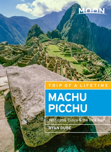
- Moon Machu Picchu (Fifth Edition)
- With Lima, Cusco & the Inca Trail Read more
- Also available from:
- De Zwerver, Netherlands
Netherlands
2020
- Reisgids Machu Picchu - Peru | Moon Travel Guides
- With Lima, Cusco & the Inca Trail Read more
- Also available from:
- De Zwerver, Netherlands
Netherlands
2018
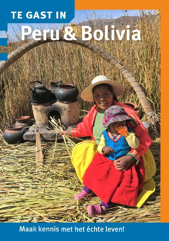
- Reisgids Te gast in Peru en Bolivia | Informatie Verre Reizen
- Deze editie van Te Gast In Peru & Bolivia bevat verhalen van diverse auteurs die er langere tijd gewoond of gereisd hebben. Een inspirerende uitgave om alvast in de vakantiesfeer te komen en je in te leven in de cultuur van de lokale bevolking. Een handzaam en compact boekje dat vlot weg leest. Onderwerpen die in deze editie aan bod komen zijn... Read more
Netherlands
2018
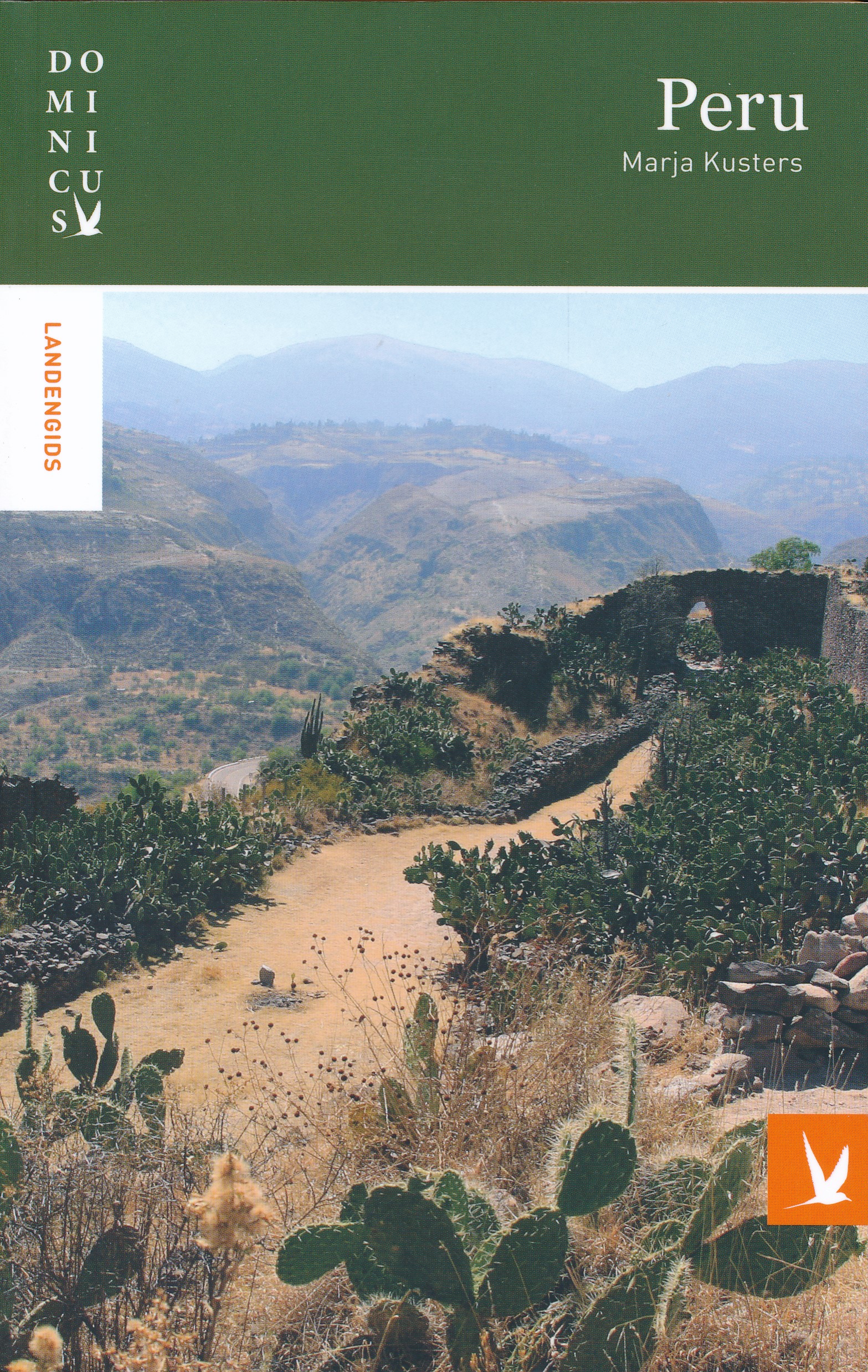
- Reisgids Dominicus Peru | Gottmer
- Goede degelijke gids die vooral uitblinkt in diepgaande beschrijvingen van cultuur en bevolking. Natuur komt minder aan bod. Veel illustraties en kaartjes. Peru is een land van extremen. Landschappen variëren van een woestijnachtige droogte tot uitgestrekte regenwouden en de hoge toppen van het Andesgebergte. Ook de bevolking is divers: die... Read more
Netherlands
2018
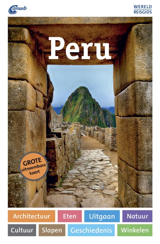
- Reisgids ANWB Wereldreisgids Peru | ANWB Media
- De ANWB Wereldreisgids Peru is een complete en praktische reisgids voor jouw droomvakantie door Peru. Het land is er één van grote contrasten: de kale kustwoestijn aan de koude Grote Oceaan met zijn vruchtbare rivierdalen, de ruige bergen van de Andes en het tropische laagland van de Amazone. Natuurlijk mag een bezoek aan Cusco, Machu Picchu en... Read more
Netherlands
2016
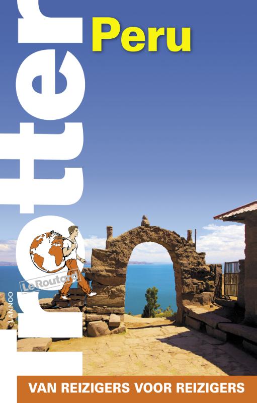
- Reisgids Trotter Peru | Lannoo
- Veel aandacht voor praktische informatie als hotels en restaurants, maar ook beschrijvingen van bezienswaardigheden. Handig zijn de vele plattegronden: verrassend en verfrissend geschreven! - Het echte verhaal achter de klassieke trekpleisters - Tips om de verborgen parels buiten de platgetreden paden te verkennen - Verrassende anekdotes en... Read more

Netherlands
2019
- Wandelgids Peru | Rother Bergverlag
- Uitstekende wandelgids met een groot aantal dagtochten in dal en hooggebergte. Met praktische informatie en beperkt kaartmateriaal! Wandelingen in verschillende zwaarte weergegeven in rood/blauw/zwart. 62 Höhenprofile, 62 Wanderkärtchen im Maßstab 1:25.000 bis 1:200.000, zwei Übersichtskarten Kaum ein anderes lateinamerikanisches Land weist... Read more
Karten
Netherlands
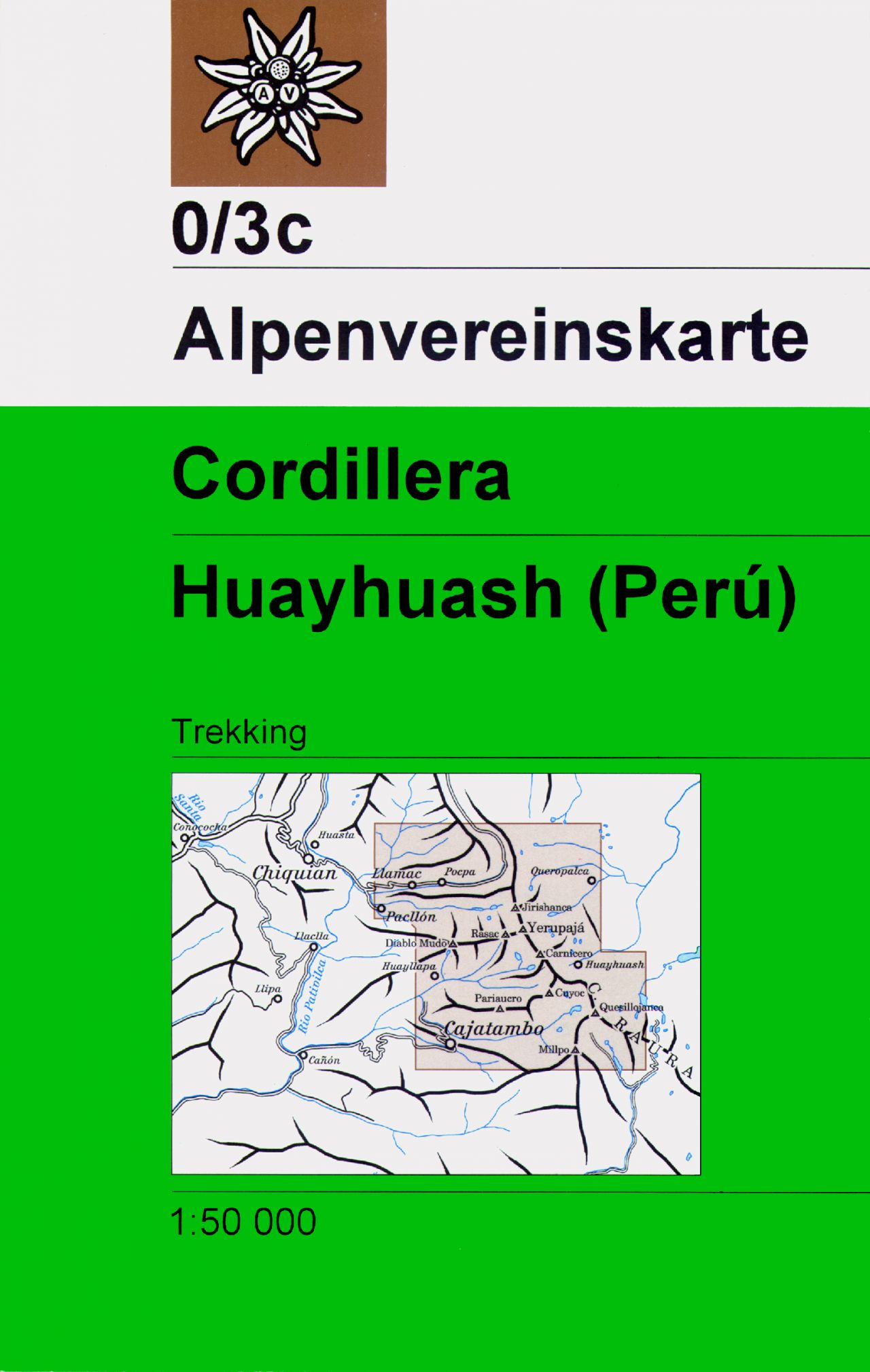
- Wandelkaart 0/3c Alpenvereinskarte Cordillera - Huayhuash - Peru | Alpenverein
- Zeer gedetailleerde kaarten: wandelroutes hebben naar gelang de zwaarte onderscheidende markeringen, gletsjerpassen staan aangegeven en de verschillende soorten hutten zijn ingetekend. De grondlaag van deze kaarten wordt gevormd door topografische kaarten, waardoor deze kaarten heel waardevol zijn voor elke beginnende en gevorderde wandelaar of... Read more
Netherlands
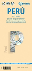
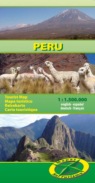
- Wegenkaart - landkaart Peru | Borch
- Laminated, waterproof tourist map of Peru with street plans of Lima, Cuzco, Arequipa, Ayacucho and Trujillo, plus plans of the main archaeological sites. The map is double-sided, dividing the main part of the country north/south at 1:1,750,000, with the Amazon region shown at 1:2,500,000. Bold hill-shading indicates the relief, with selected... Read more
- Also available from:
- Stanfords, United Kingdom

United Kingdom
- Peru Borch
- Laminated, waterproof tourist map of Peru with street plans of Lima, Cuzco, Arequipa, Ayacucho and Trujillo, plus plans of the main archaeological sites. The map is double-sided, dividing the main part of the country north/south at 1:1,750,000, with the Amazon region shown at 1:2,500,000. Bold hill-shading indicates the relief, with selected... Read more
.jpg)
Netherlands
- Wegenkaart - landkaart Peru | ITMB
- Carte routière en couleur utile pour les voyageurs. Textes en anglais uniquement. Read more
Netherlands
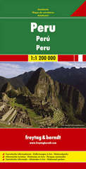
- Wegenkaart - landkaart Peru | Freytag & Berndt
- Peru 1 : 1 000 000. Autokarte ab 10.9 EURO Touristische Informationen. Entfernungen in km. Nationalparks Freytag & Berndt Autokarte. Neuauflage Read more

United Kingdom
- Ancash
- One of the titles in a series of maps of the administrative departments of Peru, with topography shown by altitude colouring and spot heights. Most maps also indicate cultivated areas. Scales vary considerably, given different sizes of the departments. Railways and four different types of roads and dirt tracks are shown, as well as local... Read more

United Kingdom
- Huanuco
- One of the titles in a series of maps of the administrative departments of Peru, with topography shown by altitude colouring and spot heights. Most maps also indicate cultivated areas. Scales vary considerably, given different sizes of the departments. Railways and four different types of roads and dirt tracks are shown, as well as local... Read more

United Kingdom
- Tacna
- One of the titles in a series of maps of the administrative departments of Peru, with topography shown by altitude colouring and spot heights. Most maps also indicate cultivated areas. Scales vary considerably, given different sizes of the departments. Railways and four different types of roads and dirt tracks are shown, as well as local... Read more

United Kingdom
- Admiralty Chart 3084 - Ports on the Coast of Peru
- Plans included:Bahia Pisco 1:100,000Matarani 1:10,000Admiralty standard nautical charts comply with Safety of Life at Sea (SOLAS) regulations and are ideal for professional, commercial and recreational use. Charts within the series consist of a range of scales, useful for passage planning, ocean crossings, coastal navigation and entering... Read more

United Kingdom
- Ayacucho
- One of the titles in a series of maps of the administrative departments of Peru, with topography shown by altitude colouring and spot heights. Most maps also indicate cultivated areas. Scales vary considerably, given different sizes of the departments. Railways and four different types of roads and dirt tracks are shown, as well as local... Read more

United Kingdom
- Junin
- One of the titles in a series of maps of the administrative departments of Peru, with topography shown by altitude colouring and spot heights. Most maps also indicate cultivated areas. Scales vary considerably, given different sizes of the departments. Railways and four different types of roads and dirt tracks are shown, as well as local... Read more


.jpg)
