
Pennsylvania
Beschreibung
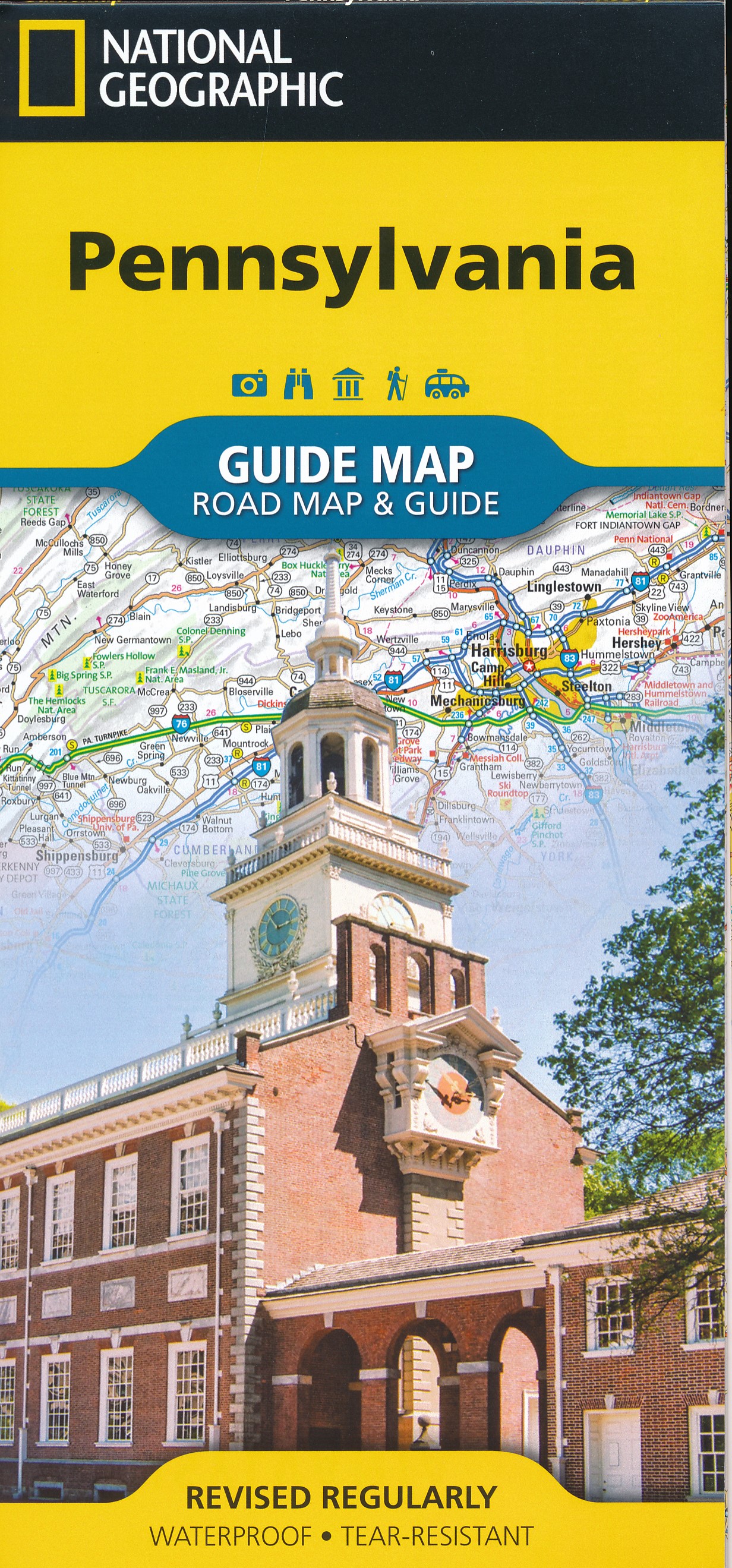
Pennsylvania probably has the largest trail system of the eastern states. The terrain is varied and includes high plains and mountain ridges.
Of the Appalachian Trail, 230 miles are within this state.
Many longer and shorter trails can be found in Pennsylvania. The Mason-Dixon Trail (190 miles), the Mid State Trail (319 miles), the Baker Trail (140 miles), the Horse Shoe Trail (134 miles), the Tuscarora Trail (252 miles), the Great Allegheny Passage (318 miles) and the Highlands Trail.
Some of the American long distance trails pass through Pennsylvania: the North Country Trail, East Coast Greenway, Eastern Continental Trail and the Great Eastern Trail.
There are many smaller state forests. A large one is the Allegheny National Forest, located on the hilly Allegheny Plateau.
Karte

Wanderwege Landesteil
Links
Fakten
Berichte
Führer und Karten
Übernachtung
Organisationen
Reisebüros
GPS
Sonstiges
Bücher

United Kingdom
- Footprints on the Mountains
- Hiking the Appalachian Trail from Georgia to Maine Read more


United Kingdom
2020
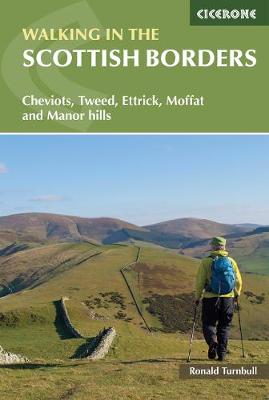
- Walking in the Scottish Borders
- Cheviots, Tweed, Ettrick, Moffat and Manor hills Read more
- Also available from:
- De Zwerver, Netherlands
- Stanfords, United Kingdom
Netherlands
2020
- Wandelgids Walking in the Scottish Borders | Cicerone
- This guidebook provides 45 day walks in the Scottish Borders. Separated into six sections, these walks are divided between the north and south Cheviots, Tweed, Ettrick, Moffat and Manor hills and feature main centres including Wooler, Kelso, Melrose, Peebles and Moffat. The guide`s seventh section outlines long distance routes, including a... Read more

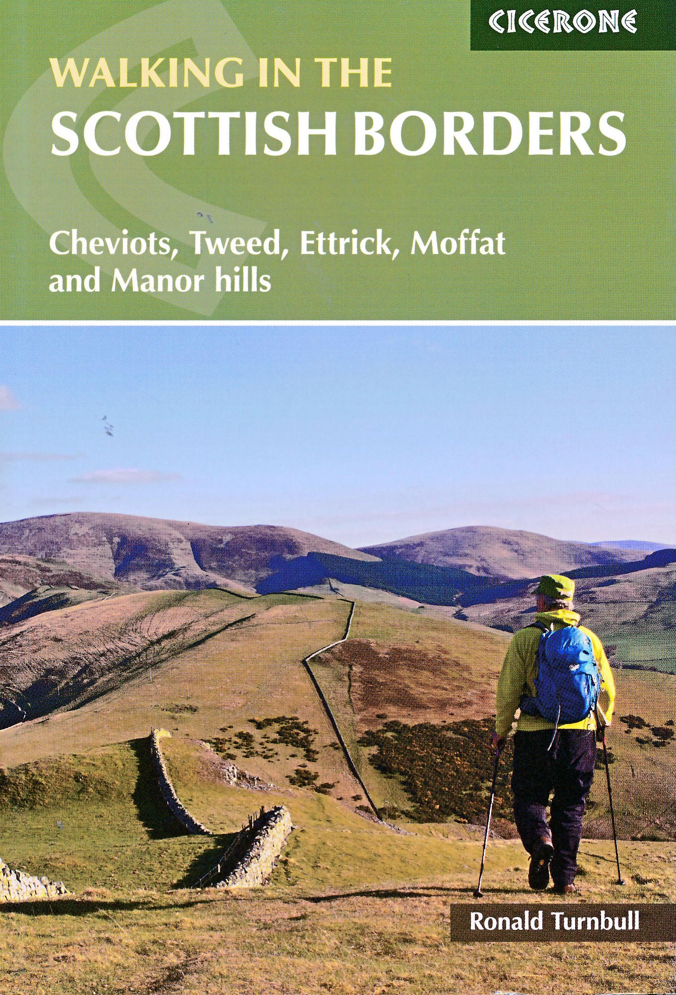
United Kingdom
2020
- Walking in the Scottish Borders: Cheviots, Tweed, Ettrick, Moffat and Manor hills
- This guidebook provides 45 day walks in the Scottish Borders. Separated into six sections, these walks are divided between the north and south Cheviots, Tweed, Ettrick, Moffat and Manor hills and feature main centres including Wooler, Kelso, Melrose, Peebles and Moffat. The guide`s seventh section outlines long distance routes, including a... Read more


United Kingdom
2019
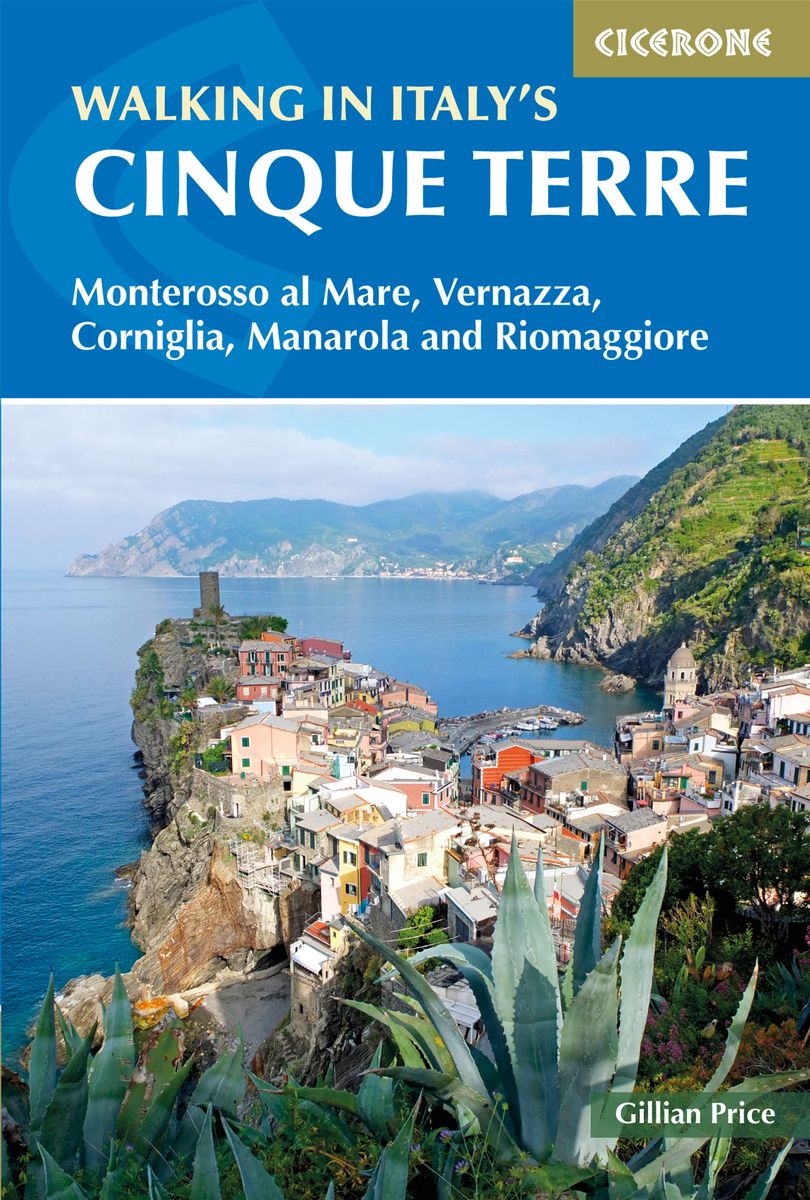
- Walking in Italy's Cinque Terre
- Monterosso al Mare, Vernazza, Corniglia, Manarola and Riomaggiore Read more
- Also available from:
- De Zwerver, Netherlands
Netherlands
2019
- Wandelgids Walking in Italy's Cinque Terre | Cicerone
- Guidebook to walking Italy's stunning Cinque Terre. Describes 16 routes in and around the five famous fishing villages of Monterosso, Vernazza, Corniglia, Manarola and Riomaggiore. Breathtakingly beautiful, this UNESCO World Heritage coastline is a walker's (and foodie's) dream destination. Read more


United Kingdom
- Brother Blood on the Appalachian Trail
- Thru & Through: An Appalachian Trail Journey Read more

United Kingdom
- Hiking the Carolina Mountains
- Appalachian Trail, Blue Ridge Parkway, DuPont State Forest, Great Smoky Mountains National Park, Pisgah & Nantahala National Forests, Upstate South Carolina and Much More Read more


United Kingdom
- Chicas on the Appalachian Trail
- Women-Specific Tips for Thru-Hiking the Appalachian Trail and Conversations with Badass Women Hikers Read more

United Kingdom
- Happy Hiker
- The Epic Journey of an Unlikely Appalachian Trail Thru-Hiker Read more

Karten

United Kingdom
2018
- Ben Nevis and Glen Coe
- Waterproof mountain map of Ben Nevis & Glen Coe from Harvey at 1:40,000, with a geological map of the region on the reverse, an enlargement of Ben Nevis' summit, and advice on navigating the region safely.MAIN MAP: Topography is shown through clear altitude shading, spot heights, contours at 15m intervals, and index contours at 75m intervals. A... Read more
- Also available from:
- De Zwerver, Netherlands
- Stanfords, United Kingdom

Netherlands
2018
- Wandelkaart Ben Nevis & Glen Coe | Harvey Maps
- Waterproof mountain map of Ben Nevis & Glen Coe from Harvey at 1:40,000, with a geological map of the region on the reverse, an enlargement of Ben Nevis' summit, and advice on navigating the region safely.MAIN MAP: Topography is shown through clear altitude shading, spot heights, contours at 15m intervals, and index contours at 75m intervals. A... Read more

United Kingdom
2018
- Ben Nevis & Glen Coe Harvey British Mountain Map XT40
- Waterproof mountain map of Ben Nevis & Glen Coe from Harvey at 1:40,000, with a geological map of the region on the reverse, an enlargement of Ben Nevis` summit, and advice on navigating the region safely.*MAIN MAP:* Topography is shown through clear altitude shading, spot heights, contours at 15m intervals, and index contours at 75m intervals.... Read more

- Also available from:
- De Zwerver, Netherlands
- Stanfords, United Kingdom


United Kingdom
- Glocknergruppe - Matrei - Kals - Heiligenblut Tabacco 076
- This Tabacco topographic map at 1:25,000 (1cm = 250m) covers the Alta Via routes, as well as the Via Ferrata where you get further than the ordinary walker with the help of steel ladders. Additional information includes: symbols to indicate 6 different types of accommodation from mountain hut, hotel to camping site. As well as information on... Read more

- Also available from:
- Stanfords, United Kingdom

United Kingdom
- Delaware Water Gap NJ/PA
- Map No. 737, Delaware Water Gap between Pennsylvania and New Jersey at 1:40,000, in an extensive series of GPS compatible, contoured hiking maps of USA’s national and state parks or forests and other popular recreational areas. Cartography is based on the national topographic survey, with additional tourist information.The maps, with most... Read more

United Kingdom
- Ganesh Himal 2885-09
- Ganesh Himal, sheet no. 2885-09, in the topographic survey of Nepal at 1:50,000 published by the Nepali Government in the late 1990s and early 2000s and produced from remote sensing data by Finnish cartographers as part of that country’s international aid program. The maps cover 15’ x 15’ quadrangles.IMPORTANT – PLEASE NOTE BEFORE ORDERING:... Read more
United Kingdom
- Dunai
- Dunai, sheet no. 2882-04, in the topographic survey of Nepal at 1:50,000 published by the Nepali Government in the late 1990s and early 2000s and produced from remote sensing data by Finnish cartographers as part of that country’s international aid program. The maps cover 15’ x 15’ quadrangles.IMPORTANT – PLEASE NOTE BEFORE ORDERING:... Read more
United Kingdom
- Lower Dudh Kosi - Okhaldhunga
- Lower Dudh Kosi - Okhaldhunga, sheet no. 2786-11, in the topographic survey of Nepal at 1:50,000 published by the Nepali Government in the late 1990s and early 2000s and produced from remote sensing data by Finnish cartographers as part of that country’s international aid program. The maps cover 15’ x 15’ quadrangles.IMPORTANT – PLEASE NOTE... Read more
United Kingdom
- Khin
- Khin, sheet no. 2981-12, in the topographic survey of Nepal at 1:50,000 published by the Nepali Government in the late 1990s and early 2000s and produced from remote sensing data by Finnish cartographers as part of that country’s international aid program. The maps cover 15’ x 15’ quadrangles.IMPORTANT – PLEASE NOTE BEFORE ORDERING:... Read more
United Kingdom
- Dorle Pahad
- Dorle Pahad, sheet no. 2885-16, in the topographic survey of Nepal at 1:50,000 published by the Nepali Government in the late 1990s and early 2000s and produced from remote sensing data by Finnish cartographers as part of that country’s international aid program. The maps cover 15’ x 15’ quadrangles.IMPORTANT – PLEASE NOTE BEFORE ORDERING:... Read more
United Kingdom
- Namrun
- Namrun, sheet no. 2884-08, in the topographic survey of Nepal at 1:50,000 published by the Nepali Government in the late 1990s and early 2000s and produced from remote sensing data by Finnish cartographers as part of that country’s international aid program. The maps cover 15’ x 15’ quadrangles.IMPORTANT – PLEASE NOTE BEFORE ORDERING:... Read more
United Kingdom
- Damodar Kunda
- Damodar Kunda, sheet no. 2984-13, in the topographic survey of Nepal at 1:50,000 published by the Nepali Government in the late 1990s and early 2000s and produced from remote sensing data by Finnish cartographers as part of that country’s international aid program. The maps cover 15’ x 15’ quadrangles.IMPORTANT – PLEASE NOTE BEFORE ORDERING:... Read more
United Kingdom
- Sabha Khola - Chainpur
- Sabha Khola - Chainpur, sheet no. 2787-10, in the topographic survey of Nepal at 1:50,000 published by the Nepali Government in the late 1990s and early 2000s and produced from remote sensing data by Finnish cartographers as part of that country’s international aid program. The maps cover 15’ x 15’ quadrangles.IMPORTANT – PLEASE NOTE BEFORE... Read more
United Kingdom
- Chala Bhanjyan
- Chala Bhanjyan, sheet no. 2983-06, in the topographic survey of Nepal at 1:50,000 published by the Nepali Government in the late 1990s and early 2000s and produced from remote sensing data by Finnish cartographers as part of that country’s international aid program. The maps cover 15’ x 15’ quadrangles.IMPORTANT – PLEASE NOTE BEFORE ORDERING:... Read more
United Kingdom
- Likhu Khola - Those
- Likhu Khola - Those, sheet no. 2786-06, in the topographic survey of Nepal at 1:50,000 published by the Nepali Government in the late 1990s and early 2000s and produced from remote sensing data by Finnish cartographers as part of that country’s international aid program. The maps cover 15’ x 15’ quadrangles.IMPORTANT – PLEASE NOTE BEFORE... Read more