
Hochalmspitze
Beschreibung
- Höhe 3360.00 m
Links
Fakten
Berichte
Führer und Karten
Übernachtung
Organisationen
Reisebüros
GPS
Sonstiges
Bücher
Bol.com
Netherlands
2013
Netherlands
2013
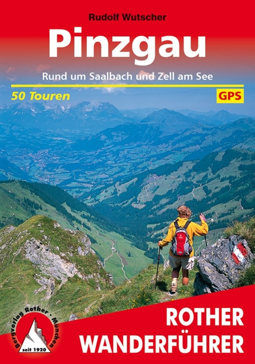
- Pinzgau, Saalbach und Zell am See
- Das Pinzgau rund um Saalbach/Hinterglemm und Zell am See ist eine der bedeutendsten Wintersportregionen sterreichs im Sommer ist es dort wesentlich ruhiger und Wanderer k nnen viele herrliche Ziele entdecken. Der Rother Wanderf hrer Pinzgau stellt die 50 sch ne Wanderungen und Bergtouren rund um Saalbach und Zell am See, Kaprun und... Read more
- Also available from:
- Bol.com, Belgium
Bol.com
Belgium
2013
Belgium
2013
- Pinzgau, Saalbach und Zell am See
- Das Pinzgau rund um Saalbach/Hinterglemm und Zell am See ist eine der bedeutendsten Wintersportregionen sterreichs im Sommer ist es dort wesentlich ruhiger und Wanderer k nnen viele herrliche Ziele entdecken. Der Rother Wanderf hrer Pinzgau stellt die 50 sch ne Wanderungen und Bergtouren rund um Saalbach und Zell am See, Kaprun und... Read more
Karten
De Zwerver
Netherlands
Netherlands
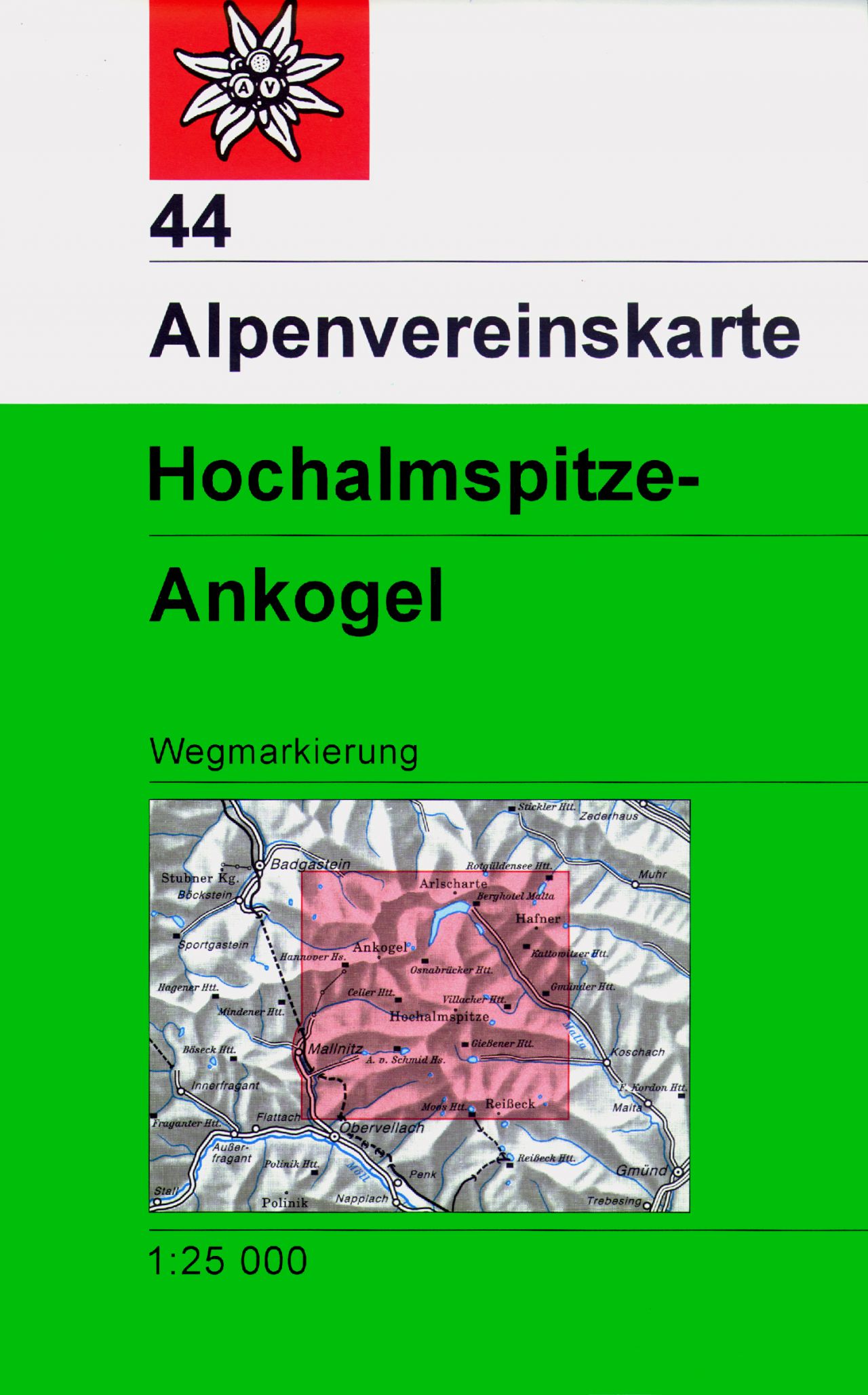
- Wandelkaart 44 Alpenvereinskarte Hochalmspitze - Ankogel | Alpenverein
- Hochalmspitze - Ankogel area of the Alps in a combined hiking and ski edition at 1:25,000 from a series of detailed, GPS compatible maps published by the DAV - Deutscher Alpenverein and produced by the German and Austrian Alpine Clubs using cartography from their respective survey organizations. Maps in this series have topography vividly... Read more
- Also available from:
- Stanfords, United Kingdom

Stanfords
United Kingdom
United Kingdom
- Hochalmspitze - Ankogel Alpenverein Map 44
- Hochalmspitze - Ankogel area of the Alps in a combined hiking and ski edition at 1:25,000 from a series of detailed, GPS compatible maps published by the DAV - Deutscher Alpenverein and produced by the German and Austrian Alpine Clubs using cartography from their respective survey organizations. Maps in this series have topography vividly... Read more