Bayern
Beschreibung
Wanderwege Landesteil
- AlemannenwegGPX
- Alpen Weitwanderweg
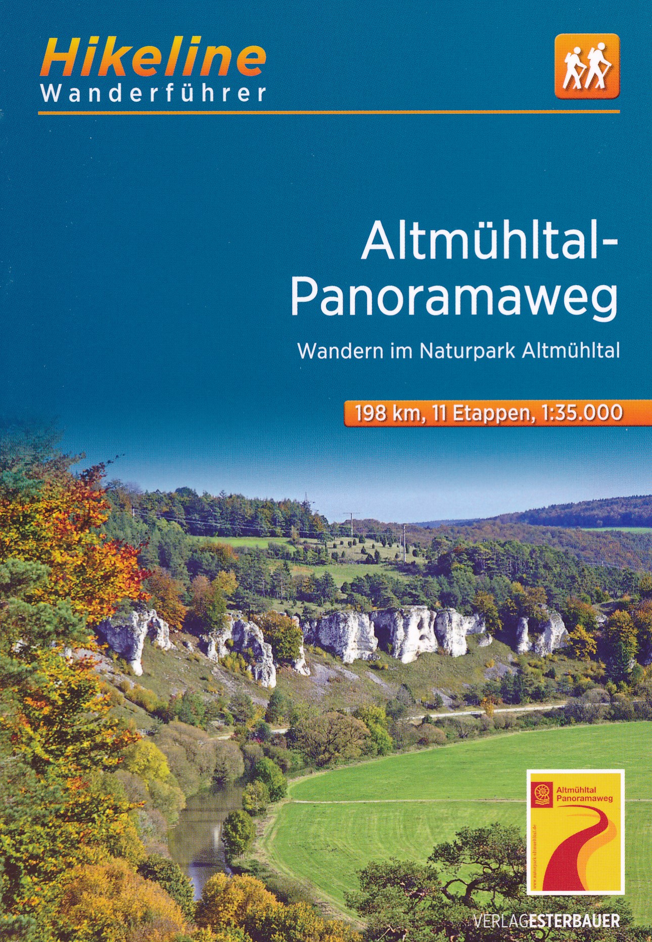
- Altmühltal PanoramawegGPX
- Badener Weg
- BöhmwegGPX
- Bodensee RundwegGPX
- BurgenwegGPX
- Burgundenweg
- DonausteigGPX
- E6GPX
- E8GPX
- ErzwegGPX
- EselswegGPX
- Europäische Wasserscheideweg
- FrankenwegGPX
- Frankenweg (Schwäbischer Albverein)GPX
- Frankenweg Odenwald
- Fränkischer GebirgswegGPX
- Fränkischer Rotwein WanderwegGPX
- GlasschleifererwegGPX
- GoethewegGPX
- GoldsteigGPX
- GunthersteigGPX
- Höhenweg Fichtelgebirge
- Höhenweg Steinwaldweg
- Heilbronner HöhenwegGPX
- Hessenweg 3GPX
- Hessenweg 5GPX
- Hessenweg 9GPX
- HochrhönerGPX
- HohenzollernwegGPX
- JurasteigGPX
- König LudwigwegGPX
- Kelten ErlebniswegGPX
- KunigundenwegGPX
- Lech Höhenweg
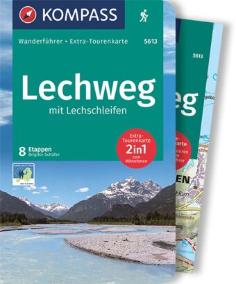
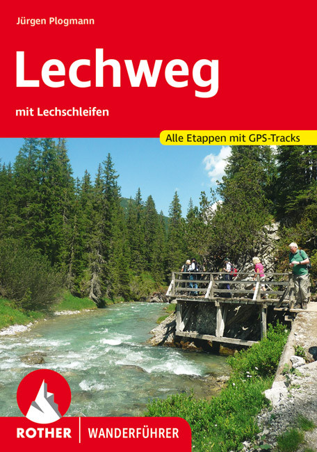
- LechwegGPX
- Main-WerrawegGPX
- Maintal Höhenringweg
- MaximilianswegGPX
- NordwaldkammwegGPX
- NurtschwegGPX
- Oberallgäuer RundwanderwegGPX
- PandurensteigGPX
- PrälatenwegGPX
- Rhön HöhenwegGPX
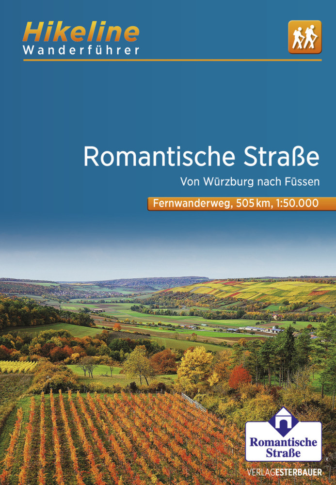
- Romantische StrasseGPX
- Schwäbisch Allgäuer WanderwegGPX
- SpessartwegGPX
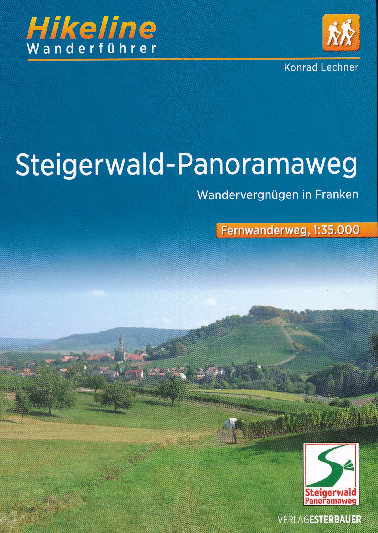
- Steigerwald PanoramawegGPX
- Stromberg-Schwäbischer Waldweg
- Traumpfad München-VenedigGPX
- Via Claudia AugustaGPX
- Westweg FichtelgebirgeGPX
- ZeugenbergrundeGPX
Links
Fakten
Berichte
Führer und Karten
Übernachtung
Organisationen
Reisebüros
GPS
Sonstiges
Bücher

- Also available from:
- De Zwerver, Netherlands

The Book Depository
United Kingdom
2021
United Kingdom
2021
- Also available from:
- De Zwerver, Netherlands

- Also available from:
- De Zwerver, Netherlands
De Zwerver
Netherlands
2022
Netherlands
2022

The Book Depository
United Kingdom
2012
United Kingdom
2012
- Bayrischer Wald Wanderfuhrer Unterwegs zwischen Donau und Bo
- Handzame gids met een goede beschrijving van een groot aantal dagtochten in dit gebied. De gids is in spiraalbinding en elke pagina is op scheur- en watervast papier gedrukt. Daar is echt over nagedacht! Treckencharakteristik Länge, Höhenmeter und Touren Die Tourenauswahl in diesem Buch stellt Ihnen neben den Top-Touren auf die höchsten Berge... Read more
- Also available from:
- De Zwerver, Netherlands
.jpg)
De Zwerver
Netherlands
2012
Netherlands
2012
- Wandelgids Hikeline Bayerischer Wald | Esterbauer
- Handzame gids met een goede beschrijving van een groot aantal dagtochten in dit gebied. De gids is in spiraalbinding en elke pagina is op scheur- en watervast papier gedrukt. Daar is echt over nagedacht! Treckencharakteristik Länge, Höhenmeter und Touren Die Tourenauswahl in diesem Buch stellt Ihnen neben den Top-Touren auf die höchsten Berge... Read more

De Zwerver
Netherlands
2011
Netherlands
2011
- Wandelgids Hikeline Rund um die Zugspitze | Esterbauer
- Handzame gids met een goede beschrijving van een groot aantal dagtochten in dit gebied. De gids is in spiraalbinding en elke pagina is op scheur- en watervast papier gedrukt. Daar is echt over nagedacht! Streckencharakteristik Länge, Höhenmeter und Etappen Die insgesamt 50 Touren dieses Buches decken eine große Bandbreite von kurzen... Read more

De Zwerver
Netherlands
2012
Netherlands
2012
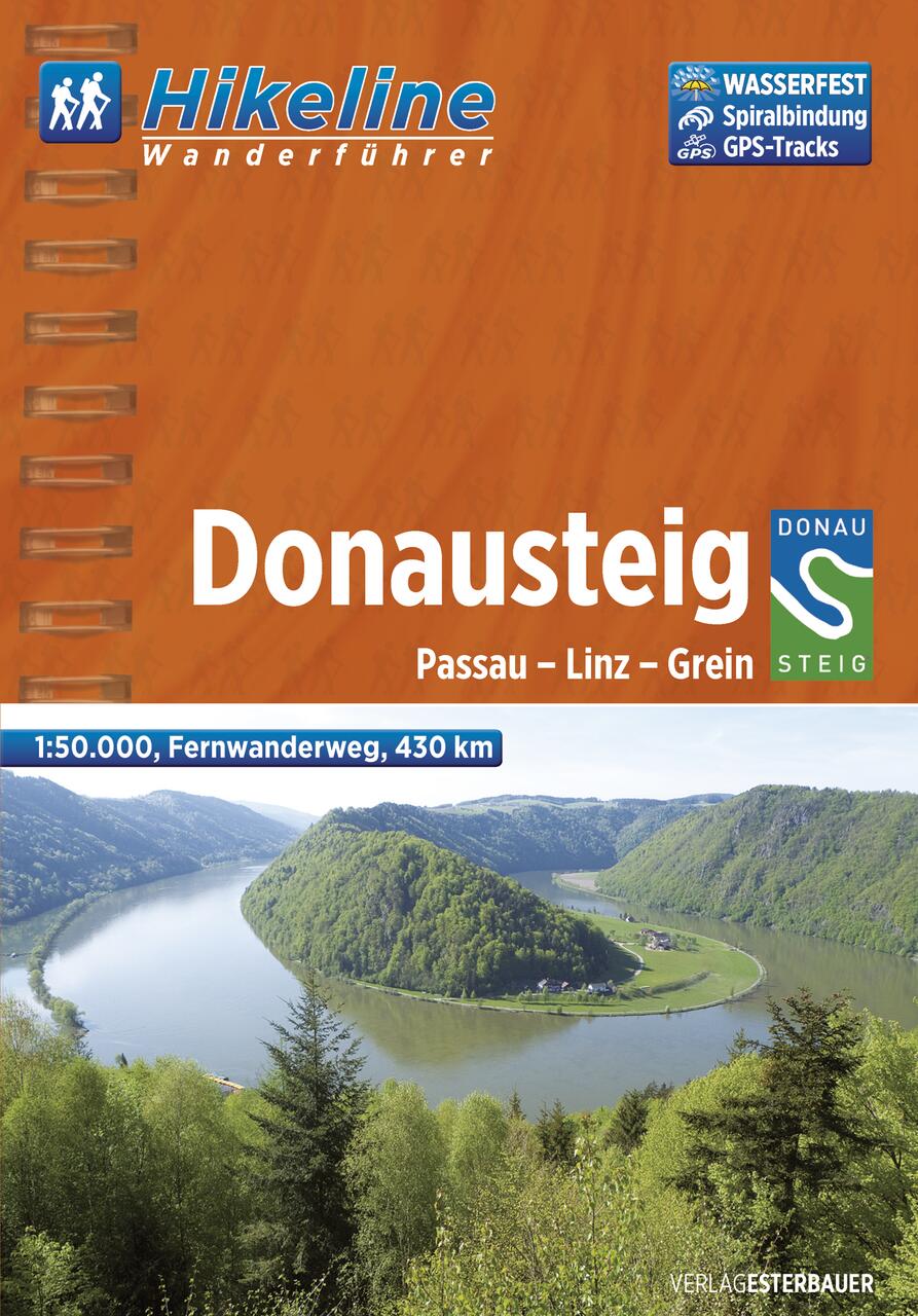
- Wandelgids Hikeline Donausteig | Esterbauer
- Handzame gids met een goede beschrijving van een meerdaagse tocht in dit gebied. De gids is in spiraalbinding en elke pagina is op scheur- en watervast papier gedrukt. Daar is echt over nagedacht! Der im Sommer 2010 neu eröffnete Donausteig startet im bayerisch-oberösterreichischen Grenzgebiet in der Drei-Flüsse-Stadt Passau und verläuft... Read more
De Zwerver
Netherlands
2021
Netherlands
2021
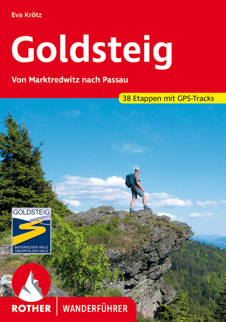
- Wandelgids 118 Goldsteig - Von Marktredwitz nach Passau | Rother Bergverlag
- Uitstekende wandelgids van de Goldsteig route in 38 etappes, van Marktredwitz naar Passau. Met voldoende en duidelijke informatie en goed kaartmateriaal. 200 Seiten mit 100 Farbabbildungen, 38 Höhenprofile, 38 Wanderkärtchen im Maßstab 1:75.000, eine Übersichtskarte Im August 2007 ist der Startschuss für den neuen, rund 660 km langen... Read more
De Zwerver
Netherlands
2022
Netherlands
2022
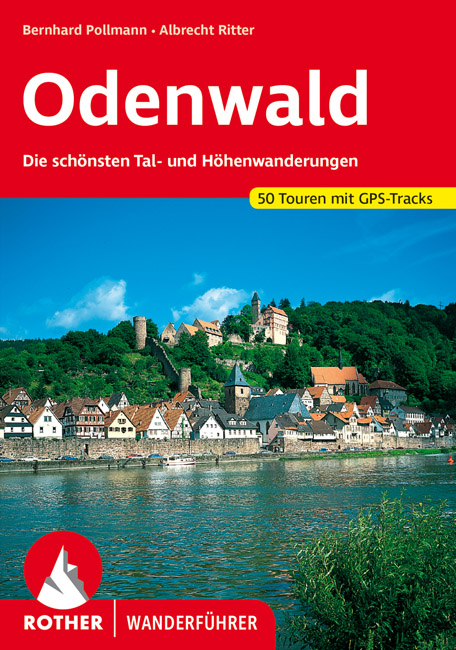
- Wandelgids Odenwald | Rother Bergverlag
- Uitstekende wandelgids met een groot aantal dagtochten in dal en hooggebergte. Met praktische informatie en beperkt kaartmateriaal! Wandelingen in verschillende zwaarte weergegeven in rood/blauw/zwart. Der Odenwald, der von der Bergstraße, dem Neckar und dem Main begrenzt wird, bietet einen reichen Schatz an Natur und Kultur. Neben den... Read more

De Zwerver
Netherlands
2022
Netherlands
2022
- Wandelgids Maximiliansweg | Rother Bergverlag
- Bayerische Alpen - vom Bodensee zum Königssee. 21 Etappen. Mit GPS-Daten Rother Wanderführer. 1., Auflage. Read more
De Zwerver
Netherlands
2012
Netherlands
2012
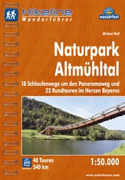
- Wandelgids Hikeline Naturpark Altmühltal | Esterbauer
- Handzame gids met een goede beschrijving van een groot aantal dagtochten in dit gebied. De gids is in spiraalbinding en elke pagina is op scheur- en watervast papier gedrukt. Daar is echt over nagedacht! Naturpark Altmühltal Mitten in Bayern befindet sich der 1969 gegründete Naturpark. Und das „mitten in Bayern“ ist noch nicht einmal... Read more
De Zwerver
Netherlands
2017
Netherlands
2017
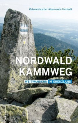
- Wandelgids Nordwaldkammweg | Anton Pustet
- Weitwandern im Grenzland Read more
De Zwerver
Netherlands
2023
Netherlands
2023
Karten

The Book Depository
United Kingdom
United Kingdom
- Tennengebirge - Lammertal - Osterhorngruppe Hiking + Leisure Map 1:50 000
- Tennengebirge - Lammertal - Osternhorngruppe area of the Austrian Alps presented at 1:50,000 in a series of contoured and GPS compatible outdoor leisure map from Freytag & Berndt with hiking and cycling routes, mountain huts, campsites and youth hostels, local bus stops, plus other tourist information. To see the list of currently available... Read more
- Also available from:
- Stanfords, United Kingdom

Stanfords
United Kingdom
United Kingdom
- Tennengebirge - Lammertal - Osternhorngruppe F&B WK392
- Tennengebirge - Lammertal - Osternhorngruppe area of the Austrian Alps presented at 1:50,000 in a series of contoured and GPS compatible outdoor leisure map from Freytag & Berndt with hiking and cycling routes, mountain huts, campsites and youth hostels, local bus stops, plus other tourist information. To see the list of currently available... Read more

The Book Depository
United Kingdom
United Kingdom
- Prespa - Vitsi - Voras
- Uitstekende topografische kaarten van een deel van Griekenland: zonder meer hele goede kaarten voor wandeltochten in een onbekend stuk Griekenland! Ze zijn gedrukt op scheurvast en watervast papier op een schaal van 1:50.000 met een UTM grid voor GPS gebruikers. Op de meeste kaarten is geven de hoogtelijnen een interval van 20m. aan. Met... Read more
- Also available from:
- De Zwerver, Netherlands
- Stanfords, United Kingdom

De Zwerver
Netherlands
Netherlands
- Wandelkaart 6.2 Prespa - Vitsi - Voras | Anavasi
- Uitstekende topografische kaarten van een deel van Griekenland: zonder meer hele goede kaarten voor wandeltochten in een onbekend stuk Griekenland! Ze zijn gedrukt op scheurvast en watervast papier op een schaal van 1:50.000 met een UTM grid voor GPS gebruikers. Op de meeste kaarten is geven de hoogtelijnen een interval van 20m. aan. Met... Read more

Stanfords
United Kingdom
United Kingdom
- Prespa - Vitsi - Voras Anavasi 6.2
- Prespa - Vitsi – Voras area of northern Greece at 1:50,000 on a light, waterproof and tear-resistant, GPS compatible, contoured map from Anavasi, with recommendations for three hiking trails and notes on the E4 and E6 cross-European trails. The map is double-sided; coverage in the west starts from the Prespa Lake on the border with Albania and... Read more
De Zwerver
Netherlands
Netherlands
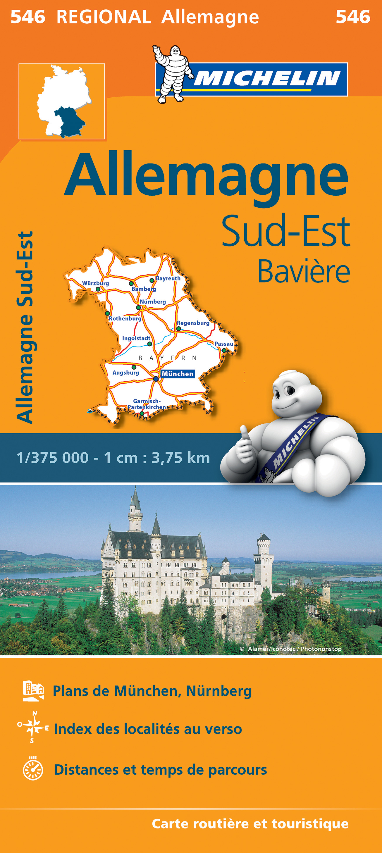
- Wegenkaart - landkaart 546 Bayern - Beieren | Michelin
- MICHELIN REGION BAVIERE ALLEMAGNE SEDes tavernes de Munich à la vieille ville de Nuremberg, toute une région sur une seule carte au 1/375 000e Read more

De Zwerver
Netherlands
Netherlands
- Wandelkaart 5 Rila gebergte | Domino
- Rila Mountains at 1:50,000 on a large, double-sided, contoured map with GPS waypoints for shelters and chalets, peaks, etc. and highlighting hiking routes. Topography is shown by contours at 50m intervals with additional relief shading and graphics and colouring for scree, single rocks over 5m high, marshlands and pine scrub and forests. An... Read more
- Also available from:
- Stanfords, United Kingdom

Stanfords
United Kingdom
United Kingdom
- Rila Mountains Domino
- Rila Mountains at 1:50,000 on a large, double-sided, contoured map with GPS waypoints for shelters and chalets, peaks, etc. and highlighting hiking routes. Topography is shown by contours at 50m intervals with additional relief shading and graphics and colouring for scree, single rocks over 5m high, marshlands and pine scrub and forests. An... Read more

De Zwerver
Netherlands
Netherlands
- Wandelkaart 2.4 Nafpaktos - Panaitoliko - Karpenisi | Anavasi
- Prespa - Vitsi – Voras area of northern Greece at 1:50,000 on a light, waterproof and tear-resistant, GPS compatible, contoured map from Anavasi, with recommendations for three hiking trails and notes on the E4 and E6 cross-European trails. The map is double-sided; coverage in the west starts from the Prespa Lake on the border with Albania and... Read more
De Zwerver
Netherlands
Netherlands
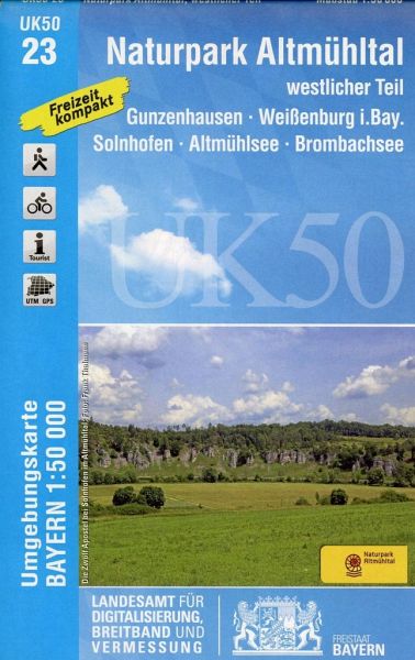
- Wandelkaart 23 UK50 Naturpark Altmühltal westlicher Teil | LVA Bayern
- The western part of the Altmühl Valley Regional Park, map no. 50-23 covering an area around Weißenburg, Eichstätt, Gunzenhausen and Monheim, in a series of special contoured and GP-compatible recreational maps from the Bavarian state survey organization, with cartography of the German topographic survey at 1:50,000 and extensive additional... Read more
- Also available from:
- Stanfords, United Kingdom

Stanfords
United Kingdom
United Kingdom
- Altmuhltal NP West UK50-23
- The western part of the Altmühl Valley Regional Park, map no. 50-23 covering an area around Weißenburg, Eichstätt, Gunzenhausen and Monheim, in a series of special contoured and GP-compatible recreational maps from the Bavarian state survey organization, with cartography of the German topographic survey at 1:50,000 and extensive additional... Read more

De Zwerver
Netherlands
Netherlands
- Wandelkaart 6 Pirin gebergte | Domino
- Pirin Mountains at 1:50,000 on a large, double-sided, contoured map with GPS waypoints for shelters and chalets, peaks, etc. and highlighting hiking routes. Topography is shown by contours at 40m intervals with additional relief shading and graphics and colouring for sandstone stacks, single rocks over 5m high, marshlands and different types of... Read more
- Also available from:
- Stanfords, United Kingdom

Stanfords
United Kingdom
United Kingdom
- Pirin Mountains Domino
- Pirin Mountains at 1:50,000 on a large, double-sided, contoured map with GPS waypoints for shelters and chalets, peaks, etc. and highlighting hiking routes. Topography is shown by contours at 40m intervals with additional relief shading and graphics and colouring for sandstone stacks, single rocks over 5m high, marshlands and different types of... Read more
De Zwerver
Netherlands
Netherlands
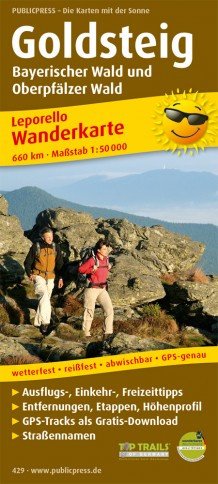
- Wandelkaart Goldsteig | Publicpress
- Mit Ausflugszielen, Einkehr- Freizeittipps, wetterfest, reissfest, abwischbar, GPS-genau. 3. Auflage. Read more

De Zwerver
Netherlands
Netherlands
- Wandelkaart - Wegenkaart - landkaart 7 Westelijke Rhodopen - Western Rhodopes | Domino
- Western Rhodope Mountains at 1:100,000 on a contoured GPS compatible map from Domino extending from just west of the Pirin National Park to Asenovgrad in the north-east. The map is double-sided with a good overlap between the sides. Topography is shown by contours at 50m intervals with relief shading and spot heights, plus colouring for... Read more
- Also available from:
- Stanfords, United Kingdom

Stanfords
United Kingdom
United Kingdom
- Western Rhodope Mountains Domino Map
- Western Rhodope Mountains at 1:100,000 on a contoured GPS compatible map from Domino extending from just west of the Pirin National Park to Asenovgrad in the north-east. The map is double-sided with a good overlap between the sides. Topography is shown by contours at 50m intervals with relief shading and spot heights, plus colouring for... Read more

De Zwerver
Netherlands
Netherlands
- Wandelkaart Strandzha - Bulgarije | Domino
- Strandzha Mountains in the south-eastern corner of Bulgaria between Burgas to the Turkish border on a contoured and GPS compatible map from Domino showing local hiking trails and highlighting various interesting sites, with three more detailed enlargements at 1:25,000. Most place names are in both Latin and Cyrillic alphabet; map legend... Read more
- Also available from:
- Stanfords, United Kingdom

Stanfords
United Kingdom
United Kingdom
- Strandzha Mountains: Burgas to the Turkish Border Domino Map
- Strandzha Mountains in the south-eastern corner of Bulgaria between Burgas to the Turkish border on a contoured and GPS compatible map from Domino showing local hiking trails and highlighting various interesting sites, with three more detailed enlargements at 1:25,000. Most place names are in both Latin and Cyrillic alphabet; map legend... Read more
De Zwerver
Netherlands
Netherlands
De Zwerver
Netherlands
Netherlands
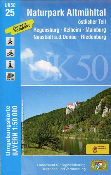
- Wandelkaart 25 UK50 Bayern Naturpark Altmühltal, östlicher Teil | LVA Bayern
- The eastern part of the Altmühl Valley Regional Park and the western environs of Regensburg, map no. 50-25 covering an area which includes Parsberg, Riedenburg, Mainburg and Kehlheim, in a series of special contoured and GP-compatible recreational maps from the Bavarian state survey organization, with cartography of the German topographic... Read more
- Also available from:
- Stanfords, United Kingdom

Stanfords
United Kingdom
United Kingdom
- Altmuhltal NP East UK50-25
- The eastern part of the Altmühl Valley Regional Park and the western environs of Regensburg, map no. 50-25 covering an area which includes Parsberg, Riedenburg, Mainburg and Kehlheim, in a series of special contoured and GP-compatible recreational maps from the Bavarian state survey organization, with cartography of the German topographic... Read more
Weitere …