
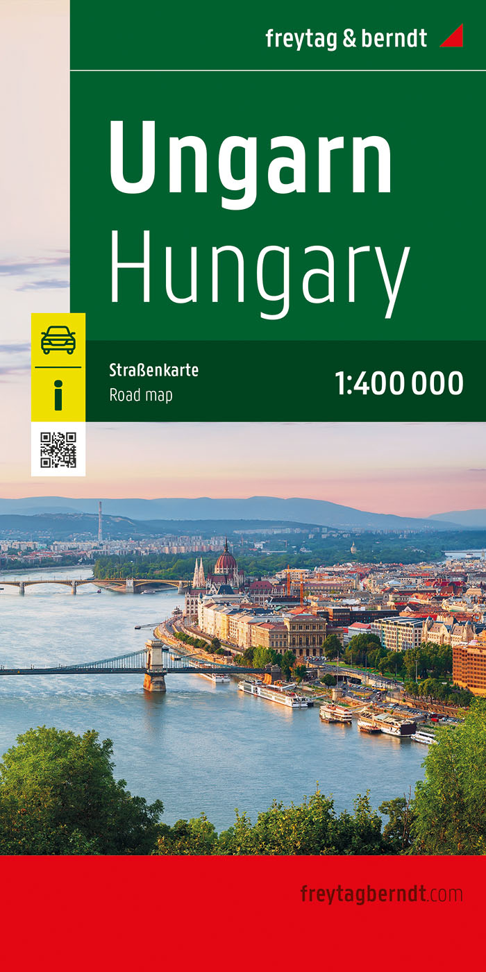
Ungarn
Beschreibung

Hungarians enjoy walking. In this tidy country the scenery may appear to be somewhat monotonous. Apart from the hill country in the north, with Kékestetö (1014m) as highest mountain, all is rather flat. All the same, there are 11000km of marked hiking trails!
Much walking is done in national parks. Most famous is Hortobágy Puszta Park, the ultimate plain so to say, and consequently declared World Heritage Site. Another is Bükk National Park, an area of mountains and forests in the north of Hungary. Also great for hiking is the northern karst region of Aggtelek National Park, where you can go underground as well.
Of the 11000 kilometers of hiking trails, 2500 have been marked as Blue Trail. These Blue Trails or Kéktúra in Hungarian, lead right across the country and coincide with European long distance trails E3, E4 and E7. The original Blue Tour is said to be the oldest long distance hiking trail of the European continent. It dates back to 1938 and was laid out to commemorate the 900th anniversary of the death of King St. Stephen, first king of Hungary. Good reason for celebration of course. The current 1128km long route strings together all hilly ranges and touches on Lake Balaton. On the way you can collect 147 stamps at so-called check-points, often in railway stations etc. You are kindly requested to address the local officials in a friendly manner for a stamp, and the official website advises as follows: "It is useful (and advised) to carry an ink pad with you along your hikes, because the inking of the official stampers can not be guaranteed." Also forests, and with it portions of the trail, may suddenly be cut down and cleared.
A few practicalities: excellent topographical maps and guides are available. Bring a tent, and swimsuit/trunks, because Hungarians build the best swimming pools in Europe.
Wanderwege
Regionen


Links
Fakten
Berichte
Führer und Karten
Übernachtung
Organisationen
Reisebüros
GPS
Sonstiges
Bücher

United Kingdom
- Discovering the Heart of Hungary
- A Comprehensive Travel Guide Read more

- Also available from:
- De Zwerver, Netherlands
Netherlands
2003
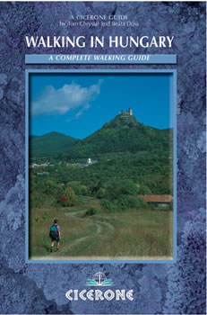
- Wandelgids Walking in Hungary / Hongarije | Cicerone
- Guidebook to 32 walks throughout upland Hungary, with its landscape of rolling hills, high karst meadows, vineyards, crags, castles and villages. The ancient trails of the country are now a network of walking paths with a good system of coloured waymarks. Background information on preparing for walking in the country also included. Read more

Netherlands
2017
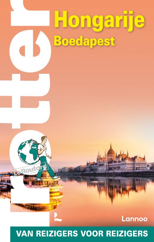
- Reisgids ANWB extra Boedapest - Budapest | ANWB Media
- Handige en overzichtelijke, kleine reisgids voor een eerste kennismaking met de vakantiebestemming of een weekendje stad. Globale uitklapkaart achterin, makkelijk binnenzakformaat. Ontdek Boedapest met de compleet vernieuwde reisgids ANWB Extra Boedapest! Door de combinatie van de pronkgebouwen uit de 19e eeuw en de moderne wijken met... Read more
Netherlands
2011
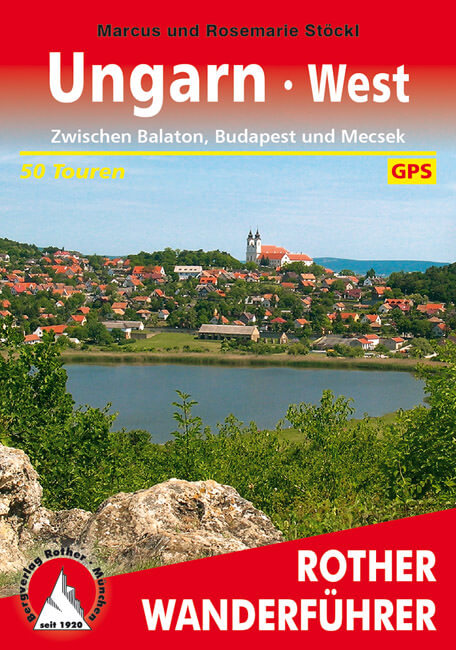
- Wandelgids Ungarn West - Hongarije west | Rother Bergverlag
- Duitstalige wandelgids met zeer goed beschreven wandelingen in de genoemde gebieden. Redelijk kaartmateriaal, vooral de beschrijving van de route en de praktische info die er bij hoort is goed. 50 Wanderkärtchen im Maßstab 1:50.000 und 1:75.000, 50 Höhenprofile, vier Übersichtskarten im Maßstab 1:500.000, eine Übersichtskarte im Maßstab... Read more


Netherlands
2019
- Reisgids Marco Polo NL Boedapest | 62Damrak
- Eindelijk zijn ze er weer: de Nederlandse versie van de alom bekende en gewaardeerde serie van Marco Polo. Het is een handige en overzichtelijke, kleine reisgids voor een goede kennismaking met Boedapest. Globale uitklapkaart achterin, makkelijk binnenzakformaat. Toch best veel aandacht voor de toeristische hoogtepunten en leuke tips van en... Read more
Netherlands
Netherlands
2016
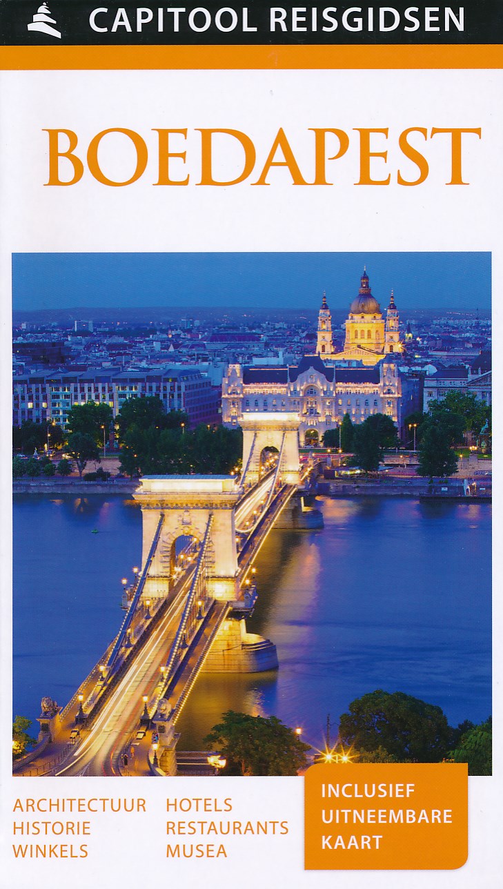
- Reisgids Capitool Reisgidsen Boedapest | Unieboek
- Prachtig geillustreerde reisgids met o.a. 3D tekeningen, fraaie kaarten en geweldige foto’s. Daarnaast uitgebreide achtergrondbeschrijvingen. Echt om in de stemming te komen! Groot formaat gids. Boedapest, vaak beschreven als het 'Kleine Parijs van Midden-Europa'; is beroemd om de monumenten die de 1000 jaar oude cultuur van de stad... Read more

United Kingdom
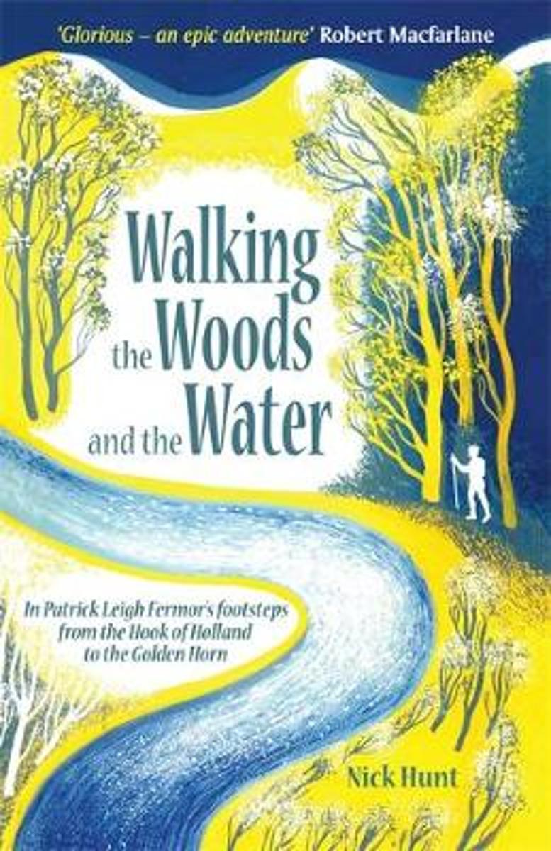
- Walking the Woods and the Water
- In Patrick Leigh Fermor's Footsteps from the Hook of Holland to the Golden Horn Read more
- Also available from:
- Bol.com, Netherlands
- Bol.com, Belgium
Netherlands
- Walking the Woods and the Water
- In 1933, the eighteen year old Patrick Leigh Fermor set out in a pair of hobnailed boots to chance and charm his way across Europe, like a tramp, a pilgrim or a wandering scholar. The books he later wrote about this walk, A Time of Gifts, Between the Woods and the Water, and the posthumous The Broken Road are a half-remembered, half-reimagined... Read more
Belgium
- Walking the Woods and the Water
- In 1933, the eighteen year old Patrick Leigh Fermor set out in a pair of hobnailed boots to chance and charm his way across Europe, like a tramp, a pilgrim or a wandering scholar. The books he later wrote about this walk, A Time of Gifts, Between the Woods and the Water, and the posthumous The Broken Road are a half-remembered, half-reimagined... Read more
Netherlands
- Semantic Change. a Comparison Betweenwandel Der Wortbedeutung by Hermann Paul and Semantic Change and Cognition by Gabor Gyori
- Seminar paper from the year 2013 in the subject German Studies - Semiotics, Pragmatics, Semantics, grade: 1.0, University of Hannover, language: English, abstract: The study of language change has evolved at a high rate throughout the last century. Significant insights have been gained concerning the workings of the human mind and, by... Read more
- Also available from:
- Bol.com, Belgium
Belgium
- Semantic Change. a Comparison Betweenwandel Der Wortbedeutung by Hermann Paul and Semantic Change and Cognition by Gabor Gyori
- Seminar paper from the year 2013 in the subject German Studies - Semiotics, Pragmatics, Semantics, grade: 1.0, University of Hannover, language: English, abstract: The study of language change has evolved at a high rate throughout the last century. Significant insights have been gained concerning the workings of the human mind and, by... Read more
Karten
Netherlands
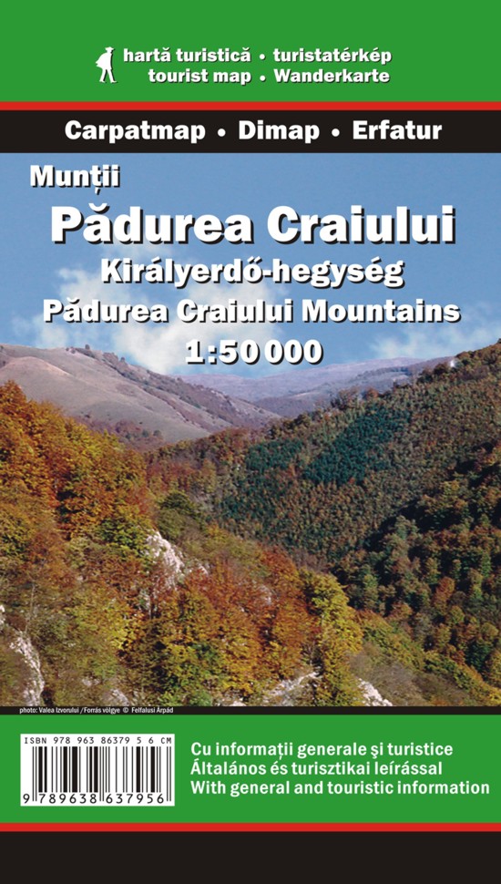
- Wandelkaart Padurea Craiului Mountains | Dimap
- Padurea Craiuli Mountains at 1:50,000 in a series of detailed contoured maps covering popular hiking areas of Transylvania published by Dimap, one of Hungary Read more
Netherlands
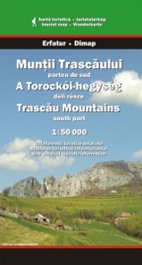
- Wandelkaart Trascau Mountains - south part | Dimap
- Trascau Mountains South at 1:50,000 in a series of detailed contoured maps covering popular hiking areas of Transylvania published by Dimap, one of Hungary Read more
Netherlands
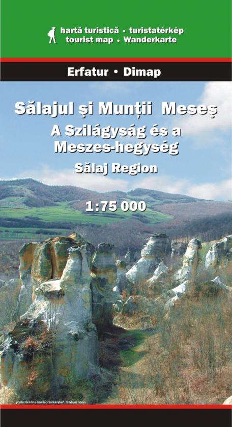
- Wandelkaart Salaj Region and Meses Mountains | Dimap
- Salaj Region at 1:75,000 in a series of detailed contoured maps covering popular hiking areas of Transylvania published by Dimap, one of Hungary Read more
Netherlands
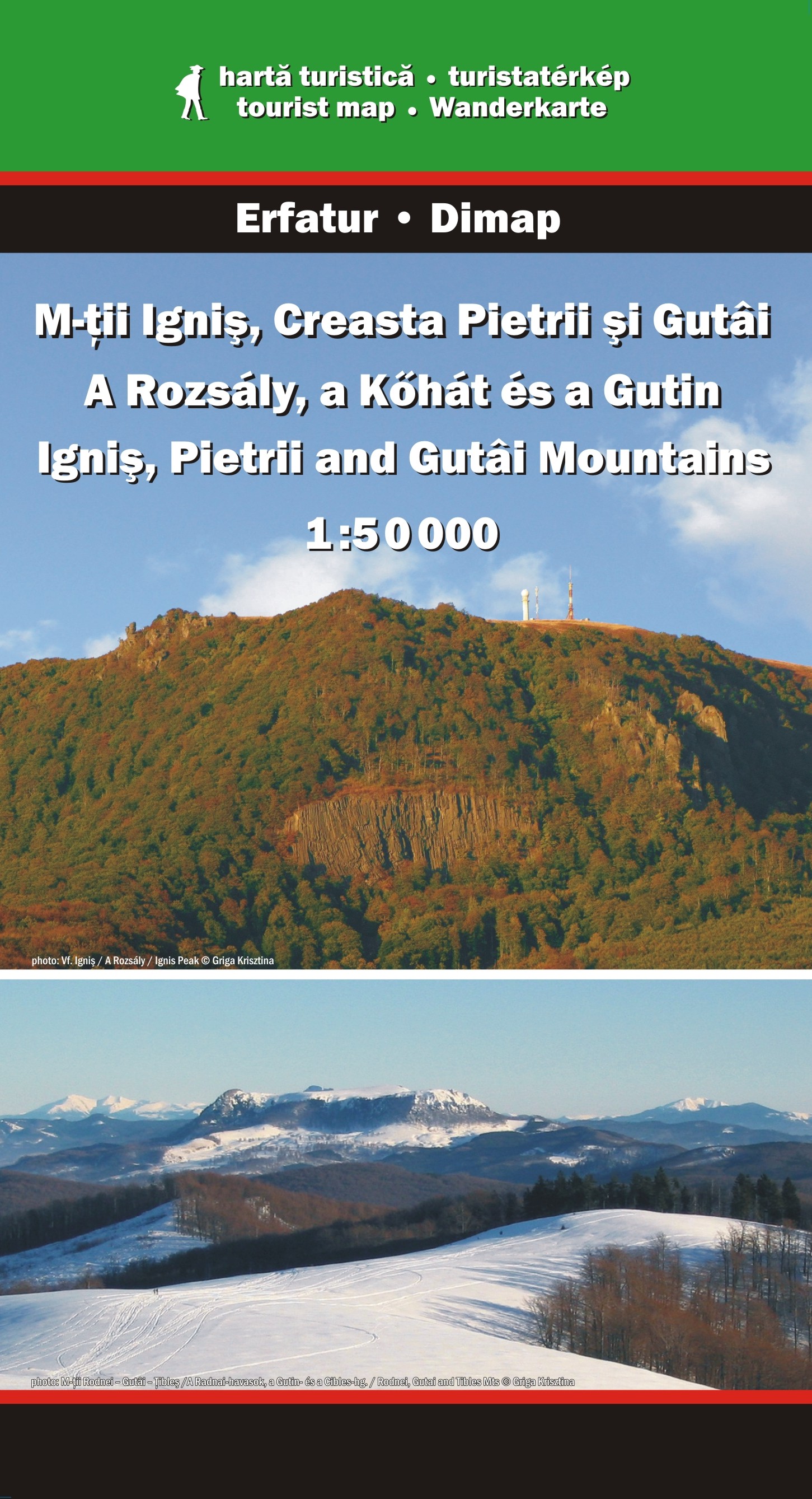
- Wandelkaart Ignis, Pietrii and Gutai Mountains | Dimap
- Ignis, Pietrii and Gutai Mountains in northern Transylvania at 1:50,000 in a series of detailed contoured maps covering popular hiking areas of Transylvania published by Dimap, one of Hungary Read more
Netherlands
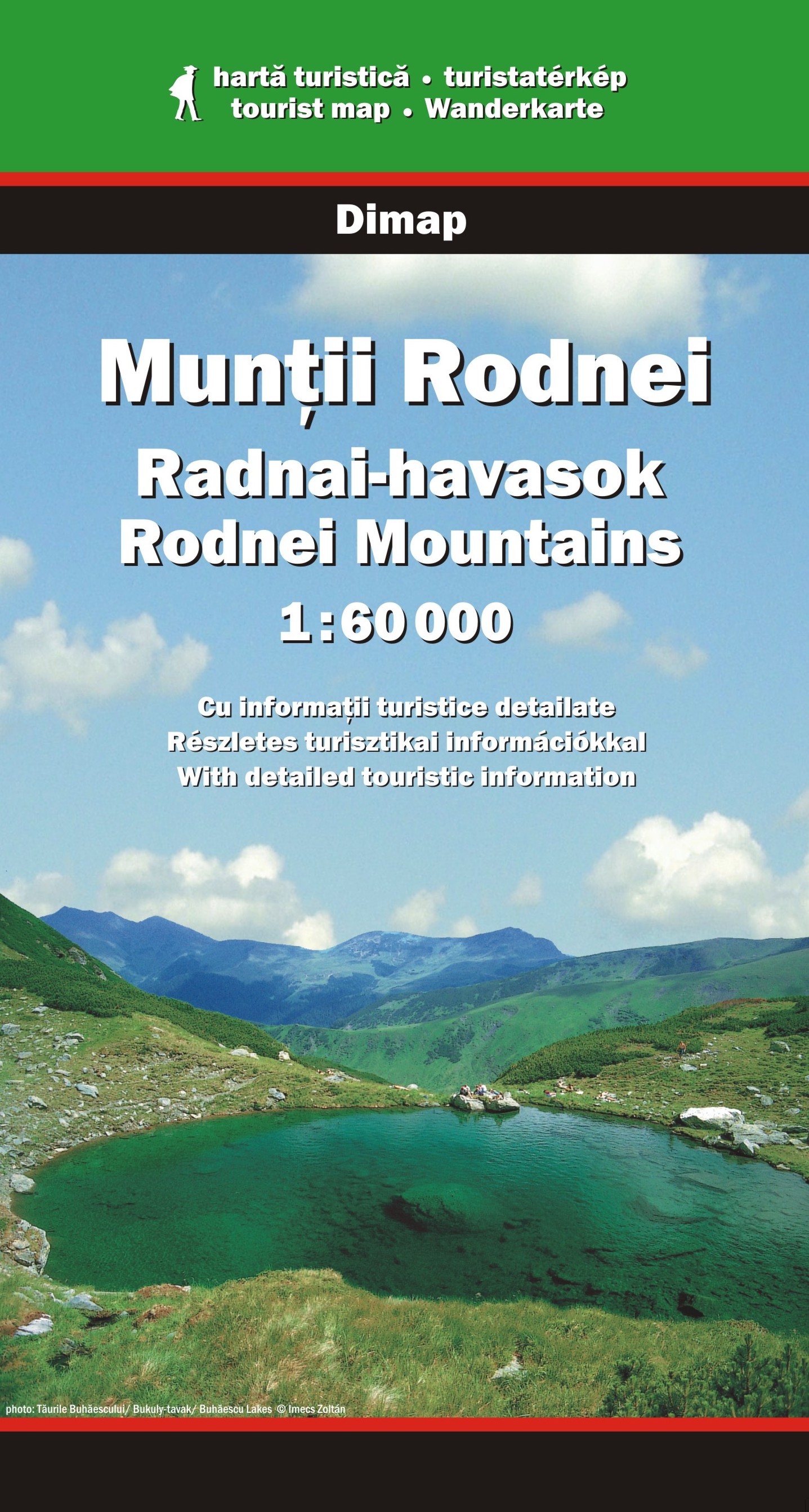
- Wandelkaart Rodnei Mountains | Dimap
- Rodnei Mountains in northern Romania presented at 1:50,000 on a map from Dimap - one of Hungary Read more
- Also available from:
- Stanfords, United Kingdom

United Kingdom
- Rodnei Mountains Dimap Hiking Map
- Rodnei Mountains in northern Romania presented at 1:50,000 on a map from Dimap - one of Hungary’s leading cartographic publishers specializing in mapping Transylvania, showing local hiking routes, campsites, places of interest, etc. Contours are at 50m intervals, enhanced by relief shading and colouring for forested areas. The map shows local... Read more
Netherlands
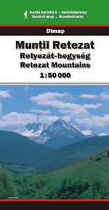
- Wandelkaart Retezat Mountains | Dimap
- Retezat Mountains at 1:50,000 in a series of detailed contoured maps covering popular hiking areas of Transylvania published by Dimap, one of Hungary Read more
- Also available from:
- Stanfords, United Kingdom

United Kingdom
- Retezat Mountains Dimap Hiking Map
- Retezat Mountains at 1:50,000 in a series of detailed contoured maps covering popular hiking areas of Transylvania published by Dimap, one of Hungary’s leading publishers specializing in mapping of that region. The maps show local hiking routes and provide tourist information such as campsites, places of interest, etc. Many titles include... Read more
Netherlands
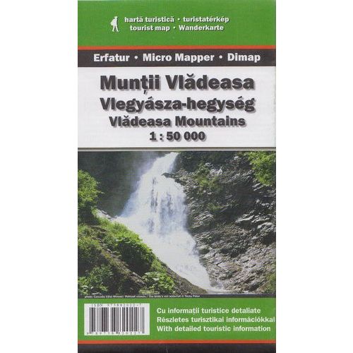
- Wandelkaart Vladeasa Mountains | Dimap
- Vladeasa Mountains at 1:50,000 in a series of detailed contoured maps covering popular hiking areas of Transylvania published by Dimap, one of Hungary Read more
Netherlands
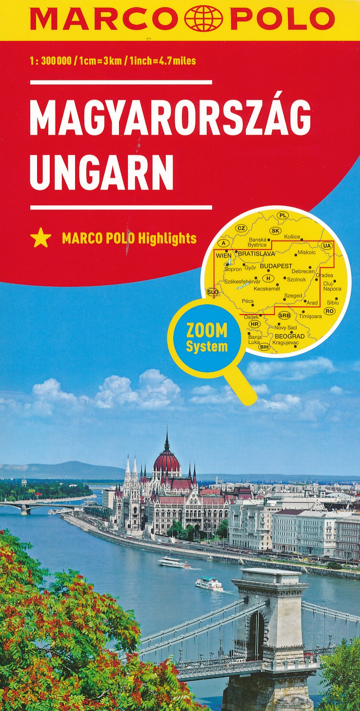
- Wegenkaart - landkaart Hungary - Hongarije | Marco Polo
- MARCO POLO Länderkarte Ungarn 1:300 000 ab 11.99 EURO Zoom System Marco Polo Karte Marco Polo Länderkarte. 7. Auflage, Laufzeit bis 2022 Read more
Netherlands
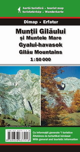
- Wandelkaart Gilau Mountains | Dimap
- Gilau Mountains at 1:50,000 in a series of detailed contoured maps covering popular hiking areas of Transylvania published by Dimap, one of Hungary Read more
- Also available from:
- Stanfords, United Kingdom

United Kingdom
- Gilau Mountains Dimap Hiking Map
- Gilau Mountains at 1:50,000 in a series of detailed contoured maps covering popular hiking areas of Transylvania published by Dimap, one of Hungary’s leading publishers specializing in mapping of that region. The maps show local hiking routes and provide tourist information such as campsites, places of interest, etc. Many titles include street... Read more

United Kingdom
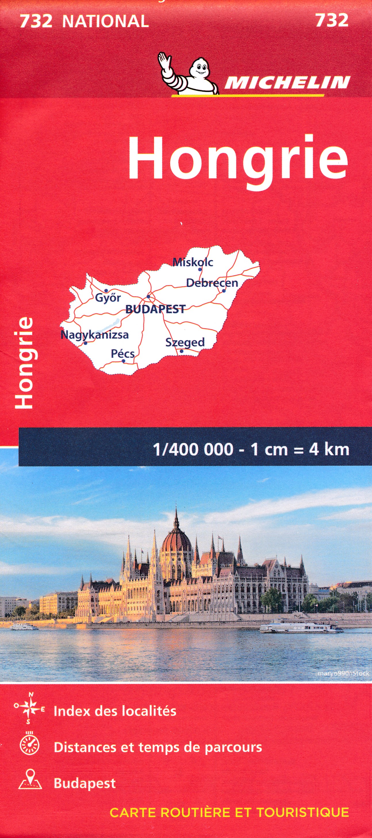
- Hungary Michelin
- The Michelin National road map of Hungary at 1:400,000 scale is ideal for route planning. The map gives comprehensive coverage of national road networks showing all major motorways, dual carriageways, national & regional main roads and some single-lane roads. [[Also shows unsurfaced roads and tracks and major footpaths.Distances between major... Read more

United Kingdom
- Hungary - Budapest Road Atlas SPIRAL-BOUND
- Road atlas of Hungary at 1:250,000 combined with a street atlas of Budapest at 1:20,000 from Cartographia, presented in a handy glovebox size and spiral-bound format, each section with an extensive index, plus an enlargement of the Budapest region, etc.The road atlas section shows six different classes of roads, plus cart tracks and selected... Read more