
Defereggengebirge
Beschreibung

If you want to avoid the bustle of Austria's major walking areas, chances are you will like the Defereggengebirge. This mountain area, south of the Defereggental, does belong to the Hohe Tauern. But it's far away from magnets like the Venedigergruppe, further north. Most tourists just drive by without a thought.
The naming of the area is somewhat confusing. Today, one rather uses the name Villgratner Berge, i.e. the mountains around the Villgratental. And these mountains continue westward into Italy , beyond the Gsieser Tal.
The Deferregengebirge is a region of small lakes, traditional meadows and a rich plant life. Ideal if you like quiet walks and don't need big names in your CV.
The mountains here reach a height of nearly 3,000 m. The highest peak is the Rote Spitze, 2962 m. Or, if the area more closely define what is the highest peak Weiße Spitze (2956 m).
Karte

Wanderwege Region
Links
Fakten
Berichte
Führer und Karten
Übernachtung
Organisationen
Reisebüros
GPS
Sonstiges
Bücher
Netherlands
2021
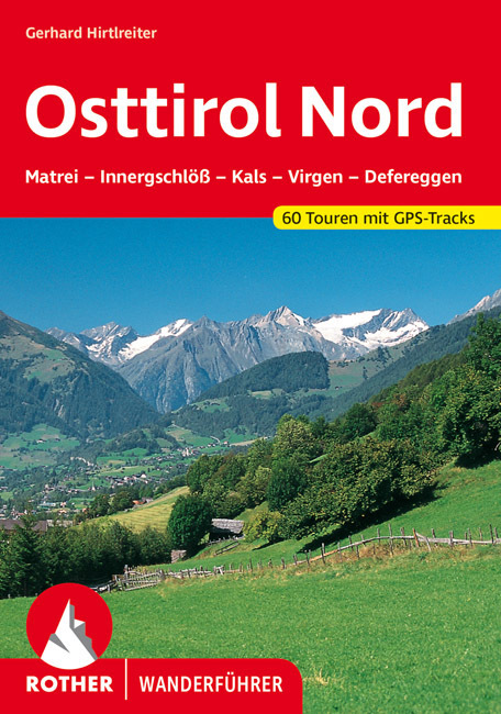
- Wandelgids Osttirol Nord | Rother Bergverlag
- Uitstekende wandelgids met een groot aantal dagtochten in dal en hooggebergte. Met praktische informatie en beperkt kaartmateriaal! Wandelingen in verschillende zwaarte weergegeven in rood/blauw/zwart. Das »Sonnenland« Osttirol liegt - fast zur Hälfte höher als 2000 m - südlich der höchsten Alpenkette Österreichs, der Hohen Tauern. Es ist von... Read more
Netherlands
2022
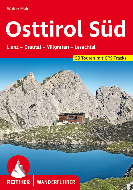
- Wandelgids Osttirol Süd | Rother Bergverlag
- Uitstekende wandelgids met een groot aantal dagtochten in dal en hooggebergte. Met praktische informatie en beperkt kaartmateriaal! Wandelingen in verschillende zwaarte weergegeven in rood/blauw/zwart. Osttirol liegt südlich der Hohen Tauern, der höchsten Alpenkette Österreichs, die so manche Regenfront aus dem Norden abhält. Von Süden her tun... Read more
Netherlands
2016
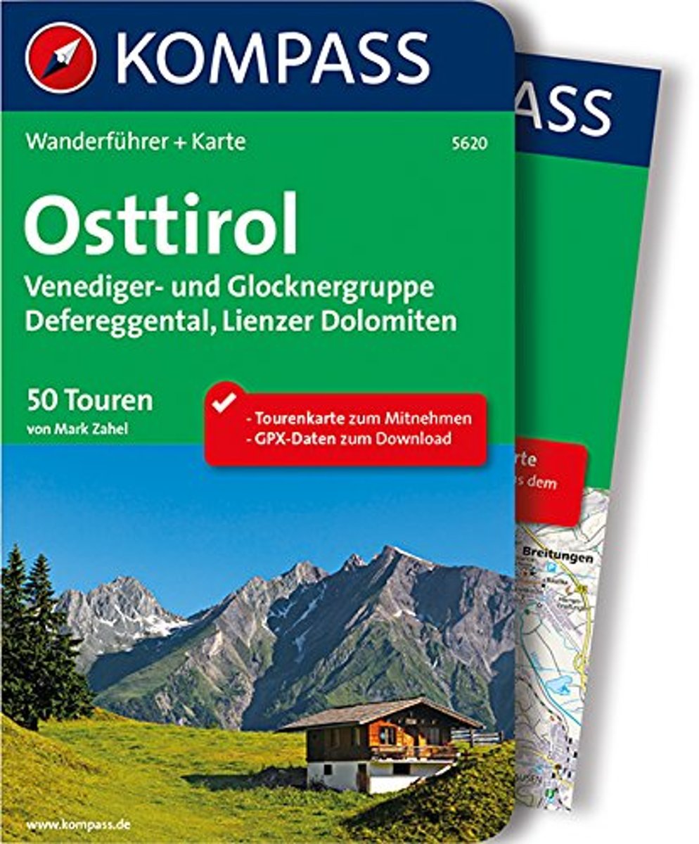
- WF5620 Oost-Tirol Kompass
- De Kompass wandelgids + kaart geeft een overzicht van alle wandelroutes in het gebied met nauwkeurige routeaanwijzingen en hoogteaanduidingen, De extra grote kaart, schaal 1:35 000, is ideaal om van te voren uw route uit te stippelen en om onderweg te gebruiken • naast de bekende bestemmingen, worden ook de minder bekende vermeld • openbaar... Read more
- Also available from:
- Bol.com, Belgium
Belgium
2016
- WF5620 Oost-Tirol Kompass
- De Kompass wandelgids + kaart geeft een overzicht van alle wandelroutes in het gebied met nauwkeurige routeaanwijzingen en hoogteaanduidingen, De extra grote kaart, schaal 1:35 000, is ideaal om van te voren uw route uit te stippelen en om onderweg te gebruiken • naast de bekende bestemmingen, worden ook de minder bekende vermeld • openbaar... Read more
Karten

United Kingdom
- Matrei - Defereggen - Virgental Hiking + Leisure Map 1:50 000
- Matrei - Deferggen - Virgental area of the Austrian Alps presented at 1:50,000 in a series of contoured and GPS compatible outdoor leisure map from Freytag & Berndt with hiking and cycling routes, mountain huts, campsites and youth hostels, local bus stops, plus other tourist information.To see the list of currently available titles in this... Read more
- Also available from:
- Stanfords, United Kingdom

United Kingdom
- Matrei - Deferggen - Virgental F&B WK123
- Matrei - Deferggen - Virgental area of the Austrian Alps presented at 1:50,000 in a series of contoured and GPS compatible outdoor leisure map from Freytag & Berndt with hiking and cycling routes, mountain huts, campsites and youth hostels, local bus stops, plus other tourist information.To see the list of currently available titles in this... Read more

United Kingdom
- Lienz Dolomites - Lesachtal - Villgratner Mountains Hiking + Leisure Map 1:50 000
- Lienz Dolomites - Lesachtal area of Carinthia presented at 1:50,000 in a series of contoured and GPS compatible outdoor leisure map from Freytag & Berndt with hiking and cycling routes, mountain huts, campsites and youth hostels, local bus stops, plus other tourist information.To see the list of currently available titles in this series please... Read more
- Also available from:
- Stanfords, United Kingdom

United Kingdom
- Lienz Dolomites - Lesachtal - Villgratner Berge F&B WK182
- Lienz Dolomites - Lesachtal area of Carinthia presented at 1:50,000 in a series of contoured and GPS compatible outdoor leisure map from Freytag & Berndt with hiking and cycling routes, mountain huts, campsites and youth hostels, local bus stops, plus other tourist information.To see the list of currently available titles in this series please... Read more