
Italien
Beschreibung

Italy is a country of enormous diversity and contrast. Most famous are the Alps. Coming from the efficient neatness of Switzerland or Austria, the Italian Alps are wilder and at the same time more tranquil, like stepping back in time. The most beautiful and popular areas are Gran Paradiso, Val Grande, Stelvio and the Dolomites.
In addition there are countless national parks, all very much worth hiking through. A series of mountain ranges runs from north to south like a backbone, starting from the hills of Tuscany, to the Apennines and Abruzzo to Italy's toe, Calabria. Southern Italy, too far for many tourists, has several attractive hiking regions, like Pollino and Aspromonte.
In the Alps you can walk from hut to hut, elsewhere you can do day hikes, such is the rule in general. However some genuine long distance hiking trails are under construction. European long distance trail E10 in the Alps, which coincides with the 1000km long Grande Alpine Trail and the international Via Alpina. The second large project is the E1, which coincides with the Grand Apennine Mountains Trail and the Ligurian Mountains High Trail. If this trail is ever completed, you can start from Como passing Genova and continue all the way to Reggio di Calabria and Palermo or Siracuse on Sicily. The third large project means to join all these trails into one 6000km long Sentiero Italia. Last but not least, there is the Alta Via in the Dolomites: splendid walking.
Mountain huts abound in the Alps. Hiking can be done all summer, from June until well into October. Further south spring is the best hiking season. In April you will still get stuck in the snow up in the mountains. Autumn is supposed to be fine as well, but alas, as one hiker put it: "you wake up to the sounds of church bells and gunfire". As hunters, Italians are best avoided.
Karte


Wanderwege
- Alta Via dei GigantiGPX
- Alta Via dei Monti LiguriGPX
- Alta Via Della Valle d'Aosta No 1
- Alta Via Della Valle d'Aosta No 2
- Alta Via Dolomiti 1GPX
- Alta Via Dolomiti 10
- Alta Via Dolomiti 2GPX
- Alta Via Dolomiti 3GPX
- Alta Via Dolomiti 4GPX
- Alta Via Dolomiti 5
- Alta Via Dolomiti 6GPX
- Alta Via Dolomiti 7
- Alta Via Dolomiti 8
- Alta Via Dolomiti 9
- Bassa Via del GardaGPX
- Cinque Terre
- E1GPX
- E10GPX
- E12GPX
- E5GPX
- E7GPX
- Florence - Siena
- GoethewegGPX
- GR58 - Tour du QueyrasGPX
- Grande Escursione AppenninicaGPX
- Grande Traversata del Gran Paradiso
- Grande Traversata delle AlpiGPX
- Meraner HöhenwegGPX
- Pfunderer HöhenwegGPX
- Santiago de Compostela Pilgrims WayGPX
- Südalpenweg - 3GPX
- SeealpentourGPX
- Sentiero della PaceGPX
- Sentiero ItaliaGPX
- Sentiero Roma
- Tiroler Höhenweg
- TMB - Tour du Mont BlancGPX
- Tour des CombinsGPX
- Tour des Grands Barrages
- Tour du MatterhornGPX
- Tour Monte RosaGPX
- Traumpfad München-VenedigGPX
- Via AlpinaGPX
- Via FrancigenaGPX
- Via SacraGPX
- Via SbrinzGPX
- Via SplugaGPX
- Via ValtellinaGPX
Regionen
- Abruzzi
- Adamello
- Aeolian Islands
- Alpi Biellesi e Cusiane
- Alpi di Livigno
- Alpi Liguri
- Alpi Marittime
- Alpi Oróbie e Bergamasche
- Alpi Sarentini
- Alpi Vicentine
- Alps
- Amalfi Coast
- Appennini
- Apulia
- Ötztal
- Bernina
- Brenta
- Calabria
- Cilento
- Defereggengebirge
- Dolomiti
- Dolomiti di Fiemme
- Elba
- Friuli
- Garda
- Gran Paradiso
- Grand Combin
- Julische Alpen
- Karawanken
- Karnischer Alpen
- Lago di Como
- Lago Maggiore
- Liguria
- Lombardia
- Matterhorn
- Moncenisio
- Monginevro
- Mont Blanc
- Monte Leone
- Monte Rosa
- Monti Sibillini
- Monviso
- Nonstaler Alpen
- Ortler
- Paganella
- Platta Gruppe
- Presanella
- Rieserfernergruppe
- Sardinia
- Südtirol
- Sesvenna Gruppe
- Sicilia
- Sobretta
- Stelvio
- Stubai
- Texelgruppe
- Tirol
- Toscana
- Trentino
- Umbria
- Val d'Aosta
- Val Grande
- Val Venosta
- Valle d'Aosta
- Veneto
- Vinschgau
- Zillertal
Berge


Links
Fakten
Berichte
Führer und Karten
Übernachtung
Organisationen
Reisebüros
GPS
Sonstiges
Bücher


United Kingdom
2015
- The Way of St Francis
- Via di Francesco: From Florence to Assisi and Rome Read more
- Also available from:
- De Zwerver, Netherlands

Netherlands
2019
- Wandelgids - Pelgrimsroute The Way of St Francis - Via Francigena | Cicerone
- Guidebook to walking the Way of St Francis, Via di Francesco. 550km pilgrimage from Florence, through Assisi to Rome through Central Italy visiting key sites from the saint's life. Described in 28 stages, the guide to the month-long route includes detailed maps, profiles and information about all the shrines, churches and towns along the way. Read more

- Also available from:
- De Zwerver, Netherlands


- Also available from:
- De Zwerver, Netherlands

Netherlands
2023

Netherlands
2024

Netherlands
2018
- Reisgids Michelin groene gids weekend Venetië | Lannoo
- Geen tijd te verliezen: je krijgt een uitgebreid blok praktische informatie vanaf pagina 1! Door de handige opdeling van de stad in wijken kun je snel kiezen waar je heen wilt. Op de uitneembare stadsplattegrond vind je alle in de gids besproken restaurants en hotels terug. Met een handige kaart van het openbaar vervoer. Met een... Read more
Netherlands
2015
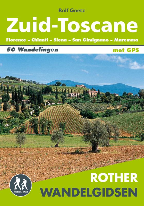
- Wandelgids Zuid-Toscane | Uitgeverij Elmar
- Florence - Chianti - Siena - San Gimignano - Maremma Deze wandelgids is een vertaling van de oorspronkelijke duitse versie. Het zijn klassiekers onder de wandelgidsen. Uitstekende wandelgids met een groot aantal dagtochten in dal en hooggebergte. Met praktische informatie en beperkt kaartmateriaal! Wandelingen in verschillende zwaarte... Read more
Netherlands
2012
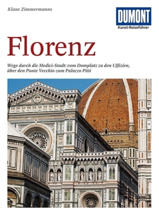
- Reisgids Kunstreiseführer Florence | Dumont
- Von woher man sich auch Florenz nähert, das erste, was man von der Toskana-Metropole wahrnimmt, ist die aus dem Dunstschleier emportauchende Domkuppel. Und mit dem weiten Blick von dort oben beginnt Klaus Zimmermanns seine umfassende Kulturgeschichte der Stadt am Arno. Dabei bürgen Namen wie Giotto, Fra Angelico, Botticelli, Brunelleschi,... Read more
Netherlands
2016
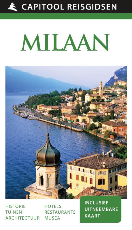
- Reisgids Capitool Reisgidsen Milaan en de meren | Unieboek
- Prachtig geillustreerde reisgids met o.a. 3D tekeningen, fraaie kaarten en geweldige foto’s. Daarnaast uitgebreide achtergrondbeschrijvingen. Echt om in de stemming te komen! Groot formaat gids. De modestad Milaan is, behalve een van de grote financiële en economische metropolen van Europa, ook rijk aan geschiedenis, kunst en architectuur. De... Read more
Netherlands
2010
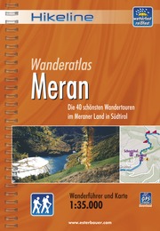
- Wandelgids Hikeline Meran | Esterbauer
- Handzame gids met een goede beschrijving van een groot aantal dagtochten in dit gebied. De gids is in spiraalbinding en elke pagina is op scheur- en watervast papier gedrukt. Daar is echt over nagedacht! Meran in Südtirol, Italien liegt am Schnittpunkt des Passeiertales, des Etschtales und des Vinschgaus. Nördlich des Meraner Talkessels schirmt... Read more

Karten

United Kingdom
- Altopiano dei sette comuni
- Altopiano dei Sette Comuni - Asiago in a series of Tabacco maps at 1:25,000 covering the Dolomites and the mountains of north-eastern Italy - Stanfords’ most popular coverage for this region, with excellent cartography and extensive overprint for hiking routes and other recreational activities, local bus stops, etc. Additional overprint in this... Read more
- Also available from:
- De Zwerver, Netherlands
- Stanfords, United Kingdom
Netherlands
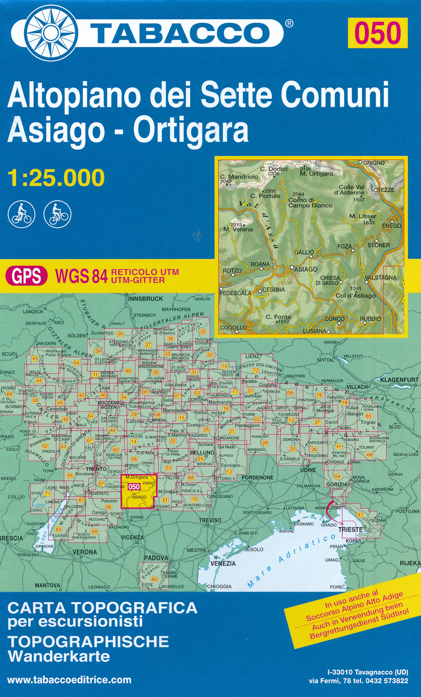
- Wandelkaart 050 Altopiano dei Sette Comuni - Asiago - Ortigara | Tabacco Editrice
- Altopiano dei Sette Comuni - Asiago in a series of Tabacco maps at 1:25,000 covering the Dolomites and the mountains of north-eastern Italy - Stanfords’ most popular coverage for this region, with excellent cartography and extensive overprint for hiking routes and other recreational activities, local bus stops, etc. Additional overprint in this... Read more

United Kingdom
- Altopiano dei Sette Comuni - Asiago - Ortigara Tabacco 050
- Altopiano dei Sette Comuni - Asiago in a series of Tabacco maps at 1:25,000 covering the Dolomites and the mountains of north-eastern Italy - Stanfords’ most popular coverage for this region, with excellent cartography and extensive overprint for hiking routes and other recreational activities, local bus stops, etc. Additional overprint in this... Read more

United Kingdom
- Prealpi Giulie, Vali del Torre 2019
- Prealpi Giulie - Valli del Torre area in a series of Tabacco maps at 1:25,000 covering the Dolomites and the mountains of north-eastern Italy - Stanfords Read more
- Also available from:
- De Zwerver, Netherlands
- Stanfords, United Kingdom
Netherlands
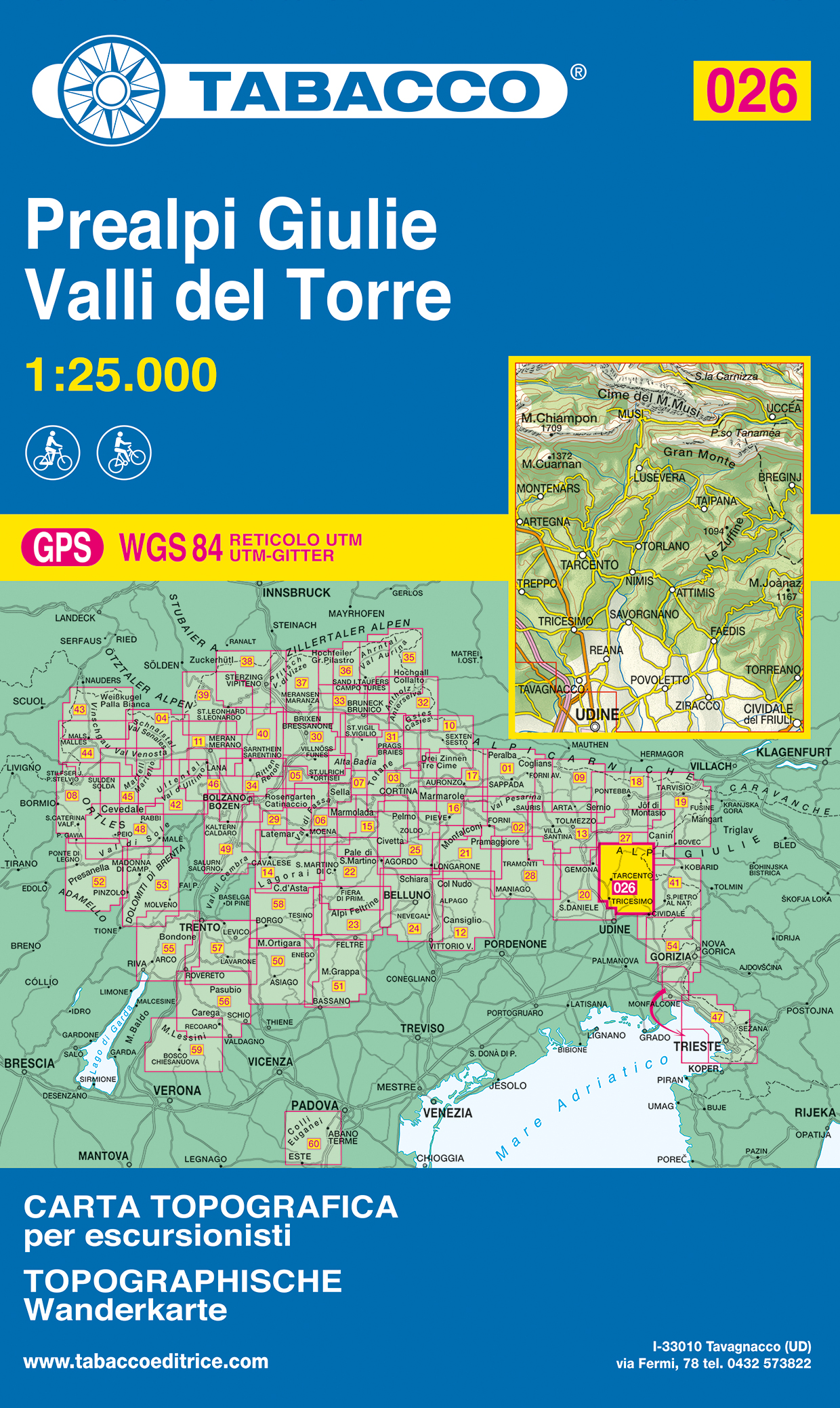
- Wandelkaart 026 Prealpi Giulie - Valli del Torre | Tabacco Editrice
- Prealpi Giulie - Valli del Torre area in a series of Tabacco maps at 1:25,000 covering the Dolomites and the mountains of north-eastern Italy - Stanfords Read more

United Kingdom
- Prealpi Giulie - Valli del Torre Tabacco 026
- Prealpi Giulie - Valli del Torre area in a series of Tabacco maps at 1:25,000 covering the Dolomites and the mountains of north-eastern Italy - Stanfords’ most popular coverage for this region, with excellent cartography and extensive overprint for hiking routes and other recreational activities, local bus stops, etc. Additional overprint in... Read more

United Kingdom
- Pale di San Martino 2017
- Pale di San Martino area in a series of Tabacco maps at 1:25,000 covering the Dolomites and the mountains of north-eastern Italy - Stanfords Read more
- Also available from:
- Stanfords, United Kingdom

United Kingdom
- Pale di San Martino Tabacco 022
- Pale di San Martino area in a series of Tabacco maps at 1:25,000 covering the Dolomites and the mountains of north-eastern Italy - Stanfords’ most popular coverage for this region, with excellent cartography and extensive overprint for hiking routes and other recreational activities, local bus stops, etc. Additional overprint in this title... Read more

United Kingdom
2019
- Livigno / Bormio / Passo del Bernina
- De beste wandelkaarten voor de Dolomieten. Zeer veel topografische details met secure hoogtelijnen (25 meter interval), helder kleurgebruik en bijna alle Tabacco kaarten hebben een UTM grid (voor GPS toepasbaar). Daarnaast zijn op deze wandelkaarten wandelroutes ingetekend met nummering gelijk aan markering onderweg aangebracht door de lokale... Read more
- Also available from:
- De Zwerver, Netherlands
Netherlands
2019
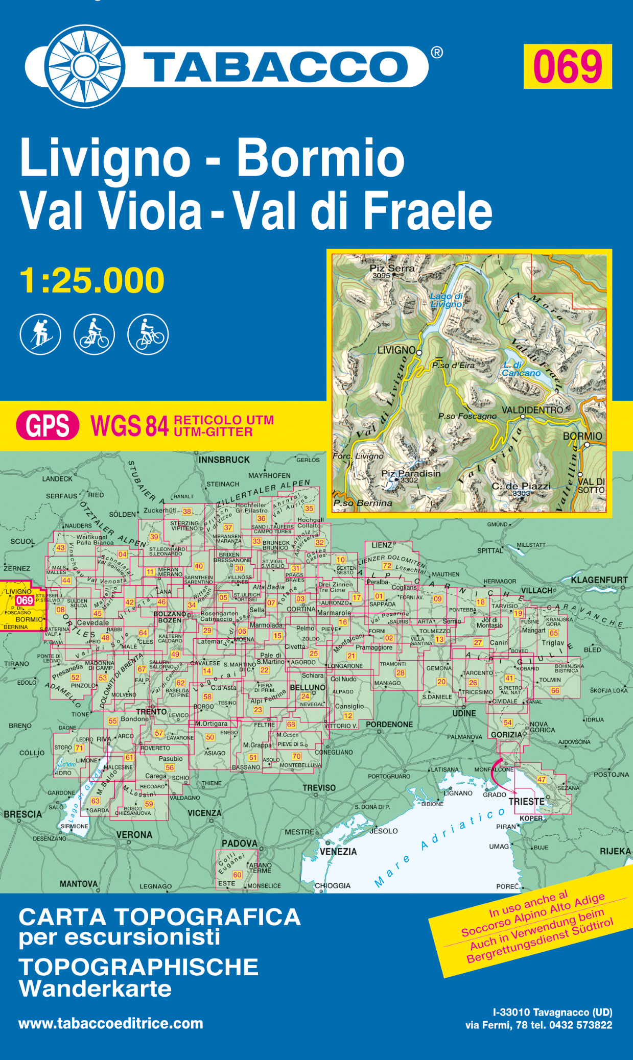
- Wandelkaart 069 Livigno - Bormio - Val Viola - Val di Fraele | Tabacco Editrice
- De beste wandelkaarten voor de Dolomieten. Zeer veel topografische details met secure hoogtelijnen (25 meter interval), helder kleurgebruik en bijna alle Tabacco kaarten hebben een UTM grid (voor GPS toepasbaar). Daarnaast zijn op deze wandelkaarten wandelroutes ingetekend met nummering gelijk aan markering onderweg aangebracht door de lokale... Read more

United Kingdom
- Alpi Feltrine, Le Vette 2019
- De beste wandelkaarten voor de Dolomieten. Zeer veel topografische details met secure hoogtelijnen (25 meter interval), helder kleurgebruik en bijna alle Tabacco kaarten hebben een UTM grid (voor GPS toepasbaar). Daarnaast zijn op deze wandelkaarten wandelroutes ingetekend met nummering gelijk aan markering onderweg aangebracht door de lokale... Read more
- Also available from:
- Stanfords, United Kingdom

United Kingdom
- Alpi Feltrine - La Vètte - Cimònega Tabacco 023
- Alpi Feltrine - La Vètte - Cimònega area in a series of Tabacco maps at 1:25,000 covering the Dolomites and the mountains of north-eastern Italy - Stanfords’ most popular coverage for this region, with excellent cartography and extensive overprint for hiking routes and other recreational activities, local bus stops, etc. Additional overprint in... Read more

United Kingdom
- Marmolada, Pelmo, Civetta, Moi 2016
- De beste wandelkaarten voor de Dolomieten. Zeer veel topografische details met secure hoogtelijnen (25 meter interval), helder kleurgebruik en bijna alle Tabacco kaarten hebben een UTM grid (voor GPS toepasbaar). Daarnaast zijn op deze wandelkaarten wandelroutes ingetekend met nummering gelijk aan markering onderweg aangebracht door de lokale... Read more
- Also available from:
- Stanfords, United Kingdom

United Kingdom
- Marmolada - Pelmo - Civetta - Maiozza Tabacco 015
- Marmolada - Pelmo - Civetta – Maiozza area in a series of Tabacco maps at 1:25,000 covering the Dolomites and the mountains of north-eastern Italy - Stanfords’ most popular coverage for this region, with excellent cartography and extensive overprint for hiking routes and other recreational activities, local bus stops, etc. Additional overprint... Read more

United Kingdom
- Prealpi Carniche E Giulie
- Prealpi Carniche e Giuli de Gemonese area in a series of Tabacco maps at 1:25,000 covering the Dolomites and the mountains of north-eastern Italy - Stanfords Read more
- Also available from:
- De Zwerver, Netherlands
- Stanfords, United Kingdom
Netherlands
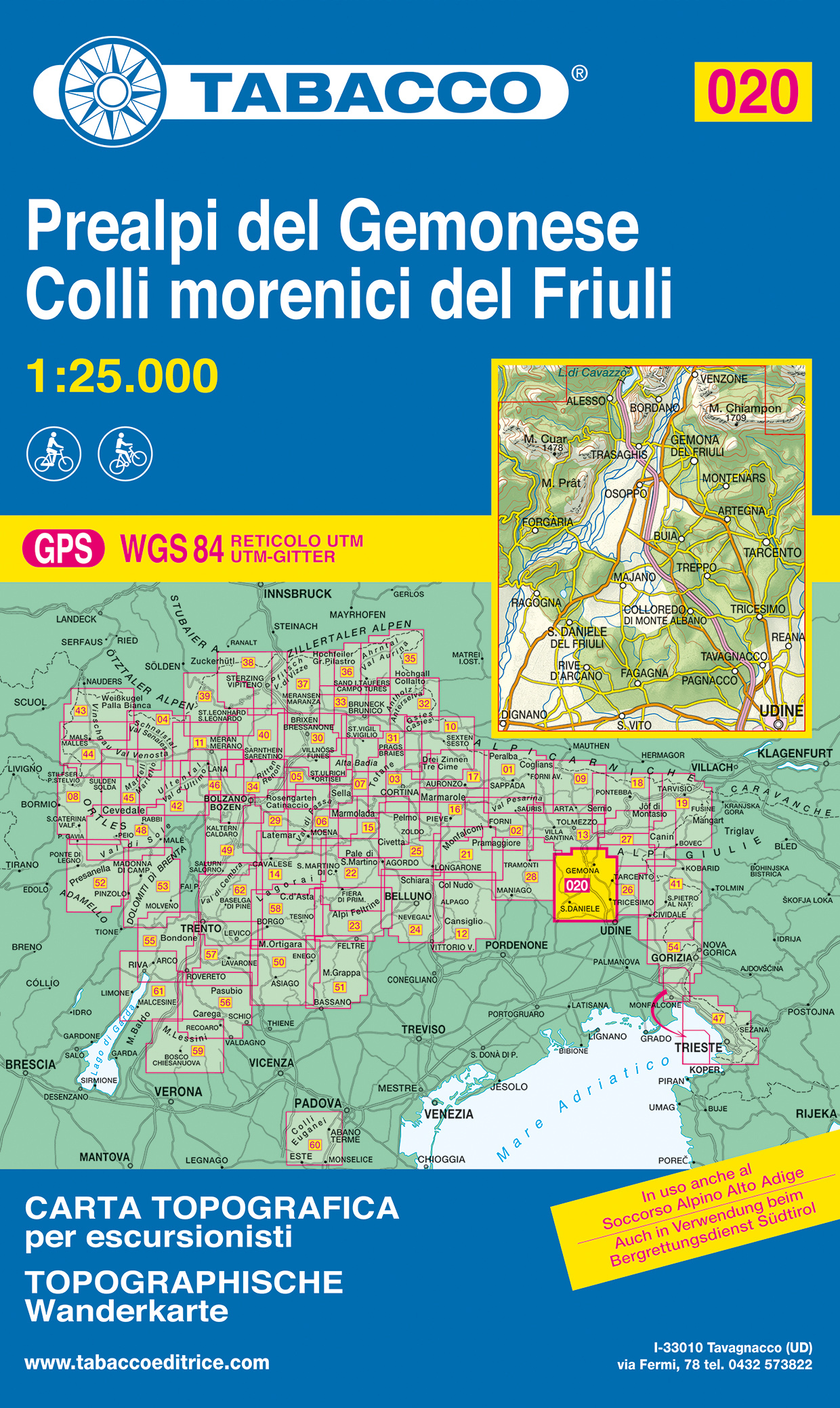
- Wandelkaart 020 Prealpi del Gemonese - Colli morecini del Friuli | Tabacco Editrice
- Prealpi Carniche e Giuli de Gemonese area in a series of Tabacco maps at 1:25,000 covering the Dolomites and the mountains of north-eastern Italy - Stanfords Read more

United Kingdom
- Prealpi Carniche e Giuli de Gemonese Tabacco 020
- Prealpi Carniche e Giuli de Gemonese area in a series of Tabacco maps at 1:25,000 covering the Dolomites and the mountains of north-eastern Italy - Stanfords’ most popular coverage for this region, with excellent cartography and extensive overprint for hiking routes and other recreational activities, local bus stops, etc. Additional overprint... Read more

United Kingdom
- Bolzano, Renon 2021
- Bolzano/Bozen - Renon/Ritten area in a series of Tabacco maps at 1:25,000 covering the Dolomites and the mountains of north-eastern Italy - Stanfords Read more
- Also available from:
- Stanfords, United Kingdom

United Kingdom
- Bolzano / Bozen - Renon / Ritten Tabacco 034
- Bolzano/Bozen - Renon/Ritten area in a series of Tabacco maps at 1:25,000 covering the Dolomites and the mountains of north-eastern Italy - Stanfords’ most popular coverage for this region, with excellent cartography and extensive overprint for hiking routes and other recreational activities, local bus stops, etc. Additional overprint in this... Read more

United Kingdom
- Vallee di Anterselva / Casies
- Dolomiti di Braies/Pragser Dolomiten - Marebbe/Ennberg area in a series of Tabacco maps at 1:25,000 covering the Dolomites and the mountains of north-eastern Italy - Stanfords Read more
- Also available from:
- Stanfords, United Kingdom

United Kingdom
- Val Anterselva / Antholz - Val Casies / Gsieser Tal Tabacco 032
- Dolomiti di Braies/Pragser Dolomiten - Marebbe/Ennberg area in a series of Tabacco maps at 1:25,000 covering the Dolomites and the mountains of north-eastern Italy - Stanfords’ most popular coverage for this region, with excellent cartography and extensive overprint for hiking routes and other recreational activities, local bus stops, etc.... Read more

United Kingdom
- Sciliar, Segkerb, Catinaccio
- De beste wandelkaarten voor de Dolomieten. Zeer veel topografische details met secure hoogtelijnen (25 meter interval), helder kleurgebruik en bijna alle Tabacco kaarten hebben een UTM grid (voor GPS toepasbaar). Daarnaast zijn op deze wandelkaarten wandelroutes ingetekend met nummering gelijk aan markering onderweg aangebracht door de lokale... Read more
- Also available from:
- Stanfords, United Kingdom

United Kingdom
- Sciliar / Schlern - Catinaccio / Rosengarten - Latemar - Regglberg Tabacco 029
- Sciliar/Schlern - Catinaccio/Rosengarten - Latemar – Regglberg area in a series of Tabacco maps at 1:25,000 covering the Dolomites and the mountains of north-eastern Italy - Stanfords’ most popular coverage for this region, with excellent cartography and extensive overprint for hiking routes and other recreational activities, local bus stops,... Read more

United Kingdom
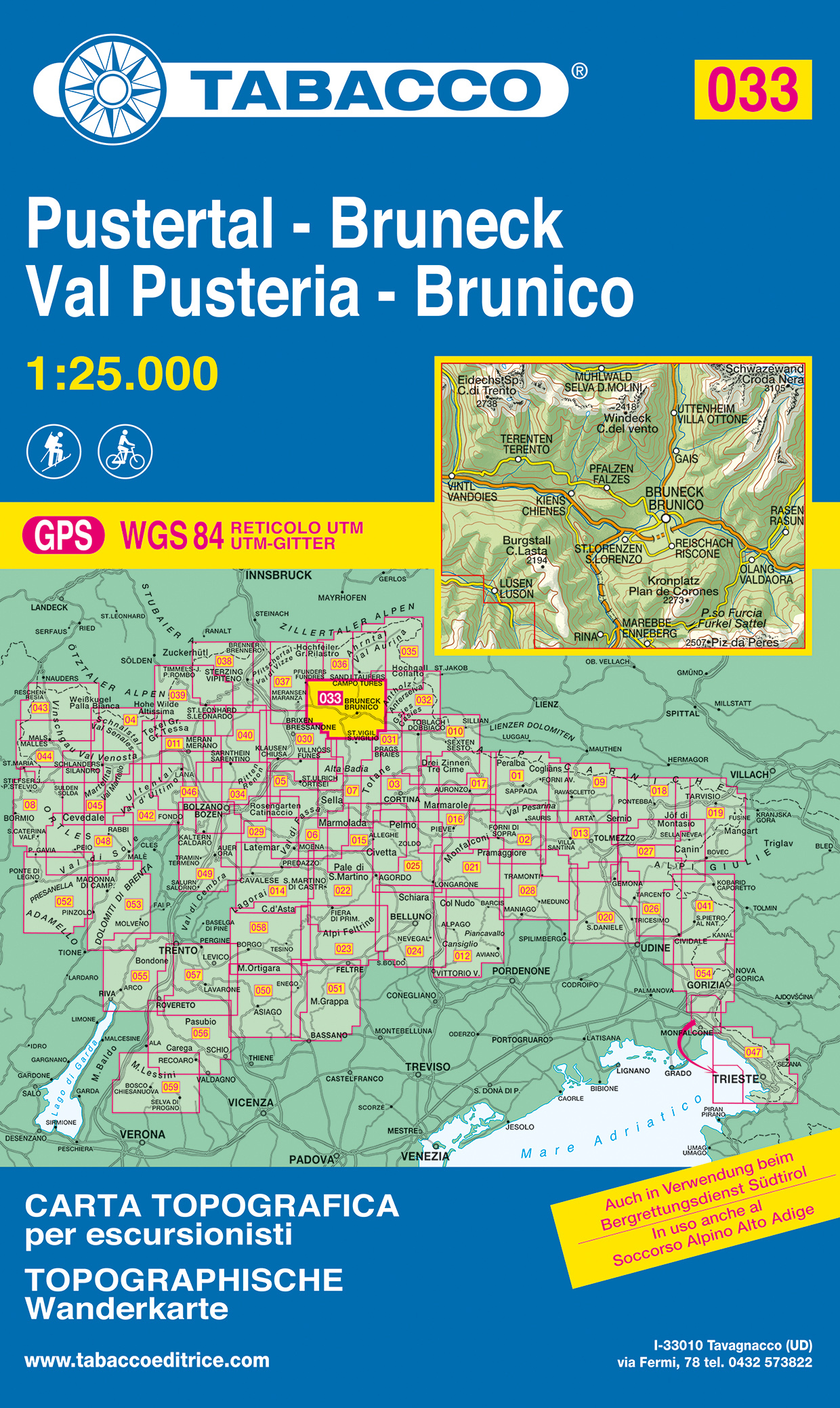
- Val Pusteria, Brunico 2017
- Val Pusteria/Pustertal - Brunico/Bruneck area in a series of Tabacco maps at 1:25,000 covering the Dolomites and the mountains of north-eastern Italy - Stanfords Read more
- Also available from:
- De Zwerver, Netherlands
- Stanfords, United Kingdom
Netherlands
- Wandelkaart 033 Pustertal - Bruneck - Val Pusteria - Brunico | Tabacco Editrice
- Val Pusteria/Pustertal - Brunico/Bruneck area in a series of Tabacco maps at 1:25,000 covering the Dolomites and the mountains of north-eastern Italy - Stanfords Read more

United Kingdom
- Val Pusteria / Pustertal - Brunico / Bruneck Tabacco 033
- Val Pusteria/Pustertal - Brunico/Bruneck area in a series of Tabacco maps at 1:25,000 covering the Dolomites and the mountains of north-eastern Italy - Stanfords’ most popular coverage for this region, with excellent cartography and extensive overprint for hiking routes and other recreational activities, local bus stops, etc. Additional... Read more

United Kingdom
- Bressanone, Val di Funes 2018
- De beste wandelkaarten voor de Dolomieten. Zeer veel topografische details met secure hoogtelijnen (25 meter interval), helder kleurgebruik en bijna alle Tabacco kaarten hebben een UTM grid (voor GPS toepasbaar). Daarnaast zijn op deze wandelkaarten wandelroutes ingetekend met nummering gelijk aan markering onderweg aangebracht door de lokale... Read more
- Also available from:
- Stanfords, United Kingdom

United Kingdom
- Bressanone / Brixen - Val di Funes / Vollnosstal Tabacco 030
- Bressanone/Brixen - Val di Funes/Vollnösstal area in a series of Tabacco maps at 1:25,000 covering the Dolomites and the mountains of north-eastern Italy - Stanfords’ most popular coverage for this region, with excellent cartography and extensive overprint for hiking routes and other recreational activities, local bus stops, etc.To see the list... Read more

United Kingdom
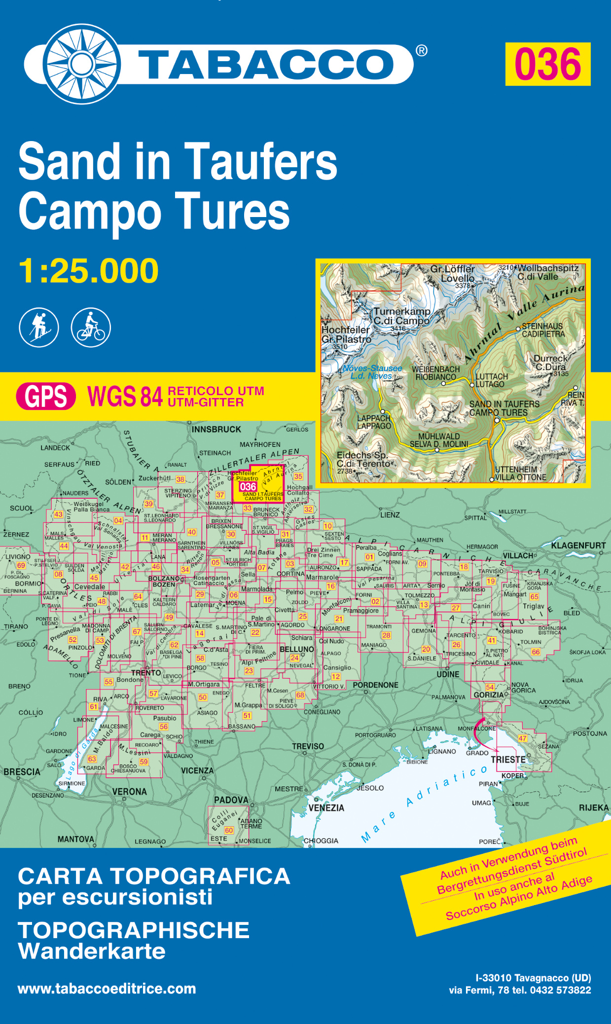
- Campo Tures, Sand in Taufers
- Campo Tures/Sand in Taufers area in a series of Tabacco maps at 1:25,000 covering the Dolomites and the mountains of north-eastern Italy - Stanfords Read more
- Also available from:
- De Zwerver, Netherlands
- Stanfords, United Kingdom
Netherlands
- Wandelkaart 036 Sand in Taufers - Campo Tures | Tabacco Editrice
- Campo Tures/Sand in Taufers area in a series of Tabacco maps at 1:25,000 covering the Dolomites and the mountains of north-eastern Italy - Stanfords Read more

United Kingdom
- Campo Tures / Sand in Taufers Tabacco 036
- Campo Tures/Sand in Taufers area in a series of Tabacco maps at 1:25,000 covering the Dolomites and the mountains of north-eastern Italy - Stanfords’ most popular coverage for this region, with excellent cartography and extensive overprint for hiking routes and other recreational activities, local bus stops, etc. Additional overprint in this... Read more

United Kingdom
- Prealpi Carniche, Val Tagliame
- Prealpi Carniche - Val Tagliamento area in a series of Tabacco maps at 1:25,000 covering the Dolomites and the mountains of north-eastern Italy - Stanfords Read more

United Kingdom
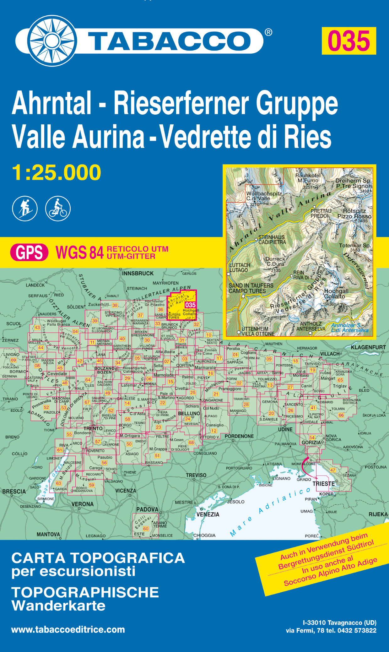
- Vallee Aurina, Vedrette di Ries
- Val Aurina/Ahrntal - Vedrette di Ries/Reiserferner Gruppe area in a series of Tabacco maps at 1:25,000 covering the Dolomites and the mountains of north-eastern Italy - Stanfords Read more
- Also available from:
- De Zwerver, Netherlands
- Stanfords, United Kingdom
Netherlands
- Wandelkaart 035 Ahrntal - Rieserferner Gruppe - Valle Aurina - Vedrette di Ries | Tabacco Editrice
- Val Aurina/Ahrntal - Vedrette di Ries/Reiserferner Gruppe area in a series of Tabacco maps at 1:25,000 covering the Dolomites and the mountains of north-eastern Italy - Stanfords Read more

United Kingdom
- Val Aurina / Ahrntal - Vedrette di Ries / Reiserferner Gruppe Tabacco 035
- Val Aurina/Ahrntal - Vedrette di Ries/Reiserferner Gruppe area in a series of Tabacco maps at 1:25,000 covering the Dolomites and the mountains of north-eastern Italy - Stanfords’ most popular coverage for this region, with excellent cartography and extensive overprint for hiking routes and other recreational activities, local bus stops, etc.... Read more