
Ortler
Beschreibung
Karte


Wanderwege Region
Links
Fakten
Berichte
Führer und Karten
Übernachtung
Organisationen
Reisebüros
GPS
Sonstiges
Bücher
De Zwerver
Netherlands
2021
Netherlands
2021
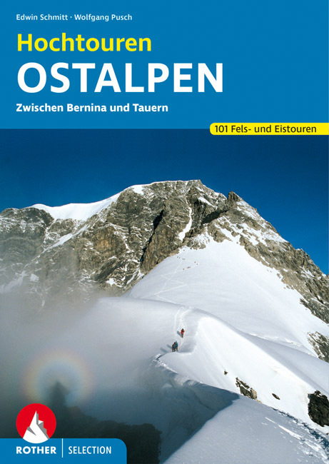
- Wandelgids Hochtouren Ostalpen | Rother Bergverlag
- Das Hochtourenbuch für die Ostalpen – zum Planen, Schmökern und Träumen! Piz Bernina, Piz Palü, Ortler, Adamello, Großglockner, Hochalmspitze ... - große Namen von großen Bergen sind in diesem Buch versammelt, samt der klassischen Anstiege, die jeder hochgebirgserfahrene Bergsteiger irgendwann in seinem Tourenbuch stehen haben will. Die... Read more
De Zwerver
Netherlands
2012
Netherlands
2012
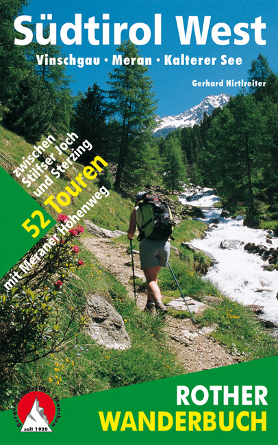
- Wandelgids Südtirol West - zuid tirol | Rother Bergverlag
- De ‘Rother Wanderbücher’ behandelen telkens de 50 mooiste wandelingen, die variëren van eenvoudige kindvriendelijke wandelingen tot routes die aanzienlijk meer ervaring vereisen. Uitvoerige routebeschrijvingen, een aantrekkelijke lay-out met vele kleurenfoto’s, niets aan duidelijkheid te wensen gelaten hoogteprofielen, kaartjes met de... Read more
De Zwerver
Netherlands
2022
Netherlands
2022
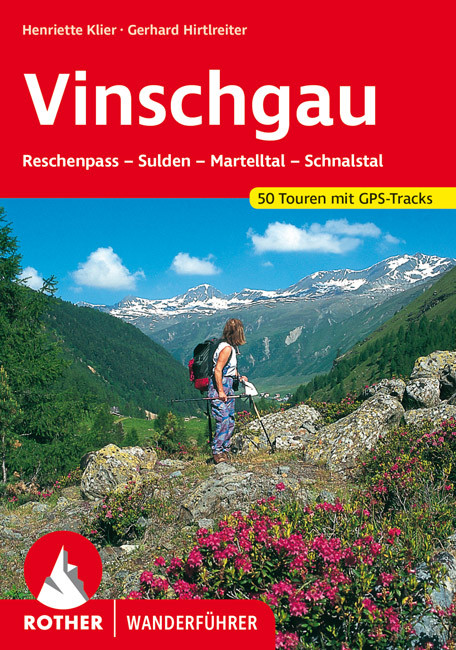
- Wandelgids 99 Vinschgau | Rother Bergverlag
- Uitstekende wandelgids met 50 dagtochten in dal en hooggebergte. Met praktische informatie en beperkt kaartmateriaal! Wandelingen in verschillende zwaarte weergegeven in rood/blauw/zwart. Duits. Der Vinschgau, der das Etschtal vom Reschenpass bis zur Talenge vor Töll bei Meran sowie das Schnalstal, das Martelltal und das Suldener Tal erfasst,... Read more
De Zwerver
Netherlands
2014
Netherlands
2014
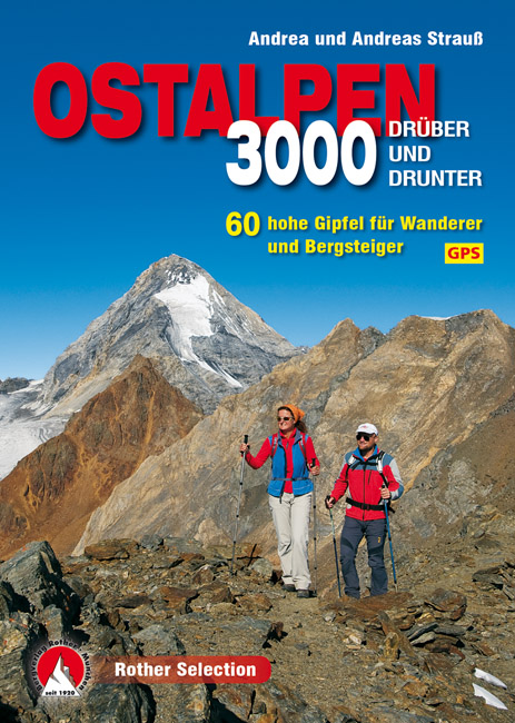
- Wandelgids 3000er Ostalpen. Drüber und drunter | Rother Bergverlag
- Die Gipfel um die Dreitausend Meter sind die Aussichtslogen der Ostalpen. Sie stehen auf der Wunschliste von Wanderern und Bergsteigern meist ganz weit oben. Zwischen Lechtaler Alpen, Ortler, Dolomiten und Tauern findet sich eine breite Auswahl an Bergzielen um diese magische Höhe. Einige lassen sich in einer Tagestour begehen, andere bieten... Read more

Stanfords
United Kingdom
United Kingdom
- Ortles / Ortler - Cevedale Kompass 077
- Ortles/Ortler - Cevedale area at 1:25,000 on a durable, waterproof and tear-resistant map from Kompass in their series of detailed maps of the Dolomites.CARTOGRAPHY: Kompass maps of the Dolomites at 1:25,000 have contours at 25-m intervals. An overprint shows local and long-distance footpaths, including all the high level routes (Alte Vie). The... Read more
Bol.com
Netherlands
Netherlands
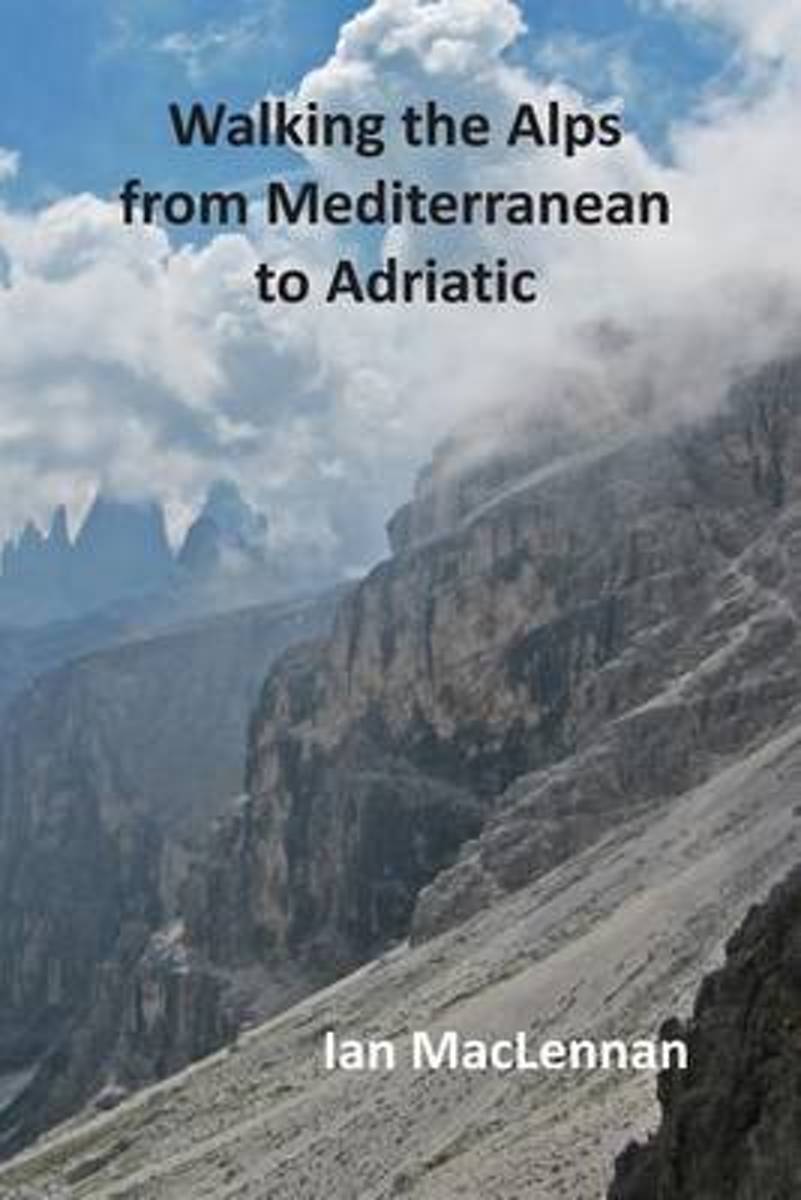
- Walking the Alps from Mediterranean to Adriatic
- This 82-day walk through the Alps starts at Menton on the Mediterranean coast and follows the French-Italian boarder hills to Lake Geneva. The route then continues through the Swiss Alps crossing the Bernese Oberland and the Bernina Alps before entering the Südtyrol. Here the journey traverses the Ortler range and the Dolomites to their... Read more
- Also available from:
- Bol.com, Belgium
Bol.com
Belgium
Belgium
- Walking the Alps from Mediterranean to Adriatic
- This 82-day walk through the Alps starts at Menton on the Mediterranean coast and follows the French-Italian boarder hills to Lake Geneva. The route then continues through the Swiss Alps crossing the Bernese Oberland and the Bernina Alps before entering the Südtyrol. Here the journey traverses the Ortler range and the Dolomites to their... Read more
Bol.com
Netherlands
1995
Netherlands
1995
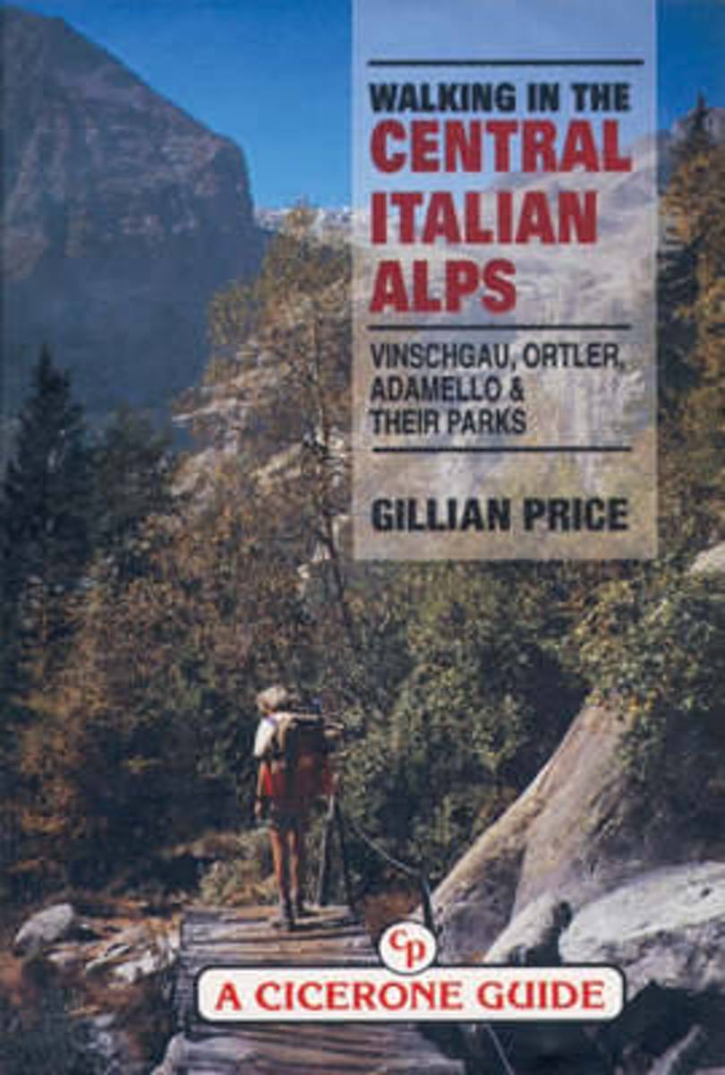
- Walking in the Central Italian Alps
- Guidebook by local expert Gillian Price to walking and trekking in the Central Italian Alps, Italy, Europe presenting a kaleidoscope of walking routes through Italy's largest National Park as well as several Nature Parks. Unusual wildlife, brilliant flora at incredible altitudes, desolate glacial valleys and picturesque legends about the icy... Read more
- Also available from:
- Bol.com, Belgium
Bol.com
Belgium
1995
Belgium
1995
- Walking in the Central Italian Alps
- Guidebook by local expert Gillian Price to walking and trekking in the Central Italian Alps, Italy, Europe presenting a kaleidoscope of walking routes through Italy's largest National Park as well as several Nature Parks. Unusual wildlife, brilliant flora at incredible altitudes, desolate glacial valleys and picturesque legends about the icy... Read more
Bol.com
Netherlands
Netherlands
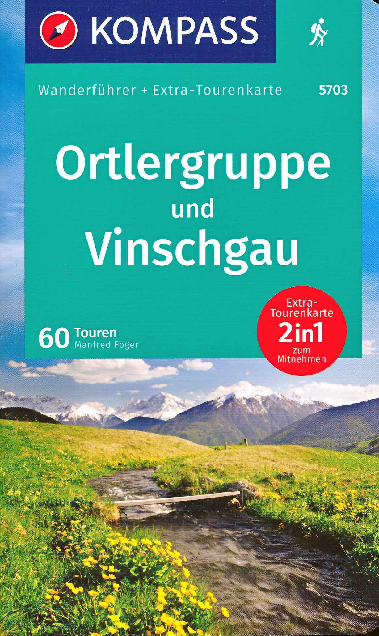
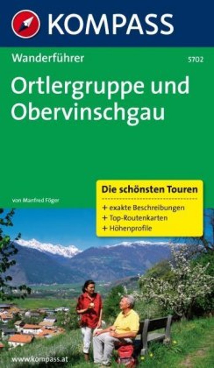
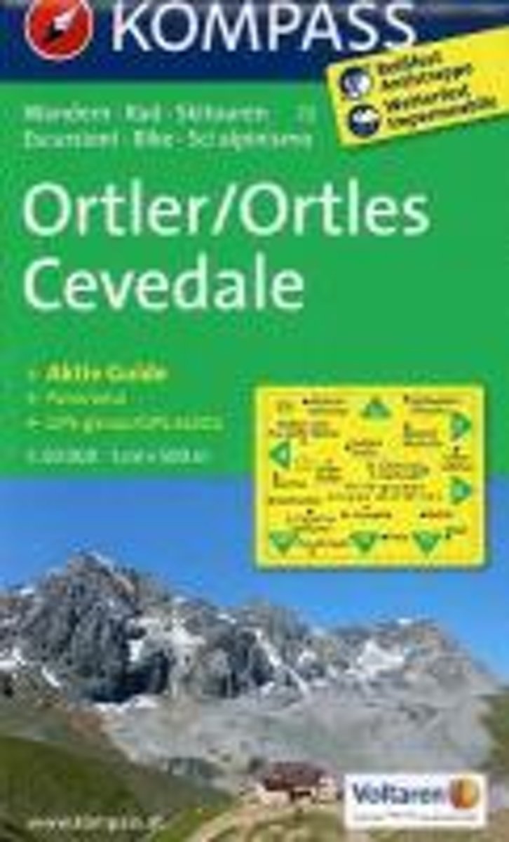
- WF5702 Ortlergruppe und Obervinschgau Kompass
- De Kompass wandelgids + kaart geeft een overzicht van alle wandelroutes in het gebied met nauwkeurige routeaanwijzingen en hoogteaanduidingen, De extra grote kaart, schaal 1:35 000, is ideaal om van te voren uw route uit te stippelen en om onderweg te gebruiken • naast de bekende bestemmingen, worden ook de minder bekende vermeld • openbaar... Read more
- Also available from:
- Bol.com, Belgium
Bol.com
Belgium
Belgium
- WF5702 Ortlergruppe und Obervinschgau Kompass
- De Kompass wandelgids + kaart geeft een overzicht van alle wandelroutes in het gebied met nauwkeurige routeaanwijzingen en hoogteaanduidingen, De extra grote kaart, schaal 1:35 000, is ideaal om van te voren uw route uit te stippelen en om onderweg te gebruiken • naast de bekende bestemmingen, worden ook de minder bekende vermeld • openbaar... Read more

The Book Depository
United Kingdom
2013
United Kingdom
2013
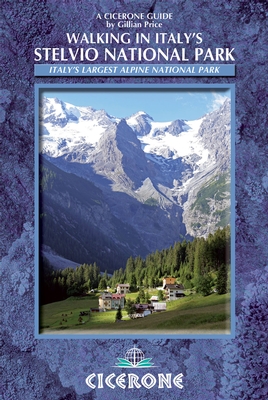
- Walking in Italy's Stelvio National Park
- Italy's largest alpine national park Read more
- Also available from:
- De Zwerver, Netherlands
- Bol.com, Netherlands
- Bol.com, Belgium
De Zwerver
Netherlands
2013
Netherlands
2013
- Wandelgids Walking in Italy's Stelvio National Park | Cicerone
- Guidebook to the Stelvio National Park in the Italian Rhaetian Alps. The 38 day walks and hikes described offer a wide variety of routes on well-maintained and signposted paths, linking a network of picturesque villages and hospitable mountain refuges. The Stelvio National Park borders the Dolomites to the east and Switzerland to the west. Read more

Bol.com
Netherlands
2013
Netherlands
2013
- Walking in Italy's Stelvio National Park
- The 38 summer day walking routes in this guidebook explore the renowned Stelvio National Park in the Italian Rhaetian Alps. Bordering the Dolomites to the east, and Switzerland to the west, the Stelvio is one of the largest protected areas in all of the Alps. The walks explore each of the Stelvio's valleys, are graded for difficulty and range... Read more
Bol.com
Belgium
2013
Belgium
2013
- Walking in Italy's Stelvio National Park
- The 38 summer day walking routes in this guidebook explore the renowned Stelvio National Park in the Italian Rhaetian Alps. Bordering the Dolomites to the east, and Switzerland to the west, the Stelvio is one of the largest protected areas in all of the Alps. The walks explore each of the Stelvio's valleys, are graded for difficulty and range... Read more
Karten

- Also available from:
- Stanfords, United Kingdom

Stanfords
United Kingdom
United Kingdom
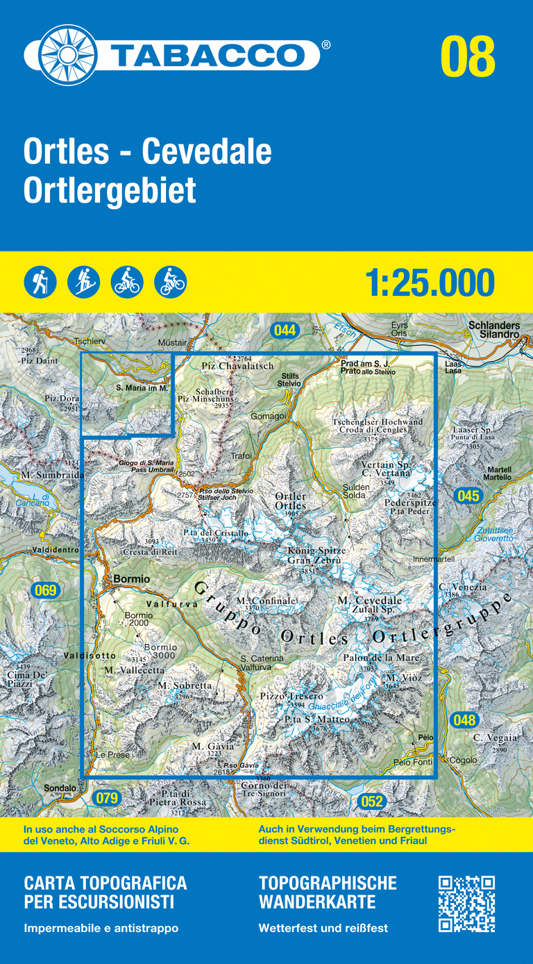
- Ortles - Cevedale / Ortlergebiet Tabacco 08
- Ortles - Cevedale /Ortlergebiet area in a series of Tabacco maps at 1:25,000 covering the Dolomites and the mountains of north-eastern Italy - Stanfords’ most popular coverage for this region, with excellent cartography and extensive overprint for hiking routes and other recreational activities, local bus stops, etc. Additional overprint in... Read more
De Zwerver
Netherlands
2023
Netherlands
2023
De Zwerver
Netherlands
2021
Netherlands
2021
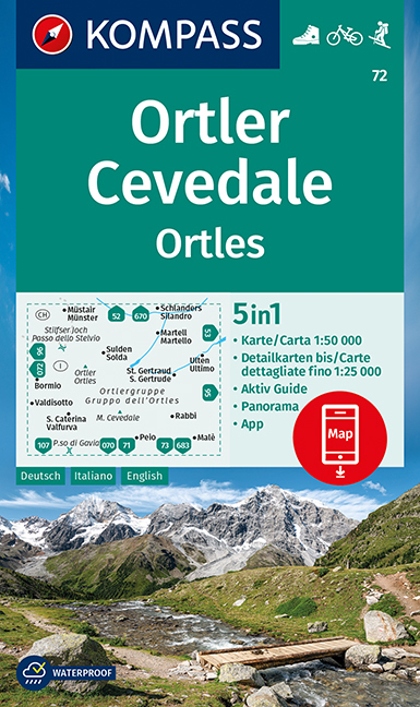
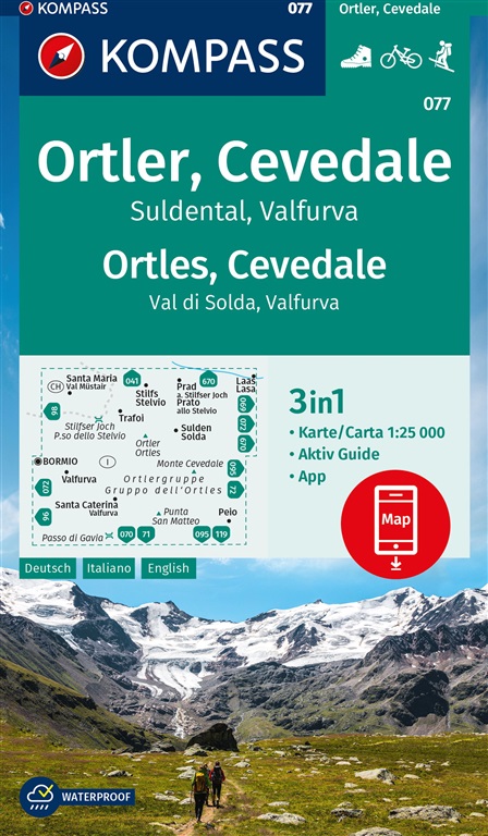
- Wandelkaart 72 Ortler/Ortles - Cevedale | Kompass
- Ortles/Ortler – Cevedale area of the Dolomites on a GPS compatible hiking and recreational map at 1:50,000 from Kompass with a panorama map on the reverse and printed on durable, waterproof and tear-resistant synthetic paper.KOMPASS HIKING MAPS OF ITALY:This title is part of an extensive series of walking maps from Kompass covering selected... Read more
- Also available from:
- Stanfords, United Kingdom

Stanfords
United Kingdom
2021
United Kingdom
2021
- Ortles / Ortler - Cevedale Kompass 72
- Ortles/Ortler – Cevedale area of the Dolomites on a GPS compatible hiking and recreational map at 1:50,000 from Kompass with a panorama map on the reverse and printed on durable, waterproof and tear-resistant synthetic paper.KOMPASS HIKING MAPS OF ITALY:This title is part of an extensive series of walking maps from Kompass covering selected... Read more

Stanfords
United Kingdom
United Kingdom
- Ortles - Cevedale / Ortlergebiet Tabacco 08
- Ortles - Cevedale /Ortlergebiet area in a series of Tabacco maps at 1:25,000 covering the Dolomites and the mountains of north-eastern Italy - Stanfords’ most popular coverage for this region, with excellent cartography and extensive overprint for hiking routes and other recreational activities, local bus stops, etc. Additional overprint in... Read more
Bol.com
Netherlands
Netherlands
- Ortler /Ortles, Cevedale WK72
- Deze Kompass wandelkaart, schaal 1:50 000, is ideaal om uw route uit te stippelen en om onderweg te gebruiken • naast de bekende bestemmingen, worden ook de minder bekende vermeld • openbaar vervoer bij begin- of eindpunt van een route aangegeven • eenvoudige wandelingen tot pittige (berg)tochten, voor getrainde en ongetrainde wandelaars • met... Read more
- Also available from:
- Bol.com, Belgium
Bol.com
Belgium
Belgium
- Ortler /Ortles, Cevedale WK72
- Deze Kompass wandelkaart, schaal 1:50 000, is ideaal om uw route uit te stippelen en om onderweg te gebruiken • naast de bekende bestemmingen, worden ook de minder bekende vermeld • openbaar vervoer bij begin- of eindpunt van een route aangegeven • eenvoudige wandelingen tot pittige (berg)tochten, voor getrainde en ongetrainde wandelaars • met... Read more
Bol.com
Netherlands
Netherlands
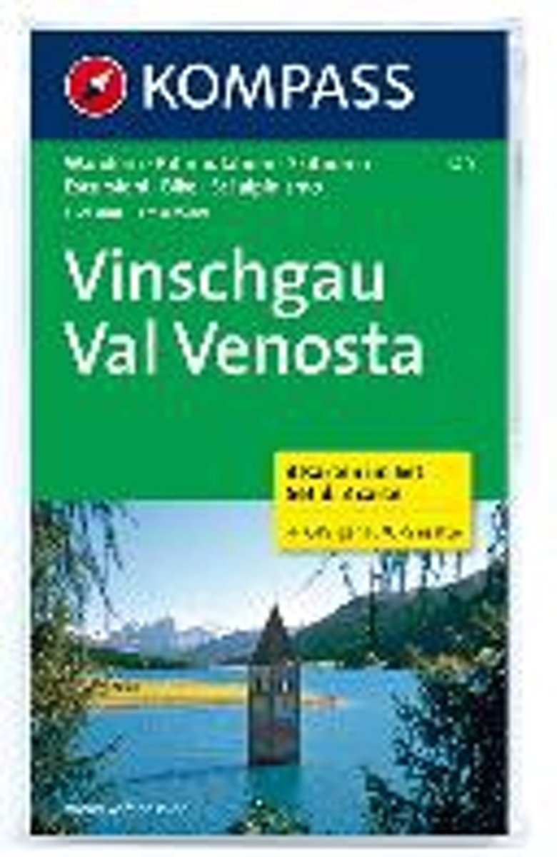
- Kompass WK670 Vinschgau / Val Venosta
- Deze Kompass wandelkaart is ideaal om uw route uit te stippelen en om onderweg te gebruiken • naast de bekende bestemmingen, worden ook de minder bekende vermeld • openbaar vervoer bij begin- of eindpunt van een route aangegeven • eenvoudige wandelingen tot pittige (berg)tochten, voor getrainde en ongetrainde wandelaars • met heel veel nieuwe... Read more
- Also available from:
- Bol.com, Belgium
Bol.com
Belgium
Belgium
- Kompass WK670 Vinschgau / Val Venosta
- Deze Kompass wandelkaart is ideaal om uw route uit te stippelen en om onderweg te gebruiken • naast de bekende bestemmingen, worden ook de minder bekende vermeld • openbaar vervoer bij begin- of eindpunt van een route aangegeven • eenvoudige wandelingen tot pittige (berg)tochten, voor getrainde en ongetrainde wandelaars • met heel veel nieuwe... Read more
Bol.com
Netherlands
Netherlands
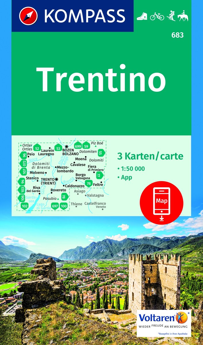
- Trentino 1:50 000
- -Die Provinz Trentino erstreckt sich vom Tonalepass im Westen bis zur Pala-Gruppe bei San Martino di Castrozza im Osten. In der Nord-Süd-Ausdehnung reicht sie von Canazei im Norden und im Süden bis zum Gardasee.-Geprägt wird die östliche Trentino-Region durch einzeln stehende Kalkmassive wie Pala- und Sellagruppe, Latemar-Rosengarten, Marmolata... Read more
- Also available from:
- Bol.com, Belgium
Bol.com
Belgium
Belgium
- Trentino 1:50 000
- -Die Provinz Trentino erstreckt sich vom Tonalepass im Westen bis zur Pala-Gruppe bei San Martino di Castrozza im Osten. In der Nord-Süd-Ausdehnung reicht sie von Canazei im Norden und im Süden bis zum Gardasee.-Geprägt wird die östliche Trentino-Region durch einzeln stehende Kalkmassive wie Pala- und Sellagruppe, Latemar-Rosengarten, Marmolata... Read more