
Monviso
Beschreibung
Region on the Italian side of the Queyras. The wider region is called the Alpi Cozie, Cottian Alps.
Karte

Links
Fakten
Berichte
Führer und Karten
Übernachtung
Organisationen
Reisebüros
GPS
Sonstiges
Bücher
De Zwerver
Netherlands
2021
Netherlands
2021
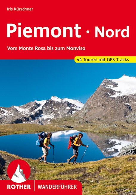
- Wandelgids 77 Piemonte Piemont - Nord | Rother Bergverlag
- Uitstekende wandelgids met een groot aantal dagtochten in dal en hooggebergte. Met praktische informatie en beperkt kaartmateriaal! Wandelingen in verschillende zwaarte weergegeven in rood/blauw/zwart 192 Seiten mit 93 Farbabbildungen 44 Höhenprofile, 44 Wanderkärtchen im Maßstab 1:25.000/1:50.000/1:75.000, eine Übersichtskarte Eine Reise ins... Read more
De Zwerver
Netherlands
2022
Netherlands
2022
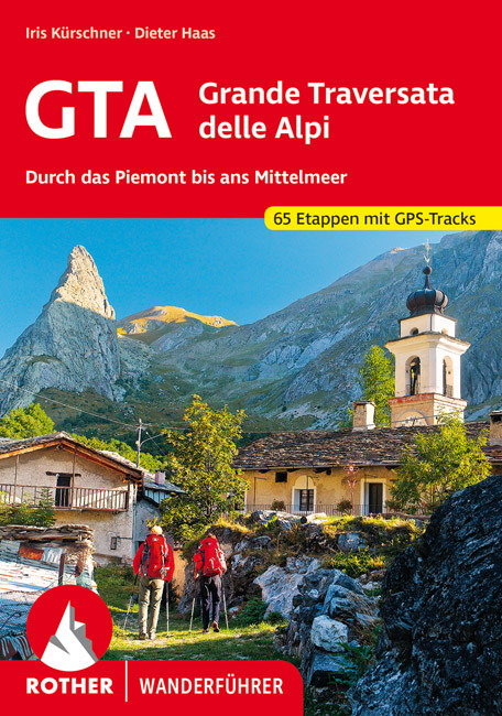
- Wandelgids GTA - Grande Traversata delle Alpi Durch das Piemont bis ans Mittelmeer | Rother Bergverlag
- Uitstekende wandelgids met beschrijving van de Grande Traversata delle Alpi. Met praktische informatie en beperkt kaartmateriaal! Wandelingen in verschillende zwaarte weergegeven in rood/blauw/zwart. Die Grande Traversata delle Alpi, kurz GTA, führt mit gewaltiger 4000er-Kulisse vom Nufenenpass an der Schweizer Grenze auf alten Saumwegen durch... Read more
De Zwerver
Netherlands
2019
Netherlands
2019
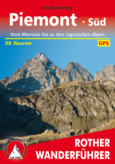
- Wandelgids 78 Piemont - Süd (Piemonte zuid) | Rother Bergverlag
- Uitstekende wandelgids met een groot aantal dagtochten in dal en hooggebergte. Met praktische informatie en beperkt kaartmateriaal! Wandelingen in verschillende zwaarte weergegeven in rood/blauw/zwart. In der zweitgrößten Region Italiens schlummern Schätze, die erst allmählich vom Tourismus entdeckt werden und deren Erkundung fast schon einer... Read more
Karten

De Zwerver
Netherlands
2017
Netherlands
2017
- Wandelkaart 06 Monviso | IGC - Istituto Geografico Centrale
- Monviso / Monte Viso cross-border area with coverage from Châteaux Queyras to Sampeyre and from the Grand Queyron to the Aiguille de Chambeyron in a series contoured hiking maps at 1:50,000 with local trails, long-distance footpaths, mountain accommodation, etc. from the Turin based Istituto Geografico Centrale.Maps in this series have contours... Read more
- Also available from:
- Stanfords, United Kingdom

Stanfords
United Kingdom
2017
United Kingdom
2017
- Monviso IGC 6
- Monviso / Monte Viso cross-border area with coverage from Châteaux Queyras to Sampeyre and from the Grand Queyron to the Aiguille de Chambeyron in a series contoured hiking maps at 1:50,000 with local trails, long-distance footpaths, mountain accommodation, etc. from the Turin based Istituto Geografico Centrale.Maps in this series have contours... Read more
De Zwerver
Netherlands
2017
Netherlands
2017
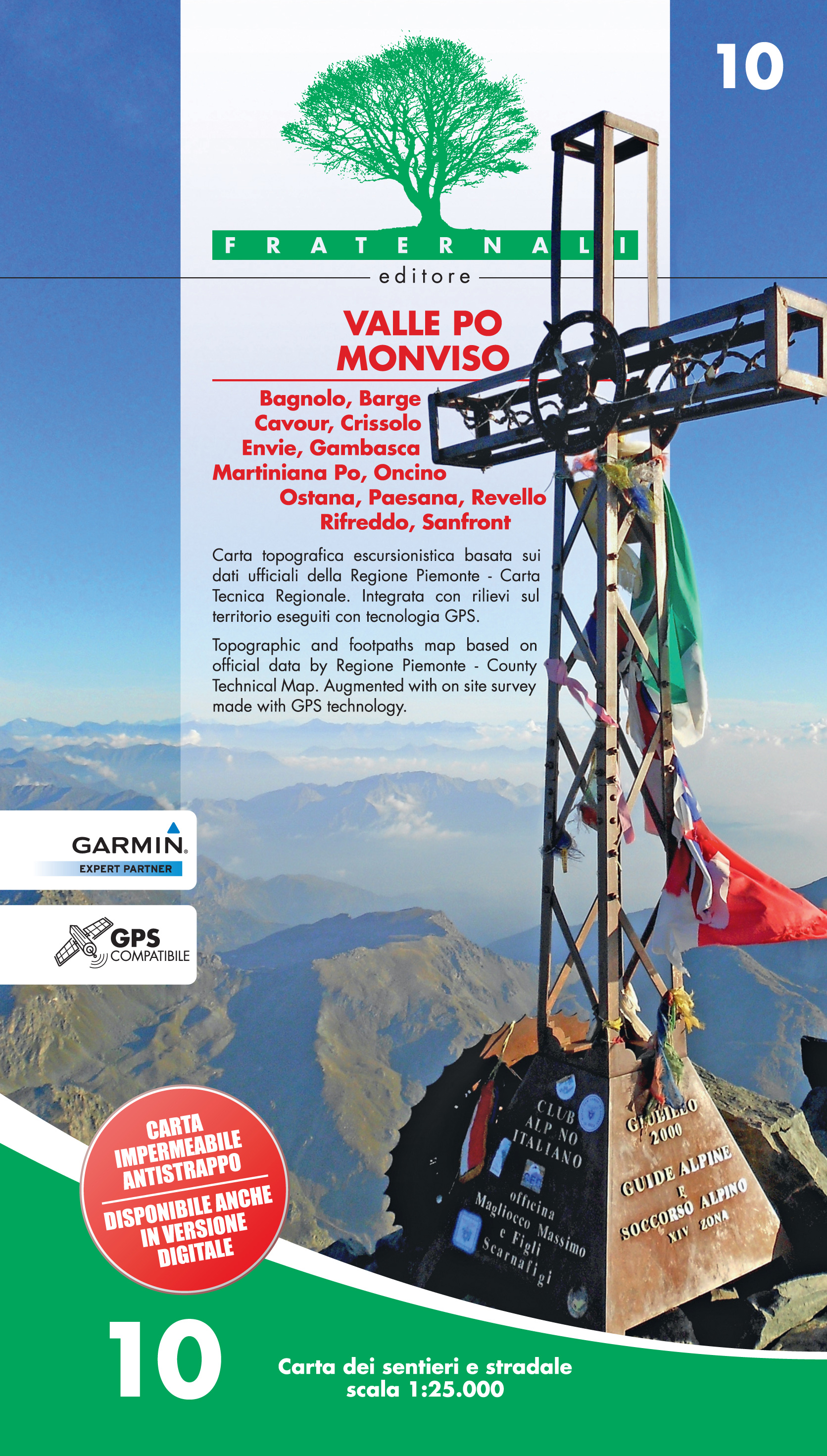
- Wandelkaart 10 Valle Po Monviso | Fraternali Editore
- Gebied: Bagnolo, Barge, Cavour, Crissolo, Envie, Gambasca, Martiniana Po, Oncino, Ostana, Paesana, Revello, Rifreddo, Sanfront Een uitstekende wandelkaart van de westkant van Italie waar tot voor kort geen echt goede kaarten beschikbaar waren. De lokale uitgeverij Fraternali heeft een prachtige serie gemaakt van wandelkaarten met schaal... Read more
- Also available from:
- Stanfords, United Kingdom

Stanfords
United Kingdom
2017
United Kingdom
2017
- Valle Po - Monviso - Monte Bracco
- Valle Po - Monviso - Monte Bracco area of the Italian Alps presented at 1:25,000 in a series of large, contoured and GPS compatible walking maps from Fraternali Editore, printed on light, waterproof and tear-resistant synthetic paper. Maps in this series have topography shown by contour lines at 5m intervals with relief shading, spot heights,... Read more
De Zwerver
Netherlands
Netherlands
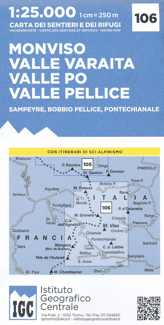
- Wandelkaart 106 Monviso, Valle Varaita, Valle Po, Valle Pellice | IGC - Istituto Geografico Centrale
- M. Viso - Sampeyre - Bobbio Pellice area at 1:25,000 in a series of contoured, GPS compatible walking maps from the Turin based Istituto Geografico Centrale, highlighting hiking trails including long-distance routes, ski routes and alpine accommodation. The maps have contours at 25m intervals, enhanced by shading and graphic relief for very... Read more
- Also available from:
- Stanfords, United Kingdom

Stanfords
United Kingdom
United Kingdom
- Monviso - Valle Varaita - Valle Po - Valle Pellice IGC 106
- Monviso - Valle Varaita - Valle Po - Valle Pellice - Sampeyre - Bobbio Pellice area of the Italian Alps at 1:25,000 in a series of contoured, GPS compatible walking maps from the Turin based Istituto Geografico Centrale, highlighting hiking trails including long-distance routes, ski routes and alpine accommodation. Maps in this series have... Read more

Stanfords
United Kingdom
United Kingdom
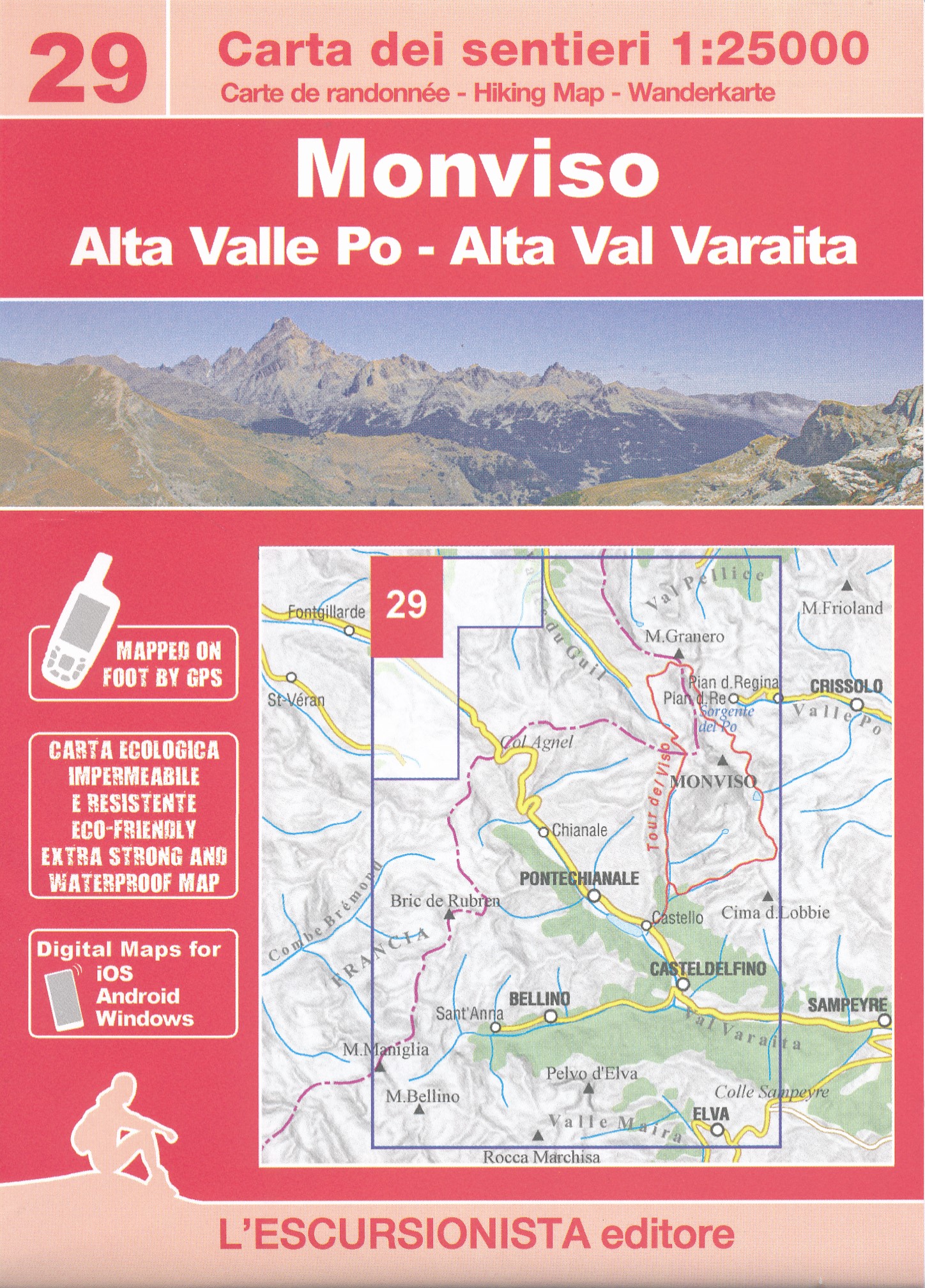
- Valle Maira l`Escursionista Editore
- Valle Maira, at 1:25,000 on a waterproof and tear-resistant, double-sided, contoured and GPS-compatible map from the Istituto Geografico Adriatico with an overprint highlighting numerous local and long-distance hiking trails, including the GTA (Grande Traversata delle Alpi). The map shows various types of accommodation (huts and refuges, B&Bs,... Read more