
Trentino
Beschreibung
Links
Fakten
Berichte
Führer und Karten
Übernachtung
Organisationen
Reisebüros
GPS
Sonstiges
Bücher

The Book Depository
United Kingdom
United Kingdom
- Sentieri Fantastici e Dove Trovarli
- Una Guida ai Percorsi Suggestivi e Unici tra Trentino, Veneto e Friuli-Venezia Giulia. Per rimanere Affascinati. Read more

The Book Depository
United Kingdom
2019
United Kingdom
2019
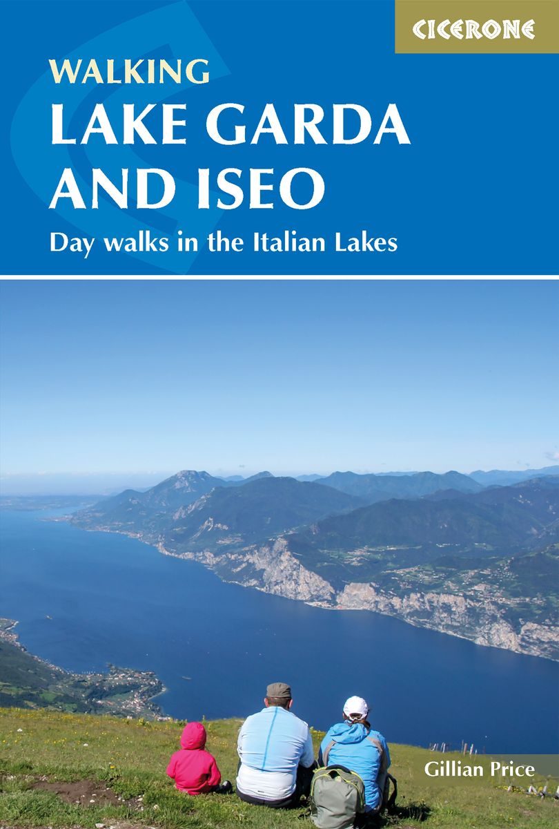
- Walking Lake Garda and Iseo
- Day walks in the Italian Lakes Read more
- Also available from:
- De Zwerver, Netherlands
- Stanfords, United Kingdom
De Zwerver
Netherlands
2019
Netherlands
2019
- Wandelgids Walking Lake Garda and Iseo | Cicerone
- Guidebook to 20 day walks around the majestic Italian lakes of Garda and Iseo. The routes, which range from leisurely strolls to more strenuous routes up panoramic peaks, offer something to suit all walkers. Invaluable practical information about public transport, accommodation and walking kit is included, together with a handy Italian glossary. Read more

Stanfords
United Kingdom
2019
United Kingdom
2019
- Walking Lake Garda & Iseo
- This guidebook describes 20 walks around Lakes Garda and Iseo in Northern Italy. The routes range from 4 to 13km in length and are graded 1 to 3. There is something for everyone, from easy leisurely strolls for first-time walkers to strenuous climbs up panoramic peaks.The clear maps, inspirational photographs and information about accommodation... Read more

The Book Depository
United Kingdom
United Kingdom
- Alla Ricerca delle Trincee Nascoste
- 14 Suggestivi Itinerari alla scoperta dei Luoghi della Grande Guerra tra Veneto, Friuli Venezia Giulia e Trentino Alto Adige. Per toccare la Storia con Mano. Read more
De Zwerver
Netherlands
2011
Netherlands
2011
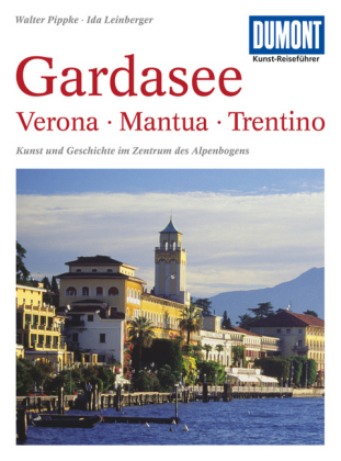
- Reisgids Kunstreiseführer Gardasee: Verona - Mantua - Trentino | Dumont
- Bis vor wenigen Jahrzehnten genossen der Lago Maggiore und der Comer See mit ihren Villen, Palästen und Gärten die ´´Kulturhoheit´´ unter den oberitalienischen Seen. Der Gardasee dagegen galt schon seit Goethes ´´Italienischer Reise´´ vorwiegend als beeindruckendes Landschaftserlebnis, als ´´Anblick der Südsee mitten im Gebirge´´. Der... Read more
De Zwerver
Netherlands
2016
Netherlands
2016
- Reisgids Trentino - Verona | Edicola
- Trento en het nog altijd overwegend Duitstalige Südtirol vormen samen Trentino-Alto Adige, twee gebieden die cultureel totaal verschillend zijn, maar samen een overweldigende natuur delen. In dit boek wordt Trentino ontsloten via de Val d'Adige vanuit Merano en via de Valle d'Isarco vanaf de Brenner. Vanaf het kruispunt Bolzano gaat de reis... Read more
De Zwerver
Netherlands
Netherlands
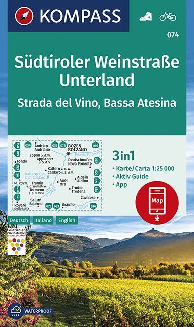
- Wandelkaart 074 Südtiroler Weinstraße - Unterland | Kompass
- Die 3in1 Wanderkarte ist jetzt noch übersichtlicher und besser lesbar. Der Aktiv Guide informiert Sie rund um das Thema Outdoor und die kostenlose App für unterwegs gibt es auch noch dazu. Das bildet die perfekte Grundlage für die Planung einer Wandertour. Die präzise Kartografie zeigt alle begehbaren Wanderwege inklusive Klassifizierung.... Read more
- Also available from:
- Stanfords, United Kingdom

Stanfords
United Kingdom
United Kingdom
- South Tyrol Wine Route - Unterland / Bassa Atesina Kompass 074
- Map No. 074, Südtiroler Weinstrasse - Unterland, from Kompass in a series providing detailed coverage of the Dolomites and Lake Garda area and supplementing their main series of walking maps of Italy at 1:50,000. Maps in this series have a more detailed base and smaller contour interval than coverage at 1:50,000.*Cartography:* maps at 1:25,000... Read more
De Zwerver
Netherlands
Netherlands
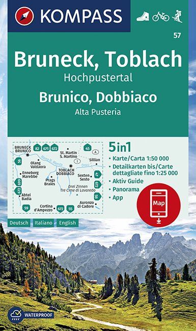
- Wandelkaart 57 Bruneck, Brunico - Toblach, Dobbiaco | Kompass
- Die 4in1 Wanderkarte ist jetzt noch übersichtlicher und besser lesbar. Die Wanderkarten aus den Top-Wanderregionen sind mit einer zusätzlichen Karte im Detailmaßstab ausgestattet. Der Aktiv Guide informiert Sie rund um das Thema Outdoor und die kostenlose App für unterwegs gibt es auch noch dazu. Das bildet die perfekte Grundlage für die... Read more
- Also available from:
- Stanfords, United Kingdom

Stanfords
United Kingdom
United Kingdom
- Brunico - Dobbiaco - Alta Pusteria Kompass 57
- Map No. 57, Brunico - Dobbiaco - Tre Cimma de Lavaredo, from Kompass printed on sturdy waterproof and tear-resistant synthetic paper in a series of walking maps of selected areas of Italy at 1:50,000, with hiking routes on a topographic base, various types of accommodation, recreational facilities, places of interest, etc. Kompass are Europe’s... Read more
De Zwerver
Netherlands
Netherlands
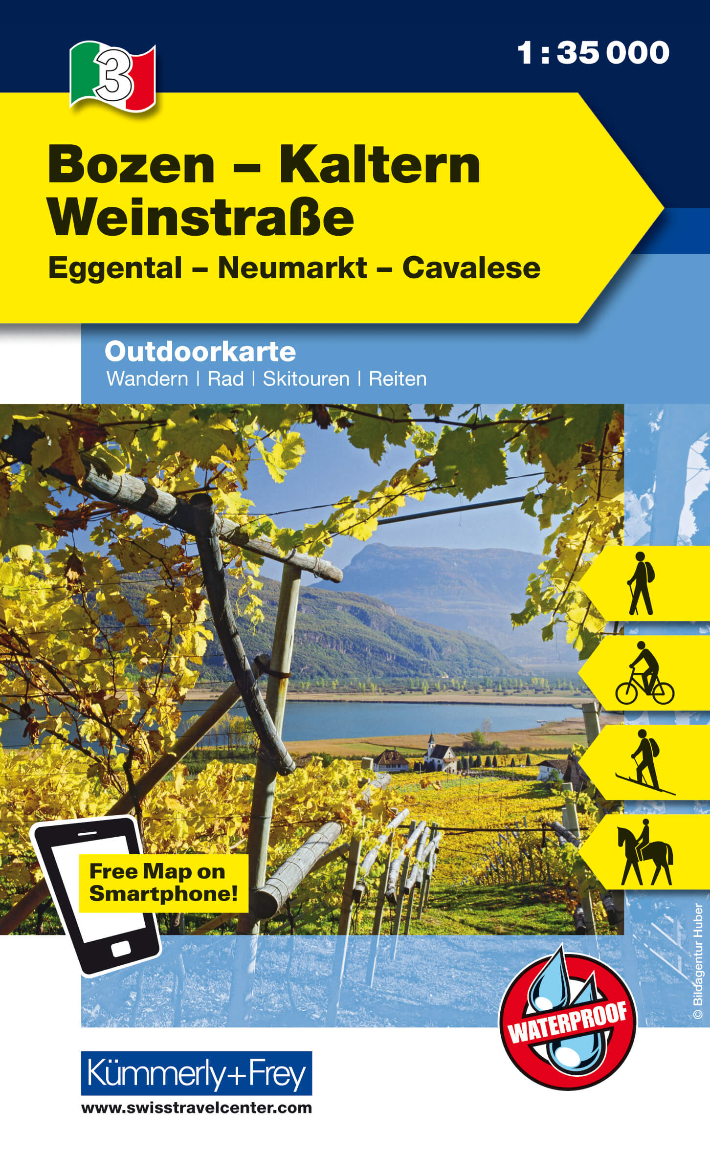
- Wandelkaart - Fietskaart 03 Outdoorkarte IT Bozen - Kaltern - Weinstrasse | Kümmerly & Frey
- Eggental, Neumarkt, Cavalese. Wanderwege, Radwanderwege, Nordic Walking, Skilanglauf, Skitouren Kümmerly und Frey Italien Outdoorkarte. 1. Auflage, Laufzeit bis 2016. Read more
De Zwerver
Netherlands
Netherlands
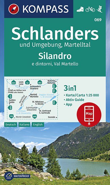
- Wandelkaart 069 Schlanders und Umgebung - Silandro e dintorni | Kompass
- Die 3in1 Wanderkarte ist jetzt noch übersichtlicher und besser lesbar. Der Aktiv Guide informiert Sie rund um das Thema Outdoor und die kostenlose App für unterwegs gibt es auch noch dazu. Das bildet die perfekte Grundlage für die Planung einer Wandertour. Die präzise Kartografie zeigt alle begehbaren Wanderwege inklusive Klassifizierung.... Read more
- Also available from:
- Stanfords, United Kingdom

Stanfords
United Kingdom
United Kingdom
- Silandro / Schlanders and Surroundings - Val Martello / Martelltal Kompass 069
- Silandro/Schandlers and the Surrounding Area at 1:25,000 on a durable, waterproof and tear-resistant map from Kompass in their series of detailed maps of the Dolomites.CARTOGRAPHY: Kompass maps of the Dolomites at 1:25,000 have contours at 25-m intervals. An overprint shows local and long-distance footpaths, including all the high level routes... Read more

Stanfords
United Kingdom
United Kingdom
- Monti di Fundres / Pfunderer Berge Kompass 081
- Monti di Fundres / Pfunderer Berge area at 1:25,000 on a durable, waterproof and tear-resistant map from Kompass in their series of detailed maps of the Dolomites.CARTOGRAPHY: Kompass maps of the Dolomites at 1:25,000 have contours at 25-m intervals. An overprint shows local and long-distance footpaths, including all the high level routes (Alte... Read more

Stanfords
United Kingdom
United Kingdom
- Pale di San Martino - Primiero San Martino di Castrozza - Paneveggio - Valle del Vanoi Kompass 622
- Pale di S.Martino - Fiera di Primiero - Panaveggio - Valle del Vanoi area at 1:25,000 on a durable, waterproof and tear-resistant map from Kompass in their series of detailed maps of the Dolomites.CARTOGRAPHY: Kompass maps of the Dolomites at 1:25,000 have contours at 25-m intervals. An overprint shows local and long-distance footpaths,... Read more

Stanfords
United Kingdom
United Kingdom
- Bolzano and Environs Kompass 54
- Map No. 54, Bolzano and Environs, from Kompass, printed on waterproof and tear-resistant synthetic paper in a series of walking maps of selected areas of Italy at 1:50,000, with hiking routes on a topographic base, various types of accommodation, recreational facilities, places of interest, etc. Kompass are Europe’s largest publishers of... Read more

Stanfords
United Kingdom
United Kingdom
- Cortina d`Ampezzo Kompass 55
- Map No. 55, Cortina d`Ampezzo - with a panorama map on the reverse, from Kompass, printed on sturdy, waterproof and tear-resistant synthetic paper in their series of walking maps of selected areas of Italy at 1:50,000, with hiking routes on a topographic base, various types of accommodation, recreational facilities, places of interest, etc.... Read more

Stanfords
United Kingdom
United Kingdom
- Dolomiti di Braies - Pragser Dolomiten Kompass 145
- Map No. 145, Dolomiti di Braies - Pragser Dolomiten at 1:25,000 printed on sturdy waterproof and tear-resistant plastic paper. The map is part of Kompass series providing detailed coverage of the Dolomites and Lake Garda area and supplementing their main series of walking maps of Italy at 1:50,000. Maps in this series have a more detailed base... Read more
Karten

The Book Depository
United Kingdom
United Kingdom
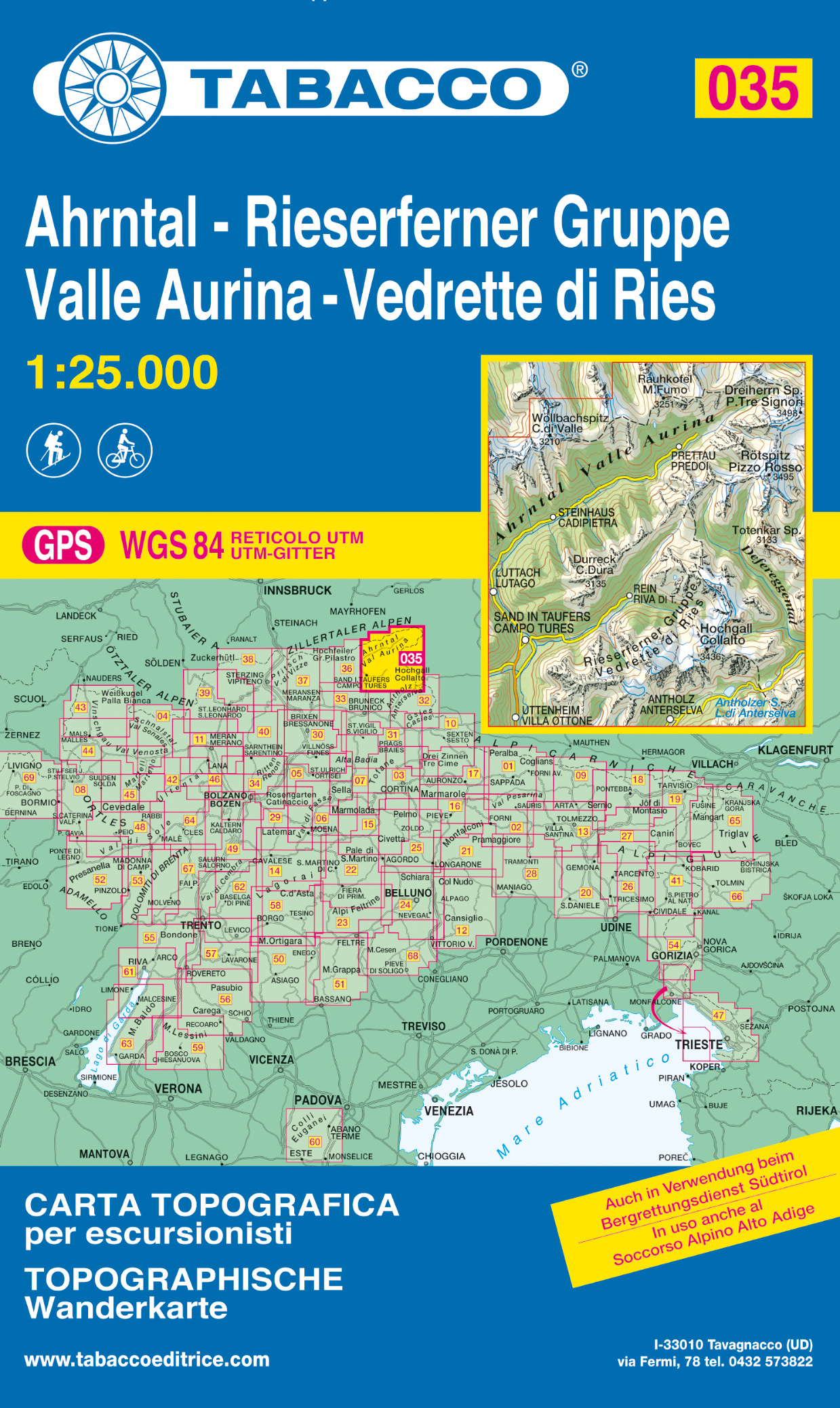
- Vallee Aurina, Vedrette di Ries
- Val Aurina/Ahrntal - Vedrette di Ries/Reiserferner Gruppe area in a series of Tabacco maps at 1:25,000 covering the Dolomites and the mountains of north-eastern Italy - Stanfords Read more
- Also available from:
- De Zwerver, Netherlands
- Stanfords, United Kingdom
De Zwerver
Netherlands
Netherlands
- Wandelkaart 035 Ahrntal - Rieserferner Gruppe - Valle Aurina - Vedrette di Ries | Tabacco Editrice
- Val Aurina/Ahrntal - Vedrette di Ries/Reiserferner Gruppe area in a series of Tabacco maps at 1:25,000 covering the Dolomites and the mountains of north-eastern Italy - Stanfords Read more

Stanfords
United Kingdom
United Kingdom
- Val Aurina / Ahrntal - Vedrette di Ries / Reiserferner Gruppe Tabacco 035
- Val Aurina/Ahrntal - Vedrette di Ries/Reiserferner Gruppe area in a series of Tabacco maps at 1:25,000 covering the Dolomites and the mountains of north-eastern Italy - Stanfords’ most popular coverage for this region, with excellent cartography and extensive overprint for hiking routes and other recreational activities, local bus stops, etc.... Read more

The Book Depository
United Kingdom
United Kingdom
- Alpi Feltrine, Le Vette 2019
- De beste wandelkaarten voor de Dolomieten. Zeer veel topografische details met secure hoogtelijnen (25 meter interval), helder kleurgebruik en bijna alle Tabacco kaarten hebben een UTM grid (voor GPS toepasbaar). Daarnaast zijn op deze wandelkaarten wandelroutes ingetekend met nummering gelijk aan markering onderweg aangebracht door de lokale... Read more
- Also available from:
- Stanfords, United Kingdom

Stanfords
United Kingdom
United Kingdom
- Alpi Feltrine - La Vètte - Cimònega Tabacco 023
- Alpi Feltrine - La Vètte - Cimònega area in a series of Tabacco maps at 1:25,000 covering the Dolomites and the mountains of north-eastern Italy - Stanfords’ most popular coverage for this region, with excellent cartography and extensive overprint for hiking routes and other recreational activities, local bus stops, etc. Additional overprint in... Read more

The Book Depository
United Kingdom
United Kingdom
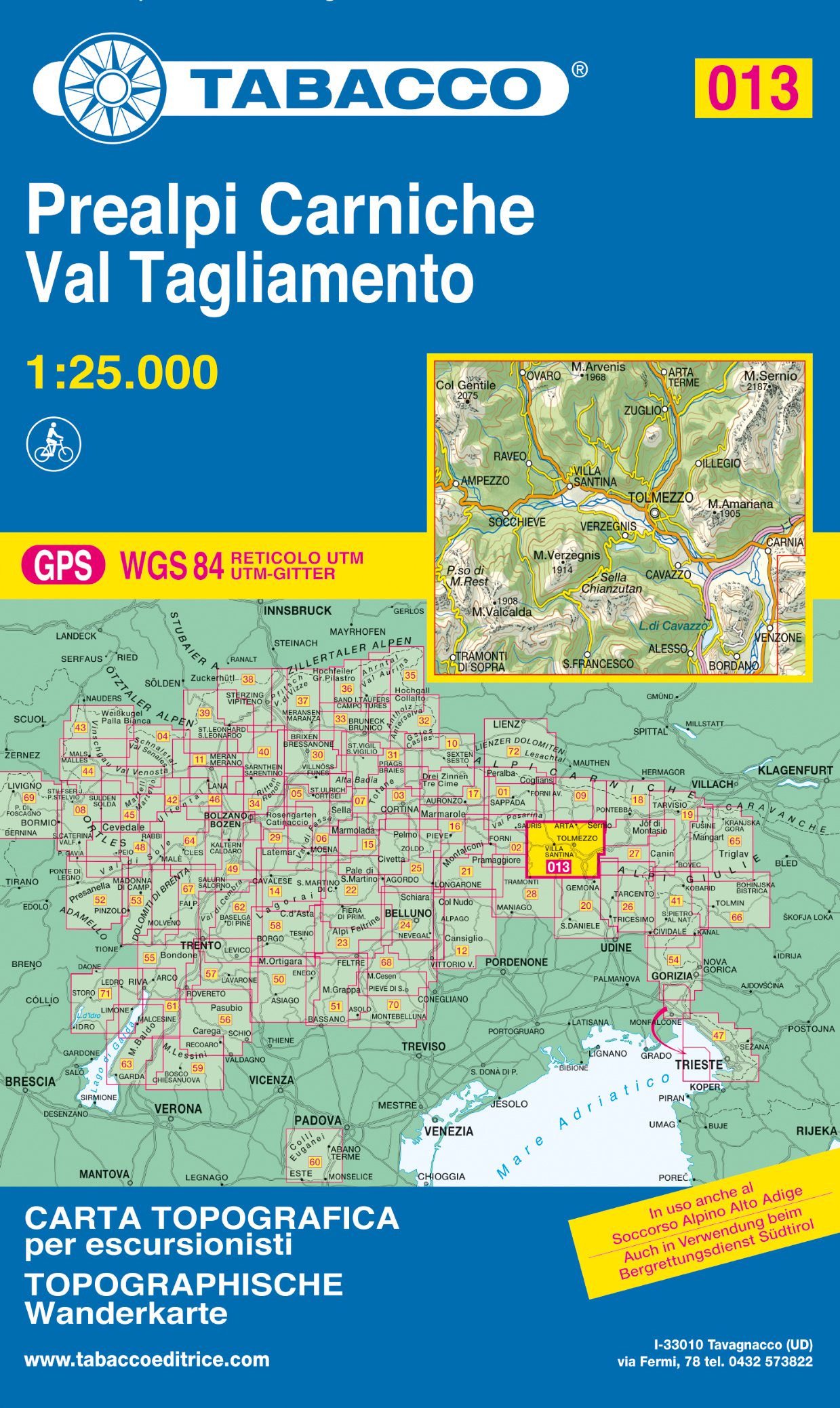
- Prealpi Carniche / Val Tagliame
- Prealpi Carniche - Val Tagliamento area in a series of Tabacco maps at 1:25,000 covering the Dolomites and the mountains of north-eastern Italy - Stanfords’ most popular coverage for this region, with excellent cartography and extensive overprint for hiking routes and other recreational activities, local bus stops, etc. Additional overprint in... Read more
- Also available from:
- De Zwerver, Netherlands
- Stanfords, United Kingdom
De Zwerver
Netherlands
Netherlands
- Wandelkaart 013 Prealpi Carniche - Val Tagliamento | Tabacco Editrice
- Prealpi Carniche - Val Tagliamento area in a series of Tabacco maps at 1:25,000 covering the Dolomites and the mountains of north-eastern Italy - Stanfords’ most popular coverage for this region, with excellent cartography and extensive overprint for hiking routes and other recreational activities, local bus stops, etc. Additional overprint in... Read more

Stanfords
United Kingdom
United Kingdom
- Prealpi Carniche - Val Tagliamento Tabacco 013
- Prealpi Carniche - Val Tagliamento area in a series of Tabacco maps at 1:25,000 covering the Dolomites and the mountains of north-eastern Italy - Stanfords’ most popular coverage for this region, with excellent cartography and extensive overprint for hiking routes and other recreational activities, local bus stops, etc. Additional overprint in... Read more

The Book Depository
United Kingdom
United Kingdom
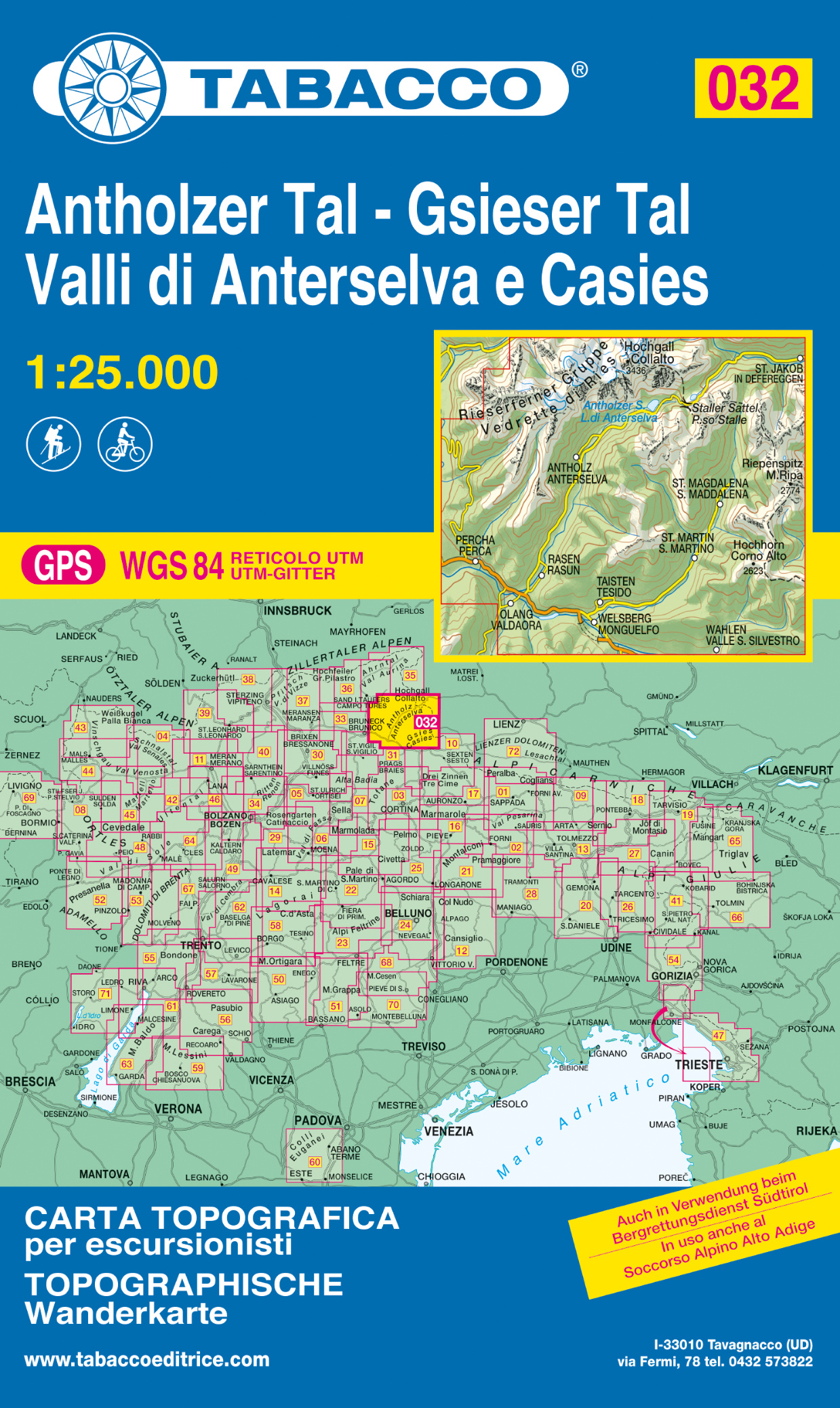
- Vallee di Anterselva / Casies
- Dolomiti di Braies/Pragser Dolomiten - Marebbe/Ennberg area in a series of Tabacco maps at 1:25,000 covering the Dolomites and the mountains of north-eastern Italy - Stanfords Read more
- Also available from:
- De Zwerver, Netherlands
- Stanfords, United Kingdom
De Zwerver
Netherlands
Netherlands
- Wandelkaart 032 Antholzer Tal - Gsieser Tal - Valli di Anterselva e Casies | Tabacco Editrice
- Dolomiti di Braies/Pragser Dolomiten - Marebbe/Ennberg area in a series of Tabacco maps at 1:25,000 covering the Dolomites and the mountains of north-eastern Italy - Stanfords Read more

Stanfords
United Kingdom
United Kingdom
- Val Anterselva / Antholz - Val Casies / Gsieser Tal Tabacco 032
- Dolomiti di Braies/Pragser Dolomiten - Marebbe/Ennberg area in a series of Tabacco maps at 1:25,000 covering the Dolomites and the mountains of north-eastern Italy - Stanfords’ most popular coverage for this region, with excellent cartography and extensive overprint for hiking routes and other recreational activities, local bus stops, etc.... Read more

The Book Depository
United Kingdom
United Kingdom
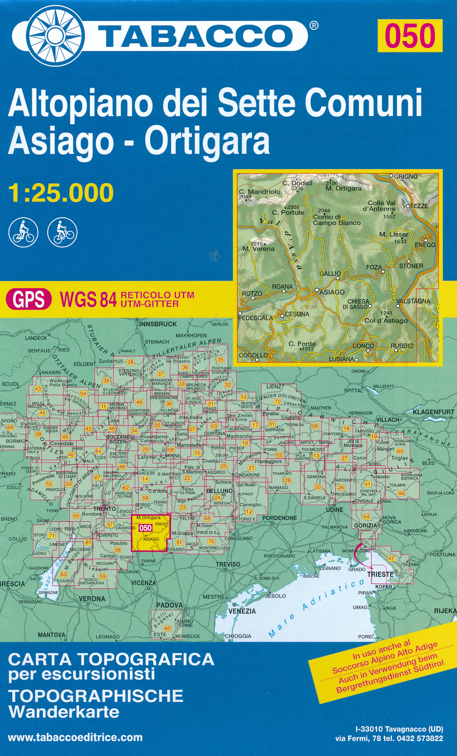
- Altopiano dei sette comuni
- Altopiano dei Sette Comuni - Asiago in a series of Tabacco maps at 1:25,000 covering the Dolomites and the mountains of north-eastern Italy - Stanfords’ most popular coverage for this region, with excellent cartography and extensive overprint for hiking routes and other recreational activities, local bus stops, etc. Additional overprint in this... Read more
- Also available from:
- De Zwerver, Netherlands
- Stanfords, United Kingdom
De Zwerver
Netherlands
Netherlands
- Wandelkaart 050 Altopiano dei Sette Comuni - Asiago - Ortigara | Tabacco Editrice
- Altopiano dei Sette Comuni - Asiago in a series of Tabacco maps at 1:25,000 covering the Dolomites and the mountains of north-eastern Italy - Stanfords’ most popular coverage for this region, with excellent cartography and extensive overprint for hiking routes and other recreational activities, local bus stops, etc. Additional overprint in this... Read more

Stanfords
United Kingdom
United Kingdom
- Altopiano dei Sette Comuni - Asiago - Ortigara Tabacco 050
- Altopiano dei Sette Comuni - Asiago in a series of Tabacco maps at 1:25,000 covering the Dolomites and the mountains of north-eastern Italy - Stanfords’ most popular coverage for this region, with excellent cartography and extensive overprint for hiking routes and other recreational activities, local bus stops, etc. Additional overprint in this... Read more

The Book Depository
United Kingdom
United Kingdom
- Marmolada, Pelmo, Civetta, Moi 2016
- De beste wandelkaarten voor de Dolomieten. Zeer veel topografische details met secure hoogtelijnen (25 meter interval), helder kleurgebruik en bijna alle Tabacco kaarten hebben een UTM grid (voor GPS toepasbaar). Daarnaast zijn op deze wandelkaarten wandelroutes ingetekend met nummering gelijk aan markering onderweg aangebracht door de lokale... Read more
- Also available from:
- Stanfords, United Kingdom

Stanfords
United Kingdom
United Kingdom
- Marmolada - Pelmo - Civetta - Maiozza Tabacco 015
- Marmolada - Pelmo - Civetta – Maiozza area in a series of Tabacco maps at 1:25,000 covering the Dolomites and the mountains of north-eastern Italy - Stanfords’ most popular coverage for this region, with excellent cartography and extensive overprint for hiking routes and other recreational activities, local bus stops, etc. Additional overprint... Read more

- Also available from:
- De Zwerver, Netherlands
De Zwerver
Netherlands
2022
Netherlands
2022

The Book Depository
United Kingdom
United Kingdom
- Prealpi e Dolomiti Bellunesi 2018
- Prealpi e Dolomiti Bellunesi area in a series of Tabacco maps at 1:25,000 covering the Dolomites and the mountains of north-eastern Italy - Stanfords Read more
- Also available from:
- Stanfords, United Kingdom

Stanfords
United Kingdom
United Kingdom
- Prealpi e Dolomiti Bellunesi Tabacco 024
- Prealpi e Dolomiti Bellunesi area in a series of Tabacco maps at 1:25,000 covering the Dolomites and the mountains of north-eastern Italy - Stanfords’ most popular coverage for this region, with excellent cartography and extensive overprint for hiking routes and other recreational activities, local bus stops, etc. To see the list of titles in... Read more
The Book Depository
United Kingdom
2021
United Kingdom
2021
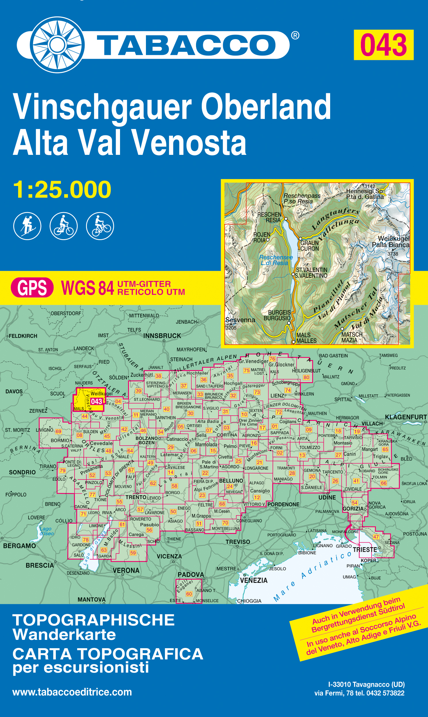
- Alta Val Venosta/Vinschgauer Oberland
- Alta Val Venosta/Vinschgauer Oberland area in a series of Tabacco maps at 1:25,000 covering the Dolomites and the mountains of north-eastern Italy - Stanfords’ most popular coverage for this region, with excellent cartography and extensive overprint for hiking routes and other recreational activities, local bus stops, etc. Additional overprint... Read more
- Also available from:
- De Zwerver, Netherlands
- Stanfords, United Kingdom
De Zwerver
Netherlands
2021
Netherlands
2021
- Wandelkaart 043 Vinschgauer Oberland - Alta Val Venosta | Tabacco Editrice
- Alta Val Venosta/Vinschgauer Oberland area in a series of Tabacco maps at 1:25,000 covering the Dolomites and the mountains of north-eastern Italy - Stanfords’ most popular coverage for this region, with excellent cartography and extensive overprint for hiking routes and other recreational activities, local bus stops, etc. Additional overprint... Read more
Stanfords
United Kingdom
2021
United Kingdom
2021
- Alta Val Venosta / Vinschgauer Oberland Tabacco 043
- Alta Val Venosta/Vinschgauer Oberland area in a series of Tabacco maps at 1:25,000 covering the Dolomites and the mountains of north-eastern Italy - Stanfords’ most popular coverage for this region, with excellent cartography and extensive overprint for hiking routes and other recreational activities, local bus stops, etc. Additional overprint... Read more

The Book Depository
United Kingdom
United Kingdom
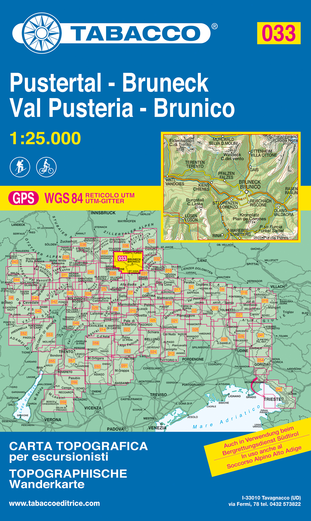
- Val Pusteria, Brunico 2017
- Val Pusteria/Pustertal - Brunico/Bruneck area in a series of Tabacco maps at 1:25,000 covering the Dolomites and the mountains of north-eastern Italy - Stanfords Read more
- Also available from:
- De Zwerver, Netherlands
- Stanfords, United Kingdom
De Zwerver
Netherlands
Netherlands
- Wandelkaart 033 Pustertal - Bruneck - Val Pusteria - Brunico | Tabacco Editrice
- Val Pusteria/Pustertal - Brunico/Bruneck area in a series of Tabacco maps at 1:25,000 covering the Dolomites and the mountains of north-eastern Italy - Stanfords Read more

Stanfords
United Kingdom
United Kingdom
- Val Pusteria / Pustertal - Brunico / Bruneck Tabacco 033
- Val Pusteria/Pustertal - Brunico/Bruneck area in a series of Tabacco maps at 1:25,000 covering the Dolomites and the mountains of north-eastern Italy - Stanfords’ most popular coverage for this region, with excellent cartography and extensive overprint for hiking routes and other recreational activities, local bus stops, etc. Additional... Read more

The Book Depository
United Kingdom
United Kingdom
- Alta Val Venosta
- Alta Val Venosta/Vinschgauer Oberland area in a series of Tabacco maps at 1:25,000 covering the Dolomites and the mountains of north-eastern Italy - Stanfords Read more

The Book Depository
United Kingdom
United Kingdom
- Dolomiti del Centro Cadore
- Dolomiti del Centro Cadore area in a series of Tabacco maps at 1:25,000 covering the Dolomites and the mountains of north-eastern Italy - Stanfords Read more
- Also available from:
- Stanfords, United Kingdom

Stanfords
United Kingdom
United Kingdom
- Dolomiti del Centro Cadore Tabacco 016
- Dolomiti del Centro Cadore area in a series of Tabacco maps at 1:25,000 covering the Dolomites and the mountains of north-eastern Italy - Stanfords’ most popular coverage for this region, with excellent cartography and extensive overprint for hiking routes and other recreational activities, local bus stops, etc. Additional overprint in this... Read more

The Book Depository
United Kingdom
United Kingdom
- Dolomiti di Auronzo e del Come
- Dolomiti di Auronzo e del Comelico area in a series of Tabacco maps at 1:25,000 covering the Dolomites and the mountains of north-eastern Italy - Stanfords Read more
- Also available from:
- Stanfords, United Kingdom

Stanfords
United Kingdom
United Kingdom
- Dolomiti di Auronzo e del Comelico Tabacco 017
- Dolomiti di Auronzo e del Comelico area in a series of Tabacco maps at 1:25,000 covering the Dolomites and the mountains of north-eastern Italy - Stanfords’ most popular coverage for this region, with excellent cartography and extensive overprint for hiking routes and other recreational activities, local bus stops, etc. Additional overprint in... Read more

The Book Depository
United Kingdom
United Kingdom
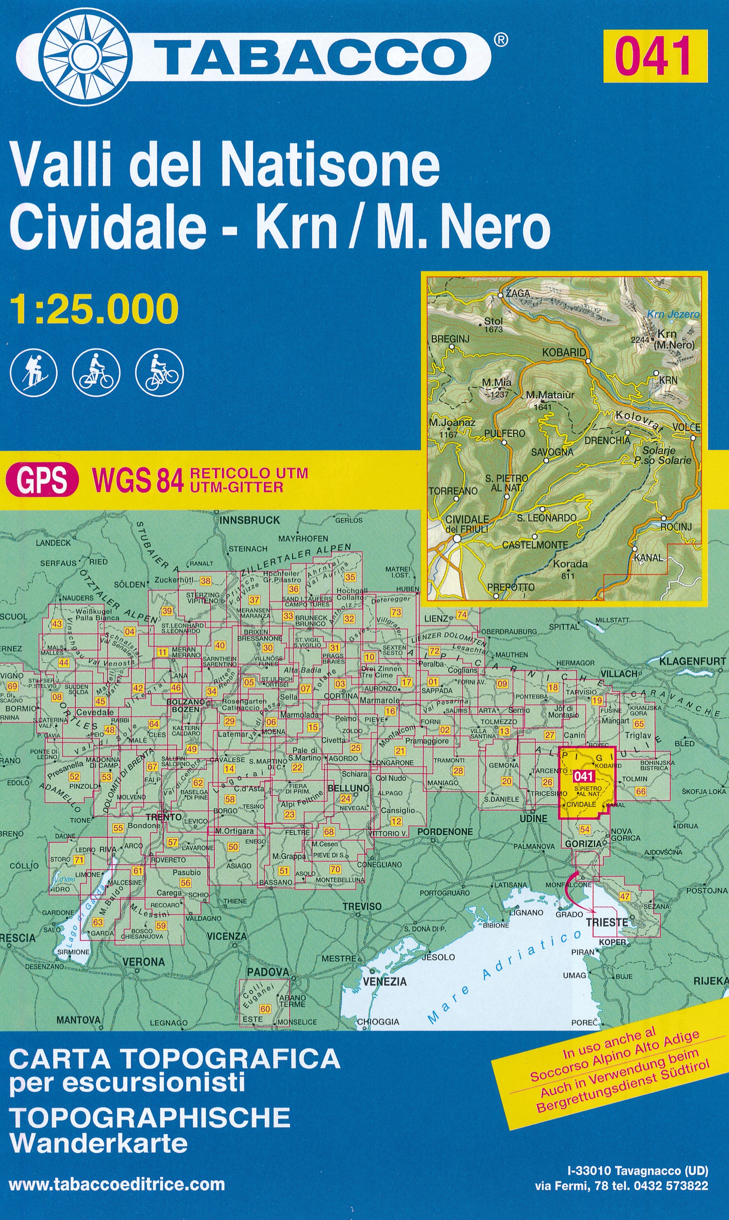
- Valli del Natisone / Cividale del Friuli / Krn/Monte Nero
- Valli del Natisone - Cividale del Friuli area in a series of Tabacco maps at 1:25,000 covering the Dolomites and the mountains of north-eastern Italy - Stanfords’ most popular coverage for this region, with excellent cartography and extensive overprint for hiking routes and other recreational activities, local bus stops, etc. Additional... Read more
- Also available from:
- De Zwerver, Netherlands
- Stanfords, United Kingdom
De Zwerver
Netherlands
Netherlands
- Wandelkaart 041 Valli del Natisone - Cividale - Krn/M. Nero | Tabacco Editrice
- Valli del Natisone - Cividale del Friuli area in a series of Tabacco maps at 1:25,000 covering the Dolomites and the mountains of north-eastern Italy - Stanfords’ most popular coverage for this region, with excellent cartography and extensive overprint for hiking routes and other recreational activities, local bus stops, etc. Additional... Read more

Stanfords
United Kingdom
United Kingdom
- Valli del Natisone - Cividale del Friuli Tabacco 041
- Valli del Natisone - Cividale del Friuli area in a series of Tabacco maps at 1:25,000 covering the Dolomites and the mountains of north-eastern Italy - Stanfords’ most popular coverage for this region, with excellent cartography and extensive overprint for hiking routes and other recreational activities, local bus stops, etc. Additional... Read more

The Book Depository
United Kingdom
United Kingdom
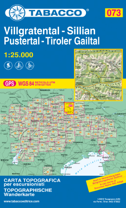
- Villgratental / Sillian / Pustertal / Tiroler Gailtal
- This Tabacco topographic map at 1:25,000 (1cm = 250m) covers Villgratental, Sillian, Pustertal, Tiroler Gailtal. It is perfect for hiking, cycling or mountain biking. The series of more than 70 maps covers the Italian Alps of the North-East including the Dolomites. Read more
- Also available from:
- De Zwerver, Netherlands
- Stanfords, United Kingdom
De Zwerver
Netherlands
Netherlands
- Wandelkaart 073 Villgratental, Sillian, Pustertal, Tiroler Gailtal | Tabacco Editrice
- This Tabacco topographic map at 1:25,000 (1cm = 250m) covers Villgratental, Sillian, Pustertal, Tiroler Gailtal. It is perfect for hiking, cycling or mountain biking. The series of more than 70 maps covers the Italian Alps of the North-East including the Dolomites. Read more

Stanfords
United Kingdom
United Kingdom
- Villgratental - Sillian - Pustertal - Tiroler Gailtal Tabacco 073
- This Tabacco topographic map at 1:25,000 (1cm = 250m) covers Villgratental, Sillian, Pustertal, Tiroler Gailtal. It is perfect for hiking, cycling or mountain biking. The series of more than 70 maps covers the Italian Alps of the North-East including the Dolomites. Read more