
GR132 La Gomera
Beschreibung
- Name GR132 La Gomera (GR132)
- Länge von Wanderweg 120 km, 75 Meilen
- Länge in Tagen 6 Tage
- Anfang von Wanderweg San Sebastián de la Gomera
- Ende von Wanderweg San Sebastián de la Gomera
- Traildino Schwierigkeit MW, Mittelschwere Wanderung mit Rucksack
- Schwierigkeitsgrad Berg- und Alpinwanderung T1, Wandern
 The island of Gomera is a popular hiking destination. Nature is different from the other islands. The centre of the island is densely forested and hilly. This laurel rain forest is protected and declared a Unesco World Heritage Site.
The coastal ring is dry and eroded. This trail, the GR132, is exploring this coastal ring. The earth is split at many places by deep eroded ravines, called barrancos, which make the hiking more strenuous. In some of these ravines, the forest thrives. When possible, the islanders cultivate the soil by creating terraced fields. The GR touches the rain forest in the northern part of the island.
The GR132 is an interesting and diverse walk. The trail is marked. One passes villages where accommodation is available. Maps and guidebooks are available.
Check the complete list of Canary Islands.
Links
Fakten
Berichte
Führer und Karten
Übernachtung
Organisationen
Reisebüros
GPS
Sonstiges
Bücher

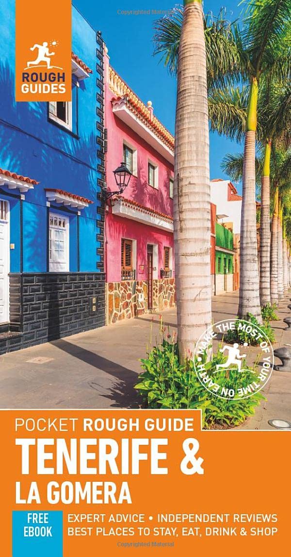
United Kingdom
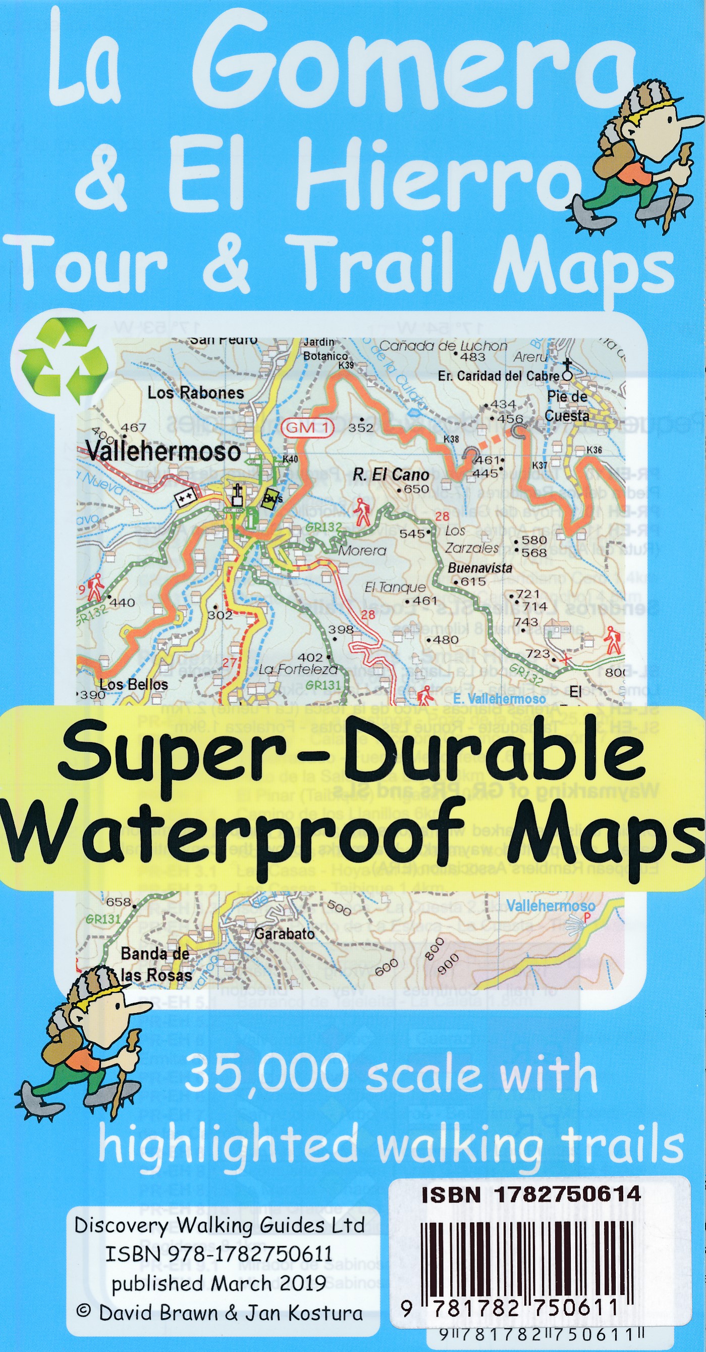
- La Gomera walking guide 66 walks 2017
- The Finest Valley and Mountain Walks - ROTH.E4823 Read more


- Also available from:
- De Zwerver, Netherlands

- Also available from:
- De Zwerver, Netherlands

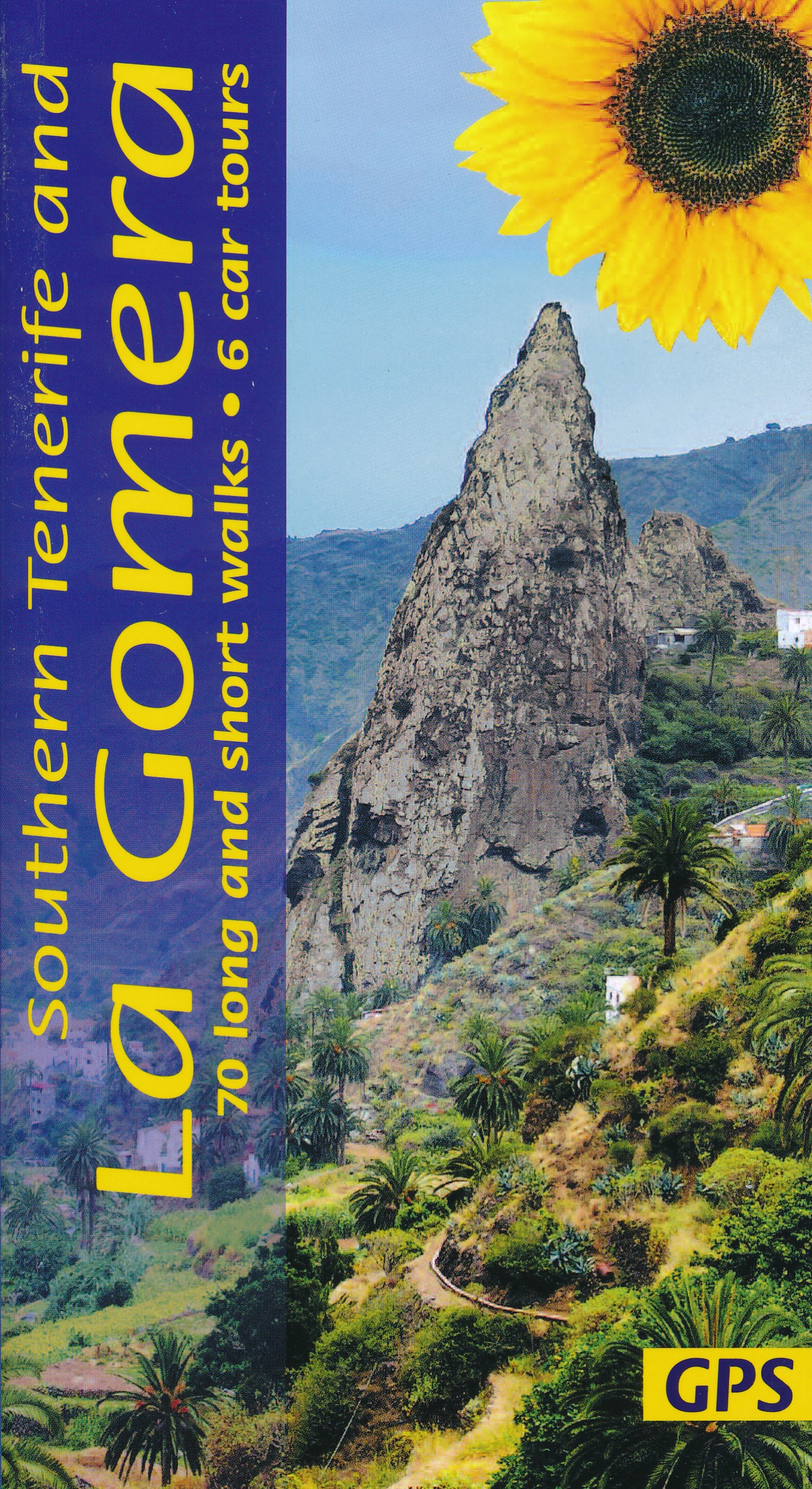
United Kingdom
2018
- La Gomera and Southern Tenerife Sunflower Guide
- 70 long and short walks with detailed maps and GPS; 6 car tours with pull-out map Read more
- Also available from:
- Stanfords, United Kingdom

United Kingdom
2018
- La Gomera & Southern Tenerife Sunflower Landscape Guide
- This book is for those staying on La Gomera or in the south of Tenerife (within easy reach of the Gomera ferry). Since the two islands are just a 35-minute ferry ride apart, the book covers walks and tours on both. There are car tours (with picnic suggestions) ranging all over both islands, with pull-out touring maps and plans for the larger... Read more

United Kingdom
2019
- Trekking in the Canary Islands
- The GR131 island-hopping route Read more
- Also available from:
- De Zwerver, Netherlands
- Stanfords, United Kingdom

Netherlands
2019
- Wandelgids Trekking in the Canary Islands: The GR131 Island Hopping Route | Cicerone
- Guidebook to the GR131, an island-hopping trail that runs coast to coast across each of the 7 Canary Islands, a sub-tropical Spanish archipelago. Described over 32 stages, the route begins on Lanzarote, finishes on El Hierro, measures 560km (348 miles) and would take an average trekker about 1 month to complete. Read more

United Kingdom
2019
- Trekking in the Canary Islands: The GR131 island-hopping route
- This guidebook provides a comprehensive and detailed description of the GR131, an island-hopping trail across the seven Canary Islands. The 560km (348 mile) route begins on Lanzarote and finishes on El Hierro and is presented in 32 daily stages. The route is well waymarked but some navigational skills are required, and the remote and occasional... Read more

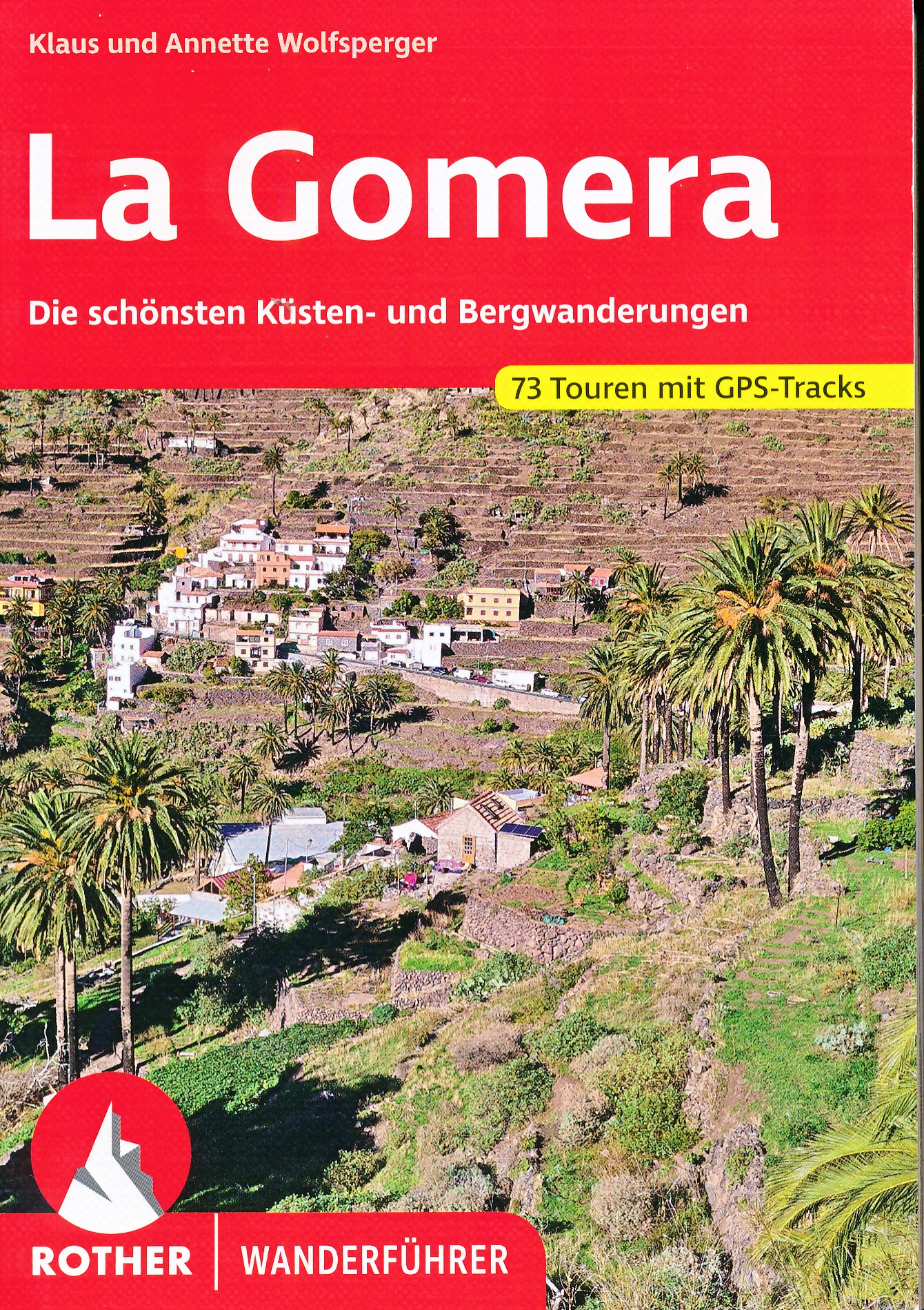
United Kingdom
2020
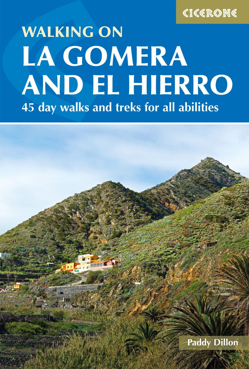
- Walking on La Gomera and El Hierro
- 45 day walks and treks for all abilities Read more
- Also available from:
- De Zwerver, Netherlands
- Stanfords, United Kingdom

United Kingdom
2020
- Walking on La Gomera and El Hierro: 45 day walks and treks for all abilities
- Walking guide to the islands of La Gomera and El Hierro. The 45 waymarked routes in this guidebook include easy strolls and hands-on scrambles, day walks and long-distance routes including the GR132 and parts of the GR131, which runs the whole length of the Canary Islands. Walks are spread in the guide roughly clockwise and where walks are... Read more

United Kingdom
2022
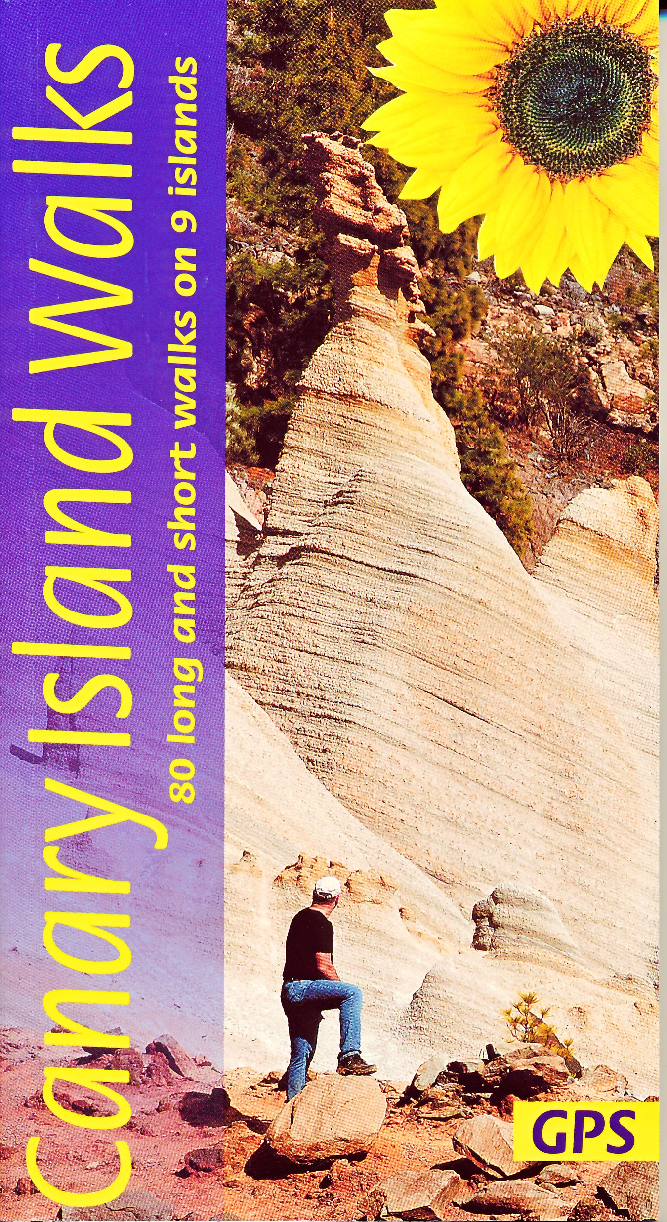
- Canary Islands Walks Sunflower Guide
- 80 long and short walks on the Canary Islands Read more
- Also available from:
- De Zwerver, Netherlands
- Stanfords, United Kingdom
Netherlands
2022
- Wandelgids Canary Islands Walks | Sunflower books
- The go-to travel guide for discovering the best walks on the Canary Islands; Strap on your boots and discover the Canary Islands on foot with the Sunflower Canary Islands Walks travel guide. The Sunflower Canary Islands Walks guide is indispensable for walking and hiking on all 7 Canary Islands - Tenerife, Gran Canaria, Lanzarote,... Read more

United Kingdom
2022
- Canary Islands Walks Sunflower Guide: 90 long and short walks on the Canary Islands
- The go-to travel guide for discovering the best walks on the Canary Islands; Strap on your boots and discover the Canary Islands on foot with the Sunflower Canary Islands Walks travel guide. The Sunflower Canary Islands Walks guide is indispensable for walking and hiking on all 7 Canary Islands - Tenerife, Gran Canaria, Lanzarote,... Read more
Netherlands
2022

Netherlands
2023
Netherlands
2024
Netherlands
2018
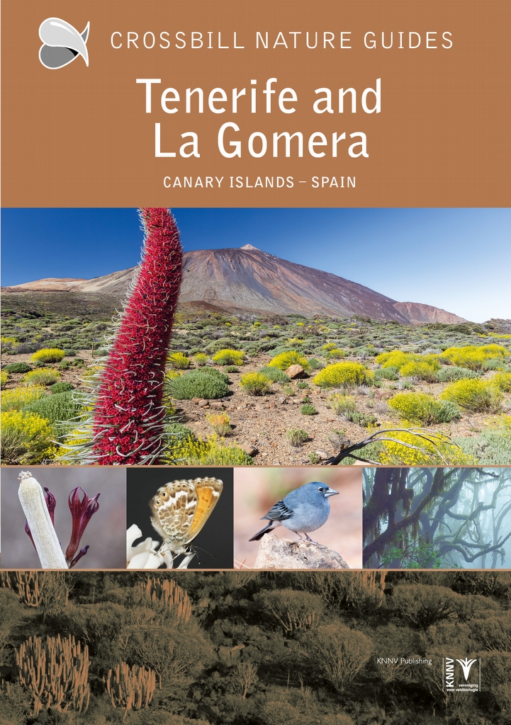
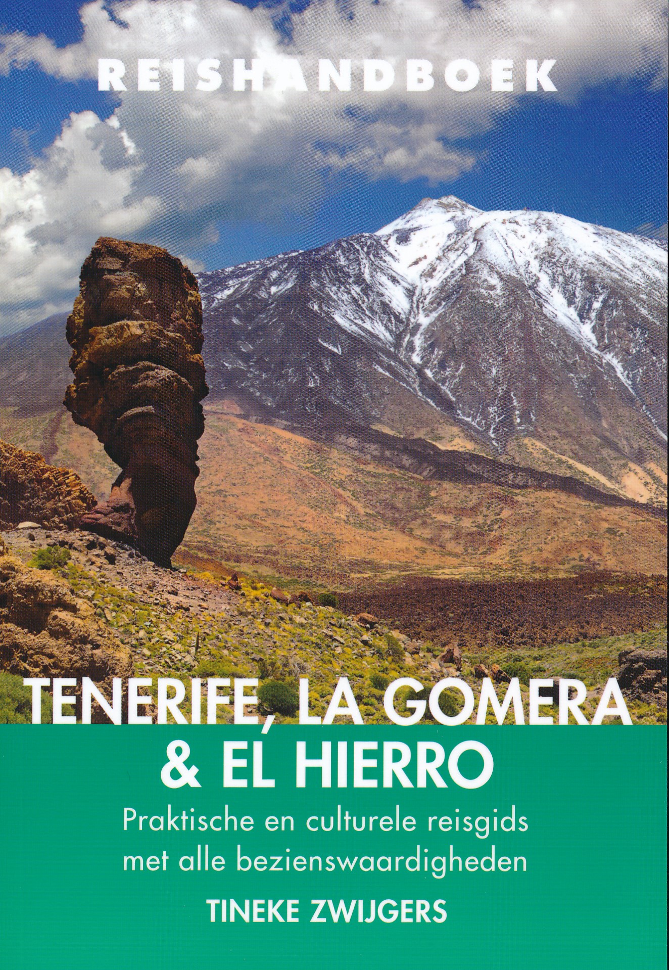
- Reisgids Reishandboek Tenerife, La Gomera, El Hierro | Uitgeverij Elmar
- Praktische en culturele reisgids met alle bezienswaardigheden * Veel achtergrondinformatie * Praktische informatie: onder andere accommodatie, vervoer, gezondheid, geldzaken etc. * Alle bezienswaardigheden * Kaarten en plattegronden in kleur Ruige bergen en mistige oerbossen. Kleurrijke koloniale steden. Natuurlijk gevormde zeebaden. En de geur... Read more
Karten
Netherlands
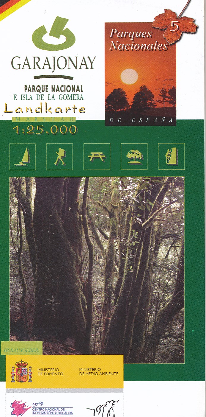
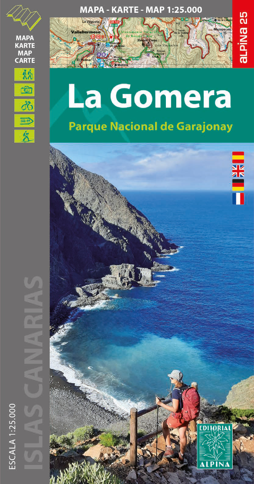
- Wandelkaart 5 Parques Nacionales Garajonay Parque Nacional e isla de la Gomera | CNIG - Instituto Geográfico Nacional
- Gedetailleerde wandelkaart 1:25.000. Met ingetekende wandelroutes, hutten en andere overnachtingsmogelijkheden, restaurants en bezienswaardigheden. Met begeleidend boekje met beschrijvingen van 13 wandelingen in het Duits Read more
Netherlands
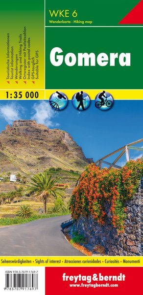
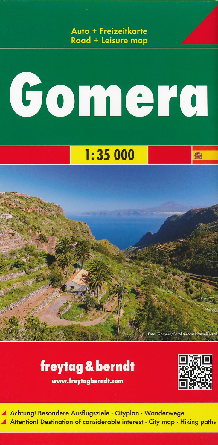
- Wandelkaart - Wegenkaart - landkaart La Gomera | Freytag & Berndt
- Zeer gedetailleerde wegen-wandelkaart van La Gomera. Schaal 1; 35.000. Stadsplattegrond van San Sebastian opgenomen in de kaart. Naast bezienswaardigheden en nationale parken staan er ook wandelroutes op deze kaart afgebeeld. Overigens vinden wij dat de Freytag & Berndt kaarten van de Spaanse en Portugese eilanden iets meer gericht zjin op... Read more

United Kingdom
- Vallehermoso 25K La Gomera CNIG Topographic Survey Map No. 1095-III
- Topographic coverage of the Canary Islands at 1:25,000 published by the Instituto Geográfico Nacional – Centro Nacional de Información Geografica, the country’s civilian survey organization. The maps have contours at 10m intervals and colouring and/or graphics to show different types of vegetation or land use. Boundaries of national parks and... Read more
United Kingdom
- Hermigua 25K La Gomera CNIG Topographic Survey Map No. 1095-IV
- Topographic coverage of the Canary Islands at 1:25,000 published by the Instituto Geográfico Nacional – Centro Nacional de Información Geografica, the country’s civilian survey organization. The maps have contours at 10m intervals and colouring and/or graphics to show different types of vegetation or land use. Boundaries of national parks and... Read more
United Kingdom
- Valle Gran Rey 25K La Gomera CNIG Topographic Survey Map No. 1101-I
- Topographic coverage of the Canary Islands at 1:25,000 published by the Instituto Geográfico Nacional – Centro Nacional de Información Geografica, the country’s civilian survey organization. The maps have contours at 10m intervals and colouring and/or graphics to show different types of vegetation or land use. Boundaries of national parks and... Read more

United Kingdom
- Gomera CNIG Topo 1095-1101
- La Gomera, map No. 1095/1101 in the topographic coverage of the Canary Islands at 1:50,000 from the Instituto Geográfico Nacional - Centro Nacional de Información Geograficá, Spain’s civilian survey organization. Maps in the MTN50 (Mapa Topográfico Nacional) series begun in late 1990s have contours at 20m intervals enhanced by relief shading,... Read more
United Kingdom
- San Sebastian de la Gomera 25K CNIG Topographic Survey Map No. 1101-II
- Topographic coverage of the Canary Islands at 1:25,000 published by the Instituto Geográfico Nacional – Centro Nacional de Información Geografica, the country’s civilian survey organization. The maps have contours at 10m intervals and colouring and/or graphics to show different types of vegetation or land use. Boundaries of national parks and... Read more
United Kingdom
- Agulo 25K La Gomera CNIG Topographic Survey Map No. 1095-I/II
- Topographic coverage of the Canary Islands at 1:25,000 published by the Instituto Geográfico Nacional – Centro Nacional de Información Geografica, the country’s civilian survey organization. The maps have contours at 10m intervals and colouring and/or graphics to show different types of vegetation or land use. Boundaries of national parks and... Read more
Netherlands
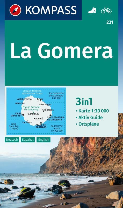
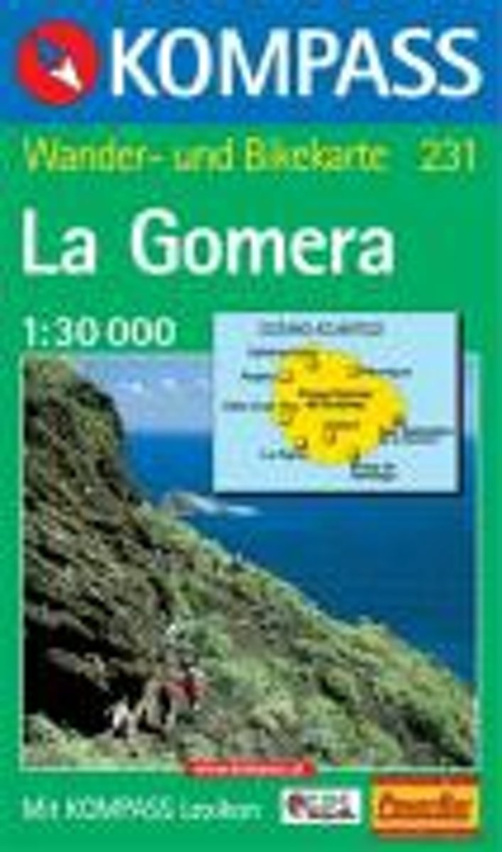
- Gomera WK231
- Toeristische kaart voor wandelen, fietsen en vrije tijd met activiteitengids en stadsplattegronden • goed leesbare schaal van 1:30 000 • te gebruiken met GPS • met praktische informatie over de regio • wandel- en fietspaden • aanbevolen routes • kastelen • uitzichtpunten • stranden en baaien • toeristische informatie • veel topografische... Read more
- Also available from:
- Bol.com, Belgium
Belgium
- Gomera WK231
- Toeristische kaart voor wandelen, fietsen en vrije tijd met activiteitengids en stadsplattegronden • goed leesbare schaal van 1:30 000 • te gebruiken met GPS • met praktische informatie over de regio • wandel- en fietspaden • aanbevolen routes • kastelen • uitzichtpunten • stranden en baaien • toeristische informatie • veel topografische... Read more

Netherlands
- Kanaren/DVD-ROM
- Deze digitale wandel-, fiets- en skiroute kaarten van Kompass op CD of DVD zijn bruikbaar met GPS • je kunt inzoomen op de kaart tot een schaal van 1: 10 000 • prima manier om je eigen route te plannen, met hoogteprofielen • zeer eenvoudig om de gekozen route te printen of te downloaden op mobiele telefoon of PDA • vlieg vogelvlucht over een... Read more
- Also available from:
- Bol.com, Belgium
Belgium
- Kanaren/DVD-ROM
- Deze digitale wandel-, fiets- en skiroute kaarten van Kompass op CD of DVD zijn bruikbaar met GPS • je kunt inzoomen op de kaart tot een schaal van 1: 10 000 • prima manier om je eigen route te plannen, met hoogteprofielen • zeer eenvoudig om de gekozen route te printen of te downloaden op mobiele telefoon of PDA • vlieg vogelvlucht over een... Read more