
Spanien
Beschreibung

A land of marvellous nature and astounding contrasts, Spain has made remarkable progress over the past decades in developing hiking trails and facilities. All thanks to the efforts of the Federación Española de Alpinismo (Spanish Mountain Federation) and its many regional branches.
The Spanish Pyrenees are probably the best known hiking area, with the GR11 running all the way across from west to east, parallel to the French GR10. The most beautiful parts of the Pyrenees are protected, like Aigüestortes and Ordesa, and these can get very busy in summer. Another popular hiking area are the Picos de Europa, a limestone massif west of the Pyrenees. The rest of the Cantabrian mountain range, which runs al the way to the northwestern tip of Spain, is much less known. It is a relatively green area and a popular holiday destination for the Spanish themselves. Other mountain ranges, such as the Sierra Nevada, are hiking areas of old. Recent hiking tourism has resulted in the opening up of extraordinary landscapes, like the Extremadura on the border with Portugal which is well-known for its vultures and birds of prey, and of course Andalucia in the south.
Who hasn't heard of Camino de Santiago, the pilgrims' trail to Santiago de Compostela, which exerts an inexplicable attraction on hordes of people?! But there is much more and better too. Nowadays there are more than one hundred long distance trails in Spain. Like in France, these are called GR (Sendero de Gran Recorrido) and marked in red and white. Not surprisingly the "Topoguias" look the same as those of their northern neighbours.
Shorter hiking trails are marked in green and white (Sendero Local) or yellow and white (Sendero de Pequeño Recorrido).
Lastly there are several islands that deserve attention: the Balearic Islands and the Canary Islands offer fantastic hiking opportunities. Some long distance footpaths have been established here.
Karte


Wanderwege
- Camí Català per HuescaGPX
- Camí Català per LleidaGPX
- Camino a Finisterre - MuxíaGPX
- Camino AragonésGPX
- Camino de BaztanGPX
- Camino de GironaGPX
- Camino de la CostaGPX
- Camino de LevanteGPX
- Camino de Santiago de MadridGPX
- Camino de Santiago de TenerifeGPX
- Camino de Tarragona
- Camino del EbroGPX
- Camino del InviernoGPX
- Camino del NorteGPX
- Camino del SalvadorGPX
- Camino del Sur
- Camino FrancésGPX
- Camino InglésGPX
- Camino MozárabeGPX
- Camino Natural de la Cordillera Cantábrica
- Camino PortuguésGPX
- Camino PrimitivoGPX
- Camino SanabrésGPX
- Camino Vasco del InteriorGPX
- Carros de FocGPX
- E10GPX
- E12GPX
- E3GPX
- E4GPX
- E7GPX
- GR1 Sendero Histórico, Senda TransversalGPX
- GR10 Senderos de la MielGPX
- GR100 Ruta de la PlataGPX
- GR101 Camino Real de la MesaGPX
- GR102 Camino Real de Sellón
- GR105 Ruta de las PeregrinacionesGPX
- GR106 Ruta de San MelchorGPX
- GR107 - El Camí dels Bons HomesGPX
- GR108 Travesía AndariegaGPX
- GR11 Sendero PirenaicoGPX
- GR12 Sendero de Euskal HerriaGPX
- GR120 Ruta de los Tres TemplosGPX
- GR121 Vuelta a GipuzcoaGPX
- GR123 Vuelta a BizkaiaGPX
- GR124 Senda RealGPX
- GR125 La Senda del PoetaGPX
- GR127 Río SeguraGPX
- GR13 Cañada Real de los RoncalesesGPX
- GR130 Camino Real de la CostaGPX
- GR131 Camino de la VirgenGPX
- GR131 Camino Natural Anaga-ChasnaGPX
- GR131 Camino Natural Cumbres de La GomeraGPX
- GR131 Camino Natural de FuerteventuraGPX
- GR131 El BastónGPX
- GR132 La GomeraGPX
- GR14 Sendero del DueroGPX
- GR140 Puerto de la Ragua - Cabo de GataGPX
- GR142 Sendero de la AlpujarraGPX
- GR143 Sendero de Almeria
- GR144 Ruta de la TrashumanciaGPX
- GR146 Ruta Monte y Olivo
- GR147 Sierra ProfundaGPX
- GR148 Tahal - Abrucena
- GR15 Sendero PrepirenaicoGPX
- GR150 Alrededor de la Sierra de CadíGPX
- GR16 Sendero del SerrabloGPX
- GR163 Ruta del Cristal de HispaniaGPX
- GR17 Sendero MarianoGPX
- GR170 L'Estany - VidràGPX
- GR171 Pinós - PaülsGPX
- GR172 Bellprat - Montserrat - La MussaraGPX
- GR173 Vallès NaturalGPX
- GR174 Sender del PrioratGPX
- GR175 Ruta del CisterGPX
- GR176 Ruta de les Vint ErmitesGPX
- GR177 Ruta del MoianésGPX
- GR178 Ruta d'en SerrallongaGPX
- GR179 Sender del MaquisGPX
- GR18 Senderos de la RibagorzaGPX
- GR186 Caminos de MedinaGPX
- GR188 Ruta Ciudad Rodrigo el Payo
- GR19 Senderos de SobrabeGPX
- GR192 Cambrils - AmpostaGPX
- GR2 La Jonquera - AiguafredaGPX
- GR20 Vuelta a Aralar, Aralarko BiraGPX
- GR200 Ruta de los Palacios
- GR201 Senda del ArcedianoGPX
- GR202 Ruta La ReconquistaGPX
- GR204 Senda CosteraGPX
- GR21 Camino Ignaciano, Ruta IgnacianaGPX
- GR210 Camí vora TerGPX
- GR211 Circular del Vall d'AranGPX
- GR220 Vuelta a la Cuenca de PamplonaGPX
- GR221 Ruta de la Pedra en SecGPX
- GR222 Ruta Artà-LlucGPX
- GR223 Camí de CavallsGPX
- GR229 Ruta MikeldiGPX
- GR23 Senderos por la LiteraGPX
- GR24 Senderos de Calatayud, Darroca y GallocantaGPX
- GR240 Sendero SulayrGPX
- GR241 Sender Circular de BorredàGPX
- GR25 Vuelta a la Llanada Alavesa a Pie de MonteGPX
- GR250 Ruta del ApóstolGPX
- GR251 Camino del AltiplanoGPX
- GR252 Camino del Bajo GuadalentínGPX
- GR253 Camino de la Cruz del Alto GuadalentínGPX
- GR26 Senda de Tierra de CamposGPX
- GR260 Vuelta al Moncayo-Calcenada
- GR27 Sendero del Valle Esgueva
- GR28 Sendero de Tierra de PinaresGPX
- GR29 Sendero del río Pisuerga
- GR3 Sendero Central de CatalunyaGPX
- GR30 Sendero de los Montes de TorozosGPX
- GR33 Sender de la Lluna PlenaGPX
- GR34 Donostia - ArantzazuGPX
- GR35 Camino de la TrashumanciaGPX
- GR36 Sierra de EspadánGPX
- GR37 La Serranía - Vías PecuariesGPX
- GR38 Ruta del Vino y del PescadoGPX
- GR39 Cañada de la MestaGPX
- GR4 Puigcerdà - MontserratGPX
- GR40 Cañada Real SorianaGPX
- GR41 Cordel de las BuervasGPX
- GR42 Cañada Real Leonesa OccidentalGPX
- GR43 Cordel de la CampiñaGPX
- GR44 Sender de SaragossaGPX
- GR45 Sendero del SomontanoGPX
- GR47 Camino de las MinasGPX
- GR48 Sierra MorenaGPX
- GR5 Sendero de los Parques Naturales, Sender dels MiradorsGPX
- GR50 Ruta do MedievoGPX
- GR52 Ruta dos RíosGPX
- GR53 Sendero Panorámico de VigoGPX
- GR56 TransourensanoGPX
- GR57 Camí da FranqueiraGPX
- GR58 Sendero As GreasGPX
- GR59 Sender Roteiro Ecolóxico do MorrazoGPX
- GR6 Barcelona - MontserratGPX
- GR60 Sender d'AnibalGPX
- GR63 Sendero Senda de ViriatoGPX
- GR64 Mira - Límite provincialGPX
- GR65 Camino de SantiagoGPX
- GR66 Sendero de Castillano-ManchegoGPX
- GR67 Alcaraz - HellínGPX
- GR68 Circular sierra de Segura
- GR69 Circular de HueteGPX
- GR7 Andorra - TarifaGPX
- GR71 Sendero de la Reserva de SajaGPX
- GR72 Ruta de los CampurrianosGPX
- GR73 Calzada de los Blendios
- GR74 Corredor Oriental de CantabriaGPX
- GR75 Senda de los Valles de CantabriaGPX
- GR8 Puertos de Beceite - JavalambreGPX
- GR82 Sierra de la DemandaGPX
- GR83 - Camí del Nord o del CanigóGPX
- GR84 Canal del DueroGPX
- GR85 Ruta de los SentidosGPX
- GR86 Sendero Ibérico SorianoGPX
- GR88 Sendero SegovianoGPX
- GR89 Canales de CastillaGPX
- GR9 Navarra y EuskadiGPX
- GR90 Tierras del MontcayoGPX
- GR92 Sender MediterraneoGPX
- GR93 Sierras de la RiojaGPX
- GR94 Sendero Rural de GaliciaGPX
- GR95 Calzada Romana de Zaragoza a FranciaGPX
- GR96 Cami Romeu a MontserratGPX
- GR97 Sendero de la Tordera al LlobregatGPX
- GR98 Vuelta a la Reserva de la Biosfera de Urdaibai
- GR99 Sendero del EbroGPX
- HRP - Haute Randonnée PyrénéenneGPX
- Ruta de la LanaGPX
- Ruta desde Almería
- Ruta desde Málaga
- Ruta por Toledo
- Santiago de Compostela Pilgrims WayGPX
- Sendero Circular del Hierro
- TR1 Route of PeaceGPX
- TR3 Verdaguer Route
- TR5 Ruta Matagalls-Montserrat
- TR6 Ruta del Meridia Verd
- Vía de la PlataGPX
- Via Augusta de Cádiz a Sevilla
- Via Portugués de la Via de la Plata
Regionen
- Aigües Tortes
- Andalucía
- Aragón
- Asturias
- Cantabria
- Castilla y León
- Castilla-La Mancha
- Catalunya
- Cordillera Cantabrica
- Costa Blanca
- Costa Brava
- Costa Daurada
- Costa del Azahar
- Costa del Sol
- Eivissa, Baleares
- El Hierro, Canarias
- Euskadi
- Extremadura
- Formentera, Baleares
- Fuerteventura, Canarias
- Galicia
- Gran Canaria, Canarias
- Islas Baleares
- Islas Canarias
- La Gomera, Canarias
- La Graciosa, Canarias
- La Palma, Canarias
- La Rioja
- Lanzarote, Canarias
- Madrid
- Majorca, Baleares
- Menorca, Baleares
- Murcia
- Navarra
- Picos de Europa
- Pyrenees
- Sierra de Grazalema
- Sierra de Gredos
- Sierra de Guadarrama
- Sierra Nevada
- Tenerife, Canarias
- Valencia
Landesteile
Berge
Links
Fakten
Berichte
Führer und Karten
Übernachtung
Organisationen
Reisebüros
GPS
Sonstiges
Bücher

United Kingdom
2017
- Also available from:
- De Zwerver, Netherlands


United Kingdom
2022
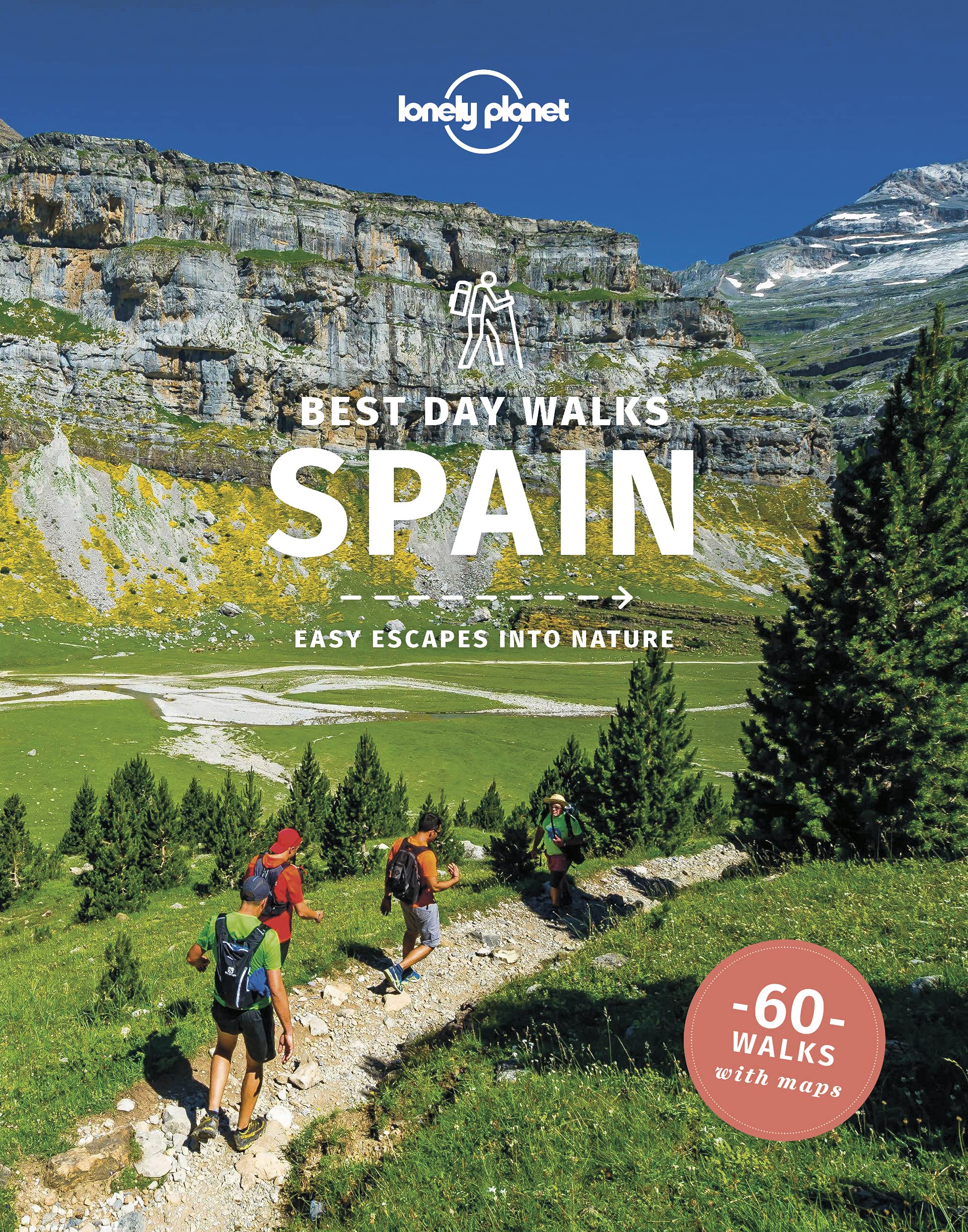
- Lonely Planet Best Day Walks Spain
- Lonely Planet`s Best Day Walks Spain is your passport to 60 easy escapes into nature. Stretch your legs away from the city by picking a walk that works for you, from just a couple of hours to a full day, from easy to hard. Marvel at the Pyrenees, hike along the Mediterranean coast, and experience island walks in Mallorca. Inside Lonely... Read more
- Also available from:
- De Zwerver, Netherlands
Netherlands
2022
- Wandelgids Best Day Walks Spain - Spanje | Lonely Planet
- Lonely Planet`s Best Day Walks Spain is your passport to 60 easy escapes into nature. Stretch your legs away from the city by picking a walk that works for you, from just a couple of hours to a full day, from easy to hard. Marvel at the Pyrenees, hike along the Mediterranean coast, and experience island walks in Mallorca. Inside Lonely... Read more

United Kingdom
- Monte Perdido Macizo de / Valle de Ordesa / Pineta
- Ordesa and Monte Perdido National Park at 1:25,000 in a set of two GPS compatible recreational maps in an extensive and very popular series from Editorial Alpina, providing more detailed coverage of this popular hiking area.Contours are at 10m intervals, with relief shading and vegetation colouring. An overprint highlights waymarked PR hiking... Read more
- Also available from:
- Stanfords, United Kingdom

United Kingdom
- Macizo de Monte Perdido - Valle de Ordesa - Pineta Editorial Alpina
- Ordesa and Monte Perdido National Park at 1:25,000 in a set of two GPS compatible recreational maps in an extensive and very popular series from Editorial Alpina, providing more detailed coverage of this popular hiking area.Contours are at 10m intervals, with relief shading and vegetation colouring. An overprint highlights waymarked PR hiking... Read more


United Kingdom
2021
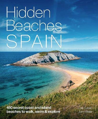
- Hidden Beaches Spain
- 450 secret coast and island beaches to walk, swim & explore Read more
- Also available from:
- De Zwerver, Netherlands
Netherlands
2021
- Reisgids Hidden Beaches Spain | Wild Things Publishing
- 450 secret coast and island beaches to walk, swim & explore Read more

United Kingdom
2015
- Spain's Sendero Historico: The GR1
- Northern Spain - Picos to the Mediterranean Read more
- Also available from:
- De Zwerver, Netherlands

Netherlands
2015
- Wandelgids Spain's Sendero Historico: the GR1 | Cicerone
- Guidebook to the 1250km of Spain's Sendero Historico (GR1), traversing northern Spain from Puerto de Tarna in the province of Leon in the west to the Mediterranean near L'Escala in Catalonia, through fascinating, varied landscapes and the foothills of the Pyrenees. Described in 53 stages, about 25km each in length, with detailed mapping. Read more

United Kingdom
2017
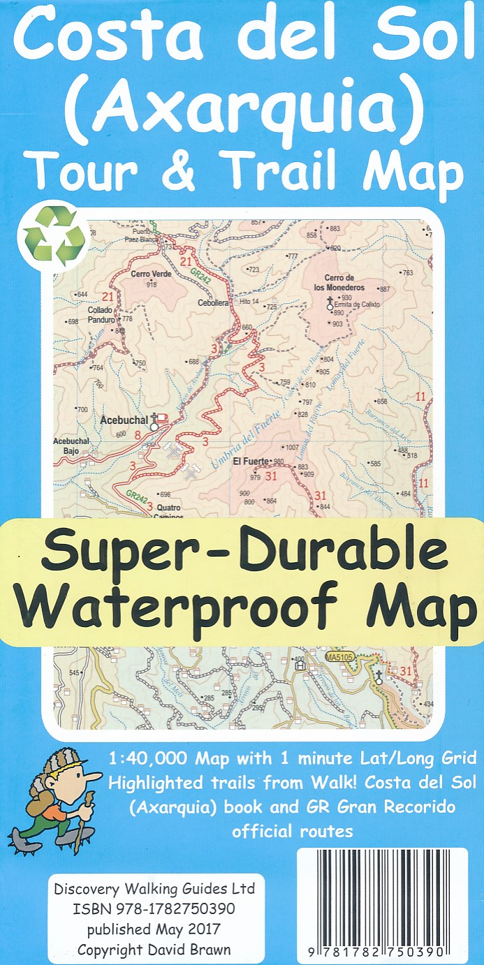
- Costa del Sol (Axarquia) Tour and Trail Map
- Costa del Sol (Axarquia) Tour & Trail Super-Durable Map comes with a 2 year adventurous use wear and tear guarantee against splitting or falling apart, see Discovery Walking Guides website for details. Our large 1:40,000 scale, combined with splitting the region into West and East sections with a generous overlap, produces double sided map... Read more
- Also available from:
- De Zwerver, Netherlands
Netherlands
2017
- Wandelkaart Tour & Trail Costa de Sol - Axarquia | Discovery Walking Guides
- Costa del Sol (Axarquia) Tour & Trail Super-Durable Map comes with a 2 year adventurous use wear and tear guarantee against splitting or falling apart, see Discovery Walking Guides website for details. Our large 1:40,000 scale, combined with splitting the region into West and East sections with a generous overlap, produces double sided map... Read more

United Kingdom
2014
- The Mountains of Nerja
- Sierras Tejeda, Almijara Y Alhama Read more
- Also available from:
- Stanfords, United Kingdom

United Kingdom
2014
- The Mountains of Nerja: Sierras de Tejeda, Almijara Y Alhama
- Guide to walking in the compact but action-packed mountain ranges just north of the seaside town of Nerja on the Costa del Sol, in southern Spain, less than an hour`s drive from Malaga airport. The ranges that make up the Sierras Tejeda, Almijara and Alhama National Park contain 50 summits of Munros status, as well as lots of wilderness areas... Read more
Netherlands
2019
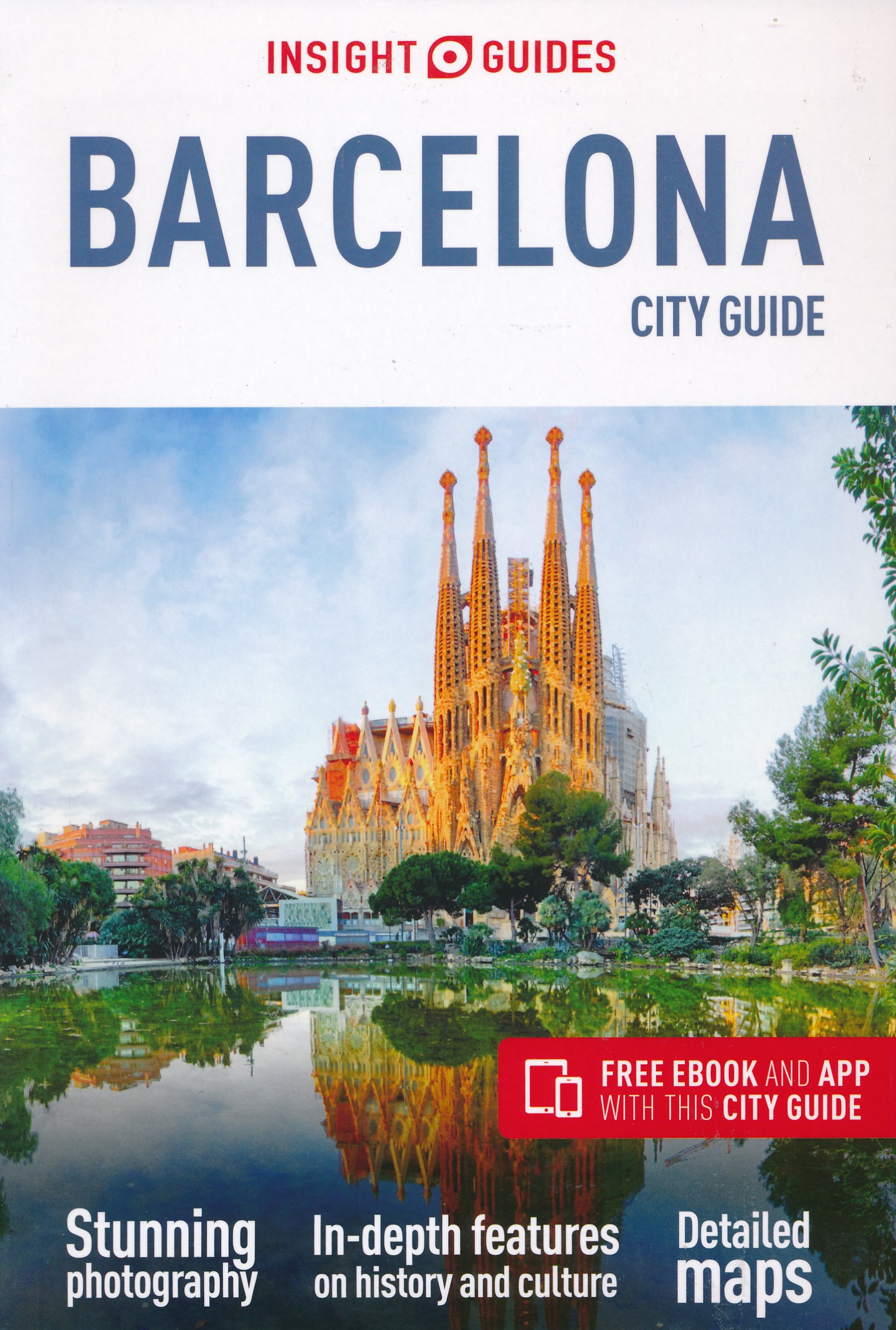
- Reisgids Barcelona | Insight Guides
- Goede, volledige stadsgids voor Barcelona met veel foto's en alle informatie over de vele bezienswaardigheden. Insight City Guide Barcelona is your comprehensive guide book to one of the world’s most-visited cities. Full-color photos throughout combine with the authoritative text to help you explore this high-spirited city in Catalonia,... Read more
Netherlands
2017
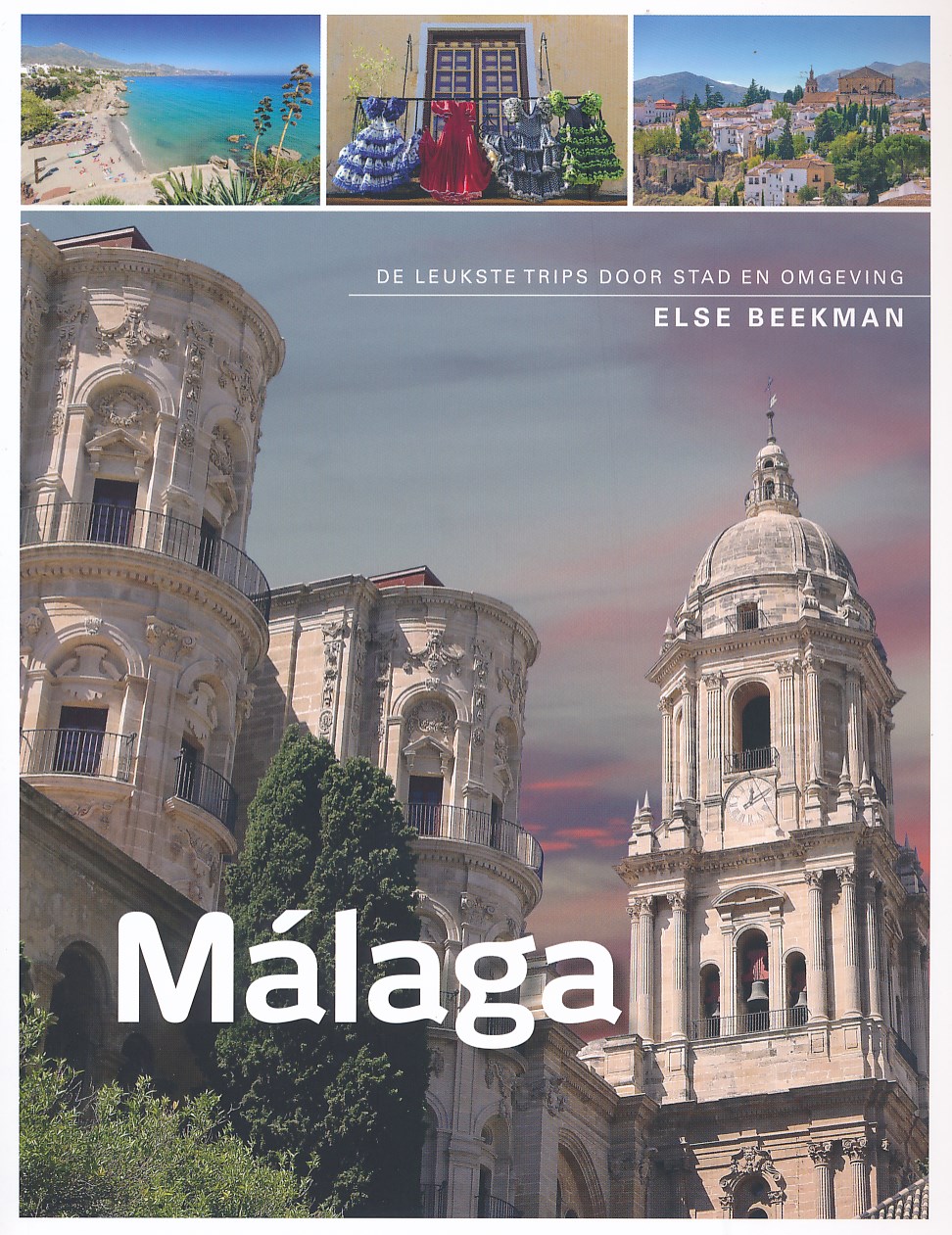
- Reisgids Malaga | Edicola
- Málaga is allang niet meer alleen de vliegbestemming voor strandvertier aan de Costa del Sol. De Zuid-Spaanse stad wordt steeds geliefder. En terecht! De perfecte mix van cultuur, gastronomie, klimaat en ligging aan de Middellandse Zee biedt uiteenlopende mogelijkheden voor een erg veelzijdige stedentrip. En dat alles op loop- of fietsafstand!... Read more
Netherlands

Karten

United Kingdom
- Garraf - La Morella - Eramprunya - Parc Natural del Garraf
- Zeer gedetailleerde wandelkaart van dit mooie natuurgebied in Noord Oost Spanje. Met ingetekende wandelroutes en andere informatie. Spaans en deel in het engels, maar uitstekende kaart. Met symbolen voor campings, hutten. Read more
- Also available from:
- De Zwerver, Netherlands
- Stanfords, United Kingdom

Netherlands
- Wandelkaart 62 Parc Naturel del Garraf | Editorial Alpina
- Zeer gedetailleerde wandelkaart van dit mooie natuurgebied in Noord Oost Spanje. Met ingetekende wandelroutes en andere informatie. Spaans en deel in het engels, maar uitstekende kaart. Met symbolen voor campings, hutten. Read more

United Kingdom
- Garraf - la Morella - Eramprunya Editorial Alpina
- Massíf de Garraf in an extensive and very popular series of walking maps from Editorial Alpina covering the Pyrenees, Catalonia and other selected hiking areas in Spain, including Picos de Europa, Sierra Nevada and parts of Andalucía, Majorca, etc. Scales vary from 1:50,000 to 1:10,000, with the majority of the titles at 1:25,000. The maps have... Read more

United Kingdom
2016
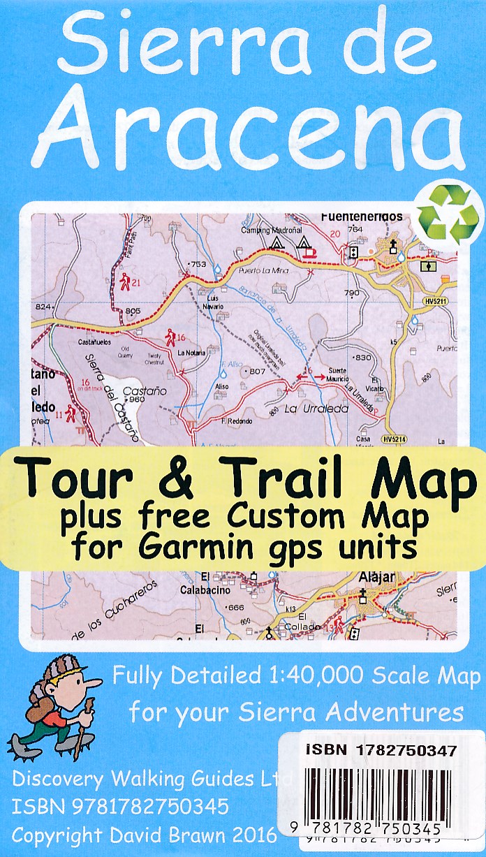
- Sierra de Aracena Tour & Trail Map
- Sierra da Aracena Tour and Trail is an double sided map at a scale of 1:40,000 which is primarily designed for walkers but will also be of use to motorists. The map highlights twenty seven walking routes of between three and fourteen kilometres.Main and minor roads, dirt tracks, footpaths, trails are very clearly marked. Petrol stations and... Read more
- Also available from:
- De Zwerver, Netherlands
- Stanfords, United Kingdom
Netherlands
2016
- Wandelkaart Tour & Trail Sierra de Aracena | Discovery Walking Guides
- Sierra da Aracena Tour and Trail is an double sided map at a scale of 1:40,000 which is primarily designed for walkers but will also be of use to motorists. The map highlights twenty seven walking routes of between three and fourteen kilometres.Main and minor roads, dirt tracks, footpaths, trails are very clearly marked. Petrol stations and... Read more

United Kingdom
2016
- Sierra de Aracena Tour & Trail Map
- Sierra da Aracena Tour and Trail is an double sided map at a scale of 1:40,000 which is primarily designed for walkers but will also be of use to motorists. The map highlights twenty seven walking routes of between three and fourteen kilometres.Main and minor roads, dirt tracks, footpaths, trails are very clearly marked. Petrol stations and... Read more

United Kingdom
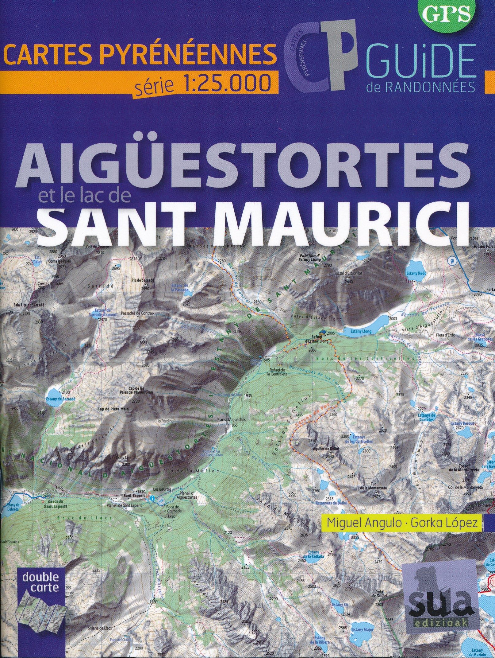
- Aiguestortes Et Le Lac De Sant Maurici - Cartes Pyreneennes (1:25000)
- Mooie bijzonder gedetailleerde wandelkaart van een klein deel van de Pyreneeen. De wandelroutes zijn ingetekend, ook zijn met symbolen veel praktische zaken weergegeven als campings, hutten maar ook opvallende aspecten in het landschap. In de (Franstalige) gids vindt u vijftien routes met betrekking tot wandelen, fietsen en klimmen in de... Read more
- Also available from:
- De Zwerver, Netherlands
Netherlands
- Wandelkaart Aiguestortes i estany de Sant Maurici | Sua edizioak
- Mooie bijzonder gedetailleerde wandelkaart van een klein deel van de Pyreneeen. De wandelroutes zijn ingetekend, ook zijn met symbolen veel praktische zaken weergegeven als campings, hutten maar ook opvallende aspecten in het landschap. In de (Franstalige) gids vindt u vijftien routes met betrekking tot wandelen, fietsen en klimmen in de... Read more
United Kingdom
2006
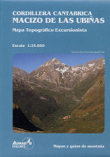
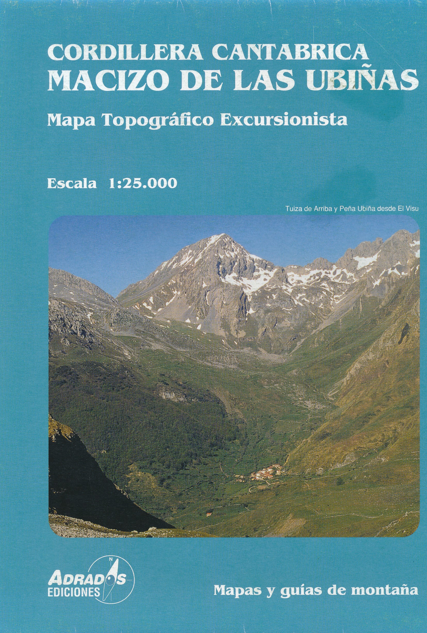
- Cordillera Canatabrica, Macito De Pena Ubina
- Topografische kaart van de Cordillera Cantabrica, Met de volgende toppen: Almagrera, Cerreros, Colines, Crestón del Pasu Malu, Fariñentu; Fontán; Huerto del Diablo, Mesa, Pachón; Ranchón; Rebollosas,etc. Read more
- Also available from:
- De Zwerver, Netherlands
Netherlands
2006
- Wandelkaart Macizo de las Ubinas | Adrados Ediciones
- Topografische kaart van de Cordillera Cantabrica, Met de volgende toppen: Almagrera, Cerreros, Colines, Crestón del Pasu Malu, Fariñentu; Fontán; Huerto del Diablo, Mesa, Pachón; Ranchón; Rebollosas,etc. Read more

United Kingdom
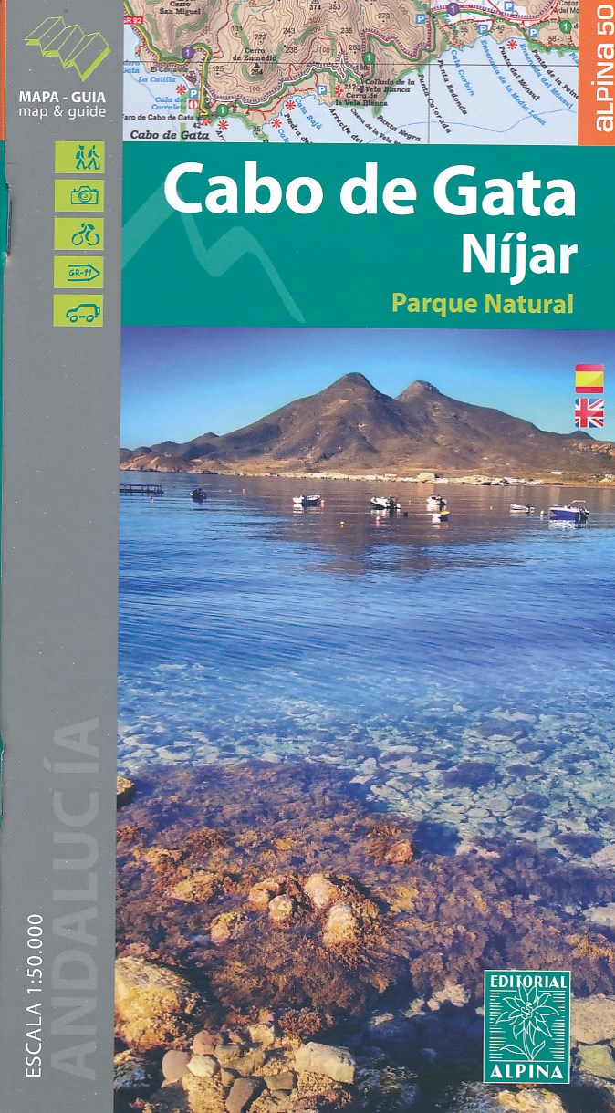
- Cabo de Gata / Nijar
- Gedetailleerde wandelkaart van een interessant wandelgebied. Uitstekend leesbaar, inhoudelijk een goede kaart met allerhande informatie op topografische basis waarbij wandelroutes, campings en hutten. Bij een aantal Alpina kaarten is een boekje bijgevoegd met routes. Door de toevoeging van gradengrid is deze kaart bruikbaar voor GPS. Cabo da... Read more
- Also available from:
- De Zwerver, Netherlands
- Stanfords, United Kingdom
Netherlands
- Wandelkaart Cabo de Gata - Nijar | Editorial Alpina
- Gedetailleerde wandelkaart van een interessant wandelgebied. Uitstekend leesbaar, inhoudelijk een goede kaart met allerhande informatie op topografische basis waarbij wandelroutes, campings en hutten. Bij een aantal Alpina kaarten is een boekje bijgevoegd met routes. Door de toevoeging van gradengrid is deze kaart bruikbaar voor GPS. Cabo da... Read more

United Kingdom
- Cabo de Gata-Níjar Natural Park Editorial Alpina
- Cabo da Gata area on the south-eastern tip of Andalucía on a contoured and GPS compatible map at 1:50,000 from Editorial Alpina highlighting hiking and cycling trails, plus a booklet with English language descriptions of recommended routes, accommodation lists, etc.Topography is shown by contours at 20m intervals, with relief shading and... Read more

United Kingdom
- Bearn - Aspe - Ossau - Pyrenees NP
- Uitstekende wandelkaart met veel toeristische informatie en bijzonder gedetailleerd. Wandelroute en hutten / campings zijn ingetekend, met hoogtelijnen. Andere dorpen op deze kaart: Etsaut - Col du Somport - Fabrèges - Col du Pourtalet - la Pierre Saint Martin - Arette - Arudy - Laruns - Arrens Marsous - Argelès Gazost (Frankrijk - Pyreneeen)... Read more
- Also available from:
- De Zwerver, Netherlands
- Stanfords, United Kingdom

Netherlands
- Wandelkaart 03 Béarn - Bearn | Rando Editions
- Uitstekende wandelkaart met veel toeristische informatie en bijzonder gedetailleerd. Wandelroute en hutten / campings zijn ingetekend, met hoogtelijnen. Andere dorpen op deze kaart: Etsaut - Col du Somport - Fabrèges - Col du Pourtalet - la Pierre Saint Martin - Arette - Arudy - Laruns - Arrens Marsous - Argelès Gazost (Frankrijk - Pyreneeen)... Read more

United Kingdom
- Béarn - Aspe - Ossau - Pyrenees National Park Rando Editions 3
- French Pyrenees of the Béarn region, from Tardets-Sorholus to the western part of the Pyrenees National Park including the Ossau and Balaïtous massifs, on a contoured and GPS compatible map at 1:50,000 from Rando Editions with topographic base provided by the IGN, highlighting local and long-distance hiking trails, cycle and mountain bike... Read more

United Kingdom
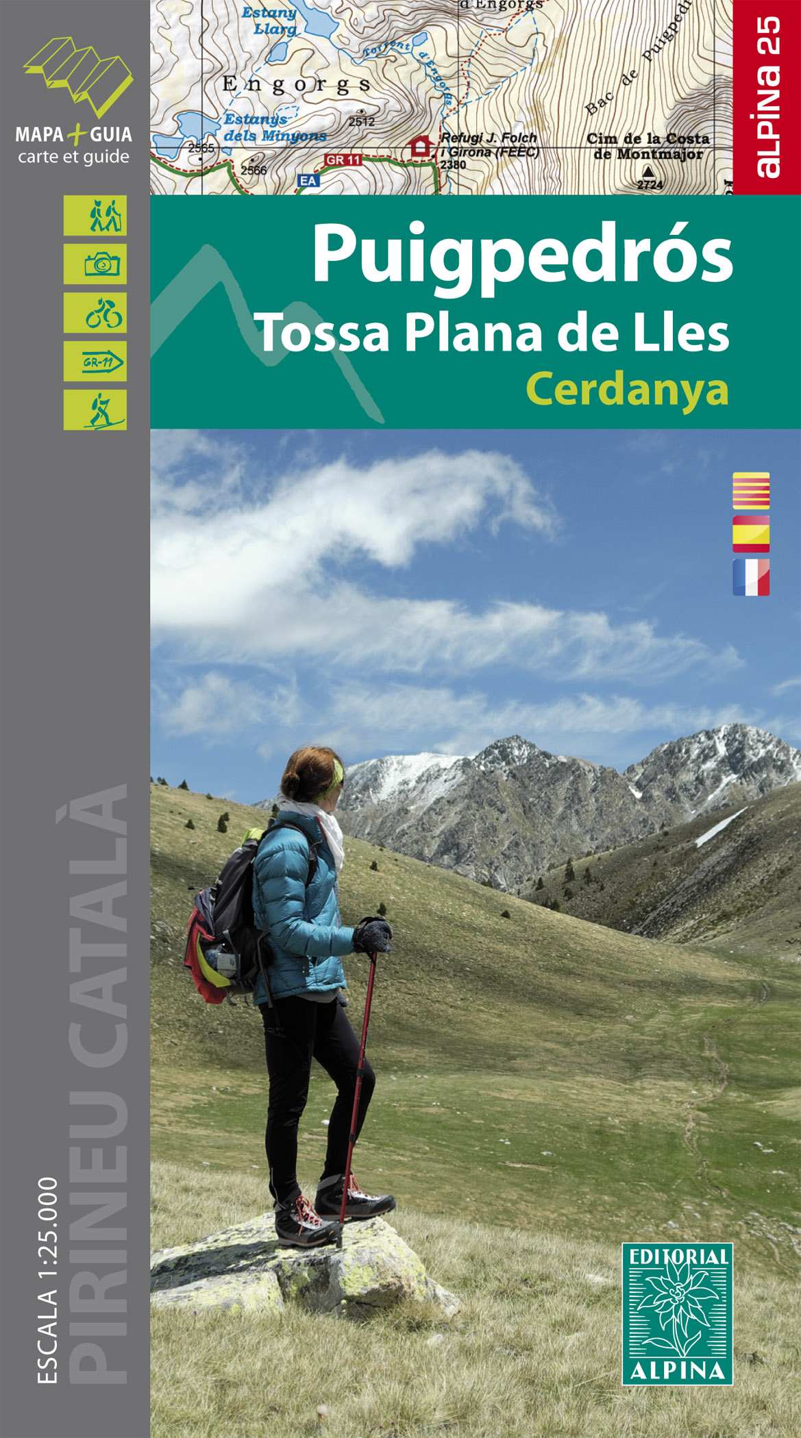
- Puigpedros - Tossa Plana de Lles - Cerdanya carte&guide
- Zeer gedetailleerde wandelkaart van een klein deel van de Spaanse Pyreneeen. Met ingetekende wandelroutes en andere informatie. Spaanstalig, maar uitstekende kaart. Met symbolen voor campings, hutten. • Mapa excursionista i guia • Escala: 1:25.000 • Equidistància: 10 m • Corbes mestres: a 50 m • Ombrejat • Usos del sòl representats a 3 nivells... Read more
- Also available from:
- De Zwerver, Netherlands
Netherlands
- Wandelkaart 29 Puigpedros | Editorial Alpina
- Zeer gedetailleerde wandelkaart van een klein deel van de Spaanse Pyreneeen. Met ingetekende wandelroutes en andere informatie. Spaanstalig, maar uitstekende kaart. Met symbolen voor campings, hutten. • Mapa excursionista i guia • Escala: 1:25.000 • Equidistància: 10 m • Corbes mestres: a 50 m • Ombrejat • Usos del sòl representats a 3 nivells... Read more

Netherlands
2017
- Wandelkaart - Pelgrimsroute (kaart) 133 Spanischer Jakobsweg | Kompass
- The main route of the Way of St James to Compostela across northern Spain presented at 1:100,000 on a durable, waterproof and tear-resistant map from Kompass, arranged as 26 separate strips, each with a route profile, plus additional street plans of central Logro Read more
- Also available from:
- Stanfords, United Kingdom

United Kingdom
2017
- The Way of St. James to Compostela: Spanish Section
- The main route of the Way of St James to Compostela across northern Spain presented at 1:100,000 on a durable, waterproof and tear-resistant map from Kompass, arranged as 26 separate strips, each with a route profile, plus additional street plans of central Logroño, Burgos, León and Santiago itself.The whole route is covered on 26 panels, each... Read more
Netherlands
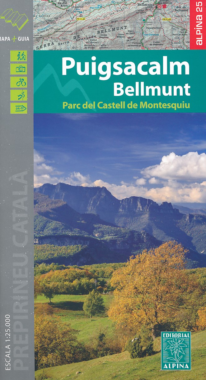
- Wandelkaart 45 Puigsacalm Bellmunt | Editorial Alpina
- Zeer gedetailleerde wandelkaart van een klein deel van de Spaanse Pyreneeen. Met ingetekende wandelroutes en andere informatie. Uitstekende kaart. Met symbolen voor campings, hutten. Op de topografische wandelkaart worden o.a. berghutten, campings aangeduid en hoogtelijnen, ingetekende wandelroutes en de GR paden (doorgaande... Read more
- Also available from:
- Stanfords, United Kingdom
United Kingdom
- Puigsacalm - Bellmunt Editorial Alpina
- Puigsacalm - Bellmunt in an extensive and very popular series of walking maps from Editorial Alpina covering the Pyrenees, Catalonia and other selected hiking areas in Spain, including Picos de Europa, Sierra Nevada and parts of Andalucía, Majorca, etc. Scales vary from 1:50,000 to 1:10,000, with the majority of the titles at 1:25,000. The maps... Read more
Netherlands
2009
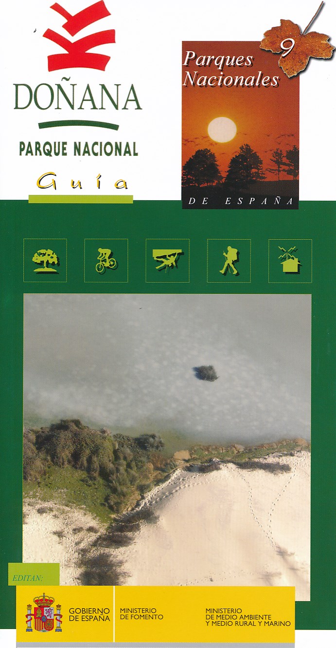
- Wandelkaart 9 Parques Nacionales Doñana | CNIG - Instituto Geográfico Nacional
- Gedetailleerde wandelkaart 1:25.000. Met ingetekende wandelroutes, hutten en andere overnachtingsmogelijkheden, restaurants en bezienswaardigheden. Met spaanstalige gids met diverse wandelingen Read more
- Also available from:
- Stanfords, United Kingdom

United Kingdom
2009
- Donana National Park CNIG Map-Guide SPANISH
- Doñana National Park on the western coast of Andalucía at 1:25,000 on a contoured and GPS compatible, double-sided map from IGN/CNIG with cartography from their topographic survey of Spain. The map is accompanied by a 57-page Spanish language guide with descriptions of walks, contact details for recommended accommodation, etc. The map has... Read more

Netherlands
2013
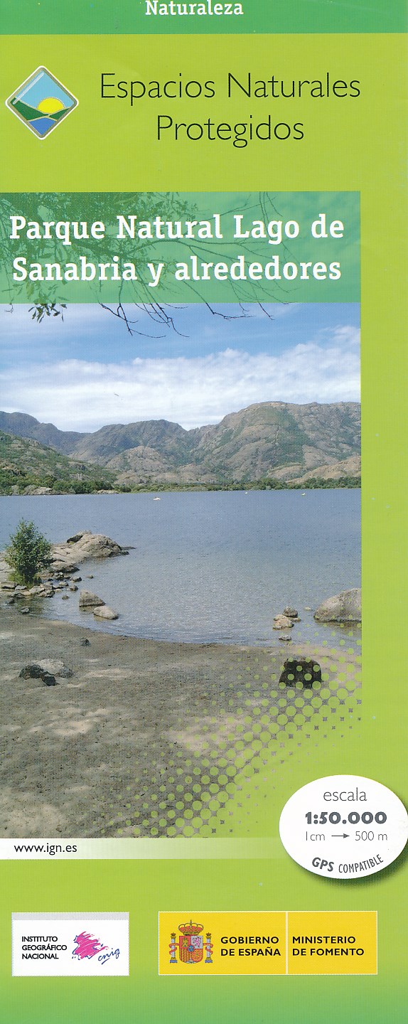
- Wandelkaart Parques Nacionales Parque Naturel Lago de Sanabria y alrededores | CNIG - Instituto Geográfico Nacional
- Lago de Sanabria Natural Park and the surrounding area of north-eastern Spain near the Portuguese border on a detailed, GPS compatible topographic map at 1:50,000 from the country Read more
- Also available from:
- Stanfords, United Kingdom

United Kingdom
2013
- Sanabria Lake and Surroundings NP CNIG Map
- Lago de Sanabria Natural Park and the surrounding area of north-eastern Spain near the Portuguese border on a detailed, GPS compatible topographic map at 1:50,000 from the country’s civilian survey organization, highlighting waymarked hiking trails, tourist accommodation and places of interest, etc.The map has the cartography of Spain’s... Read more
Netherlands
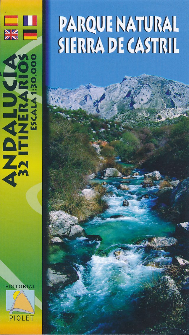
- Wandelkaart Parque Natural Sierra de Castril | Editorial Piolet
- Goede wandelkaart met hoogtelijnen en ingetekende wandelroutes van het Parque Natural Sierra de Castril in het zuidoosten van Spanje. Mapa de excursionismo del Parque Natural "Sierra de Castril"; situado en el extremo noroccidental de la provincia de Granada y colinda por el norte y el oeste con los abruptos relieves de las sierras prebéticas... Read more
Netherlands
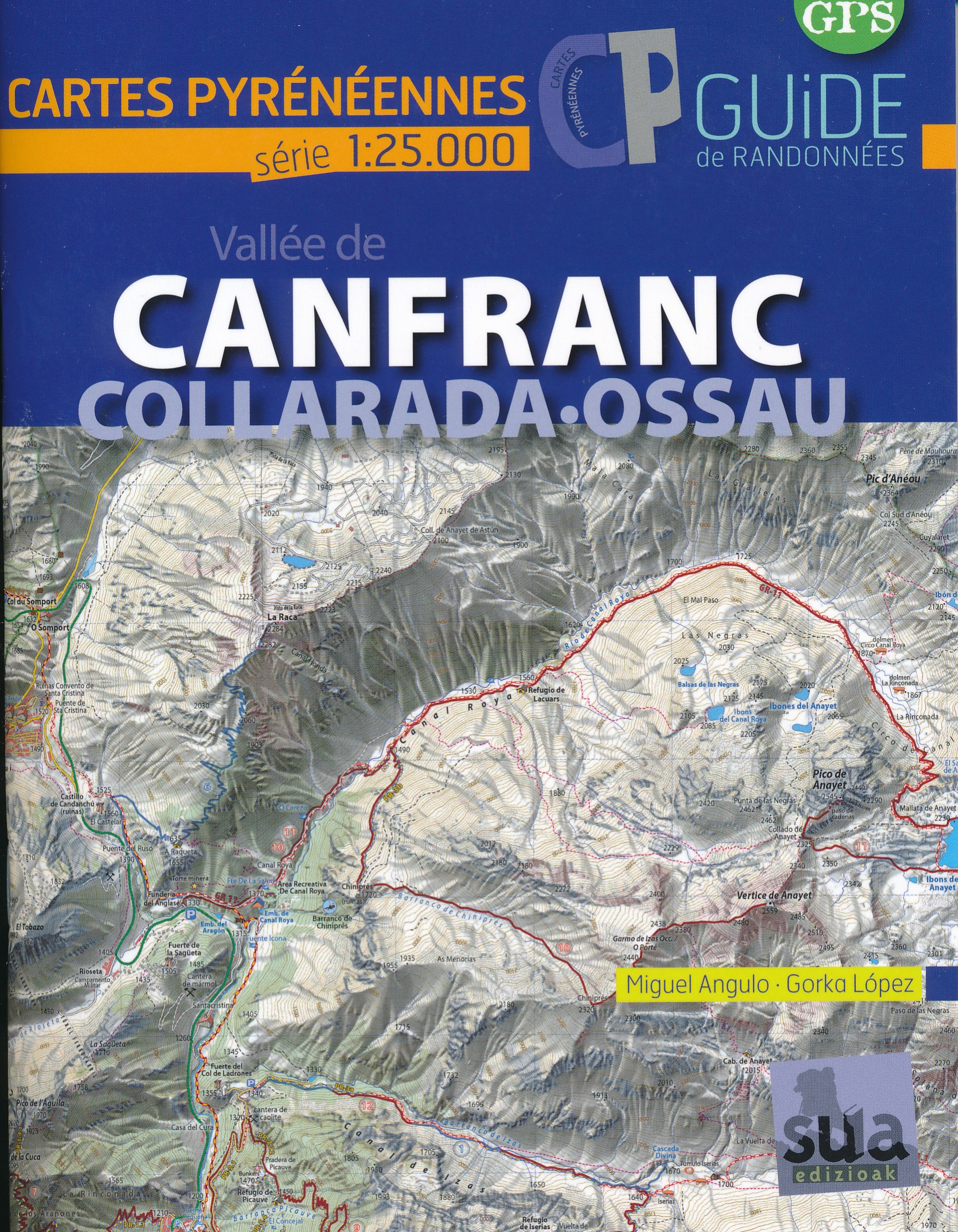
- Wandelkaart Canfranc - Collarada Ossau | Sua edizioak
- Mooie bijzonder gedetailleerde wandelkaart van een klein deel van de Pyreneeen. De wandelroutes zijn ingetekend, ook zijn met symbolen veel praktische zaken weergegeven als campings, hutten maar ook opvallende aspecten in het landschap. In de (Franstalige) gids vindt u vijftien routes met betrekking tot wandelen, fietsen en klimmen in de... Read more
Netherlands
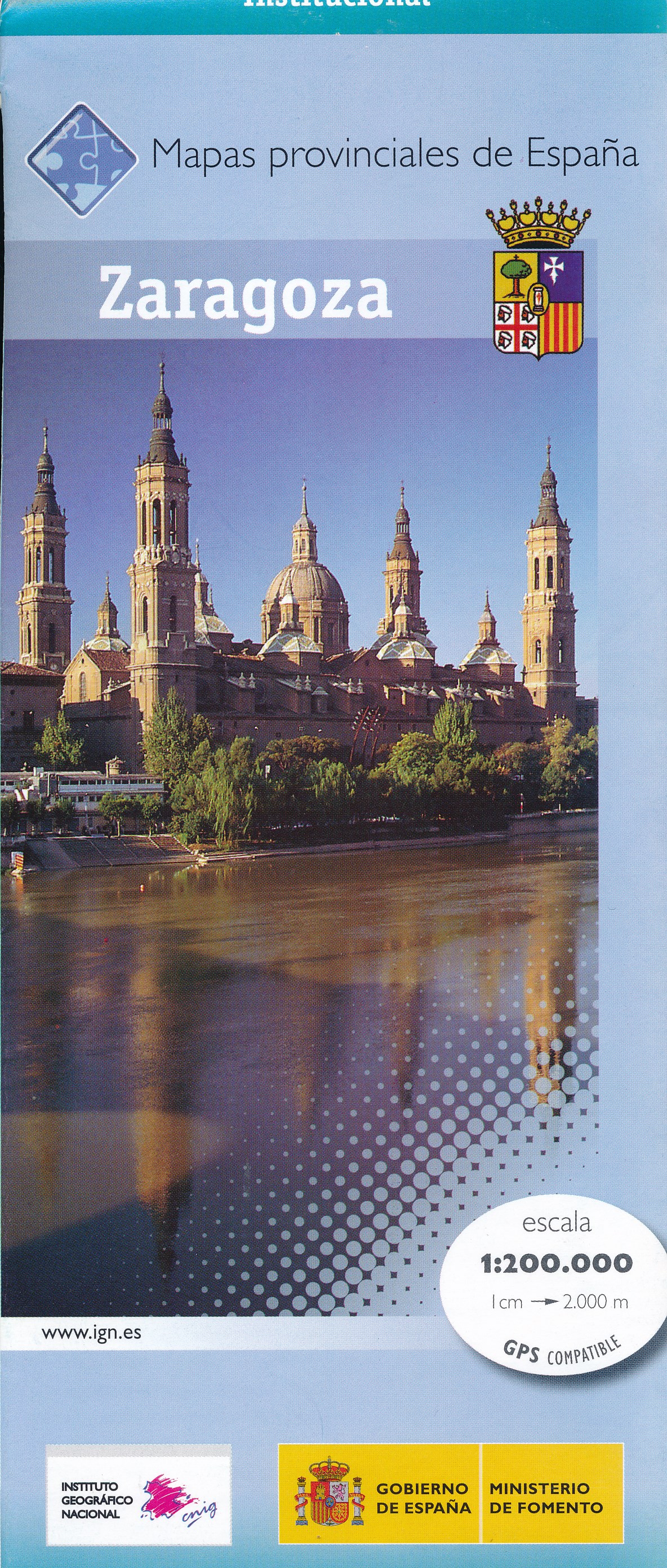
- Wegenkaart - landkaart Mapa Provincial Zaragoza | CNIG - Instituto Geográfico Nacional
- Zaragoza Province of Spain at 1:200,000 in a series of contoured, GPS-compatible, indexed road maps at 1:200,000 from the IGN/CNIG, the country’s civilian survey organization, with exceptionally informative presentation of the landscape and highlighting for facilities and places of interest including campsites and paradors.Maps in this series... Read more
- Also available from:
- Stanfords, United Kingdom

United Kingdom
- Zaragoza Province 200K CNIG Map No. 48
- Contoured, GPS-compatible, indexed road map at 1:200,000 from CNIG - Spain’s civilian survey organization, with exceptionally informative presentation of the landscape and highlighting for facilities and places of interest including campsites and paradors.Maps in CNIG’s 200K Provincial Series provide an excellent picture the topography through... Read more