Carros de Foc
Beschreibung
- Name Carros de Foc (Carros de Foc)
- Länge von Wanderweg 55 km, 34 Meilen
- Länge in Tagen 7 Tage
- Anfang von Wanderweg Espot
- Ende von Wanderweg Espot
- Traildino Schwierigkeit DW, Schwierige Wanderung, Bushwalk
- Schwierigkeitsgrad Berg- und Alpinwanderung T3, Anspruchsvolles Bergwandern


Circular Trail starting and ending in Espot, 55 km, 5 - 7 days
In Spain, and especially Catalonia, The Carros de Foc is a popular hut tour. This is partly due to the challenging sound, partly to the beauty of its nature. The route crosses the Aigües Tortes, one of the most beautiful parts of the Spanish Pyrenees, known for its many lakes and wild forests.
The legend goes back to 1987 when several men agreed to traverse the area in one single day. They succeeded, and for some reason this tour has been called "Chariots of Fire" or Carros de Foc ever since.
The tour calls on all nine refuges in and around the Parque Nacional d'Aigues Tortes i Estany de Sant Maurici. These days, people collect stamps in the huts, and nine stamps entitles them to a souvenir in the valley.
Each year a running contest takes place. The contestants have to finish the circuit as fast as possible. Some accomplish the 55 km in length and 9000 m in altitude in 9.5 hours only.
It's a medium tough hike, with some scrambling, but not difficult: an experienced mountain walker will have no trouble. Early booking (spring) of the cabins is a must, especially if you go travel in a group. In summertime season, the cabins are always full. Booking is easy via the website of Carros de Foc.


")


")


")
")


")


")


")


Links
Fakten
Berichte
Führer und Karten
Übernachtung
Organisationen
Reisebüros
GPS
Sonstiges
Bücher

United Kingdom
Karten

- Also available from:
- Stanfords, United Kingdom

United Kingdom
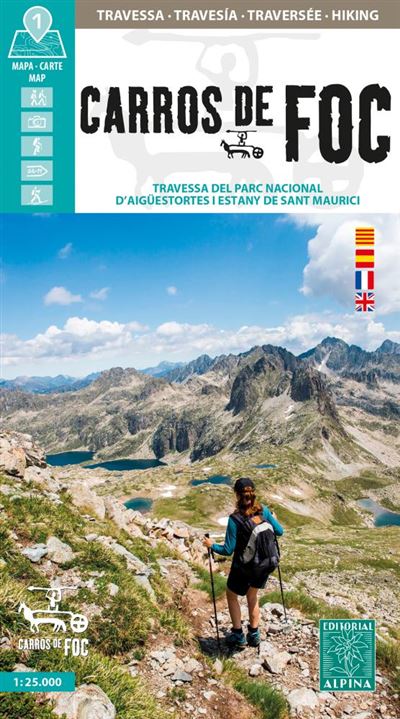
- Carros de Foc Hiking Circuit Editorial Alpina
- Carros de Foc (Chariots of Fire) Hiking Circuit, a five to seven day long hiking route in the Aigüestortes i Estany de Sant Maurici National Park, shown on a 1:25,000 map from Editorial Alpina. The map, from the publishers of an extensive hiking series for the Spanish Pyrenees, has contours at 20m intervals, relief shading, and vegetation... Read more
Netherlands
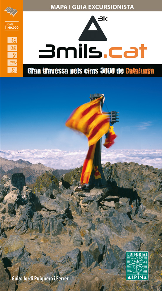
- Wandelkaart 3mils.cat | Editorial Alpina
- The “3mils.cat” route - a 125km / 10 day traverse across 10 over 3000m high peaks in the Catalan Pyrenees - on a contoured and GPS compatible map at 1:40,000 from Editorial Alpina with a booklet providing accommodation details, stage descriptions, etc.The route - from Tuc de Molières o Mulleres (3,010m), just south-east of Pic d’ Aneto, past... Read more
- Also available from:
- Stanfords, United Kingdom

United Kingdom
- 3mils.cat: Traverse of Ten 3000m Peaks in the Catalan Pyreness
- The “3mils.cat” route - a 125km / 10 day traverse across 10 over 3000m high peaks in the Catalan Pyrenees - on a contoured and GPS compatible map at 1:40,000 from Editorial Alpina with a booklet providing accommodation details, stage descriptions, etc.The route - from Tuc de Molières o Mulleres (3,010m), just south-east of Pic d’ Aneto, past... Read more