
Schweiz
Beschreibung

For the ultimate alpine experience, Switzerland is the place to be. Matterhorn, Jungfrau, Monte Rosa or Piz Bernina, these are just a few of the fifty peaks over four-thousand meters high. Famous massifs include Berner Oberland, Wallis (Valais) and Jura, and there are many, many more. Wintertime is for the skiing jet-set of course, but in summer, from July until September, hiking trails and mountain huts are open all across the country. Popular are the regions of Valais (Wallis) with the Jungfrau and the Aletsch glacier, Graubünden in the east, Tessin (Ticino) in the south, and Fribourg in the west.
There are 6 official national long distance hiking trails, and 53 regional long distance trails. This number is growing. European long distance trail E1, E2 (small tip), E4 and E5 pass through Switzerland, coinciding with national trails. The Swiss Alps are literally strewn with more than 150 excellent mountain huts for hikers to stay overnight and have a meal. In the height of summer the huts in popular regions can get crowded. Given all the information available on the internet, in guide-books and on maps, you can easily plan your own hiking itinerary from hut to hut, combining day-hikes into a multi-day itinerary ranging from an easy hike with kids to crossing glaciers in full gear for the experienced mountaineer.
In addition, no other country in Europe is so completely neat and orderly as Switzerland. Truly everything is well-organized, from cable cars to accommodation, from trail maintenance to waymarking, from maps and guidebooks to around the clock alpine rescue from the air. The Swiss Alpine Club even boasts the world's most futuristic mountain hut, the dazzling New Monte Rosa Hut, to be opened late in 2009. If it were possible to order fine weather in advance, the Swiss would surely be the first to offer this service.
Karte


Wanderwege
- Aargauer WegGPX
- Aletsch PanoramawegGPX
- Alpenkranz Uri
- Alpenpanorama-WegGPX
- AlpenpässewegGPX
- Ämtlerweg
- Berner Voralpenweg
- Bodensee RundwegGPX
- Chemin des BissesGPX
- Chemin des Trois LacsGPX
- Chemin du Jura BernoisGPX
- Chemin du VignobleGPX
- DreiländerwegGPX
- E1GPX
- E4GPX
- E5GPX
- EmmenuferwegGPX
- Freiburger VoralpenwegGPX
- Furka HöhenwegGPX
- GR5GPX
- Grenzpfad NapfberglandGPX
- Haute Route Chamonix-ZermattGPX
- Höhenweg Zürich - Gotthard
- Heidiland Wandertour
- Hintere Gasse
- Jakobsweg Waldshut-Vézelay
- Jura HöhenwegGPX
- Kesch Trek
- Klettgau-Rhein-WegGPX
- Lötschberg PanoramawegGPX
- Mittelbünden PanoramawegGPX
- Nationalpark PanoramawegGPX
- Obwaldner HöhenwegGPX
- Pragelpass-WegGPX
- Prättigauer HöhenwegGPX
- Rätikon Höhenweg
- Rheintaler HöhenwegGPX
- Sanetsch Muveran WegGPX
- Santiago de Compostela Pilgrims WayGPX
- Schanfigger HöhenwegGPX
- Schwyzer HöhenwegGPX
- Seeland-Soloturn Weg
- Senda SegantiniGPX
- Senda SursilvanaGPX
- Sentiero CristallinaGPX
- Sentiero Lago di LuganoGPX
- Sentiero VerzascaGPX
- Thurgauer PanoramawegGPX
- ThurwegGPX
- TMB - Tour du Mont BlancGPX
- Tour de Delémont
- Tour des CombinsGPX
- Tour des Dents du MidiGPX
- Tour des Grands Barrages
- Tour du Augstbordhorn
- Tour du Jungfrau
- Tour du MatterhornGPX
- Tour du Saint-BernardGPX
- Tour du Val de BagnesGPX
- Tour du WildhornGPX
- Tour Monte RosaGPX
- Tour Val d'HérensGPX
- Trans-Swiss TrailGPX
- Via AlpinaGPX
- Via EngiadinaGPX
- Via FrancigenaGPX
- Via GebennensisGPX
- Via JacobiGPX
- Via Jura
- Via Jura Regio
- Via RhenanaGPX
- Via SbrinzGPX
- Via SplugaGPX
- Via StockalperGPX
- Via ValtellinaGPX
- Walliser SonnenwegGPX
- WALSA-wegGPX
- WalserwegGPX
- Weg der SchweizGPX
- Weissenstein-Wasserfallen Weg
- Züri Oberland HöhenwegGPX
- Zürich-Zugerland PanoramawegGPX
Regionen
- Adula Alpen
- Albula Alpen
- Alpi di Livigno
- Alps
- Appenzeller und St. Galler Voralpen
- Bergell
- Berner Alpen
- Berner Oberland
- Berner Voralpen
- Bernina
- Bodensee
- Chablais
- Diablerets
- Engadin
- Giffre
- Glarner Alpen
- Grand Combin
- Graubünden
- Gruyère
- Jura
- Lac Léman
- Lago Maggiore
- Luzerner und Unterwaldner Voralpen
- Matterhorn
- Mischabel
- Mont Blanc
- Monte Leone
- Monte Rosa
- Ortler
- Platta Gruppe
- Plessur Alpen
- Prättigau
- Prealpi Luganesi
- Rätikon
- Samnaun
- Schwyzer und Urner Voralpen
- Sesvenna Gruppe
- Silvretta
- Surselva
- Ticino
- Urner Alpen
- Vierwaldstätter See
- Voralpen von Waadt und Freiburg
- Waadtländer Alpen
- Wallis
- Weisshorn
- Weissmies
- Zürichsee
Berge
- Albis
- Aletschhorn
- Allalinhorn
- Alperschällihorn
- Alphubel
- Altmann
- Aubrig
- Bachtel
- Badus
- Balmhorn
- Bös Fulen
- Bietschhorn
- Bifertenstock
- Blüemlisalp
- Breithorn
- Breithorn VS
- Brienzer Rothorn
- Brisi
- Bruschghorn
- Burgfeldstand
- Castor
- Chöpfenberg
- Clariden
- Dammastock
- Dent Blanche
- Dents du Midi
- Dirruhorn
- Doldenhorn
- Dom
- Dreiländerspitze
- Dufourspitze
- Eiger
- Finsteraarhorn
- Gäbris
- Glärnisch
- Grand Combin
- Gross Schärhorn
- Gross Windgällen
- Gspaltenhorn
- Haldensteiner Calanda
- Hausstock
- Hüser
- Hinterrugg
- Hochflue (Rigi)
- Hochwang
- Hoh Brisen
- Hohgant
- Hundwiler Höhi
- Jungfrau
- Kleiner Mythen
- Kronberg
- Lagginhorn
- Lägern
- Les Diablerets
- Liskamm
- Ludwigshöhe
- Matterhorn
- Mönch
- Mürtschenstock
- Moleson
- Monte Basòdino
- Monte Generoso
- Monte Leone
- Monte San Giorgio
- Monte San Salvatore
- Monte Tamaro
- Morgenberghorn
- Mythen, Grosser
- Nadelhorn
- Napf
- Nesthorn
- Niederbauen Chulm
- Niesen
- Oberalpstock
- Ortstock
- Parrotspitze
- Pfannenstiel
- Pilatus
- Piz Bernina
- Piz Beverin
- Piz Buin
- Piz Caschleglia
- Piz Curvér
- Piz Daint
- Piz Ela
- Piz Fess
- Piz Forbesch
- Piz Mitgel
- Piz Morteratsch
- Piz Roseg
- Piz Segnas
- Piz Surlej
- Piz Terri
- Piz Toissa
- Piz Zupò
- Pizzo Campo Tencia
- Pizzo Tambo
- Rautispitz
- Regitzer Spitz
- Rheinwaldhorn
- Rienzenstock
- Rigi-Kulm
- Rinderhorn
- Rossberg
- Säntis
- Schilthorn
- Schrattenfluh
- Schreckhorn
- Signalkuppe
- Sigriswiler Rothorn
- Six Madun
- Speer
- Stanserhorn
- Stockhorn
- Sustenhorn
- Täschhorn
- Tödi
- Tinzenhorn
- Titlis
- Tomlishorn
- Tour Sallière
- Tweralpspitz
- Vanil Noir
- Wasenhorn
- Weisshorn
- Weissmies
- Wildhorn
- Wildstrubel
- Wissigstock
- Zinalrothorn
- Zumsteinspitze


Links
Fakten
Berichte
Führer und Karten
Übernachtung
Organisationen
Reisebüros
GPS
Sonstiges
Bücher

United Kingdom
- Wandern in der Sächsischen Schweiz
- Meine schönsten Wandertouren Read more

United Kingdom
- Wandern in der Sächsischen Schweiz
- Eine Urlaubserinnerung an die Sächsische Schweiz Read more

United Kingdom
- Wandern in der Sächsischen Schweiz
- Meine schönsten Wanderungen Read more

United Kingdom
- Eingedolte Schweiz
- Unterirdische Fluss-, Bach- und Kanalwanderungen Read more


United Kingdom
2019
- Also available from:
- De Zwerver, Netherlands

United Kingdom
- Sächsische und Böhmische Schweiz
- Infos zur Reisevorbereitung Read more

United Kingdom
- Switzerland in Tolkien's Middle-Earth
- In the footsteps of his adventurous summer journey in 1911-with hiking suggestions Read more

United Kingdom
- Wandern in der Sächsischen Schweiz
- Erinnerungsalbum zur Sächsischen Schweiz Read more
Netherlands
2022
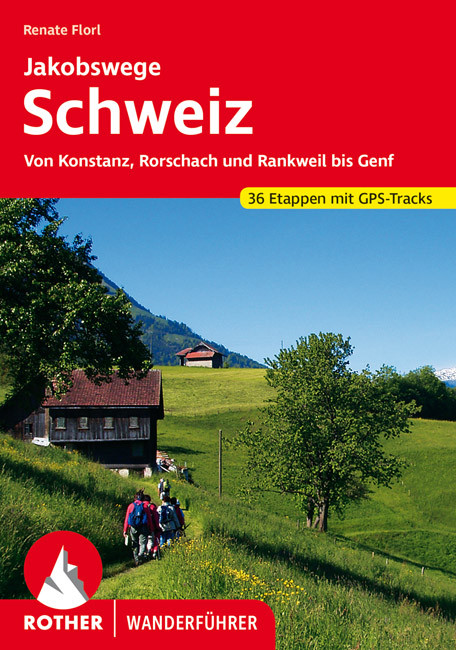
- Wandelgids Jakobswege Schweiz (Jakobsweg Zwitserland) | Rother Bergverlag
- Deze wandelgids beschrijft de Jakobsweg van Koblenz, Rorschach en Rankweil (Oostenrijk) bij Geneve en aan de Franse grens. Het geheel is opgedeeld in 36 etappes die precies beschreven zijn en aangevuld met goeie wandelkaartjes en GPS tracks (te downloaden). Overnachtingsmogelijkheden, bezienswaardigheden en achtergrondinformatie maken dit... Read more
Netherlands
2015
- Wandelgids Beer Hiking Switzerland | Helvetiq
- The Most Refreshing Way to Discover Switzerland Read more

Karten

United Kingdom
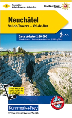
- Neuchatel / Val de Travers
- KuF Schweiz Wanderkarte 08 Neuchatel - Val-de-Travers - Val-de-Ruz / Neuenburg - Val-de-Travers - Val-de-Ruz 1 : 60 000 ab 26.8 EURO Sehensw�rdigkeiten. Unterkunft und Verpflegung. Autobuslinien mit Haltestellen. GPS. Mit Index K�mmerly und Frey Schweiz Wanderkarte. 4. Auflage, Laufzeit bis 2021 Read more
- Also available from:
- De Zwerver, Netherlands
Netherlands
- Wandelkaart 08 Neuchâtel - Val de Travers - Murtensee, Zwitserse Jura | Kümmerly & Frey
- KuF Schweiz Wanderkarte 08 Neuchatel - Val-de-Travers - Val-de-Ruz / Neuenburg - Val-de-Travers - Val-de-Ruz 1 : 60 000 ab 26.8 EURO Sehensw�rdigkeiten. Unterkunft und Verpflegung. Autobuslinien mit Haltestellen. GPS. Mit Index K�mmerly und Frey Schweiz Wanderkarte. 4. Auflage, Laufzeit bis 2021 Read more

United Kingdom
- Locarno
- Een nieuwe serie van de Zwitserse topografische dienst: eindelijk goede wandelkaarten met ingetekende wandelroutes op scheur- en watervast papier. Vooralsnog zijn ze uitgebracht van de populaire wandelgebieden en niet landelijk dekkend (zie overzicht) Op een gedetailleerde schaal van 1:33.333 met als ondergrond de onovertroffen topografische... Read more
- Also available from:
- De Zwerver, Netherlands
- Stanfords, United Kingdom
Netherlands
- Wandelkaart - Topografische kaart 3308T Locarno | Swisstopo
- Een nieuwe serie van de Zwitserse topografische dienst: eindelijk goede wandelkaarten met ingetekende wandelroutes op scheur- en watervast papier. Vooralsnog zijn ze uitgebracht van de populaire wandelgebieden en niet landelijk dekkend (zie overzicht) Op een gedetailleerde schaal van 1:33.333 met als ondergrond de onovertroffen topografische... Read more

United Kingdom
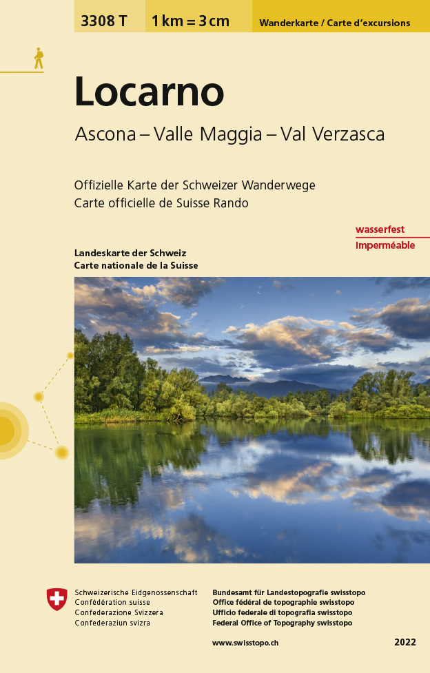
- Locarno - Ascona - Valle Maggia - Val Verzasca Swisstopo Hiking 3308T
- Locarno - Ascona - Valle Maggia - Val Verzasca area of Ticino at 1:33,333 on light, waterproof and tear-resistant map No. 3308T published by Swisstopo in cooperation with the Swiss Hiking Federation. Cartography is the same as in Swisstopo’s 50K hiking maps, simply enlarged to 1:33,333 for extra clarity but without additional information.... Read more

United Kingdom
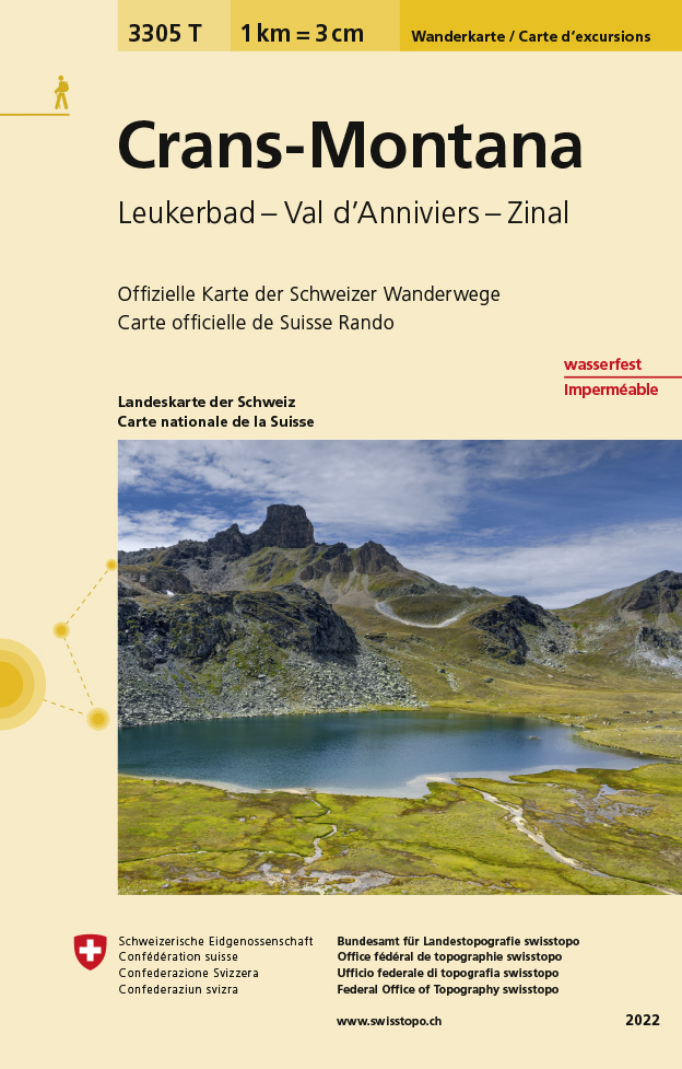
- Craens - Montana
- Een nieuwe serie van de Zwitserse topografische dienst: eindelijk goede wandelkaarten met ingetekende wandelroutes op scheur- en watervast papier. Vooralsnog zijn ze uitgebracht van de populaire wandelgebieden en niet landelijk dekkend (zie overzicht) Op een gedetailleerde schaal van 1:33.333 met als ondergrond de onovertroffen topografische... Read more
- Also available from:
- De Zwerver, Netherlands
- Stanfords, United Kingdom
Netherlands
- Wandelkaart - Topografische kaart 3305T Crans-Montana | Swisstopo
- Een nieuwe serie van de Zwitserse topografische dienst: eindelijk goede wandelkaarten met ingetekende wandelroutes op scheur- en watervast papier. Vooralsnog zijn ze uitgebracht van de populaire wandelgebieden en niet landelijk dekkend (zie overzicht) Op een gedetailleerde schaal van 1:33.333 met als ondergrond de onovertroffen topografische... Read more

United Kingdom
- Crans-Montana - Leukerbad - Val d`Anniviers - Zinal Swisstopo Hiking 3305T
- Crans-Montana - Leukerbad - Val d’Anniviers - Zinal area at 1:33,333 on light, waterproof and tear-resistant map No. 3305T published by Swisstopo in cooperation with the Swiss Hiking Federation. Cartography is the same as in Swisstopo’s 50K hiking maps, simply enlarged to 1:33,333 for extra clarity but without additional information. With... Read more
Netherlands
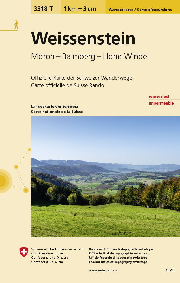
- Wandelkaart - Topografische kaart 3318T Weissenstein | Swisstopo
- Een nieuwe serie van de Zwitserse topografische dienst: eindelijk goede wandelkaarten met ingetekende wandelroutes op scheur- en watervast papier. Vooralsnog zijn ze uitgebracht van de populaire wandelgebieden en niet landelijk dekkend (zie overzicht) Op een gedetailleerde schaal van 1:33.333 met als ondergrond de onovertroffen topografische... Read more
- Also available from:
- Stanfords, United Kingdom

United Kingdom
- Weissenstein - Moron - Balmberg - Hohe Winde Swisstopo Hiking 3318T
- Weissenstein area at 1:33,333 on light, waterproof and tear-resistant map No. 3318T published by Swisstopo in cooperation with the Swiss Hiking Federation. Cartography is the same as in Swisstopo’s 50K hiking maps, simply enlarged to 1:33,333 for extra clarity but without additional information. 1:33,333 editions of Swisstopo’s hiking maps have... Read more
Netherlands
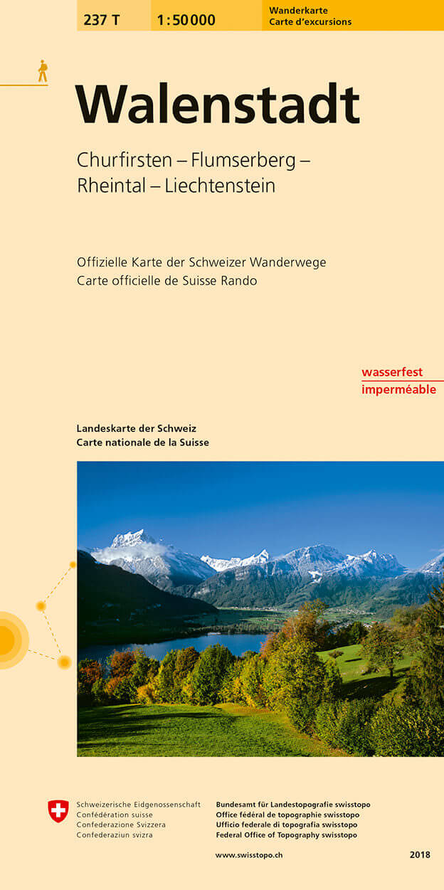
- Wandelkaart 237T Walenstadt | Swisstopo
- Walenstadt area, map No. 237T, at 1:50,000 in a special hiking edition of the country Read more
- Also available from:
- Stanfords, United Kingdom

United Kingdom
- Walenstadt Swisstopo Hiking 237T
- Walenstadt area, map No. 237T, at 1:50,000 in a special hiking edition of the country’s topographic survey, published by Swisstopo in cooperation with the Swiss Hiking Federation. Coverage includes the south-western part of Liechtenstein.Cartography, identical to the standard version of the survey, is highly regarded for its superb use of... Read more
Netherlands
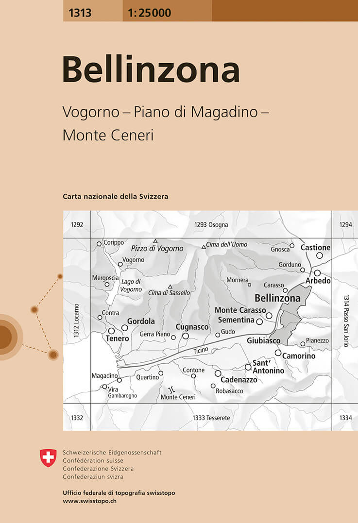
- Wandelkaart - Topografische kaart 1313 Bellinzona | Swisstopo
- Map No. 1313, Bellinzona, in the topographic survey of Switzerland at 1:25,000 from Bundesamt f Read more
- Also available from:
- Stanfords, United Kingdom

United Kingdom
- Bellinzona Swisstopo 1313
- Map No. 1313, Bellinzona, in the topographic survey of Switzerland at 1:25,000 from Bundesamt für Landestopographie (swisstopo), covering the whole country on 247 small format sheets, with special larger maps published for popular regions including some titles now available in hiking versions.Highly regarded for their superb use of graphic... Read more
Netherlands
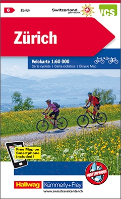
- Fietskaart 06 Zürich | Kümmerly & Frey
- KuF Schweiz Radkarte 06 Zürich 1 : 60 000 ab 28.8 EURO Mit Stadtplan Kümmerly und Frey Schweiz Radkarte Kümmerly & Frey Karte. 4. Auflage, Laufzeit bis 2019 Read more
Netherlands
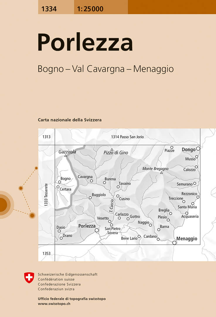
- Wandelkaart - Topografische kaart 1334 Porlezza | Swisstopo
- Map No. 1334, Porlezza, in the topographic survey of Switzerland at 1:25,000 from Bundesamt f Read more
- Also available from:
- Stanfords, United Kingdom

United Kingdom
- Porlezza Swisstopo 1334
- Map No. 1334, Porlezza, in the topographic survey of Switzerland at 1:25,000 from Bundesamt für Landestopographie (swisstopo), covering the whole country on 247 small format sheets, with special larger maps published for popular regions including some titles now available in hiking versions.Highly regarded for their superb use of graphic relief... Read more
Netherlands
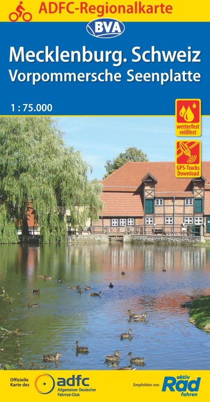
- Fietskaart ADFC Regionalkarte Mecklenburgische Schweiz / Vorpommersche Seenplatte | BVA BikeMedia
- Mecklenburgische Schweiz - Vorpommersche Flusslandschaft on a waterproof, tear-resistant, GPS compatible cycling map at 1:75,000 from the ADFC (Allgemeiner Deutscher Fahrrad-Club - the official German cycling federation), in a series of maps with extensive overprint for long-distance and local cycling routes. GPS waypoints, route profiles,... Read more
- Also available from:
- Stanfords, United Kingdom

United Kingdom
- Mecklenburgische Schweiz - Vorpommersche Flusslandschaft
- Mecklenburgische Schweiz - Vorpommersche Flusslandschaft on a waterproof, tear-resistant, GPS compatible cycling map at 1:75,000 from the ADFC (Allgemeiner Deutscher Fahrrad-Club - the official German cycling federation), in a series of maps with extensive overprint for long-distance and local cycling routes. GPS waypoints, route profiles,... Read more
Netherlands
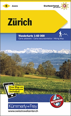
- Wandelkaart 06 Zürich - Zurich | Kümmerly & Frey
- Z�rich Wanderkarte 1:60 000 Nr. 06 ab 26.8 EURO Free Map on Smartphone included! K�mmerly und Frey Schweiz Wanderkarte Schweizer Wanderkarten. 5. Auflage, Laufzeit bis 2021 Read more
Netherlands
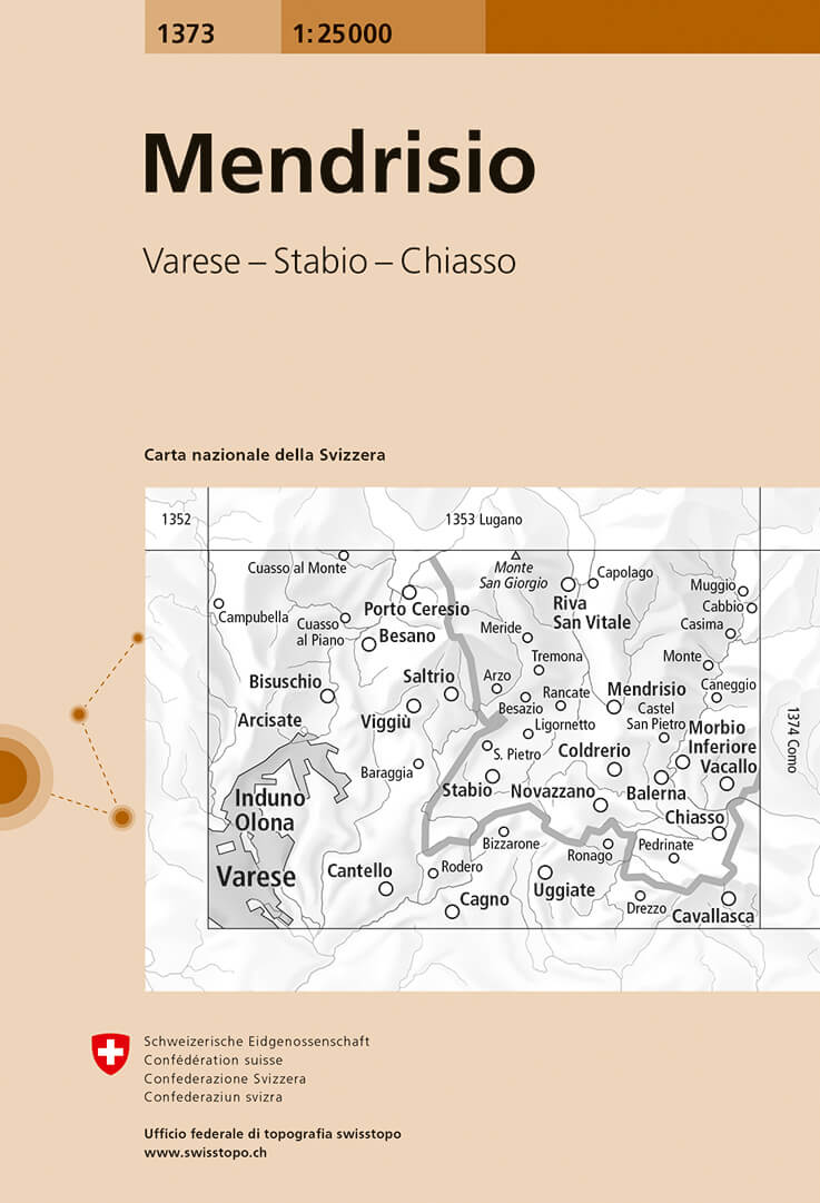
- Wandelkaart - Topografische kaart 1373 Mendrisio | Swisstopo
- Map No. 1373, Mendrisio, in the topographic survey of Switzerland at 1:25,000 from Bundesamt f Read more
- Also available from:
- Stanfords, United Kingdom
United Kingdom
- Mendrisio Swisstopo 1373
- Map No. 1373, Mendrisio, in the topographic survey of Switzerland at 1:25,000 from Bundesamt für Landestopographie (swisstopo), covering the whole country on 247 small format sheets, with special larger maps published for popular regions including some titles now available in hiking versions.Highly regarded for their superb use of graphic... Read more
Netherlands
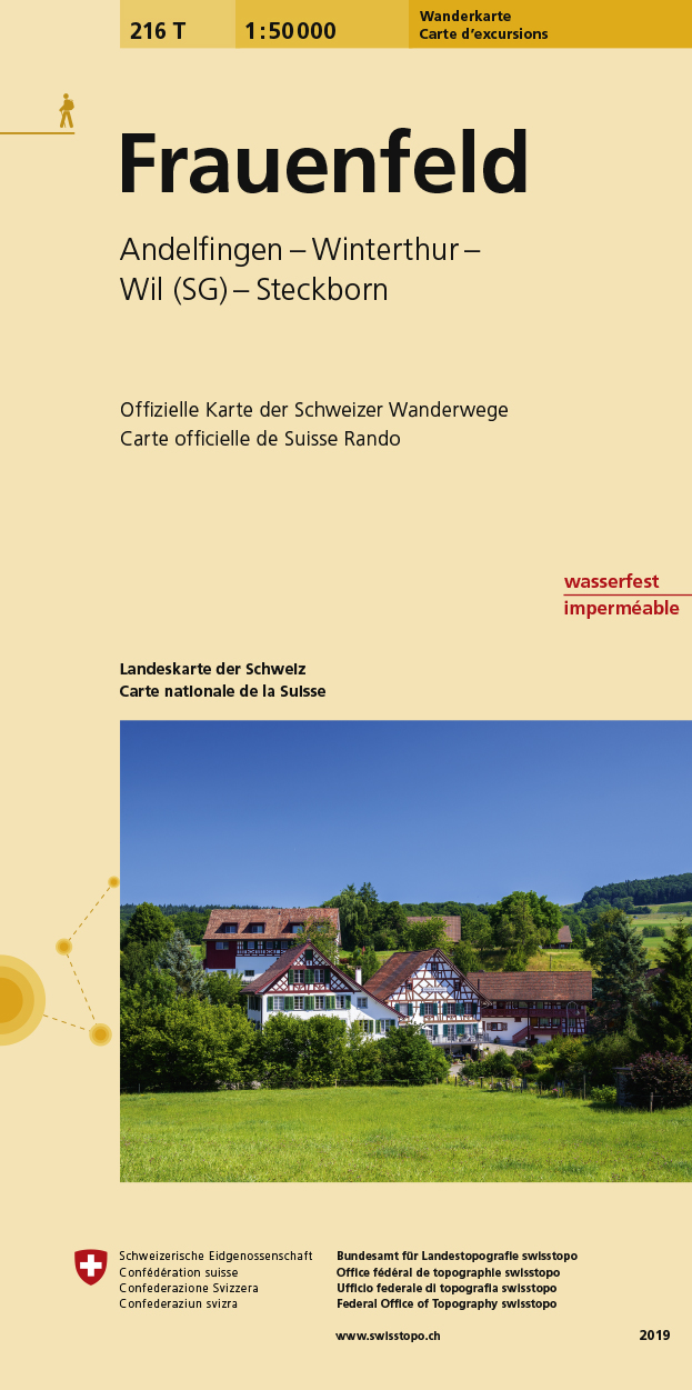
- Wandelkaart 216T Frauenfeld | Swisstopo
- Frauenfeld area, map No. 216T, at 1:50,000 in a special hiking edition of the country Read more
- Also available from:
- Stanfords, United Kingdom

United Kingdom
- Frauenfeld Swisstopo Hiking 216T
- Frauenfeld area, map No. 216T, at 1:50,000 in a special hiking edition of the country’s topographic survey, published by Swisstopo in cooperation with the Swiss Hiking Federation. Cartography, identical to the standard version of the survey, is highly regarded for its superb use of graphic relief and hill shading to provide an almost 3-D... Read more
Netherlands
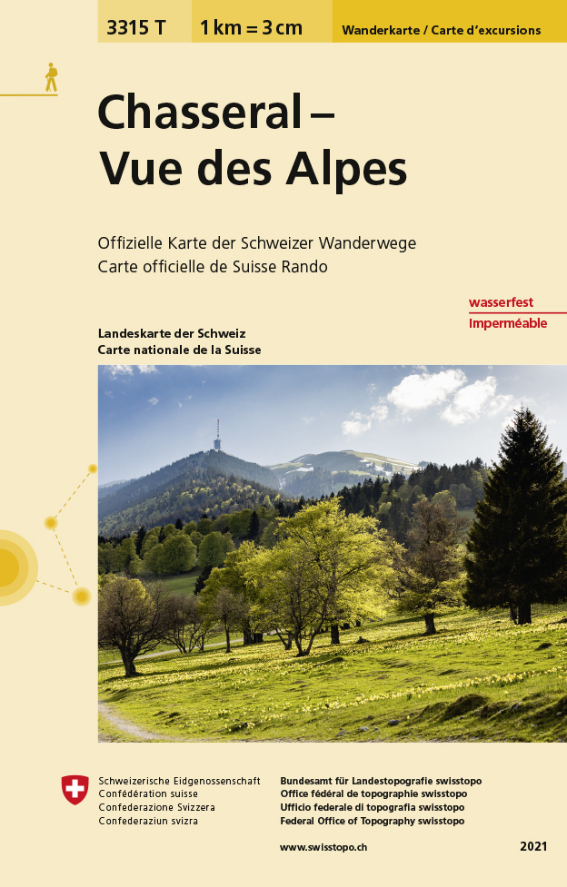
- Wandelkaart - Topografische kaart 3315T Chasseral - Vue des Alpes | Swisstopo
- Een nieuwe serie van de Zwitserse topografische dienst: eindelijk goede wandelkaarten met ingetekende wandelroutes op scheur- en watervast papier. Vooralsnog zijn ze uitgebracht van de populaire wandelgebieden en niet landelijk dekkend (zie overzicht) Op een gedetailleerde schaal van 1:33.333 met als ondergrond de onovertroffen topografische... Read more
- Also available from:
- Stanfords, United Kingdom

United Kingdom
- Chasseral - Vue des Alpes Swisstopo Hiking 3315T
- Chasseral - Vue des Alpes area at 1:33,333 on light, waterproof and tear-resistant map No. 3315T published by Swisstopo in cooperation with the Swiss Hiking Federation. Cartography is the same as in Swisstopo’s 50K hiking maps, simply enlarged to 1:33,333 for extra clarity but without additional information. 1:33,333 editions of Swisstopo’s... Read more
Netherlands
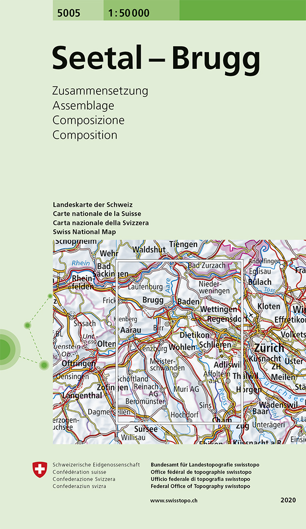
- Wandelkaart - Topografische kaart 5005 Seetal - Brugg | Swisstopo
- Seetal - Brugg area, map No. 5005, in the standard topographic survey of Switzerland at 1:50,000 from Swisstopo, i.e. without the special overprint highlighting walking trails, local bus stops, etc, presented in Swisstopo Read more
- Also available from:
- Stanfords, United Kingdom

United Kingdom
- Seetal - Brugg Swisstopo 5005
- Seetal - Brugg area, map No. 5005, in the standard topographic survey of Switzerland at 1:50,000 from Swisstopo, i.e. without the special overprint highlighting walking trails, local bus stops, etc, presented in Swisstopo’s hiking editions of the 50K survey. Highly regarded for their superb use of graphic relief and hill shading, the maps give... Read more