
Great Eastern Trail
Beschreibung
- Name Great Eastern Trail (GET)
- Länge von Wanderweg 2,575 km, 1,600 Meilen
- Länge in Tagen 170 Tage
- Traildino Schwierigkeit SW, Anspruchsvolle Wanderung, Bergwanderung
- Schwierigkeitsgrad Berg- und Alpinwanderung T2, Bergwandern
 GET, 1600 miles (2575 km)
Hiking trail from Alabama to New York, in the eastern States, along the Appalachian Mountains. The proposed length is 1600 miles (2575 km) or even 2000 miles. The GET should get the pressure off the AT. Currently, many local organisations are working together to get a deffinite route proposal. Under construction.
Karte


Links
Fakten
Berichte
Führer und Karten
Übernachtung
Organisationen
Reisebüros
GPS
Sonstiges
Bücher


The Book Depository
United Kingdom
2017
United Kingdom
2017
- Algarve Sunflower Guide
- 50 long and short walks with detailed maps and GPS; 5 car tours with pull-out map Read more
- Also available from:
- Stanfords, United Kingdom

Stanfords
United Kingdom
2017
United Kingdom
2017
- Algarve Sunflower Landscape Guide
- Away from the busy beaches, the Algarve has a countryside full of interest and beauty, quietly awaiting discovery. From flowers and fountains, hilltops and history, to windmills and water-mills, this book will set your feet wandering to find them all. There are car tours, too, to get you out and about, searching out little-known points of... Read more

The Book Depository
United Kingdom
United Kingdom
- London's Secret Walks
- 25 Walks Around London's Most Historic Districts Read more
- Also available from:
- Stanfords, United Kingdom

Stanfords
United Kingdom
United Kingdom
- London`s Secret Walks: 25 Walks Around London`s Most Historic Districts
- London is a great city for walking - whether for pleasure, exercise or simply to get from A to B. Despite the city`s extensive public transport system, walking is also often the quickest and most enjoyable way to get around - at least in the centre - and it`s also free and healthy!London has a somewhat haphazard street pattern (to put it... Read more

- Also available from:
- Stanfords, United Kingdom

Stanfords
United Kingdom
2021
United Kingdom
2021
- North Cotswold Classic Walks
- Explore the north Cotswolds with this laminated, waterproof Cotswolds walking map. With 10 circular, clearly-marked routes this easy-to-use map will help you discover the Cotswolds via some of the finest pubs and tearooms. Step into the Cotswolds with these exceptionally beautiful walks. Discover idyllic honey-coloured stone villages,... Read more

- Also available from:
- Stanfords, United Kingdom

Stanfords
United Kingdom
United Kingdom
- The Manhattan Nobody Knows: An Urban Walking Guide
- A unique walking guide to Manhattan, from the author of `The New York Nobody Knows`Bill Helmreich walked every block of New York City--six-thousand miles in all--to write the award-winning `The New York Nobody Knows`. Now he has re-walked most of Manhattan--721 miles--to write this new, one-of-a-kind walking guide to the heart of one of the... Read more

- Also available from:
- De Zwerver, Netherlands
- Stanfords, United Kingdom


Stanfords
United Kingdom
2021
United Kingdom
2021
- Lonely Planet Best Day Walks Italy
- Lonely Planet`s Best Day Walks Italy is your passport to 60 easy escapes into nature. Stretch your legs outside the city by picking a hike that works for you, from just a couple of hours to a full day, from easy to hard. Hike the Dolomites, explore the Italian Lakes, and stroll Sardinia`s coast. Get to the heart of Italy and begin your journey... Read more

The Book Depository
United Kingdom
United Kingdom
- How To Get Started With Potty Training
- Great Advice For Successful Potty Training: Parenting Infants Read more

The Book Depository
United Kingdom
United Kingdom
- London's Waterside Walks
- 21 Walks Along the City's Most Interesting Rivers, Canals & Docks Read more
- Also available from:
- Stanfords, United Kingdom

Stanfords
United Kingdom
United Kingdom
- London`s Waterside Walks: 21 Walks Along the City`s Most Interesting Rivers, Canals & Docks
- Many people are familiar with London`s River Thames, but the city has much more to offer when it comes to waterways, including a wealth of canals, minor rivers (most are tributaries of the Thames), lakes and reservoirs that offer tranquil and beautiful walks. Many waterways have dedicated walking and cycling paths alongside them, notably the... Read more

- Also available from:
- Stanfords, United Kingdom

Stanfords
United Kingdom
United Kingdom
- Derbyshire & the Peak District - a Dog Walker`s Guide
- On a fine day there is nothing quite so enjoyable for dog owners than getting out into the countryside with their pet for a leisurely walk. Once you get off your home patch, though, it is hard to know where you can walk safely with your dog and which pubs and cafes will welcome you both.Here is a collection of 20 walks, varying in length... Read more

The Book Depository
United Kingdom
United Kingdom
- Thinking on My Feet
- The small joy of putting one foot in front of another Read more
- Also available from:
- Stanfords, United Kingdom

Stanfords
United Kingdom
United Kingdom
- Thinking on My Feet: The small joy of putting one foot in front of another
- Shortlisted for the 2019 Edward Stanford Travel Writing Award`s Travel Memoir of the Year`A beautiful and magnificent book. A paean to a simple act. I defy you to read this book and not be inspired to walk, march or hike - and as a result live a better life more connected with nature and the world around you.` - Simon Reeve`A lovely book,... Read more

- Also available from:
- Stanfords, United Kingdom

Stanfords
United Kingdom
United Kingdom
- The Last Wilderness: A Journey into Silence
- Neil Ansell`s `The Last Wilderness` is a mesmerising book on nature and solitude by a writer who has spent his lifetime taking solitary ventures into the wild. For any readers of the author`s previous book, `Deep Country`, Robert Macfarlane`s `The Old Ways` or William Atkins` `The Moor`.`A gem of a book, an extraordinary tale. Ansell`s rich... Read more

- Also available from:
- De Zwerver, Netherlands
- Stanfords, United Kingdom


Stanfords
United Kingdom
2021
United Kingdom
2021
- Lonely Planet Best Day Walks Japan
- Lonely Planet`s Best Day Walks Japan is your passport to 60 easy escapes into nature. Stretch your legs away from the city by picking a walk that works for you, from just a couple of hours to a full day, from easy to hard. Climb Mt Fuji, walk the Tohoku coast, and enjoy the views in Kamikochi. Get to the heart of Japan and begin your journey... Read more

The Book Depository
United Kingdom
2019
United Kingdom
2019
- Walkers's Haute Route: Chamonix to Zermatt
- The epic journey between Mont Blanc and the Matterhorn Read more
- Also available from:
- De Zwerver, Netherlands

De Zwerver
Netherlands
2019
Netherlands
2019
- Wandelgids Walker's Haute Route: Chamonix to Zermatt | Knife Edge Outdoor
- The epic journey between Mont Blanc and the Matterhorn Read more

The Book Depository
United Kingdom
United Kingdom
- Moon Tokyo Walks (First Edition)
- See the City Like a Local Read more
- Also available from:
- Stanfords, United Kingdom

Stanfords
United Kingdom
United Kingdom
- Moon Tokyo Walks - First Edition: See the City Like a Local
- Experience Tokyo like a local: on foot! Stroll through the city and soak up its infectious energy, futuristic charm, and centuries of Japanese art and culture with `Moon Tokyo Walks`.- Walk through the city`s coolest neighbourhoods, including Shibuya, Harajuku, Shinjuku, Ginza, and more with colour-coded stops and turn-by-turn directions- Find... Read more

The Book Depository
United Kingdom
2019
United Kingdom
2019
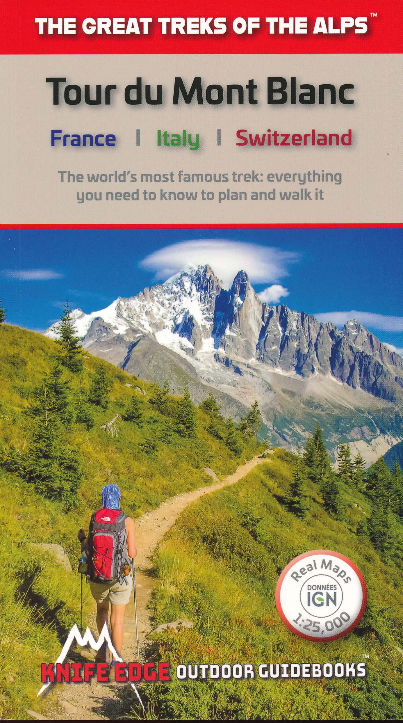
- Tour du Mont Blanc
- The World's most famous trek - everything you need to know to plan and walk it Read more
- Also available from:
- De Zwerver, Netherlands
De Zwerver
Netherlands
2019
Netherlands
2019
- Wandelgids Tour Du Mont Blanc | Knife Edge Outdoor
- The World's most famous trek - everything you need to know to plan and walk it Read more
Karten

- Also available from:
- De Zwerver, Netherlands


The Book Depository
United Kingdom
2018
United Kingdom
2018
- Ben Nevis and Glen Coe
- Waterproof mountain map of Ben Nevis & Glen Coe from Harvey at 1:40,000, with a geological map of the region on the reverse, an enlargement of Ben Nevis' summit, and advice on navigating the region safely.MAIN MAP: Topography is shown through clear altitude shading, spot heights, contours at 15m intervals, and index contours at 75m intervals. A... Read more
- Also available from:
- De Zwerver, Netherlands
- Stanfords, United Kingdom

De Zwerver
Netherlands
2018
Netherlands
2018
- Wandelkaart Ben Nevis & Glen Coe | Harvey Maps
- Waterproof mountain map of Ben Nevis & Glen Coe from Harvey at 1:40,000, with a geological map of the region on the reverse, an enlargement of Ben Nevis' summit, and advice on navigating the region safely.MAIN MAP: Topography is shown through clear altitude shading, spot heights, contours at 15m intervals, and index contours at 75m intervals. A... Read more

Stanfords
United Kingdom
2018
United Kingdom
2018
- Ben Nevis & Glen Coe Harvey British Mountain Map XT40
- Waterproof mountain map of Ben Nevis & Glen Coe from Harvey at 1:40,000, with a geological map of the region on the reverse, an enlargement of Ben Nevis` summit, and advice on navigating the region safely.*MAIN MAP:* Topography is shown through clear altitude shading, spot heights, contours at 15m intervals, and index contours at 75m intervals.... Read more

De Zwerver
Netherlands
2019
Netherlands
2019
- Reisgids Iceland Road Guide | Vegahandbokin
- Iceland Road Guide from Vegahandbókin, an exceptionally comprehensive, 605-page guide with region-by-region descriptions of sites accompanied by road maps and street plans, plus a separate road atlas section covering the whole country at 1:500,000 and information on a wide variety of tourism relating topics to help the user get the best of... Read more
Stanfords
United Kingdom
United Kingdom
- Nepal Survey 1:25,000 Sheet 2883 11B (Tatopani)
- Koban, sheet no. 2883-07, in the topographic survey of Nepal at 1:50,000 published by the Nepali Government in the late 1990s and early 2000s and produced from remote sensing data by Finnish cartographers as part of that country’s international aid program. The maps cover 15’ x 15’ quadrangles.IMPORTANT – PLEASE NOTE BEFORE ORDERING:... Read more
Stanfords
United Kingdom
United Kingdom
- Nepal Survey 1:25,000 Sheet 2883 11D (Patichaur)
- Koban, sheet no. 2883-07, in the topographic survey of Nepal at 1:50,000 published by the Nepali Government in the late 1990s and early 2000s and produced from remote sensing data by Finnish cartographers as part of that country’s international aid program. The maps cover 15’ x 15’ quadrangles.IMPORTANT – PLEASE NOTE BEFORE ORDERING:... Read more

Stanfords
United Kingdom
United Kingdom
- Dhunche (2885 14)
- Upper Langtang Valley, sheet no. 2885-15, in the topographic survey of Nepal at 1:50,000 published by the Nepali Government in the late 1990s and early 2000s and produced from remote sensing data by Finnish cartographers as part of that country’s international aid program. The maps cover 15’ x 15’ quadrangles.IMPORTANT – PLEASE NOTE BEFORE... Read more

Stanfords
United Kingdom
United Kingdom
- Barcelona High 5 Edition Street Plan
- The first water-resistant “Comfort Map“ with direct access to useful additional information from the InternetBarcelona in a scale of 1:20,000 including detailed presentation of the old town in a scale of 1:11,000 presented on a practical map; inclusive of the High 5 Edition app technology for calling up additional travel information and many... Read more
Stanfords
United Kingdom
United Kingdom
- Damodar Himal
- Damodar Himal, sheet no. 2884-01, in the topographic survey of Nepal at 1:50,000 published by the Nepali Government in the late 1990s and early 2000s and produced from remote sensing data by Finnish cartographers as part of that country’s international aid program. The maps cover 15’ x 15’ quadrangles.IMPORTANT – PLEASE NOTE BEFORE ORDERING:... Read more

Stanfords
United Kingdom
United Kingdom
- Berlin High 5 Edition Street Plan
- The first water-resistant “Comfort Map“ with direct access to useful additional information from the InternetBerlin in a scale of 1:20,000 presented on a practical map; inclusive of the High 5 Edition app technology for calling up additional travel information and many other benefits:- just the right size - 9.6 x 16.1 cm - to fit comfortably... Read more

Stanfords
United Kingdom
United Kingdom
- Cycling the Canal de la Garonne: From Bordeaux to Toulouse
- This guidebook presents a cycle ride along the Canal de la Garonne in the south of France. The 290km route is covered in 7 stages from bustling Bordeaux to the splendid rose city of Toulouse, with a 135km excursion from to Lacanau on the Atlantic coast. Optional side trips explore the countryside and historical towns and villages, including... Read more
Stanfords
United Kingdom
United Kingdom
- Muktinath
- Koban, sheet no. 2883-07, in the topographic survey of Nepal at 1:50,000 published by the Nepali Government in the late 1990s and early 2000s and produced from remote sensing data by Finnish cartographers as part of that country’s international aid program. The maps cover 15’ x 15’ quadrangles.IMPORTANT – PLEASE NOTE BEFORE ORDERING:... Read more

Stanfords
United Kingdom
United Kingdom
- New York City High 5 Edition Street Plan
- The first water-resistant “Comfort Map“ with direct access to useful additional information from the InternetThe world-famous Manhattan district in a scale of 1:16,000 and an overview of New York City in a scale of 1:75,000 presented on a practical map; inclusive of the High 5 Edition app technology for calling up additional travel information... Read more

Stanfords
United Kingdom
United Kingdom
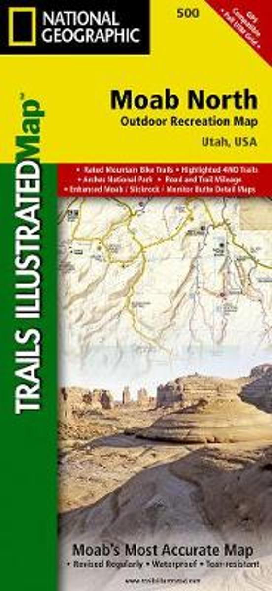
- Moab North UT NGS Trails Illustrated Outdoor Recreation Map 500
- Map No. 500, Moab North Mountain Bike Map, in an extensive series of GPS compatible, contoured hiking maps of USA’s national and state parks or forests and other popular recreational areas. Cartography based on the national topographic survey, with additional tourist information.The maps, with most titles now printed on light, waterproof and... Read more
- Also available from:
- Bol.com, Netherlands
- Bol.com, Belgium
Bol.com
Netherlands
Netherlands
- Moab North
- Waterproof Tear-Resistant Topographic MapA popular destination for mountain biking, hiking, whitewater rafting, and four-wheeling, Moab offers adventure and recreation in one of the most iconic landscapes in the United States. National Geographic's Trails Illustrated map of Moab North was created in partnership with local land management... Read more
Bol.com
Belgium
Belgium
- Moab North
- Waterproof Tear-Resistant Topographic MapA popular destination for mountain biking, hiking, whitewater rafting, and four-wheeling, Moab offers adventure and recreation in one of the most iconic landscapes in the United States. National Geographic's Trails Illustrated map of Moab North was created in partnership with local land management... Read more

The Book Depository
United Kingdom
United Kingdom
- Bryce Canyon National Park
- Trails Illustrated National Parks Read more
- Also available from:
- De Zwerver, Netherlands
- Stanfords, United Kingdom
- Bol.com, Netherlands
- Bol.com, Belgium

De Zwerver
Netherlands
Netherlands
- Wandelkaart - Topografische kaart 219 Bryce Canyon National Park | National Geographic
- Prachtige geplastificeerde kaart van het bekende nationaal park. Met alle recreatieve voorzieningen als campsites, maar ook met topografische details en wandelroutes ed. Door uitgekiend kleurgebruik zeer prettig in gebruik. Scheur en watervast! This informative Trails Illustrated map will help you plan trips and explore the area in and around... Read more

Stanfords
United Kingdom
United Kingdom
- Bryce Canyon National Park UT NGS Trails Illustrated Map 219
- Map No. 219, Bryce Canyon National Park, UT, in an extensive series of GPS compatible, contoured hiking maps of USA’s national and state parks or forests and other popular recreational areas. Cartography based on the national topographic survey, with additional tourist information.The maps, with most titles now printed on light, waterproof and... Read more

Bol.com
Netherlands
Netherlands
- Bryce Canyon National Park
- Waterproof Tear-Resistant Topographic MapNational Geographic's Trails Illustrated map of Bryce Canyon National Park is designed to meet the needs of outdoor enthusiasts by combining valuable information with unmatched detail of this unique landscape of hoodoos and forest. Created in partnership with local land management agencies, this... Read more
Bol.com
Belgium
Belgium
- Bryce Canyon National Park
- Waterproof Tear-Resistant Topographic MapNational Geographic's Trails Illustrated map of Bryce Canyon National Park is designed to meet the needs of outdoor enthusiasts by combining valuable information with unmatched detail of this unique landscape of hoodoos and forest. Created in partnership with local land management agencies, this... Read more

Ordnance Survey
United Kingdom
United Kingdom
- Ordnance Survey OS Wireless Cadence & Speed Sensor
- Get essential information on your training that can improve your fitness and refine your training goals with the OS Wireless Cadence and Speed Sensor. Whether you want to smooth your pedal stroke, develop muscular endurance or get a cardio workout, monitoring your cadence can help you focus and track your training so you can get the most out of... Read more