Waterford
Beschreibung

County Waterford has a pleasant landscape of rolling hills and rich with trees. It borders on Ireland’s south coast. It has some hill areas too: the Knockmealdown Mountains and the Comeragh Mountains. The East Munster Way runs from west to east through Waterford.
Wanderwege Landesteil
Links
Fakten
Berichte
Führer und Karten
Übernachtung
Organisationen
Reisebüros
GPS
Sonstiges
Bücher

The Book Depository
United Kingdom
United Kingdom
- New Guinea Birds
- A Folding Pocket Guide to Familiar Species Read more

- Also available from:
- De Zwerver, Netherlands
De Zwerver
Netherlands
Netherlands

- Also available from:
- De Zwerver, Netherlands

- Also available from:
- De Zwerver, Netherlands
De Zwerver
Netherlands
Netherlands

- Also available from:
- Stanfords, United Kingdom

Stanfords
United Kingdom
United Kingdom
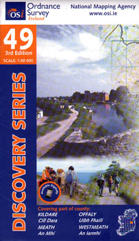
- Offaly - Westmeath OSI Discovery 48
- Map No. 48, Offaly North - Westmeath South in the Discovery series from the OSI, the Ordnance Survey of Ireland, which presents the country on detailed topographic maps at 1:50,000, with additional overprint highlighting campsites and caravan parks, youth hostels, etc. Current 3rd edition of this map was published in February 2011.Maps in the... Read more
De Zwerver
Netherlands
Netherlands
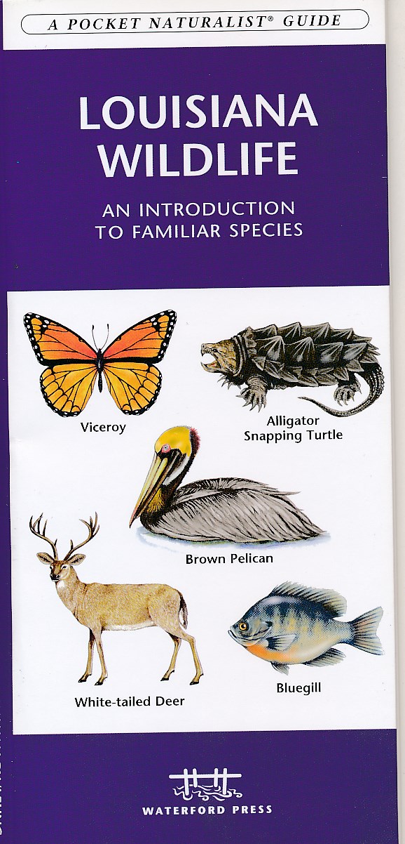
- Natuurgids Louisiana wildlife | Waterford Press
- Louisiana Wildlife is the perfect pocket-sized, folding guide for the nature enthusiast. This beautifully illustrated guide highlights over 140 familiar species of birds, mammals, reptiles, amphibians, fishes, butterflies/insects and crustaceans and includes a map featuring prominent state-wide wildlife sanctuaries. Laminated for durability,... Read more
De Zwerver
Netherlands
2020
Netherlands
2020
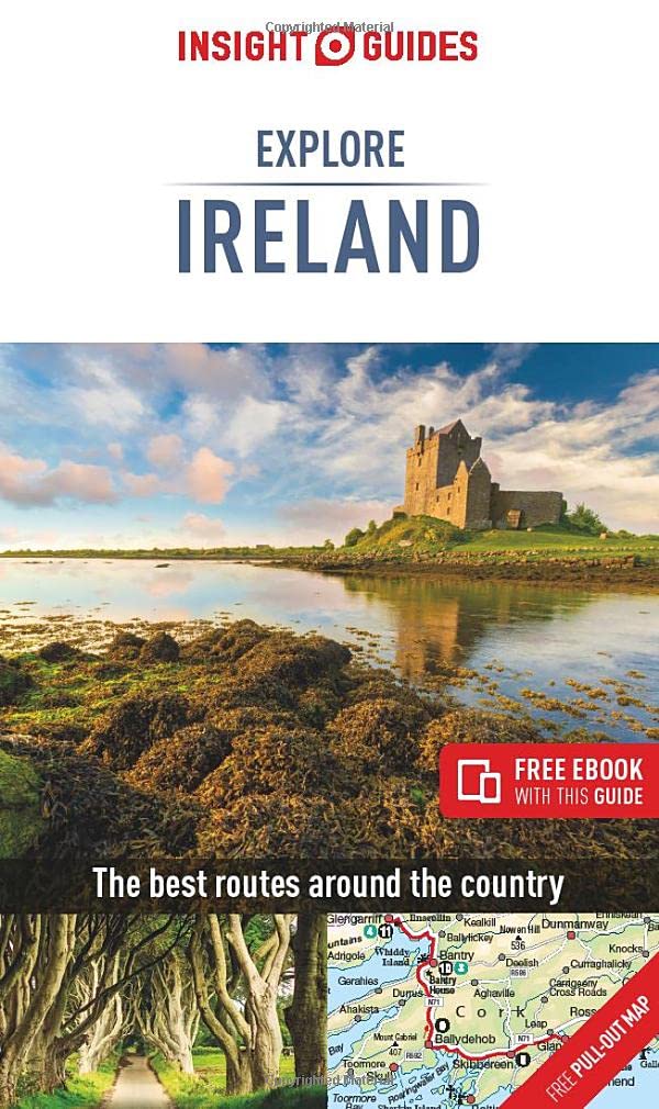
- Reisgids Explore Ireland - Ierland | Insight Guides
- Insight Guides Explore IrelandTravel made easy. Ask local experts. Focused travel guide featuring the very best routes and itineraries, now with free eBook.Discover the best of Ireland with this unique travel guide, packed full of insider information and stunning images. From making sure you don`t miss out on must-see, top attractions like... Read more
- Also available from:
- Stanfords, United Kingdom

Stanfords
United Kingdom
2020
United Kingdom
2020
- Insight Guides Explore Ireland (Travel Guide with Free eBook)
- Insight Guides Explore IrelandTravel made easy. Ask local experts. Focused travel guide featuring the very best routes and itineraries, now with free eBook.Discover the best of Ireland with this unique travel guide, packed full of insider information and stunning images. From making sure you don`t miss out on must-see, top attractions like... Read more
De Zwerver
Netherlands
Netherlands
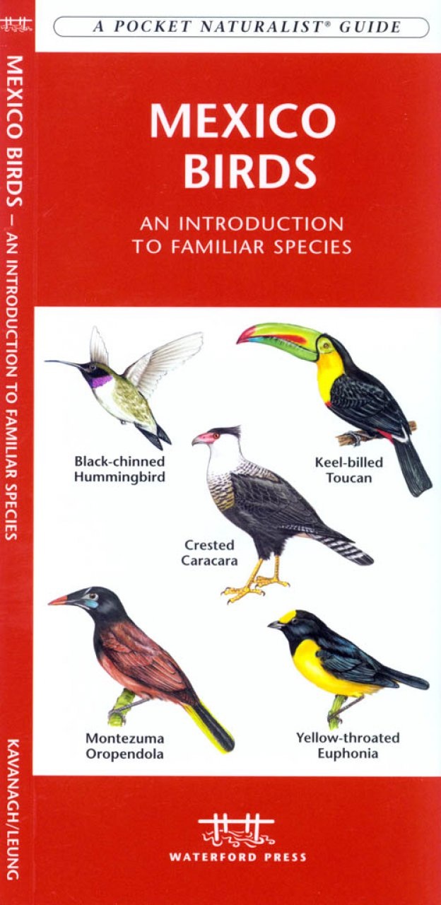
- Vogelgids - Natuurgids Mexico Birds | Waterford Press
- Mexico Birds is the perfect pocket-sized, folding guide for the bird lover and travelling nature enthusiast. This beautifully illustrated guide highlights over 164 familiar species and includes a map featuring prominent country-wide birding destinations including Veracruz, considered one of the world's prime birding hotspots. Laminated for... Read more

De Zwerver
Netherlands
2016
Netherlands
2016
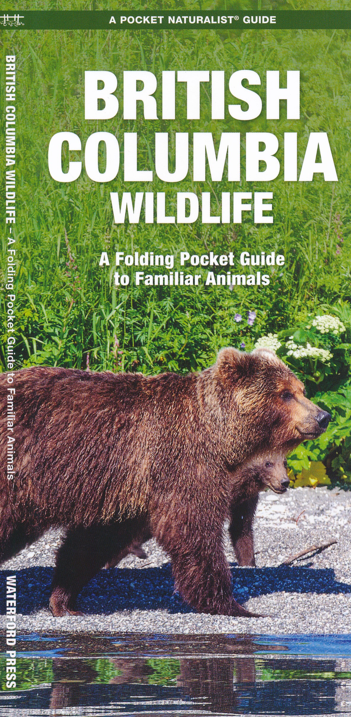
- Natuurgids British Columbia Wildlife | Waterford Press
- British Columbia Wildlife, An Introduction to Familiar Species, is a must-have reference guide for beginners and experts alike. Whether you're on a nature hike or taking a stroll in your neighborhood, you'll want to take along a copy of this indispensable guide. The Pocket Naturalist series is an introduction to common plants and animals and... Read more
De Zwerver
Netherlands
Netherlands
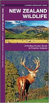
- Natuurgids New Zealand wildlife | Waterford Press
- Een bijzonder handige uitklapkaart met alle veelvoorkomende dieren van Nieuw Zeeland. Duidelijke illustraties, goede korte omschrijving van soort en leefgebied, geplastificeerd. The unique, dinosaur-like, tuatara is one of thousands of species of animals inhabiting the diverse ecosystems found thoughout New Zealand, many endemic to the islands.... Read more
De Zwerver
Netherlands
Netherlands
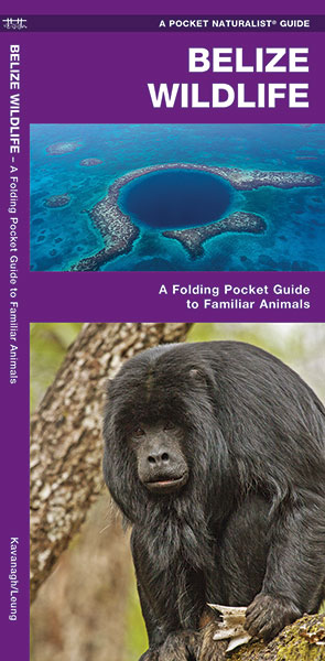
- Natuurgids - Vogelgids Belize Wildlifde | Waterford Press
- Handige uitklapkaart, geplastificeerd met afbeeldingen en korte beschrijvingen van veel voorkomende soorten in Belize. Belize is the permanent or migratory home of 500 species of birds, including the national bird – the keel-billed toucan. This beautifully illustrated guide highlights over 140 familiar and unique species of mammals, birds,... Read more
De Zwerver
Netherlands
Netherlands
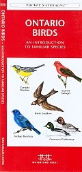
- Vogelgids - Natuurgids Ontario Birds | Waterford Press
- Ontario Birds is the perfect pocket-sized, folding guide for the bird lover and nature enthusiast. This beautifully illustrated guide highlights over 140 familiar species and includes a map featuring prominent province-wide birding hotspots. Laminated for durability, this handy guide is a great source of portable information and ideal for field... Read more
De Zwerver
Netherlands
Netherlands
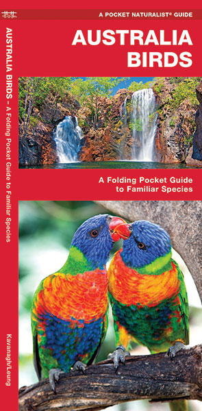
- Vogelgids - Natuurgids Australian Birds ( Australië ) | Waterford Press
- en bijzonder handige uitklapkaart met alle veelvoorkomende vogels van Australië. Duidelijke illustraties, goede korte omschrijving van soort en leefgebied, geplastificeerd. The Pocket Naturalist series introduces novices to common plants and animals and natural phenomena. Each pocket-sized, folding guide highlights up to 150 species and most... Read more
De Zwerver
Netherlands
Netherlands
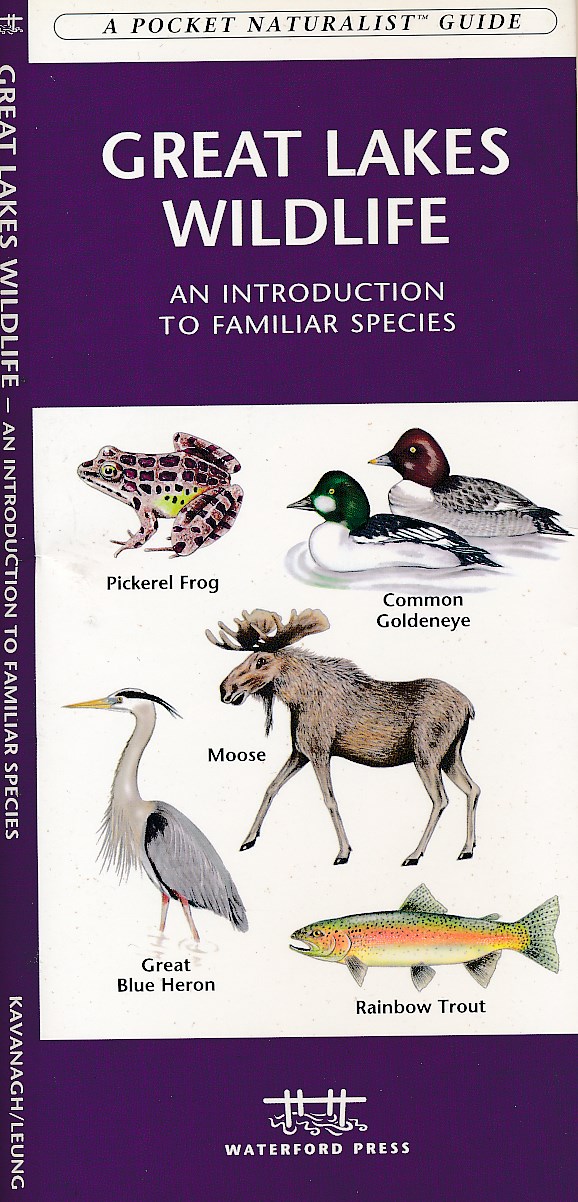
- Natuurgids Great Lakes wildlife | Waterford Press
- Great Lakes Wildlife is the perfect pocket-sized, folding guide for the nature enthusiast. This beautifully illustrated guide highlights over 140 familiar species of birds, mammals, reptiles, amphibians, insects and fishes and includes a map featuring prominent wildlife-viewing hotspots Laminated for durability, this handy guide is a great... Read more
Karten

The Book Depository
United Kingdom
United Kingdom
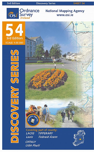
- Laois, Offlay, Tipperary
- Map No. 54, Laois North West in the Discovery series from the OSI, the Ordnance Survey of Ireland, which presents the country on detailed topographic maps at 1:50,000, with additional overprint highlighting campsites and caravan parks, youth hostels, etc. Current 3rd edition of this map was published in October 2011.Maps in the Discovery series... Read more
- Also available from:
- Stanfords, United Kingdom

Stanfords
United Kingdom
United Kingdom
- Laois - Offaly - Tipperary OSI Discovery 54
- Map No. 54, Laois North West in the Discovery series from the OSI, the Ordnance Survey of Ireland, which presents the country on detailed topographic maps at 1:50,000, with additional overprint highlighting campsites and caravan parks, youth hostels, etc. Current 3rd edition of this map was published in October 2011.Maps in the Discovery series... Read more
- Also available from:
- De Zwerver, Netherlands
- Stanfords, United Kingdom
De Zwerver
Netherlands
Netherlands
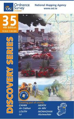
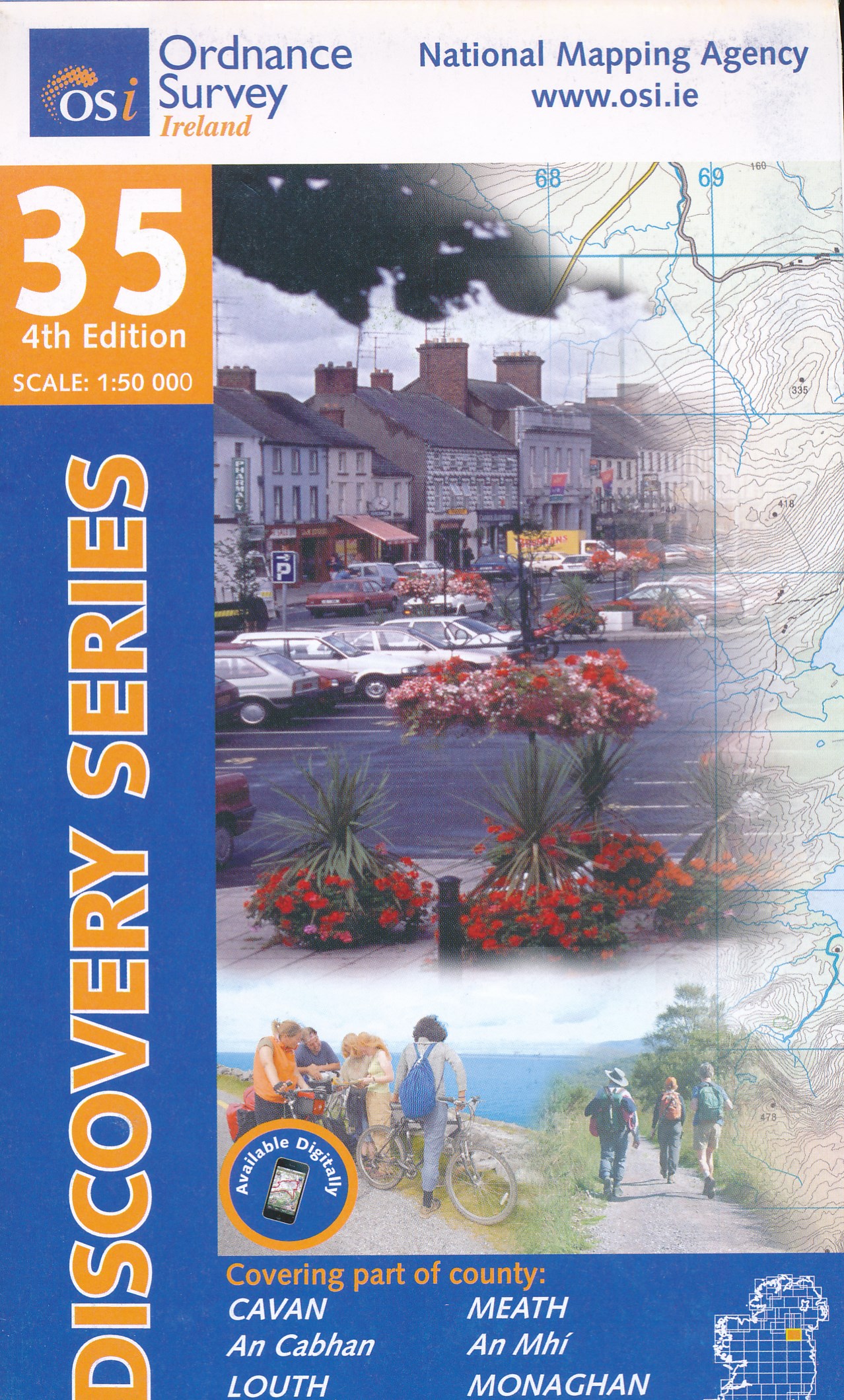
- Topografische kaart - Wandelkaart 35 Discovery Cavan, Louth, Meath, Monaghan | Ordnance Survey Ireland
- Map No. 35, Cavan East - Meath North in the Discovery series from the OSI, the Ordnance Survey of Ireland, which presents the country on detailed topographic maps at 1:50,000, with additional overprint highlighting campsites and caravan parks, youth hostels, etc. Current 3rd edition of this map was published in December 2011.Maps in the... Read more

Stanfords
United Kingdom
United Kingdom
- Cavan - Louth - Meath - Monaghan OSI Discovery 35
- Map No. 35, Cavan East - Meath North in the Discovery series from the OSI, the Ordnance Survey of Ireland, which presents the country on detailed topographic maps at 1:50,000, with additional overprint highlighting campsites and caravan parks, youth hostels, etc. Current 3rd edition of this map was published in December 2011.Maps in the... Read more

The Book Depository
United Kingdom
United Kingdom
- Kilkenny, Laois, Tipperary
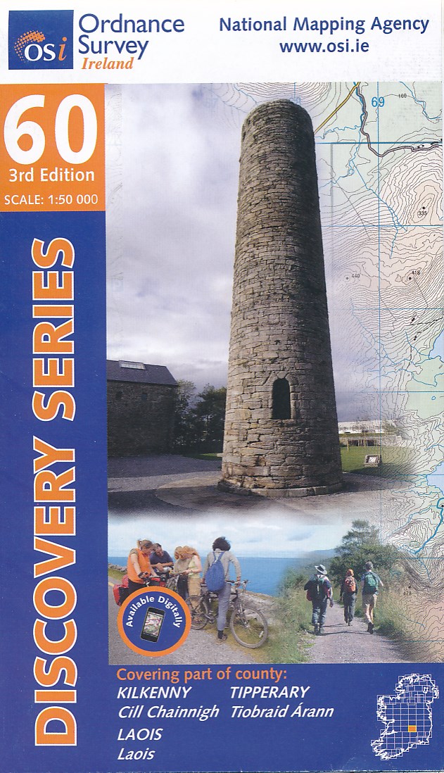
- Map No. 60, Kilkenny North - Laois South in the Discovery series from the OSI, the Ordnance Survey of Ireland, which presents the country on detailed topographic maps at 1:50,000, with additional overprint highlighting campsites and caravan parks, youth hostels, etc. Current 3rd edition of this map was published in October 2011.Maps in the... Read more
- Also available from:
- De Zwerver, Netherlands
De Zwerver
Netherlands
Netherlands
- Topografische kaart - Wandelkaart 60 Discovery Kilkenny, Laois, Tipperary | Ordnance Survey Ireland
- Map No. 60, Kilkenny North - Laois South in the Discovery series from the OSI, the Ordnance Survey of Ireland, which presents the country on detailed topographic maps at 1:50,000, with additional overprint highlighting campsites and caravan parks, youth hostels, etc. Current 3rd edition of this map was published in October 2011.Maps in the... Read more

The Book Depository
United Kingdom
United Kingdom
- Waterford
- Map No. 82, Waterford South-East in the Discovery series from the OSI, the Ordnance Survey of Ireland, which presents the country on detailed topographic maps at 1:50,000, with additional overprint highlighting campsites and caravan parks, youth hostels, etc. Current 3rd edition of this map was published in January 2012.Maps in the Discovery... Read more
- Also available from:
- Stanfords, United Kingdom
Stanfords
United Kingdom
United Kingdom
- Waterford SE OSI Discovery 82
- Map No. 82, Waterford South-East in the Discovery series from the OSI, the Ordnance Survey of Ireland, which presents the country on detailed topographic maps at 1:50,000, with additional overprint highlighting campsites and caravan parks, youth hostels, etc. Current 3rd edition of this map was published in January 2012.Maps in the Discovery... Read more

De Zwerver
Netherlands
Netherlands
- Wandelkaart 2 Stara Planina gebergte | Domino
- Stara Planina Central: Uzana to Vratnik map at 1:50,000 from Bulgarian publishers Domino, contoured and GPS compatible, with hiking trails, accommodation options including a list of local mountain refuges, etc. The map is double-sided and covers the mountains from just west of the Uzana massif, the geographical centre of Bulgaria, eastwards to... Read more
- Also available from:
- Stanfords, United Kingdom

Stanfords
United Kingdom
United Kingdom
- Stara Planina Central: Uzana to Vratnik Domino Map
- Stara Planina Central: Uzana to Vratnik map at 1:50,000 from Bulgarian publishers Domino, contoured and GPS compatible, with hiking trails, accommodation options including a list of local mountain refuges, etc. The map is double-sided and covers the mountains from just west of the Uzana massif, the geographical centre of Bulgaria, eastwards to... Read more
De Zwerver
Netherlands
Netherlands
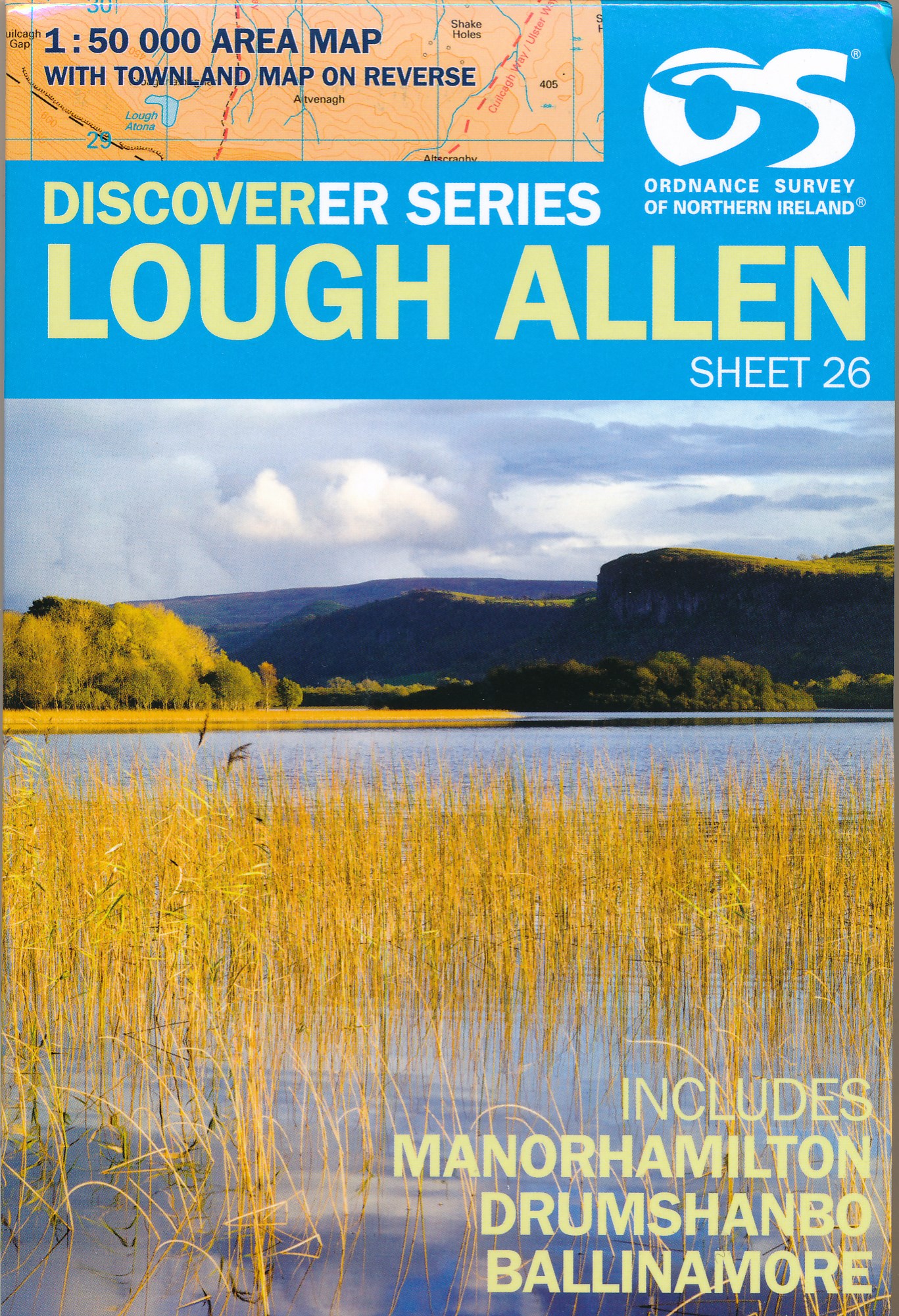
- Wandelkaart 26 Discoverer Lough Allen | Ordnance Survey Northern Ireland
- Zeer gedetailleerde topografische kaart met een aantal toegevoegde toeristische symbolen voor bijv. bezienswaardigheden, campings en jeugdherbergen. Met hoogtelijnen, mooi kleurgebruik en ingetekende lange-afstands-wandelroutes. Op deze kaart zijn de nationale parken en de 'national reserves ' uitstekend te vinden. De kaart is dus zowel voor de... Read more
De Zwerver
Netherlands
Netherlands
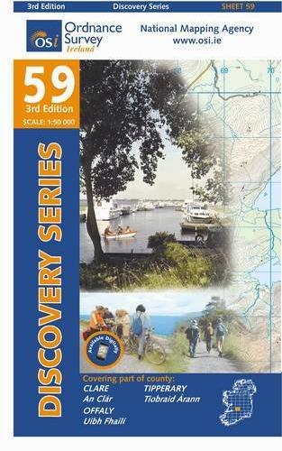
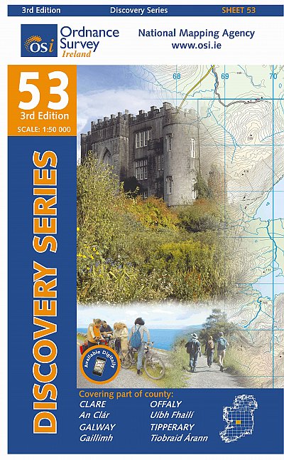
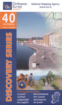
- Topografische kaart - Wandelkaart 53 Discovery Clare, Galway, Offaly, Tipperary | Ordnance Survey Ireland
- Map No. 53, Galway South-East - Offaly West - Tipperary North in the Discovery series from the OSI, the Ordnance Survey of Ireland, which presents the country on detailed topographic maps at 1:50,000, with additional overprint highlighting campsites and caravan parks, youth hostels, etc. Current 3rd edition of this map was published in October... Read more
De Zwerver
Netherlands
Netherlands
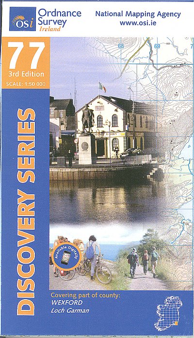
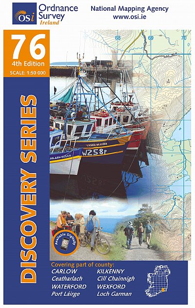
- Topografische kaart - Wandelkaart 76 Discovery Carlow, Kilkenny, Waterford, Wexford | Ordnance Survey Ireland
- Map No. 76, Kilkenny South-East - Wexford South-West in the Discovery series from the OSI, the Ordnance Survey of Ireland, which presents the country on detailed topographic maps at 1:50,000, with additional overprint highlighting campsites and caravan parks, youth hostels, etc. Current 4th edition of this map was published in April 2013.Maps... Read more
- Also available from:
- Stanfords, United Kingdom
Stanfords
United Kingdom
United Kingdom
- Carlow - Kilkenny - Waterford - Wexford OSI Discovery 76
- Map No. 76, Kilkenny South-East - Wexford South-West in the Discovery series from the OSI, the Ordnance Survey of Ireland, which presents the country on detailed topographic maps at 1:50,000, with additional overprint highlighting campsites and caravan parks, youth hostels, etc. Current 4th edition of this map was published in April 2013.Maps... Read more

De Zwerver
Netherlands
Netherlands
- Wandelkaart 3 Stara Planina gebergte | Domino
- Stara Planina Western: Belogradchik to Berkovita map at 1:50,000 from Bulgarian publishers Domino, contoured and GPS compatible, with hiking trails, accommodation options including a list of local mountain refuges, etc. The map is double-sided and covers the mountains from the peak of Byala Voda near Belogradchik eastwards to just beyond... Read more
- Also available from:
- Stanfords, United Kingdom

Stanfords
United Kingdom
United Kingdom
- Stara Planina Western: Belogradchik to Berkovita Domino Map
- Stara Planina Western: Belogradchik to Berkovita map at 1:50,000 from Bulgarian publishers Domino, contoured and GPS compatible, with hiking trails, accommodation options including a list of local mountain refuges, etc. The map is double-sided and covers the mountains from the peak of Byala Voda near Belogradchik eastwards to just beyond... Read more

De Zwerver
Netherlands
Netherlands
- Wandelkaart 4 Stara Planina gebergte | Domino
- Stara Planina Western: Berkovita to Zlatitsa map at 1:50,000 from Bulgarian publishers Domino, contoured and GPS compatible, with hiking trails, accommodation options including a list of local mountain refuges, etc. The map is double-sided and covers the mountains from Varshets (directly north of Sofia) to just beyond Etrepole.Maps in the... Read more
- Also available from:
- Stanfords, United Kingdom

Stanfords
United Kingdom
United Kingdom
- Stara Planina Western: Berkovita to Zlatitsa Domino Map
- Stara Planina Western: Berkovita to Zlatitsa map at 1:50,000 from Bulgarian publishers Domino, contoured and GPS compatible, with hiking trails, accommodation options including a list of local mountain refuges, etc. The map is double-sided and covers the mountains from Varshets (directly north of Sofia) to just beyond Etrepole.Maps in the... Read more
De Zwerver
Netherlands
Netherlands
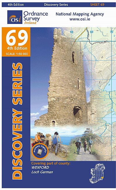
- Topografische kaart - Wandelkaart 69 Discovery Wexford | Ordnance Survey Ireland
- Map No. 69, Wexford Central in the Discovery series from the OSI, the Ordnance Survey of Ireland, which presents the country on detailed topographic maps at 1:50,000, with additional overprint highlighting campsites and caravan parks, youth hostels, etc. Current 4th edition of this map was published in January 2013.Maps in the Discovery series... Read more
- Also available from:
- Stanfords, United Kingdom

Stanfords
United Kingdom
United Kingdom
- Wexford OSI Discovery 69
- Map No. 69, Wexford Central in the Discovery series from the OSI, the Ordnance Survey of Ireland, which presents the country on detailed topographic maps at 1:50,000, with additional overprint highlighting campsites and caravan parks, youth hostels, etc. Current 4th edition of this map was published in January 2013.Maps in the Discovery series... Read more
Weitere …