Irland
Beschreibung

With its green hills, wet bogs, wild open countryside and dramatic cliffs along the Atlantic coast, Ireland sits at the most westerly edge of Western Europe. Enjoy an abundance of sea birds, ancient churches and stone walls, and the occasional forest and beach. Trails will lead you along Irelands clear streams and wonderful valleys, passing castles and farms, and offer panoramic views of mountains and the Atlantic Ocean. No wonder hill walking is popular, but with Ireland being relatively sparsely populated it never gets busy.
There are over 30 National Waymarked Ways, adding up to about 3000km of walking trails all across Ireland. The Ways are clearly signposted with standard waymarkers: a yellow arrow and walking man. A wide choice of detailed maps and guidebooks exist for all trails. Famous are the Kerry Way (215km) around the southwestern Iveragh Peninsula, the Dingle Way (179km), also in the southwest, and the Wicklow Way (127km) south of Dublin in the east. The European long distance trail E8 runs right across Ireland, starting from Dursey Head on the west coast, to Dublin in the east, partly coinciding with the Kerry Way and Wicklow Way.
Walking in Ireland is possible all year round. Ireland has no "right of way" and expect to walk on (forest) roads in many places. Irish weather can change frequently and suddenly, so take care to bring a rainproof coat at all times. Stiles and bridges have been built where necessary. Nevertheless be prepared for very wet and boggy terrain at times. Accommodation comes in all forms, ranging from basic hostels to luxury hotels, as well as B&B's and guest houses. And of course there are the legendary Irish pubs for you to enjoy a pint of stout.
Wanderwege
- Avondhu Way
- Ballyhoura WayGPX
- Barrow WayGPX
- Beara Breifne Way
- Beara WayGPX
- Blackwater WayGPX
- Bluestack WayGPX
- Burren WayGPX
- Cavan WayGPX
- Croagh Patrick Heritage TrailGPX
- Dingle WayGPX
- Dublin Mountains WayGPX
- Duhallow Way
- E8GPX
- East Clare WayGPX
- East Munster WayGPX
- Grand Canal WayGPX
- Great Western Greenway
- Hymany WayGPX
- Irish Coast to Coast Walk
- Kerry WayGPX
- Leitrim WayGPX
- Lough Derg WayGPX
- Lung Way
- Mid Clare WayGPX
- Miners Way and Historical TrailGPX
- Monaghan WayGPX
- Multeen WayGPX
- Nore Valley WayGPX
- North Cork Way
- North Kerry WayGPX
- Offaly WayGPX
- Ormond Way
- Royal Canal WayGPX
- Santiago de Compostela Pilgrims WayGPX
- Sheep's Head WayGPX
- Slí An EaragailGPX
- Slí Arainn MhórGPX
- Slí CholmcilleGPX
- Slí ChonamaraGPX
- Slí Dún na nGallGPX
- Slí Gaeltacht Mhúscrai
- Slí na FinneGPX
- Slí na RosannGPX
- Slieve Bloom WayGPX
- Slieve Felim WayGPX
- Sligo WayGPX
- South Leinster WayGPX
- Suck Valley WayGPX
- Táin WayGPX
- Tipperary Heritage WayGPX
- Ulster WayGPX
- Western WayGPX
- Westmeath WayGPX
- Wicklow WayGPX
Regionen
Landesteile


Links
Fakten
Berichte
Führer und Karten
Übernachtung
Organisationen
Reisebüros
GPS
Sonstiges
Bücher

United Kingdom
2018
- Also available from:
- De Zwerver, Netherlands
Netherlands
2018


United Kingdom
2015
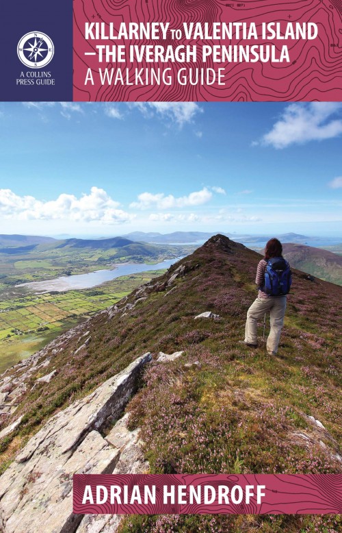
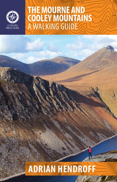
- Killarney to Valentia Island
- The Iveragh Peninsula, the largest in southwest Ireland, stretches from Killarney to Bolus Head and attracts thousands of visitors annually. The Ring of Kerry coastal road winds along its fringes and sandstone peaks soar high above. It is a landscape of raw and stunning beauty from the lakes that fill the corries to the spectacular cliff... Read more
- Also available from:
- De Zwerver, Netherlands
Netherlands
2015
- Wandelgids Killarney to Valentia Island - The Iveragh Peninsula | The Collins Press
- The Iveragh Peninsula, the largest in southwest Ireland, stretches from Killarney to Bolus Head and attracts thousands of visitors annually. The Ring of Kerry coastal road winds along its fringes and sandstone peaks soar high above. It is a landscape of raw and stunning beauty from the lakes that fill the corries to the spectacular cliff... Read more

United Kingdom
- Wild Camping
- Exploring and Sleeping in the Wilds of the UK and Ireland Read more

United Kingdom
- Moon Ireland (Third Edition)
- Castles, Cliffs, and Lively Local Spots Read more

United Kingdom
2017
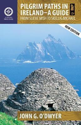
- Pilgrim Paths in Ireland
- From Slieve Mish to Skellig Michael Read more
- Also available from:
- De Zwerver, Netherlands
Netherlands
2017
- Wandelgids - Pelgrimsroute Pilgrim Paths of Ireland | The Collins Press
- From Slieve Mish to Skellig Michael Read more

United Kingdom
2020
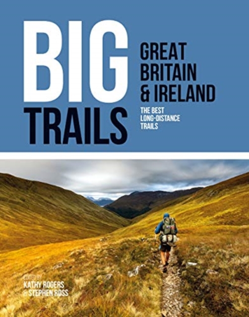
- Big Trails: Great Britain & Ireland
- The best long-distance trails Read more
- Also available from:
- De Zwerver, Netherlands
Netherlands
2020
- Wandelgids Great Britain & Ireland | Vertebrate Publishing
- The best long-distance trails Read more

- Also available from:
- De Zwerver, Netherlands
Netherlands
2018
Netherlands
2017
- Reisgids Insight Guide Ierland | Uitgeverij Cambium
- Een rijk geillustreerde reisgids met diepgaande teksten: één van de beste reisgidsen die er bestaan. Eerste deel bestaat uit een beschrijving van de unieke aspecten van de regio, daarna een deel echte reisgids en als afsluiting een deel met praktische informatie. De uitstekende informatie wordt vergezeld van prachtige foto's en heldere kaarten.... Read more

Netherlands
2024
Karten
Netherlands
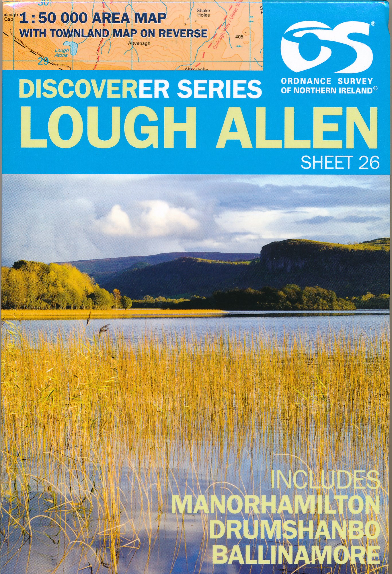
- Wandelkaart 26 Discoverer Lough Allen | Ordnance Survey Northern Ireland
- Zeer gedetailleerde topografische kaart met een aantal toegevoegde toeristische symbolen voor bijv. bezienswaardigheden, campings en jeugdherbergen. Met hoogtelijnen, mooi kleurgebruik en ingetekende lange-afstands-wandelroutes. Op deze kaart zijn de nationale parken en de 'national reserves ' uitstekend te vinden. De kaart is dus zowel voor de... Read more

Netherlands
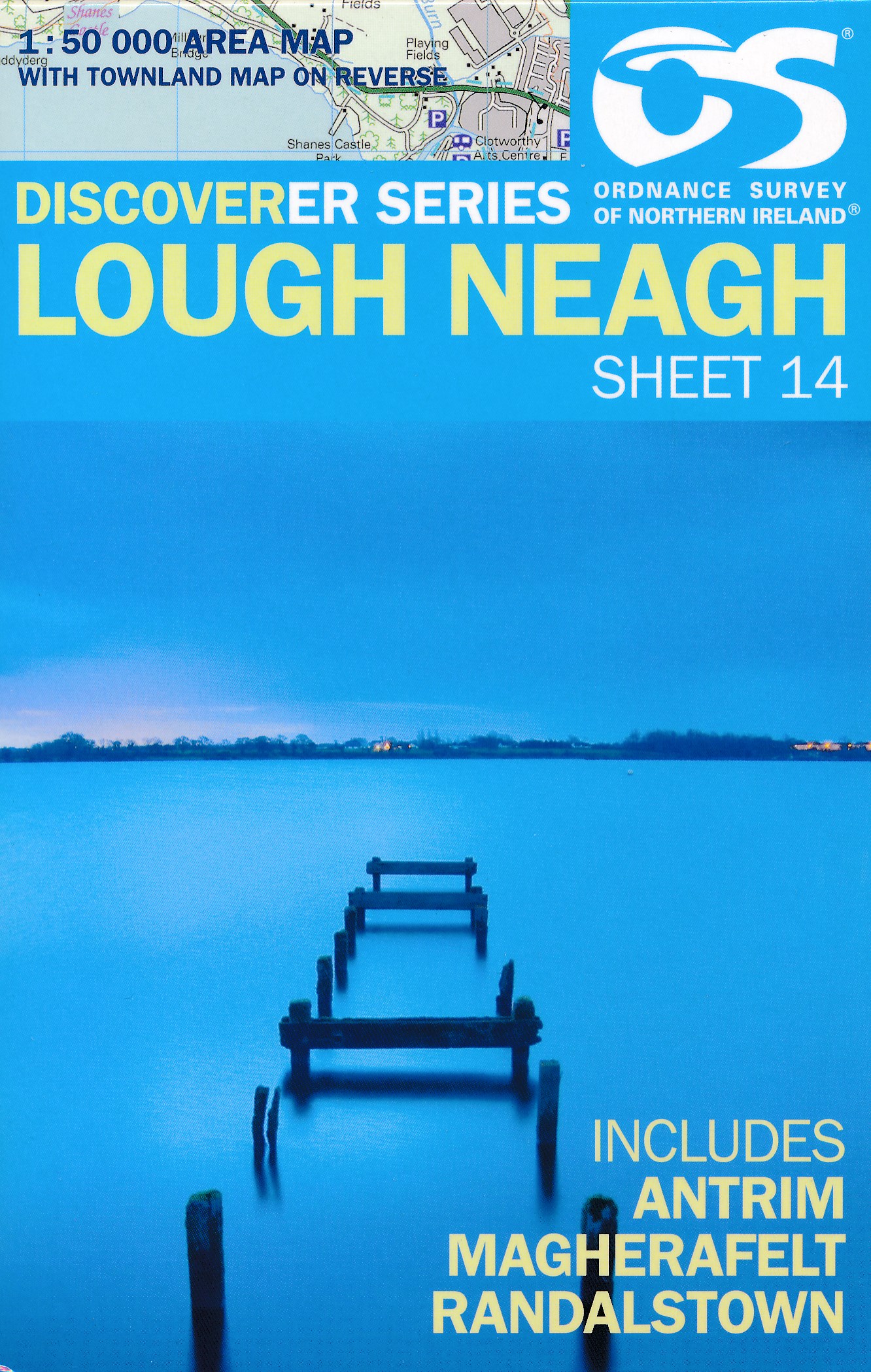
- Wandelkaart 14 Discoverer Lough Neagh | Ordnance Survey Northern Ireland
- Lough Neagh, map No. 14 in the Discoverer series from the Ordnance Survey of Northern Ireland presenting the country on detailed topographic maps at 1:50,000 with waymarked hiking trails, Sustrans National Cycle Network and other tourist information. Coverage includes Antrim, Magherafelt and Randalstown. Current edition E; publication date... Read more
- Also available from:
- Stanfords, United Kingdom

United Kingdom
- Lough Neagh OSNI Discovery 14
- Lough Neagh, map No. 14 in the Discoverer series from the Ordnance Survey of Northern Ireland presenting the country on detailed topographic maps at 1:50,000 with waymarked hiking trails, Sustrans National Cycle Network and other tourist information. Coverage includes Antrim, Magherafelt and Randalstown. Current edition E; publication date... Read more
Netherlands
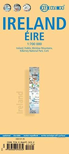
- Wegenkaart - landkaart Ireland - Ierland | Borch
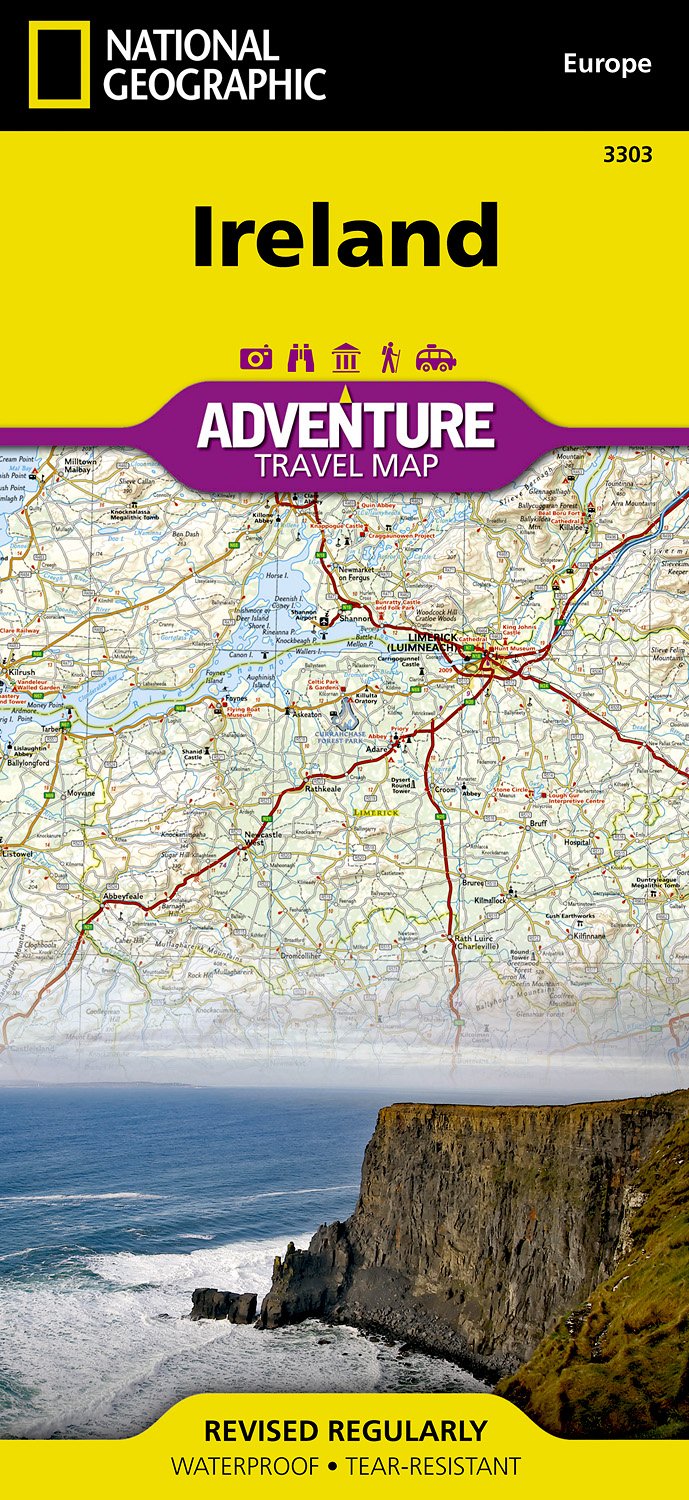
- Indexed road map of Ireland published by Borch on laminated and tear-resistant paper. Cork & Dublin street plans, and more detailed maps of Killarney NP & the Wicklow Mts are on the reverse. Road detail extends from motorways to secondary roads, with intermediate driving distances indicated on major routes. Main railways and ferry links are... Read more
- Also available from:
- Stanfords, United Kingdom

United Kingdom
- Ireland Borch
- Indexed road map of Ireland published by Borch on laminated and tear-resistant paper. Cork & Dublin street plans, and more detailed maps of Killarney NP & the Wicklow Mts are on the reverse. Road detail extends from motorways to secondary roads, with intermediate driving distances indicated on major routes. Main railways and ferry links are... Read more
Netherlands
2023
Netherlands
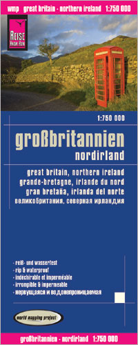
- Wegenkaart - landkaart Groot Brittannie en Noord Ierland | Reise Know-How Verlag
- Reise Know-How Landkarte Großbritannien 1 : 750 000 ab 8.9 EURO Reiß- und wasserfest Reise Know-How World Mapping Project. 1. Auflage 2013 Read more
Netherlands
2024
Netherlands
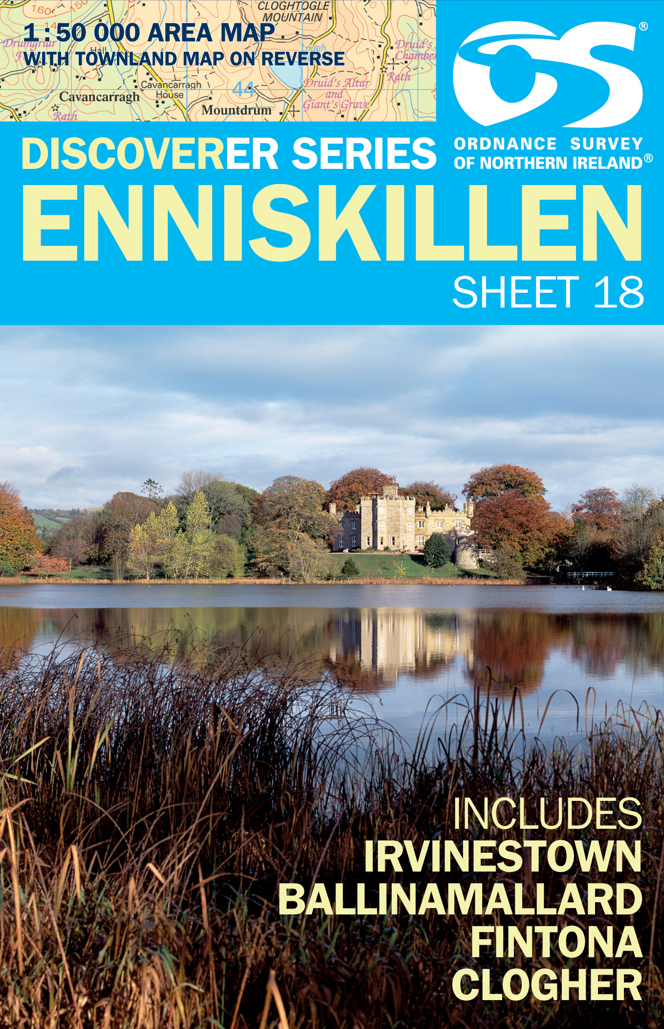
- Wandelkaart 18 Discoverer Enniskillen | Ordnance Survey Northern Ireland
- Enniskillen, map No. 18 in the Discoverer series from the Ordnance Survey of Northern Ireland presenting the country on detailed topographic maps at 1:50,000 with waymarked hiking trails, Sustrans National Cycle Network and other tourist information. Coverage includes Irvinestown, Ballinamallard, Fintona and Clogher. Current edtion E;... Read more
- Also available from:
- Stanfords, United Kingdom

United Kingdom
- Enniskillen OSNI Discovery 18
- Enniskillen, map No. 18 in the Discoverer series from the Ordnance Survey of Northern Ireland presenting the country on detailed topographic maps at 1:50,000 with waymarked hiking trails, Sustrans National Cycle Network and other tourist information. Coverage includes Irvinestown, Ballinamallard, Fintona and Clogher. Current edtion E;... Read more
Netherlands
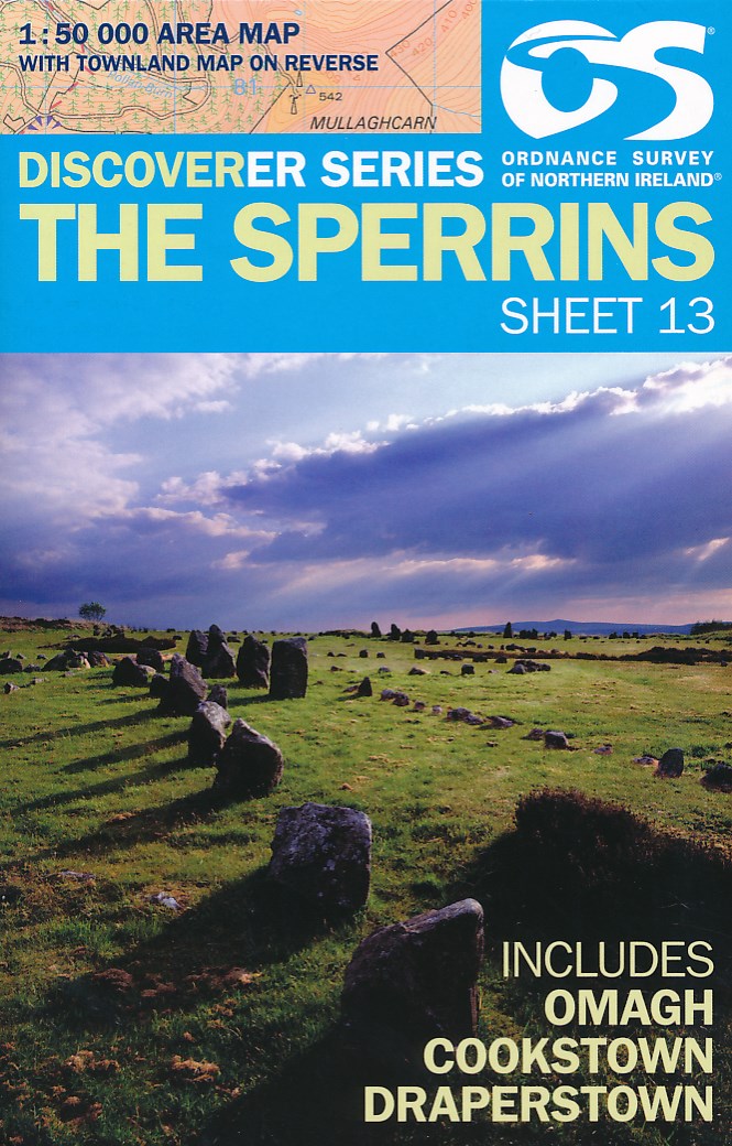
- Wandelkaart 13 Discoverer The Sperrins | Ordnance Survey Northern Ireland
- The Sperrins, map No. 13 in the Discoverer series from the Ordnance Survey of Northern Ireland presenting the country on detailed topographic maps at 1:50,000 with waymarked hiking trails, Sustrans National Cycle Network and other tourist information. Coverage includes Omagh, Cookstown and Draperstown. Current edition E; publication date... Read more
- Also available from:
- Stanfords, United Kingdom

United Kingdom
- The Sperrins OSNI Discovery 13
- The Sperrins, map No. 13 in the Discoverer series from the Ordnance Survey of Northern Ireland presenting the country on detailed topographic maps at 1:50,000 with waymarked hiking trails, Sustrans National Cycle Network and other tourist information. Coverage includes Omagh, Cookstown and Draperstown. Current edition E; publication date... Read more